


Kedartal Trek: A High-Altitude Journey to Shiva’s Crystal Lake
The Kedartal Trek is one of the most demanding and visually striking treks in the Indian Himalayas. Located deep in the Garhwal region of Uttarakhand, this trek leads to Kedartal, a pristine glacial lake resting at an altitude of around 4912 meters. Often referred to as Shiva’s lake, Kedartal lies at the base of towering peaks like Thalay Sagar, Meru, Bhrigupanth, and Jogin. Unlike meadow-based or forest-heavy treks, Kedartal is defined by raw terrain, exposed rock faces, and a constant sense of scale. This is a trek that tests physical strength, balance, and mental endurance while rewarding trekkers with some of the most dramatic mountain scenery in the Himalayas.
The Route and Its Relentless Ascent
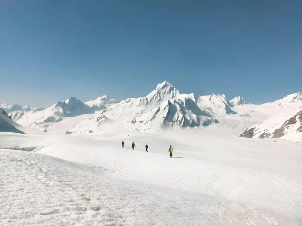
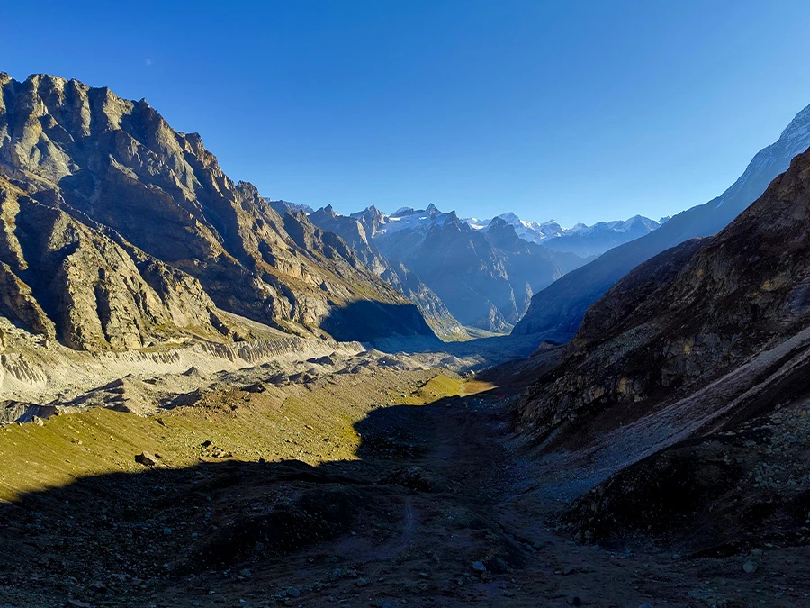
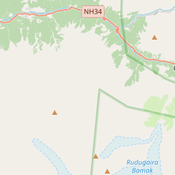
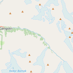
The trek begins from Gangotri, a major pilgrimage town that also serves as the gateway to several high-altitude expeditions. From the very first day, the trail makes its character clear. The ascent toward Bhoj Kharak is steep, rocky, and exposed, following the Kedar Ganga river upstream. Unlike gradual valley treks, Kedartal gains altitude aggressively, with continuous climbs and minimal flat sections. The route demands careful foot placement, especially in sections where loose rocks and narrow ledges dominate the trail. Each day involves sustained physical effort, making this trek suitable only for those with prior high-altitude trekking experience.
Terrain, Rock Sections, and Navigation Challenges
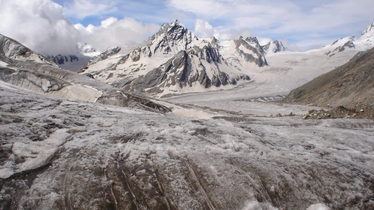
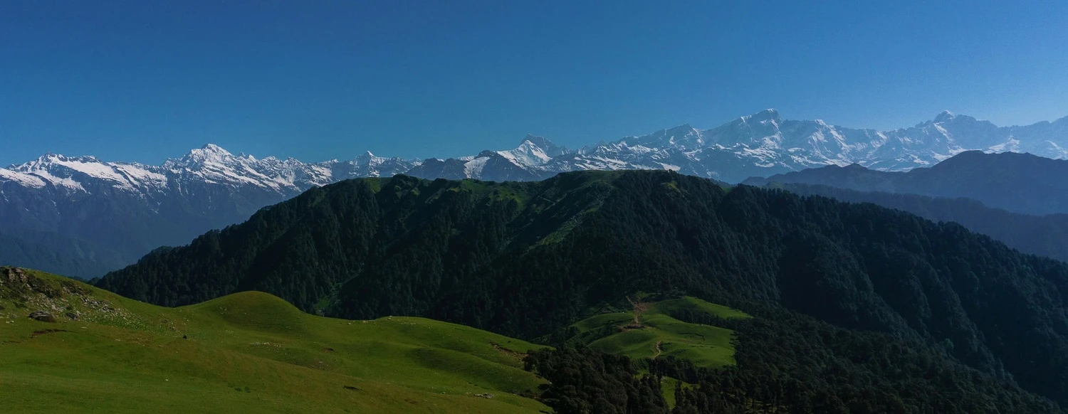
Kedartal is known for its rugged and technical terrain rather than long walking distances. The trail includes steep boulder sections, scree slopes, and exposed traverses where balance and focus are critical. There are no forests or meadows to ease the climb once past the lower sections. Instead, trekkers move through a harsh alpine environment shaped by glaciers and avalanches. Cairns and trail markings guide the way, but weather changes can reduce visibility quickly. Snow patches may appear even in summer, particularly near the lake, adding to the challenge. This terrain gives the trek a serious expedition-like feel.
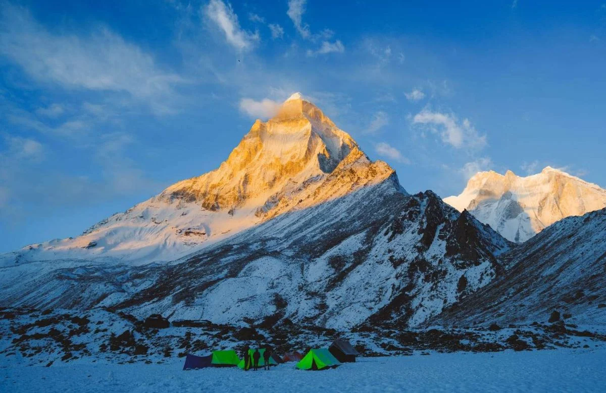
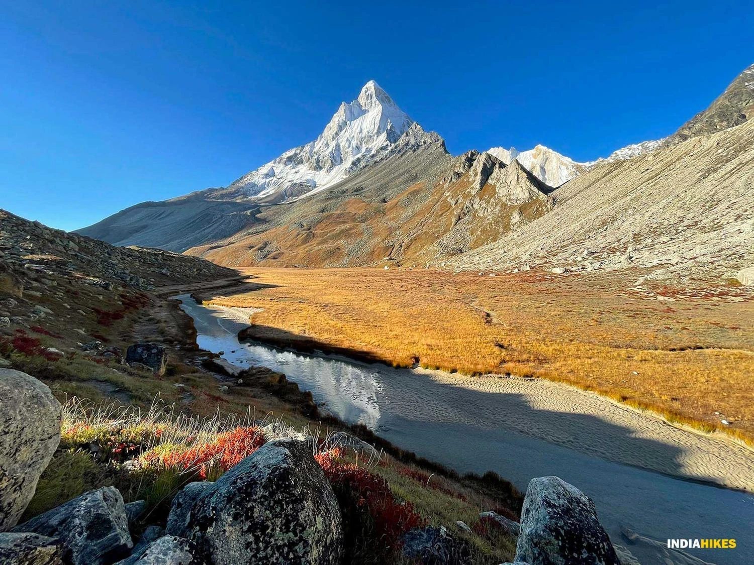
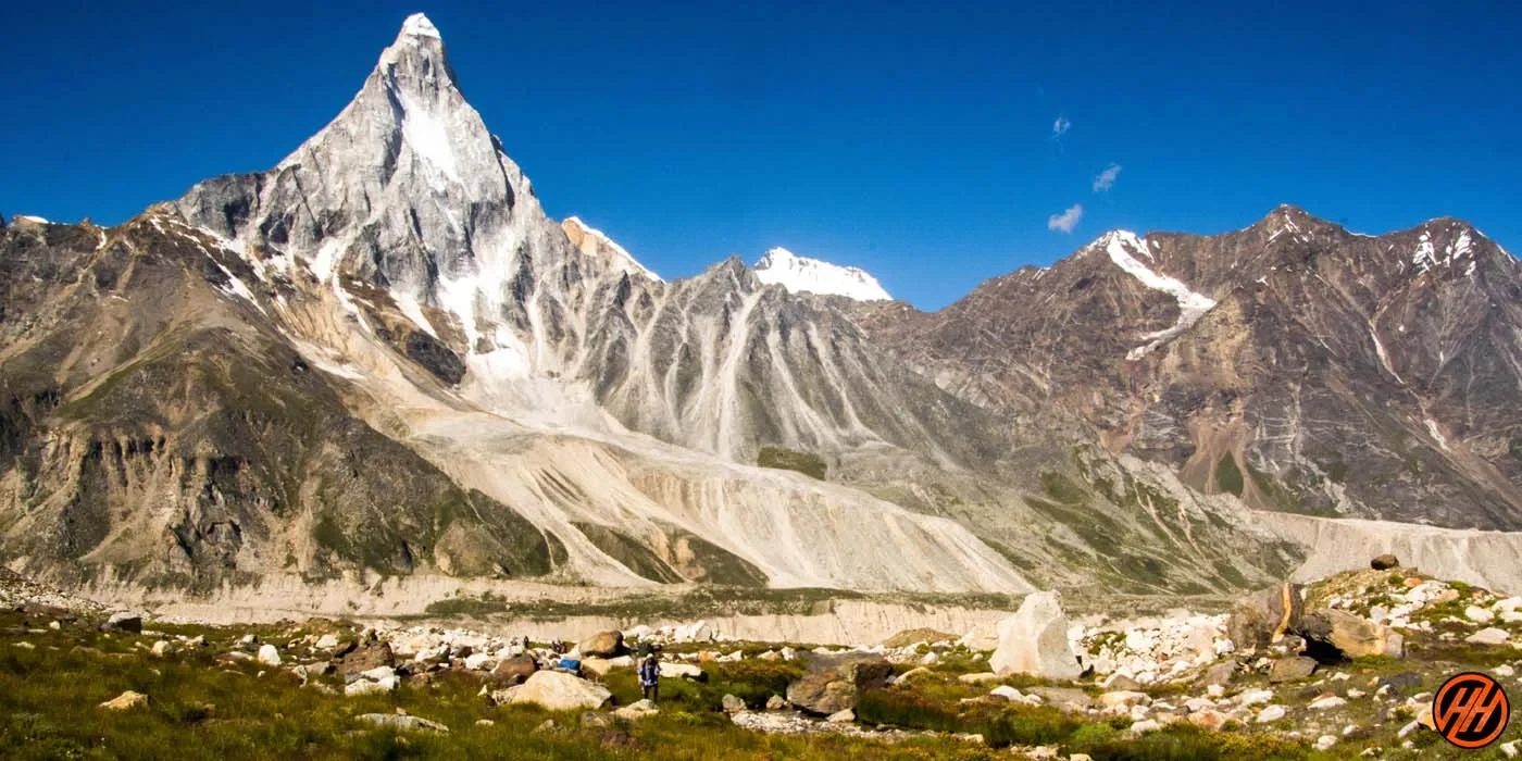
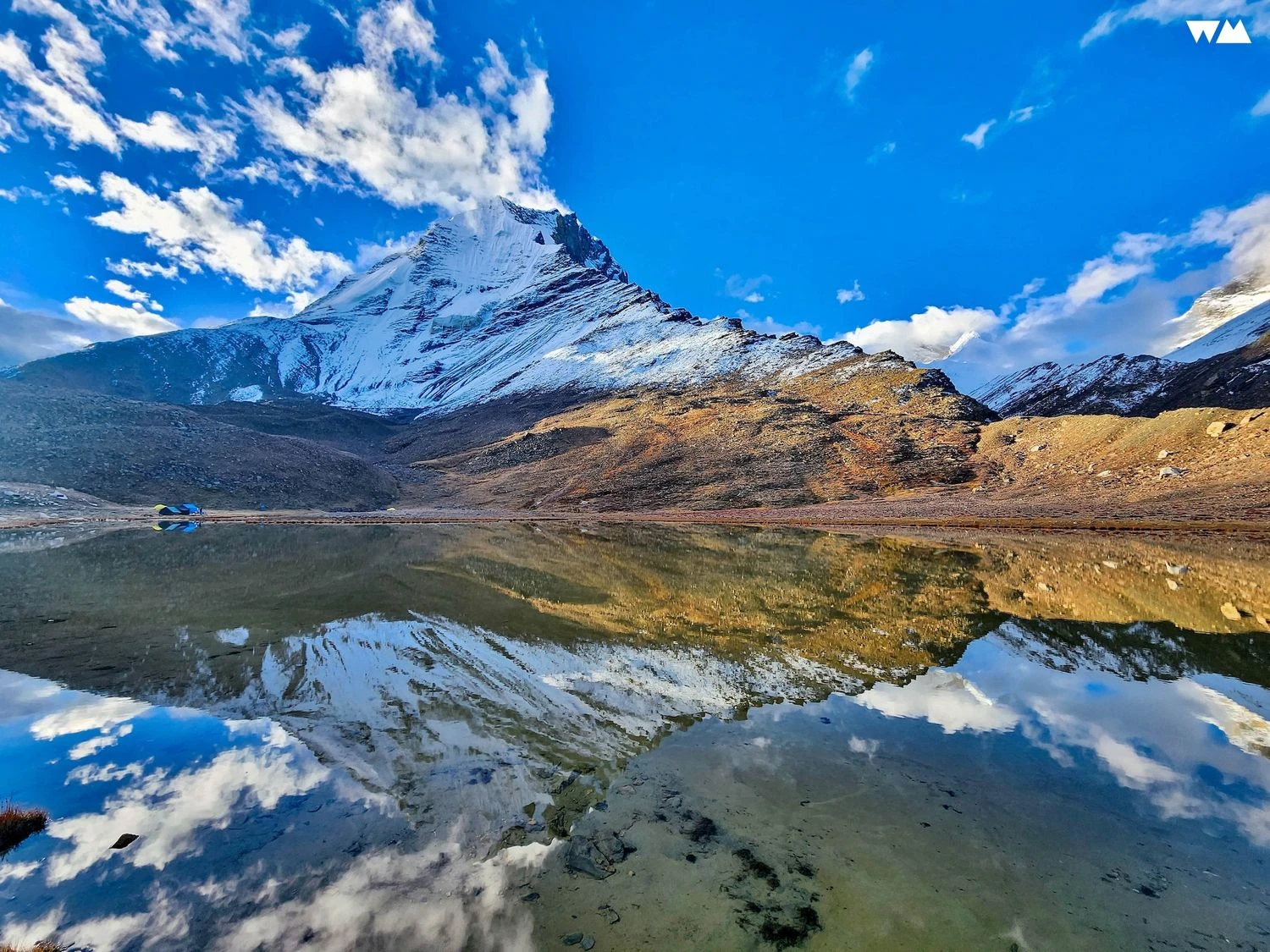
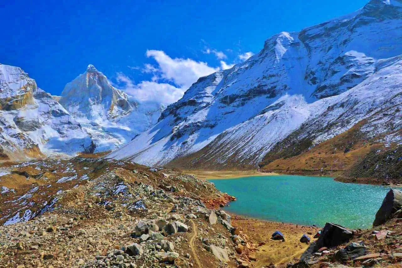
Kedartal Lake and the Surrounding Peaks
Reaching Kedartal is a moment of quiet intensity rather than celebration. The lake sits in a rocky basin surrounded by some of the most iconic peaks in the Garhwal Himalayas. The water is crystal clear, reflecting the jagged faces of Thalay Sagar and Meru when conditions are calm. There is a strong sense of isolation here, amplified by the absence of vegetation and human structures. Kedartal is not a place to linger casually. Cold winds, thin air, and rapidly changing weather demand respect. The lake feels sacred and remote, reinforcing why it is associated with Lord Shiva in local belief.
Weather Conditions and Best Time to Trek
The trekking season for Kedartal is short due to its altitude and terrain. May and June offer stable weather with snow still present near the lake, while September and early October provide clearer skies and colder nights. Monsoon months are risky due to landslides and slippery rock sections. Weather can change abruptly at higher camps, with strong winds and sudden snowfall even during peak season. Night temperatures often drop well below freezing. Proper layering, weather awareness, and early starts are essential for safety on this trek.
Difficulty Level and Who Should Attempt Kedartal
The Kedartal Trek is classified as difficult to very difficult. It is not suitable for beginners or those without prior high-altitude experience. The combination of steep ascents, technical terrain, high altitude, and limited evacuation options requires excellent fitness and mental resilience. Trekkers should be comfortable with long climbing days, exposure, and cold conditions. For experienced trekkers seeking a raw, no-frills Himalayan challenge with exceptional mountain views, Kedartal offers a deeply rewarding experience that feels closer to a mountaineering expedition than a recreational trek.