


Auden’s Col Trek: A Demanding Glacier Traverse Between Gangotri and Kedarnath
The Auden’s Col Trek is widely regarded as one of the most challenging and remote trekking expeditions in the Indian Himalayas. Located in the Garhwal region of Uttarakhand, this high-altitude route connects the Gangotri valley to the Kedarnath valley by crossing the formidable Auden’s Col at an altitude of about 5490 meters. Unlike popular trekking trails that follow established paths through forests or meadows, this expedition involves glacier navigation, moraine crossings, steep snow slopes, and long stretches of isolated mountain terrain. It is a true wilderness journey where trekkers experience the raw scale and complexity of Himalayan landscapes.
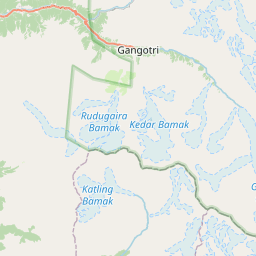
Approach Through the Gangotri Valley
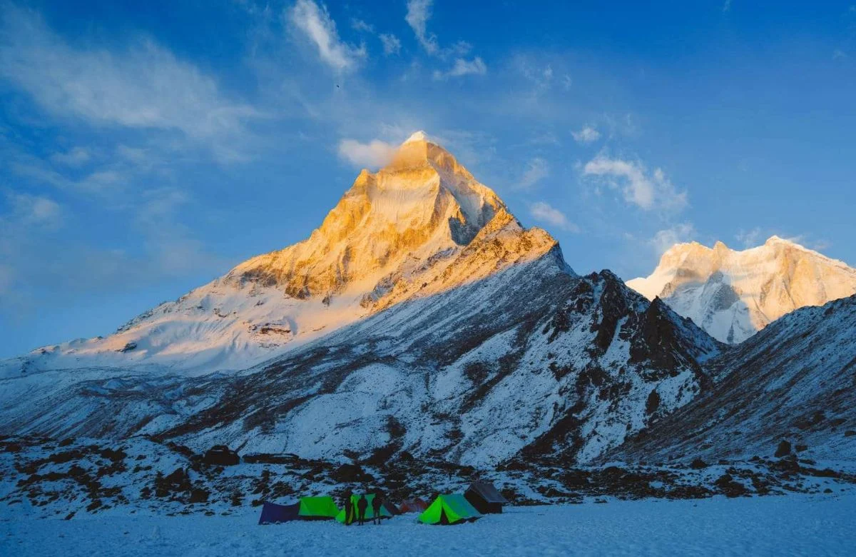
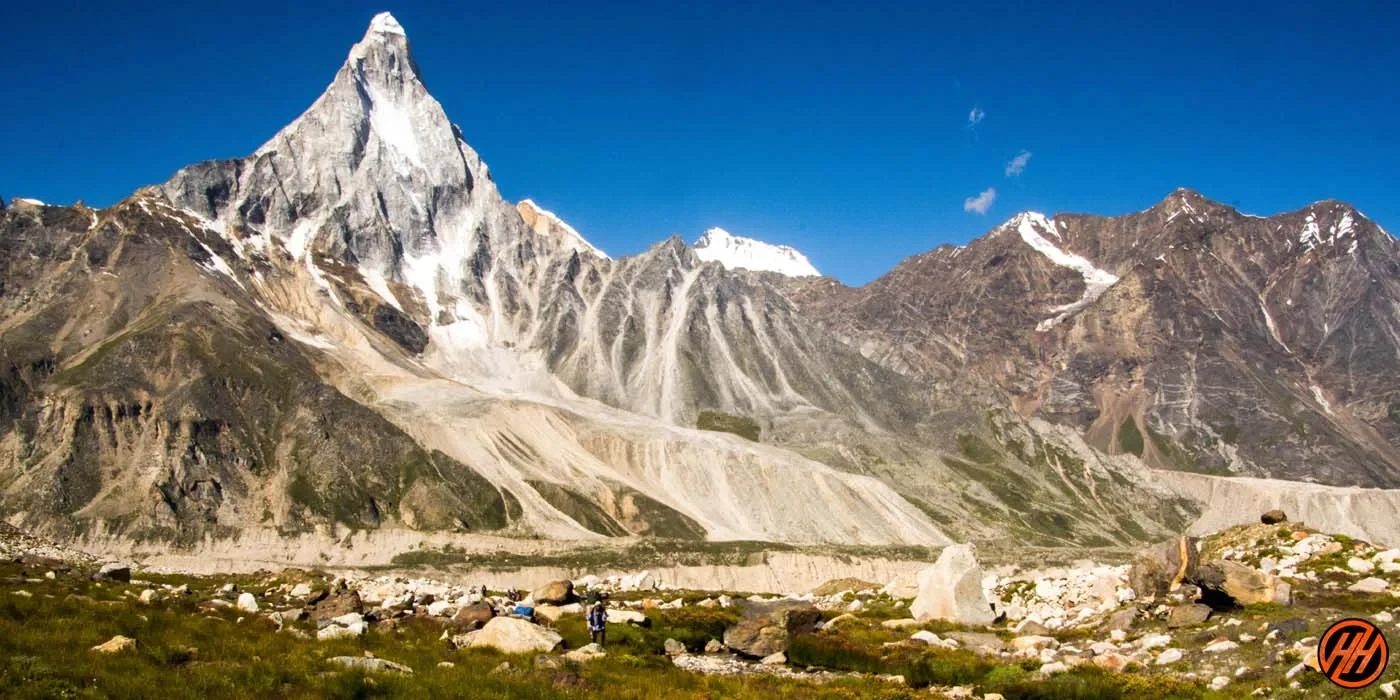
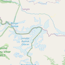
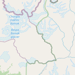
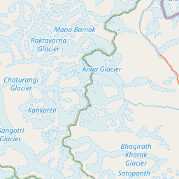
The trek begins at Gangotri, a sacred town on the banks of the Bhagirathi River. From here, the trail initially follows a well-defined route toward Bhojbasa and Gaumukh, the snout of the Gangotri Glacier. This section allows trekkers to gradually acclimatize while walking through alpine terrain marked by sparse vegetation and expanding mountain views. As the expedition progresses beyond Gaumukh, the landscape transforms into a world of rock, ice, and snow. Campsites are established on glacial moraine and open valleys where temperatures drop significantly, especially at night.
Technical Glacier Terrain and High Altitude Challenges
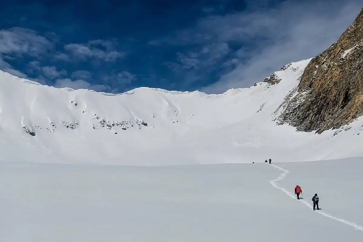
One of the defining features of the Auden’s Col Trek is its technical nature. Trekkers must traverse sections of the Gangotri Glacier and later the Khatling Glacier, navigating crevasses, unstable moraine, and steep ice slopes. The approach to Auden’s Col itself involves climbing snow-covered gradients where rope techniques and mountaineering equipment are essential. Weather conditions can change rapidly at this altitude, bringing strong winds and reduced visibility. Physical endurance, prior high-altitude experience, and familiarity with glacier travel are critical for completing this expedition safely.
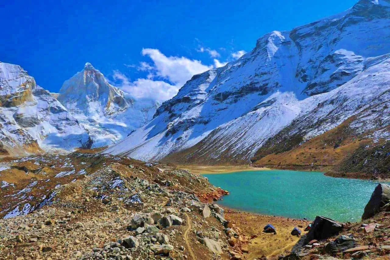
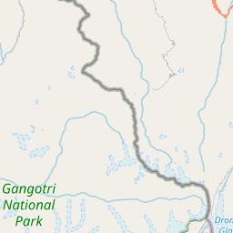
Crossing Auden’s Col and Entering the Kedarnath Valley
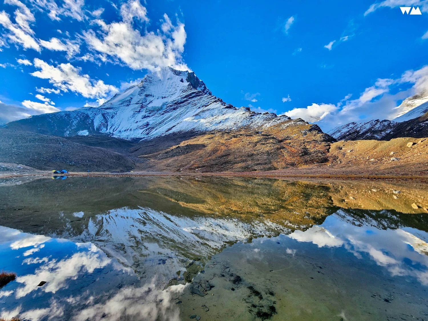
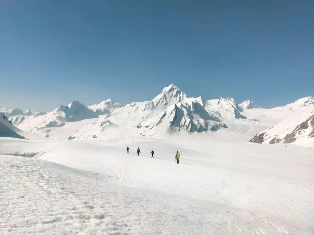
The crossing of Auden’s Col represents the most demanding phase of the trek. From the col, trekkers are rewarded with expansive views of towering Himalayan peaks and vast snowfields stretching into the distance. The descent toward the Khatling Glacier is steep and requires careful navigation. Once past the glacier zone, the trail gradually transitions into alpine meadows and rocky valleys. Streams fed by melting snow form natural obstacles, and camps are often located in isolated clearings surrounded by dramatic mountain scenery.
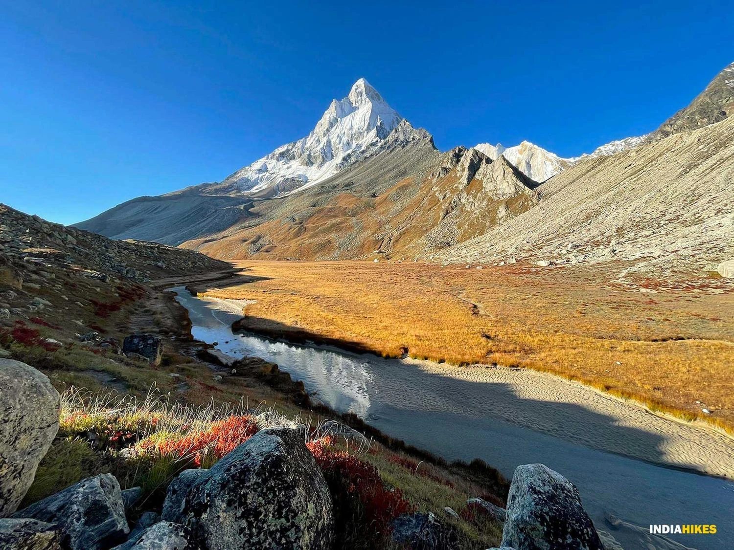
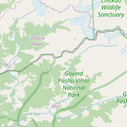
Remote Landscapes and Ecological Diversity
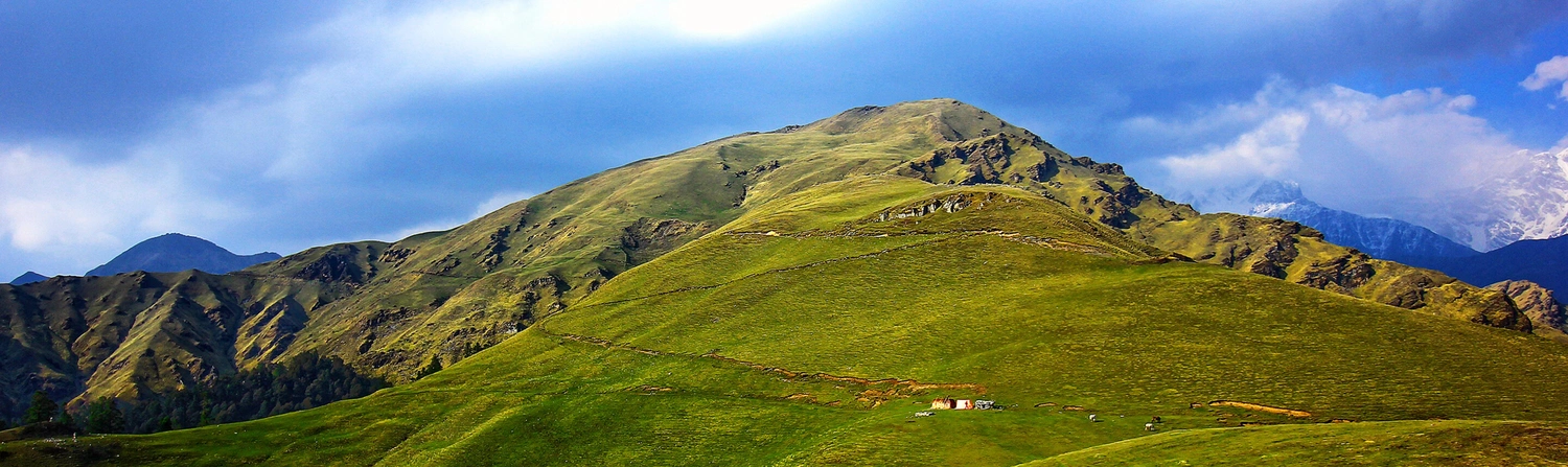
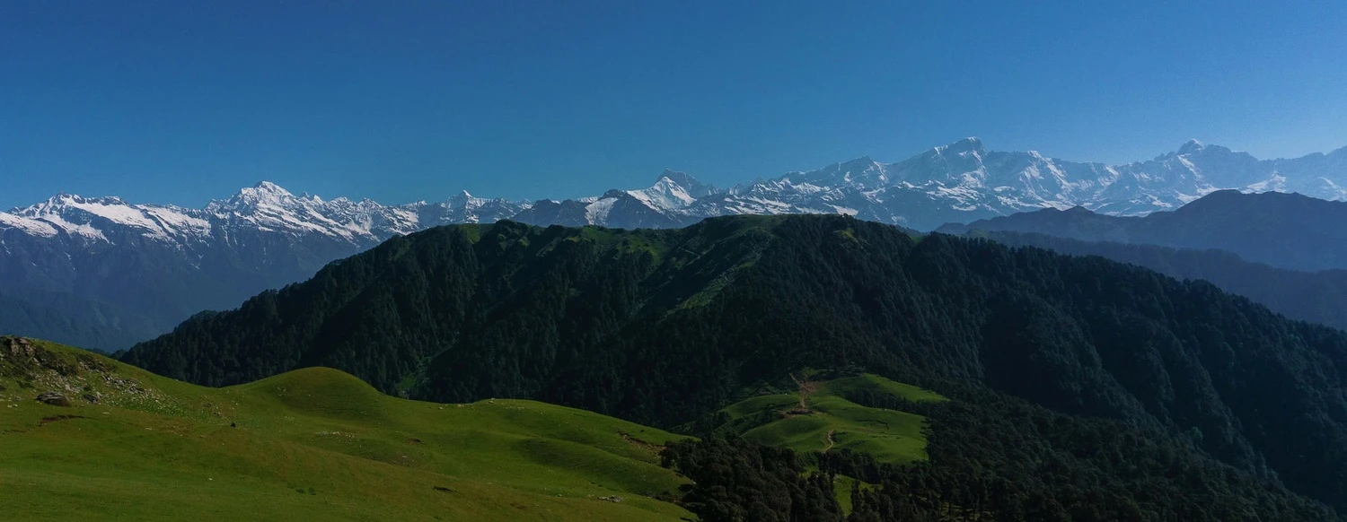
The Auden’s Col route passes through some of the least explored trekking terrain in Uttarakhand. From barren glacial basins to high-altitude grasslands, the ecological diversity is striking. In lower sections of the Kedarnath valley, trekkers encounter patches of forest, wildflowers, and grazing grounds used by shepherd communities during summer. Wildlife sightings are rare but possible, especially in remote valleys. The sense of remoteness and scale is a defining aspect of this trek, setting it apart from more accessible Himalayan routes.
Best Time to Attempt and Expedition Planning
The optimal window for the Auden’s Col Trek is limited to late spring and early autumn. During these months, snow conditions are relatively stable and weather patterns more predictable. Monsoon season increases the risk of avalanches, landslides, and swollen rivers, making the route unsafe. Winter conditions bring deep snow accumulation and extreme cold, effectively closing the pass. Given the technical demands and remoteness, trekkers usually undertake this expedition with experienced guides and proper logistical support, including high-altitude camping equipment and emergency planning.
Difficulty Level and Trekking Profile
The Auden’s Col Trek is classified as difficult to extreme. It is not suitable for beginners and requires prior experience in high-altitude trekking or mountaineering. Long expedition duration, technical glacier travel, and exposure to harsh weather make physical and mental preparation essential. However, for seasoned trekkers seeking a challenging Himalayan traverse, the journey offers unmatched rewards. The combination of sacred river origins, towering peaks, remote valleys, and a dramatic high-altitude pass makes Auden’s Col one of the most memorable trekking expeditions in India.