


Kalindi Khal Trek: India’s Ultimate High-Altitude Himalayan Expedition
The Kalindi Khal Trek is widely regarded as one of the most demanding and prestigious trekking expeditions in the Indian Himalayas. Connecting the sacred pilgrimage towns of Gangotri and Badrinath, this legendary route crosses the formidable Kalindi Khal Pass at an altitude of approximately 5,950 meters. Unlike conventional Himalayan treks that follow established mountain trails, Kalindi Khal involves traversing massive glaciers, navigating moraine fields, crossing snow-covered passes, and camping in some of the most remote alpine environments in the country. The expedition passes through the heart of the Garhwal Himalayas, offering close-up views of iconic peaks such as Shivling, Bhagirathi I, II and III, Meru, Satopanth, Chandra Parbat, and Vasuki Parbat. For experienced trekkers and mountaineers seeking a true wilderness crossing, few routes in India match the scale and challenge of Kalindi Khal. The trek demands exceptional fitness, previous high-altitude experience, and proper acclimatization, but rewards participants with an unforgettable journey through one of the most spectacular glacial landscapes in the Himalayas.
From Gangotri to the Source of the Ganges
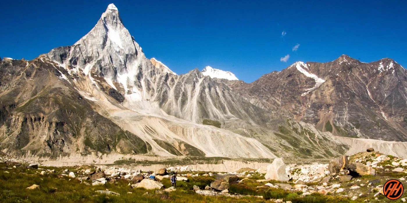
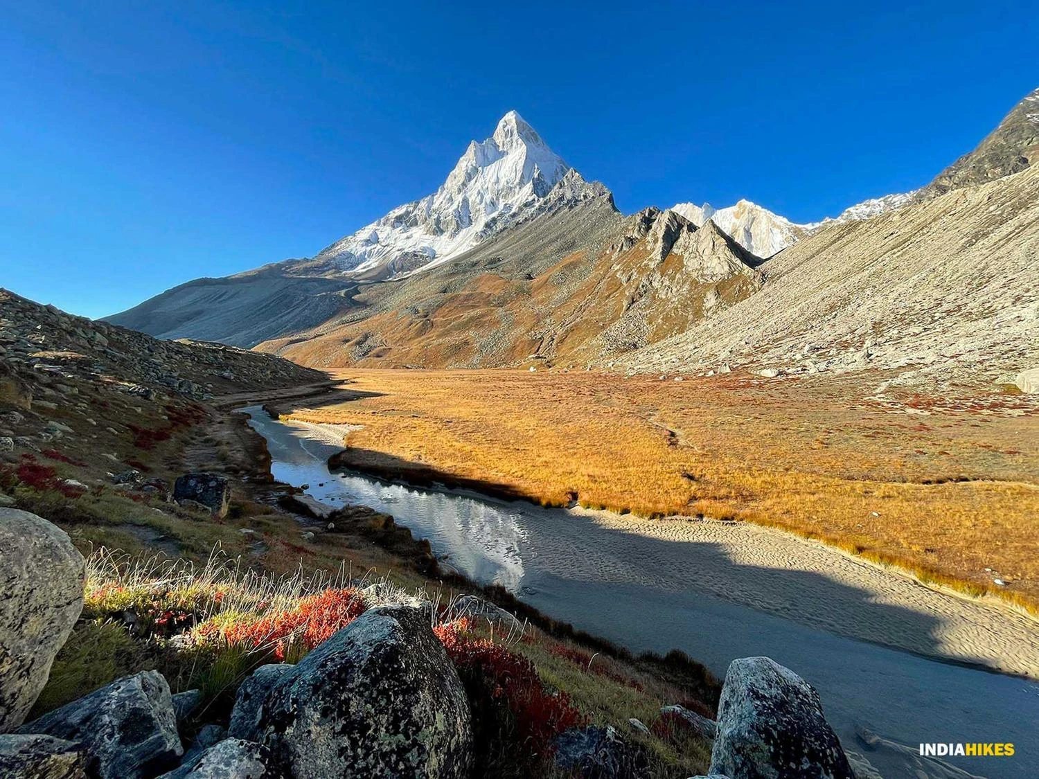
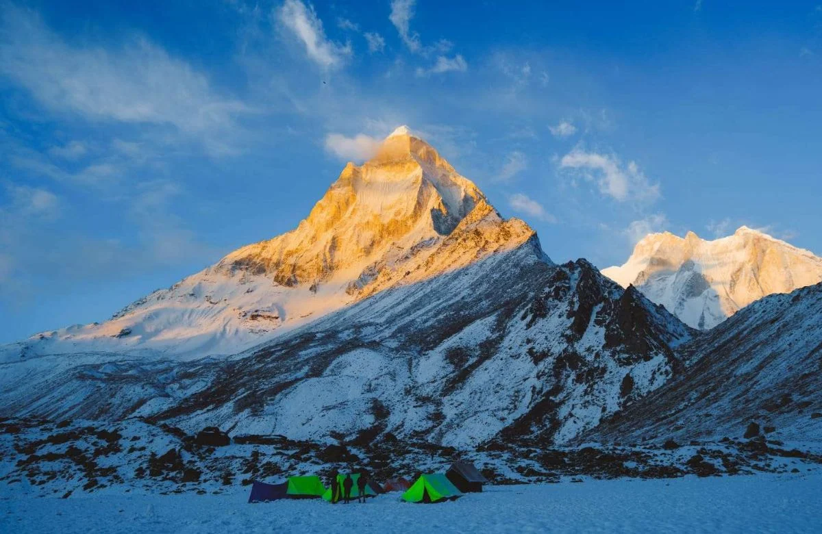
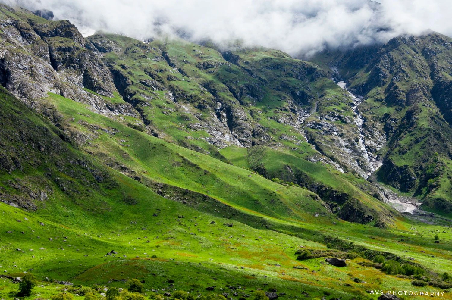
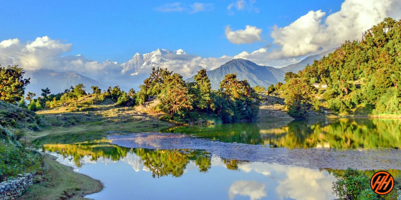
The expedition begins at Gangotri, one of Hinduism’s holiest pilgrimage sites and the gateway to the upper Bhagirathi valley. The initial days serve as acclimatization while trekkers move toward Bhojbasa, Gomukh, and Tapovan. Gomukh, the snout of the Gangotri Glacier, marks the sacred source of the River Ganga and is among the most revered natural landmarks in India. Beyond Gomukh, the landscape changes dramatically. Dense forests disappear, giving way to glacial terrain, rocky moraines, and vast open valleys surrounded by towering granite peaks. Tapovan, located beneath the majestic Shivling Peak, is considered one of the most beautiful alpine meadows in the Himalayas and provides some of the finest mountain scenery found anywhere in Uttarakhand.
Crossing Glaciers and Entering the High Himalayas
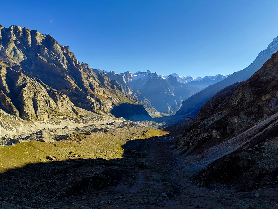
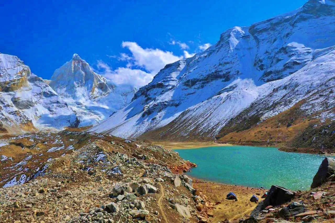
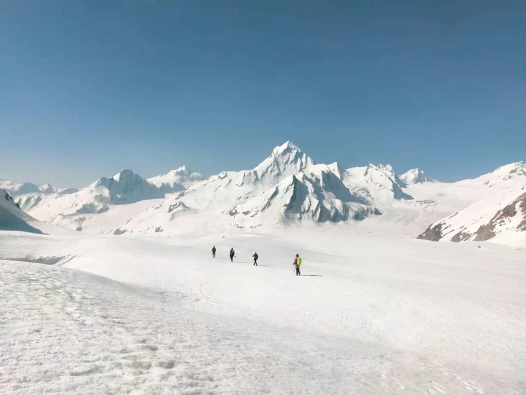
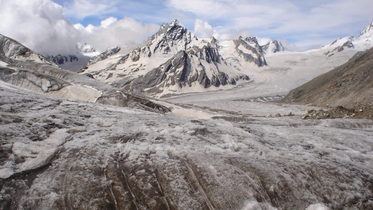
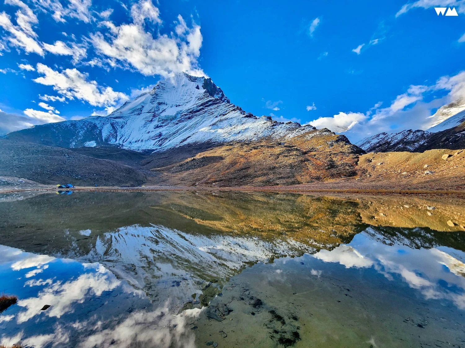
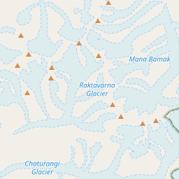
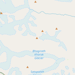
Beyond Nandanvan and Vasuki Tal, trekkers enter a remote world dominated by ice, snow, and rugged mountain terrain. The route traverses sections of the Gangotri Glacier, Chaturangi Glacier, Sweta Glacier, and Kalindi Glacier. Daily progress becomes slower due to moraine fields, crevasses, and constantly changing glacial conditions. Campsites such as Khara Patthar, Sweta Glacier, and Kalindi Base Camp are situated in stark high-altitude environments rarely visited except by expedition teams. Wildlife sightings become scarce at these elevations, but the geological features become increasingly dramatic. Massive ice formations, glacial lakes, and towering Himalayan walls surround the route as trekkers gradually gain altitude toward the pass.
The Kalindi Khal Pass Crossing
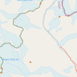
The crossing of Kalindi Khal Pass is the defining challenge of the expedition. At nearly 5,950 meters, it is among the highest trekking passes regularly crossed in India. Summit day begins before sunrise, often requiring movement across frozen snowfields and steep glacial slopes. Weather conditions can change rapidly, and strong winds are common near the pass. Upon reaching the top, trekkers are rewarded with extraordinary views extending across both the Bhagirathi and Alaknanda watersheds. The descent into the Arwa Valley presents an entirely different landscape as the route gradually transitions toward Badrinath. Successfully crossing Kalindi Khal is considered a significant achievement even among seasoned Himalayan trekkers.
Preparation, Best Season, and Trekking Experience
Kalindi Khal is not a beginner-friendly trek and should only be attempted by individuals with prior experience above 5,000 meters. The ideal seasons are June and September when snow conditions are manageable and weather windows are relatively stable. Physical preparation should focus on endurance, cardiovascular fitness, and load-carrying ability. Due to the remoteness of the route, trekkers must be self-sufficient and mentally prepared for extended periods away from settlements. Despite its challenges, Kalindi Khal remains one of the most respected Himalayan expeditions, offering a rare opportunity to travel across glaciers, high mountain passes, and untouched wilderness while connecting two of India's most sacred valleys.