


Panwali Kantha Trek: Endless Alpine Meadows in the Garhwal Himalayas
The Panwali Kantha Trek is one of the most scenic meadow treks in Uttarakhand, offering expansive views of the Garhwal Himalayas and a peaceful trekking experience away from crowded trails. Situated at an altitude of around 3963 meters, Panwali Kantha is not defined by a dramatic summit or glacier, but by its rolling high-altitude grasslands that stretch seemingly without end. Located between the valleys of Kedarnath and Gangotri regions, this trek provides an ideal combination of forest trails, ridge walks, and open alpine terrain. It is a trek where the journey itself becomes the destination, with each day unfolding a new perspective of mountain landscapes.
The Route and the Rhythm of the Trek
The trek typically begins from Ghuttu village, a quiet settlement surrounded by terraced fields and traditional Garhwali homes. From the start, the trail climbs steadily through forested slopes, gradually gaining altitude. The ascent is not abrupt but continuous, allowing trekkers to settle into a steady walking rhythm. Unlike technical treks with exposed rock faces or glacier crossings, Panwali Kantha focuses on long ridge traverses and meadow walks. This structure makes the trek physically demanding yet mentally calming, as the terrain encourages consistent pacing rather than bursts of intense effort.
Forests, Wildlife, and Changing Landscapes
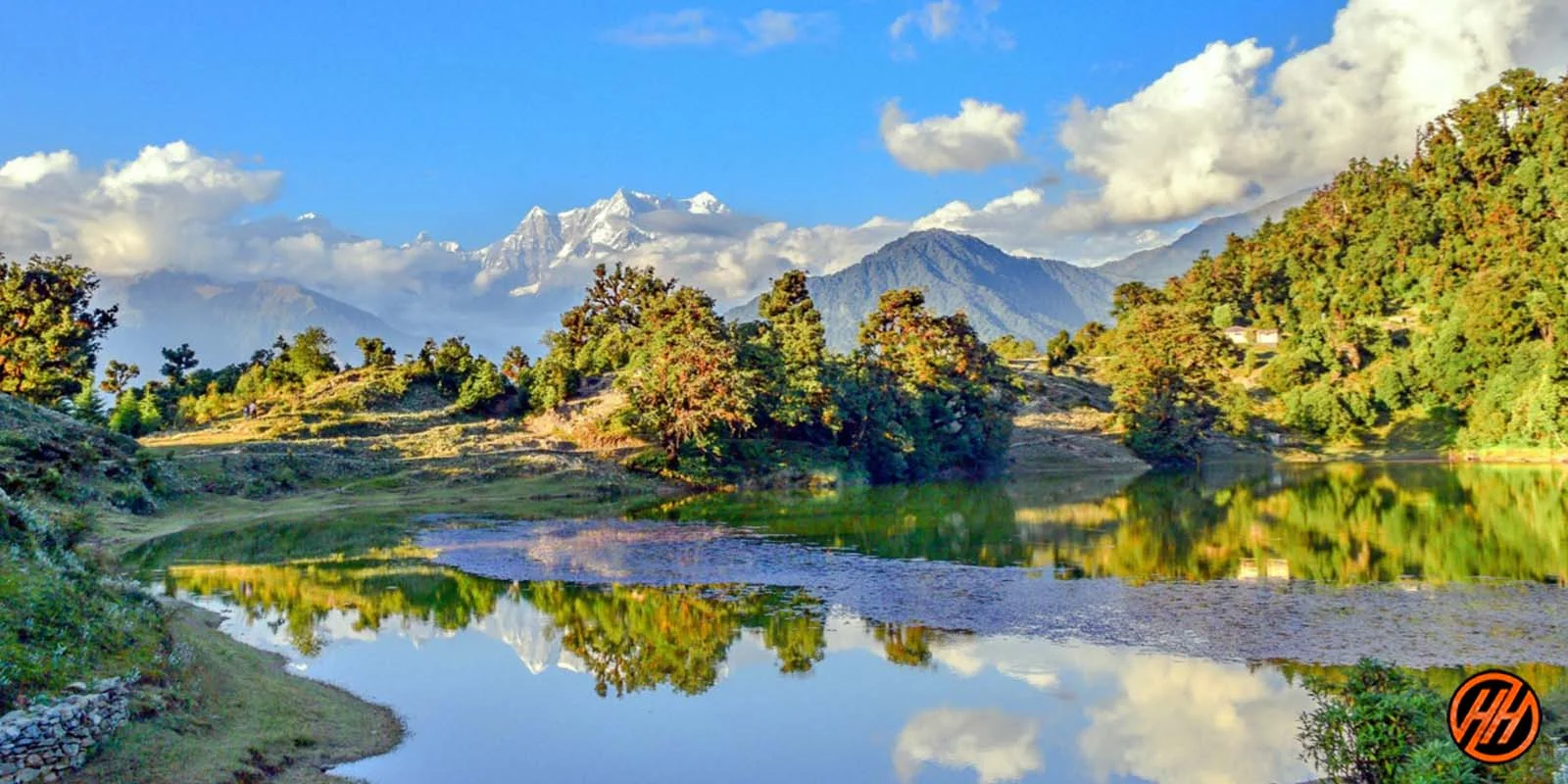
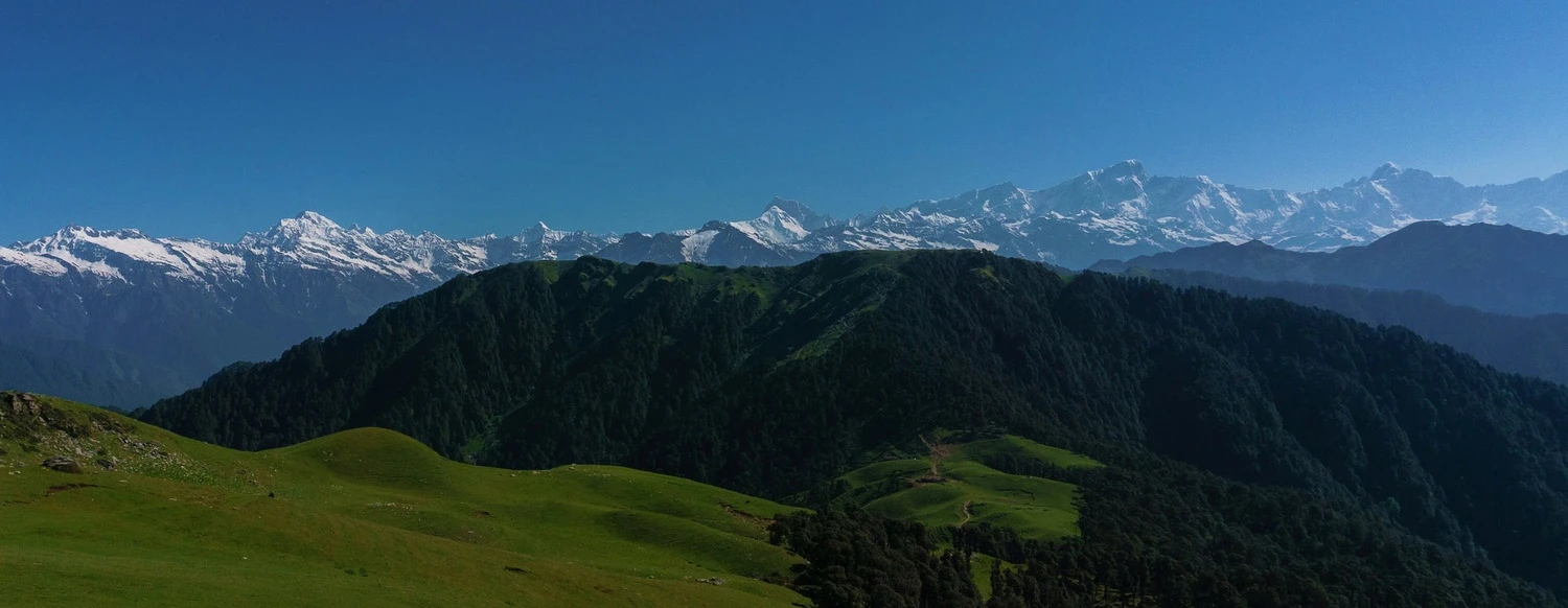
The lower sections of the trek pass through dense forests of oak, pine, and rhododendron. During spring, these forests are vibrant with blooming flowers and bird activity, while autumn offers crisp air and golden foliage. As the trail climbs higher, tree cover gradually recedes, revealing wide grasslands and scattered shrubs. This transition is one of the defining features of the Panwali Kantha Trek. The shift from enclosed forest paths to open ridges creates a strong sense of elevation and space. Wildlife sightings are possible in quieter sections, especially in early morning hours.
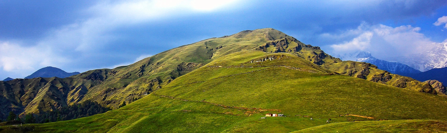
The Meadows of Panwali Kantha
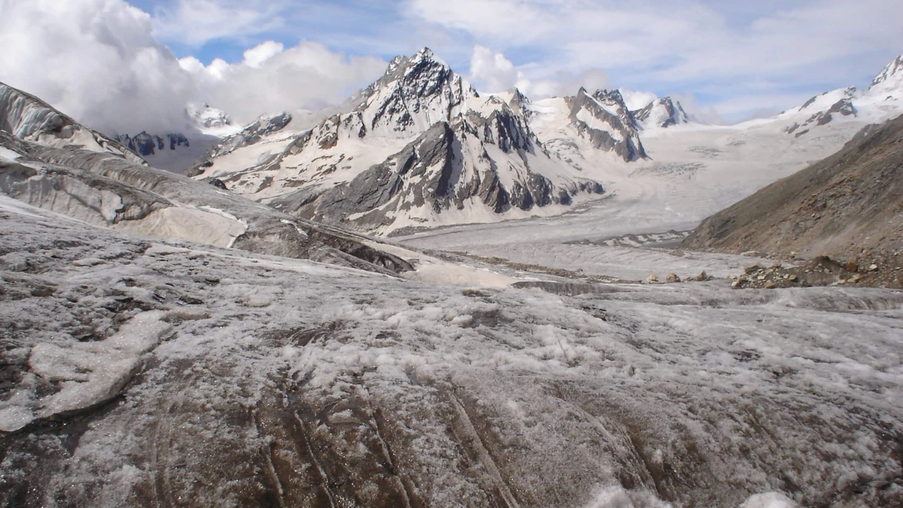
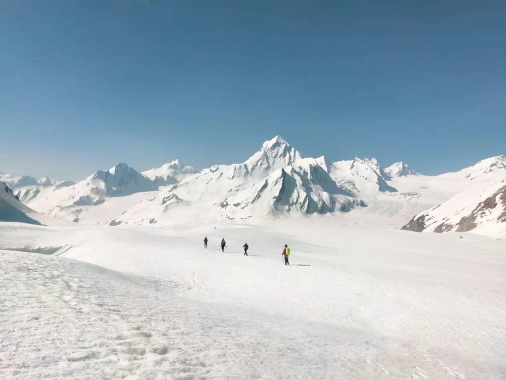
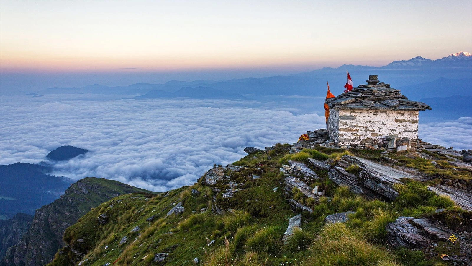
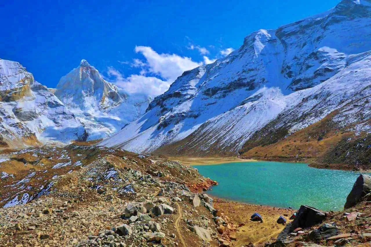
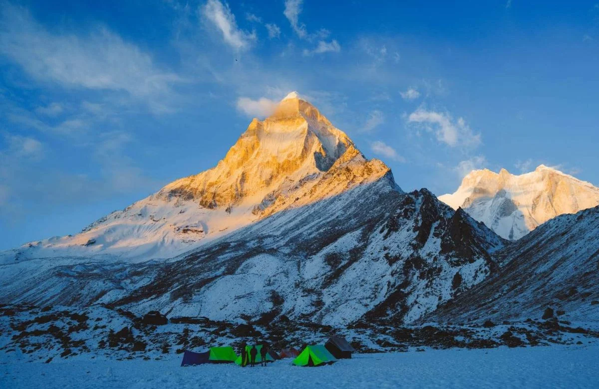
Panwali Kantha itself is a vast alpine plateau rather than a single point. The meadows roll gently across the landscape, dotted with seasonal shepherd camps and wildflowers. From this high ground, trekkers can see panoramic views of peaks such as Kedarnath Dome, Chaukhamba, and Bandarpoonch. The openness of the terrain allows sunlight and wind to dominate the atmosphere, creating constantly changing light conditions. Unlike summit treks that culminate in a brief moment at the top, Panwali Kantha invites extended exploration, photography, and quiet observation of the surrounding ranges.
Weather Patterns and Best Time to Trek
The best seasons for the Panwali Kantha Trek are late spring and autumn. May and June bring mild temperatures and green meadows, while September and October offer clear skies and stable weather. Monsoon months can make forest sections muddy and reduce visibility, though the meadows remain visually striking. Winter transforms the region into a snow-covered landscape, but access becomes more difficult. Even during favorable seasons, wind exposure at higher camps can cause sudden drops in temperature, making proper layering essential.
Difficulty Level and Ideal Trekking Profile
The Panwali Kantha Trek is generally classified as moderate. It does not require technical climbing skills, but the long walking distances and altitude gain demand good stamina. Beginners with preparation can attempt this trek, while experienced trekkers often appreciate it for its solitude and scenic value. This trek is particularly suitable for those who enjoy meadow landscapes and ridge walking rather than glacier or summit challenges. It offers a balanced Himalayan experience that combines physical effort with visual reward.