


Deoriatal Chandrashila Trek: A Himalayan Summit Trek with Unmatched Mountain Views
The Deoriatal Chandrashila Trek is one of the most rewarding short Himalayan treks in Uttarakhand, combining pristine alpine lakes, dense rhododendron forests, panoramic ridgelines, and one of the finest summit viewpoints in India. Situated in the Garhwal Himalayas within the Rudraprayag district, this trek is famous for its accessibility, stunning mountain vistas, and year-round appeal. The trail leads trekkers from the charming village of Sari to the tranquil Deoriatal Lake before continuing through forested paths and high-altitude meadows toward Tungnath, the highest Shiva temple in the world, and finally Chandrashila Peak at approximately 4,000 meters.
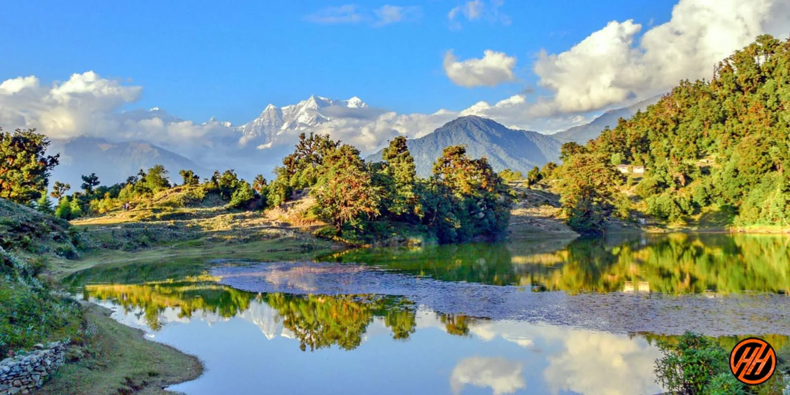
The Enchanting Beauty of Deoriatal Lake
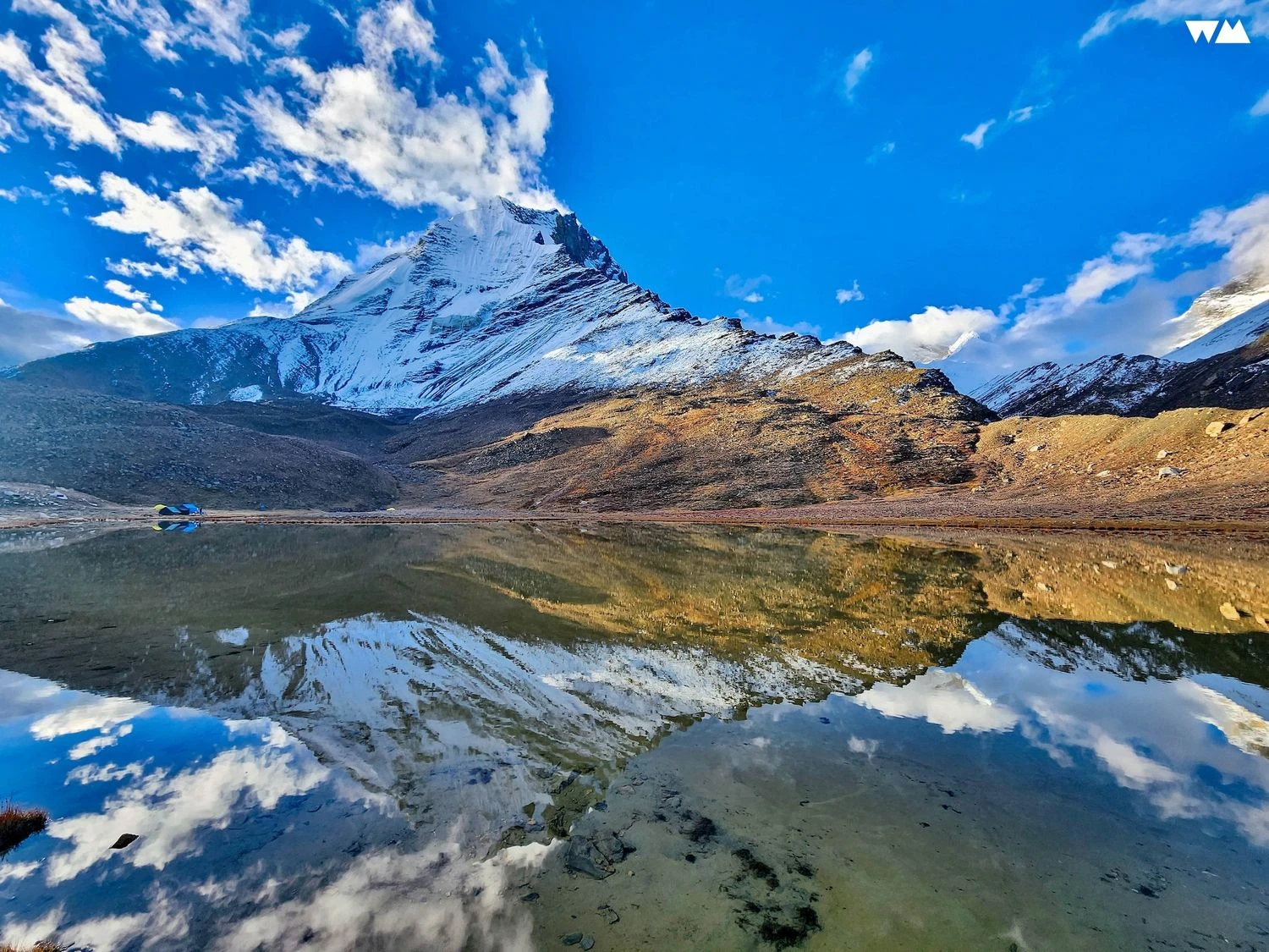
The journey begins at Sari Village, a traditional Himalayan settlement surrounded by terraced fields and forests. A relatively short climb leads to Deoriatal Lake, a crystal-clear alpine lake renowned for reflecting the snow-covered peaks of Chaukhamba on calm mornings. The lake sits amidst dense forests of oak, pine, and rhododendron, creating a peaceful atmosphere that attracts nature lovers, photographers, and birdwatchers alike. During spring, blooming rhododendrons add vibrant shades of red and pink to the landscape, making the area particularly picturesque.
From Forest Trails to Sacred Tungnath
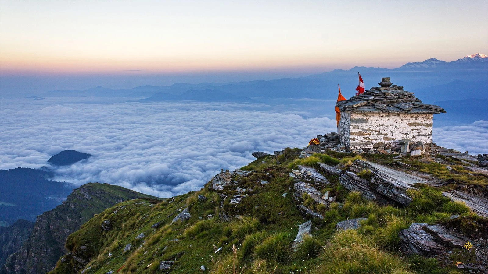
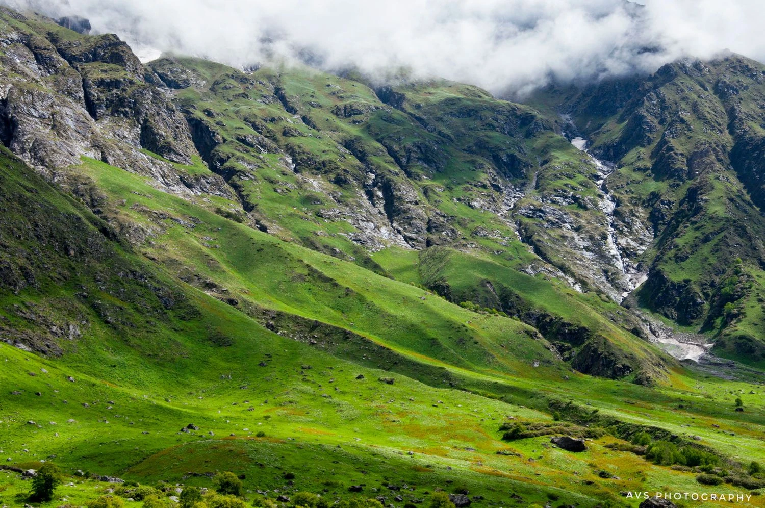
Beyond Deoriatal, the trail traverses beautiful forest sections, open meadows, and mountain ridges. Trekkers gradually gain altitude while enjoying increasingly expansive views of the Garhwal Himalayas. One of the trek's highlights is Tungnath Temple, believed to be more than a thousand years old and revered as the highest Shiva temple in the world. The temple is part of the Panch Kedar pilgrimage circuit and attracts devotees and trekkers alike. The route to Tungnath offers a unique combination of cultural significance and natural beauty rarely found on short Himalayan treks.
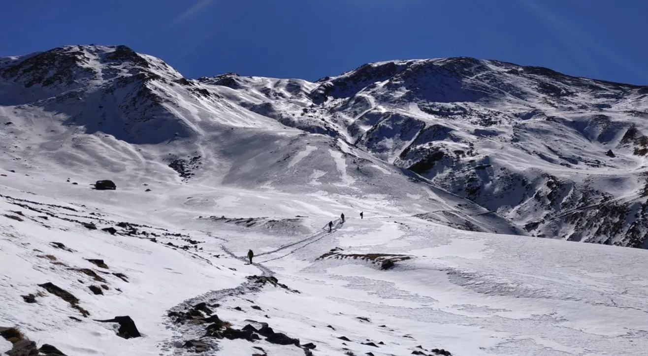
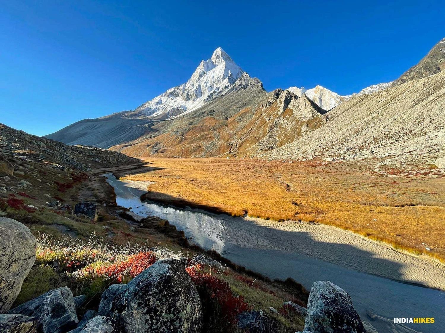
The Spectacular Chandrashila Summit Experience
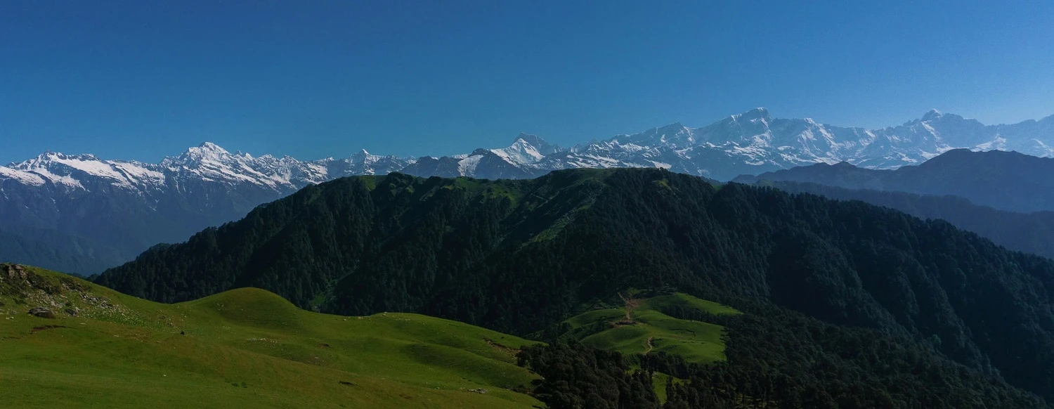
The final ascent to Chandrashila Peak is steep but relatively short. Upon reaching the summit, trekkers are rewarded with one of the most expansive mountain panoramas in the Indian Himalayas. On clear days, peaks such as Nanda Devi, Trishul, Chaukhamba, Kedarnath, Bandarpoonch, and Kedar Dome dominate the horizon. Sunrise from Chandrashila is particularly memorable, as the first rays of sunlight illuminate the snow-covered mountains in golden hues. The summit remains one of the most photographed viewpoints in Uttarakhand due to its exceptional visibility and accessibility.
Why Deoriatal Chandrashila Is Perfect for Every Trekker
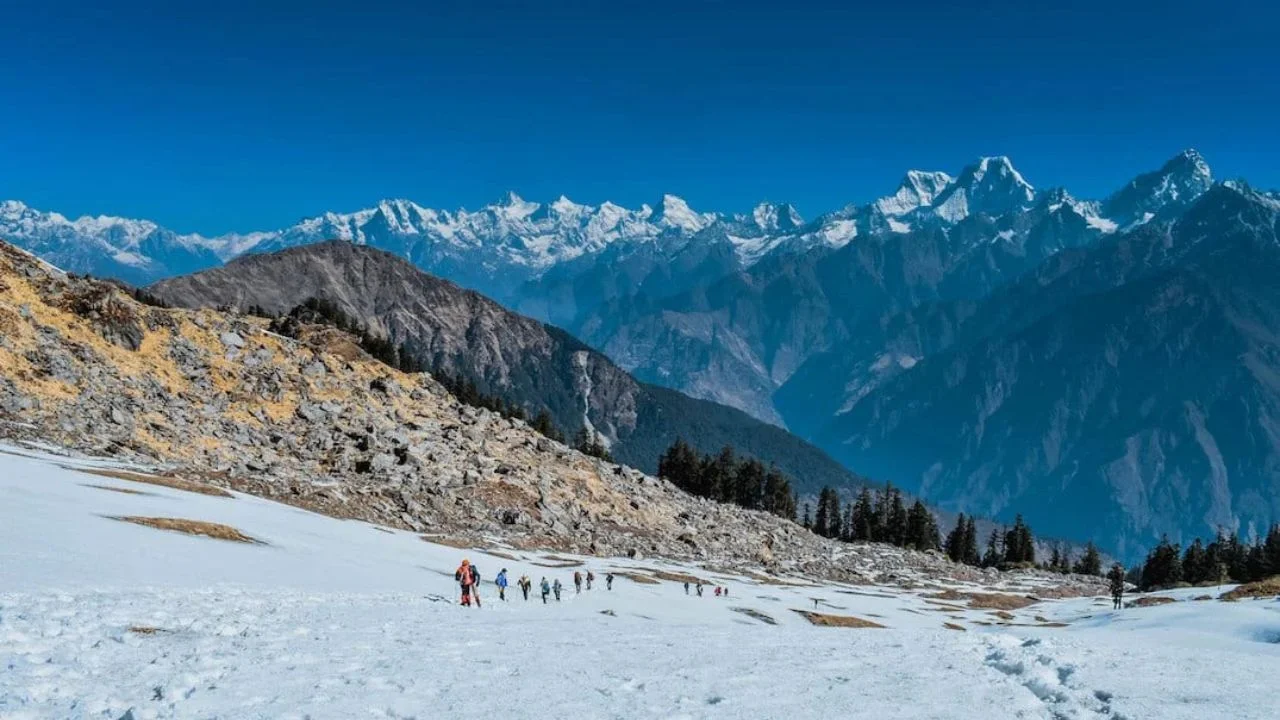
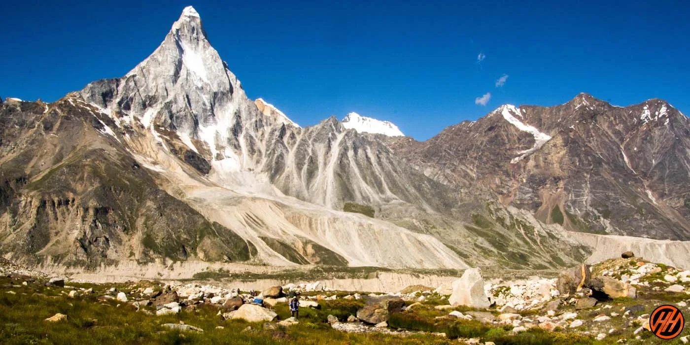
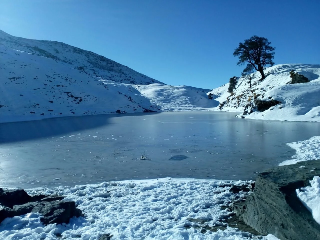
The Deoriatal Chandrashila Trek is often recommended as an ideal Himalayan trek because it delivers exceptional scenery without requiring extensive mountaineering experience. The route offers a rich variety of landscapes within a short duration, including forests, lakes, alpine meadows, temples, ridges, and summit viewpoints. It remains accessible across multiple seasons, with spring offering blooming rhododendrons, summer providing pleasant trekking conditions, autumn delivering crystal-clear mountain views, and winter transforming the trail into a snowy wonderland. Whether you are a beginner looking for your first Himalayan adventure or an experienced trekker seeking stunning mountain views in a compact itinerary, Deoriatal Chandrashila consistently ranks among the finest short treks in India.