


Dayara Bugyal Trek: Vast Alpine Meadows with Endless Himalayan Views
The Dayara Bugyal Trek is widely regarded as one of the most scenic meadow treks in the Indian Himalayas. Located in Uttarakhand, this trek leads to expansive alpine grasslands that stretch across rolling ridges at an altitude of around 3750 meters. The word bugyal refers to high-altitude meadows, and Dayara lives up to its name with wide open landscapes, gentle slopes, and uninterrupted mountain views. Unlike narrow valley treks, Dayara Bugyal feels open and airy, offering a sense of space that is rare in the Himalayas. The trek balances accessibility with visual reward, making it suitable for beginners while still appealing to experienced trekkers who appreciate terrain-driven beauty.
The Route and Gradual Ascent Profile
The trek usually begins from Raithal, a traditional mountain village above Uttarkashi. From the first day, the route introduces trekkers to a steady and manageable ascent. The trail moves gradually upward through village paths, forest tracks, and open clearings. There are no sudden altitude jumps, which allows the body to adapt naturally. This gradual profile is one of the strongest advantages of the Dayara Bugyal Trek, especially for those new to high-altitude trekking. The trail layout also allows frequent breaks and clear camping zones, making daily distances comfortable without rushing the journey.
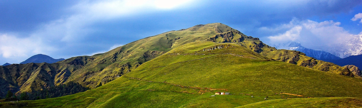
Forests, Meadows, and Landscape Transitions
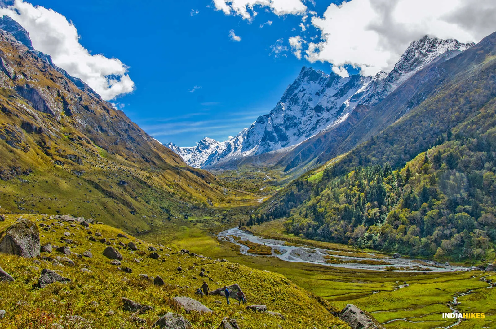
One of the defining features of Dayara Bugyal is the way the landscape changes smoothly as altitude increases. The lower sections of the trek pass through oak and maple forests, where sunlight filters through dense canopies and the air remains cool. As the trail climbs higher, the forest thins and gives way to open grassy slopes. These meadows expand gradually, eventually forming vast rolling grasslands that seem to stretch endlessly. During winter, the meadows are covered in snow, creating a clean and minimal landscape. In spring and early summer, the grasslands turn green and dotted with small alpine flowers.
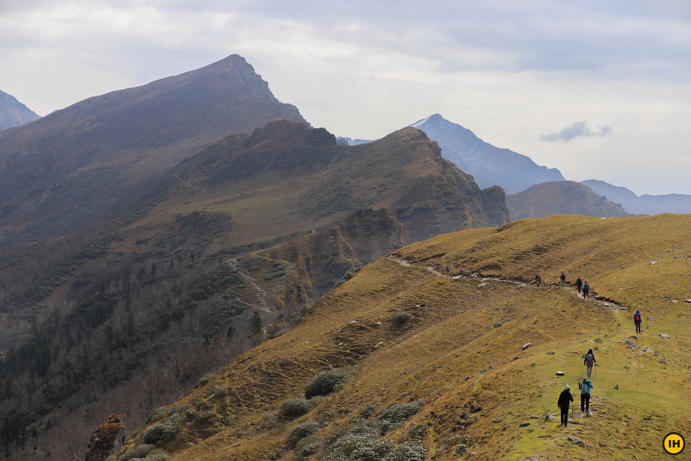
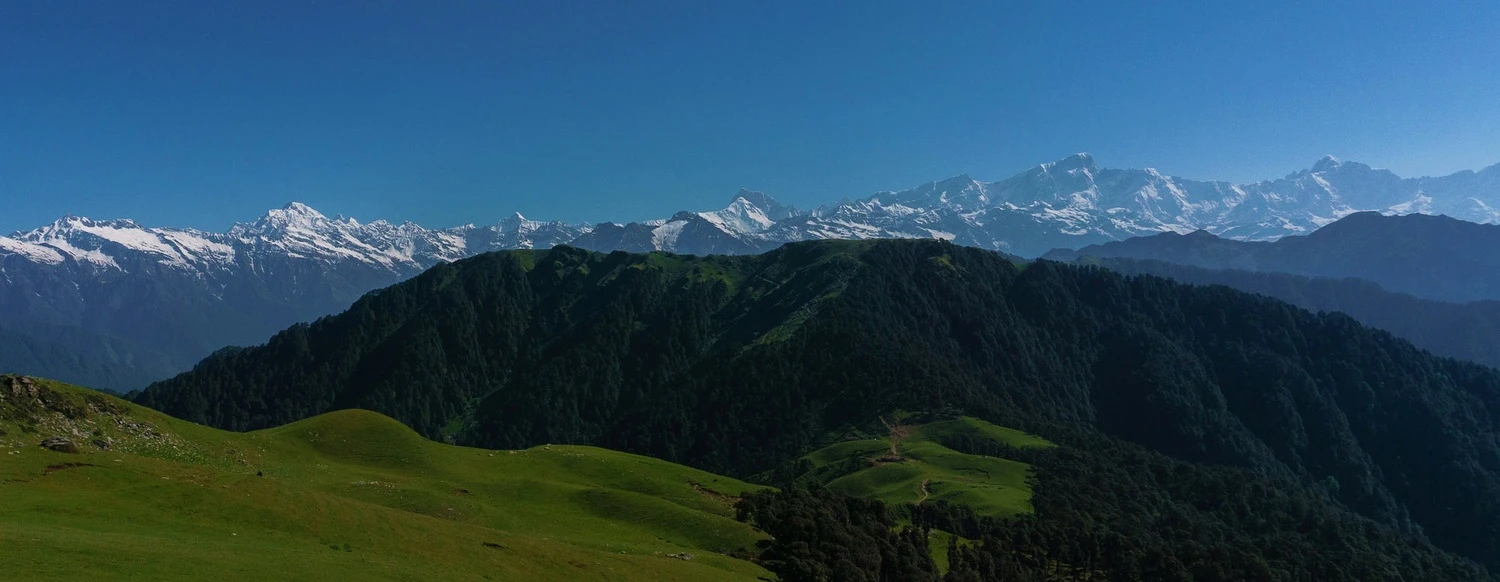
Summit Ridge and Himalayan Views
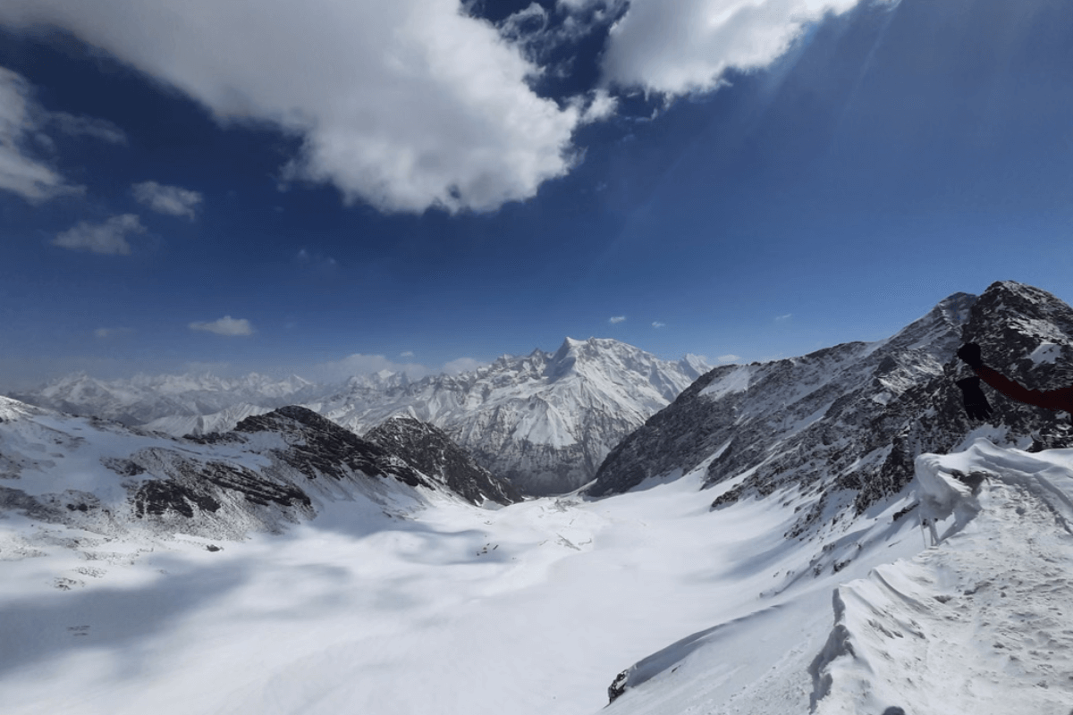
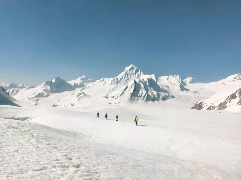
The highest point of the Dayara Bugyal Trek offers panoramic views that rival many longer treks. From the upper ridges, trekkers can see prominent Himalayan peaks such as Bandarpoonch, Kala Nag, Srikanth, and Draupadi Ka Danda. The openness of the meadow allows views in multiple directions, rather than focusing on a single peak. Sunrise and sunset are particularly striking here, as the changing light moves across snow-clad mountains and wide grasslands. Unlike summit treks that end at a narrow top, Dayara offers space to walk, sit, and absorb the scenery without crowding.
Weather Conditions and Best Time to Trek
Dayara Bugyal is a year-round trek, with each season offering a distinct experience. Winter months from December to March are popular for snow trekking, with consistent snow cover across the meadows. This period offers clean trails and dramatic contrast between white landscapes and dark forests. Spring brings milder temperatures and clearer skies, while April and May showcase fresh greenery. Post-monsoon months like September and October offer crisp air and stable weather, though grasslands may appear drier. Weather can change quickly at higher altitudes, so layered clothing and preparedness are essential regardless of season.
Difficulty Level and Who the Trek Is Best Suited For
The Dayara Bugyal Trek is classified as easy to moderate. The trail does not involve technical sections or exposed ridges, making it suitable for beginners with basic fitness. Daily walking hours are manageable, and the gradual ascent reduces altitude-related risks. For experienced trekkers, Dayara offers a relaxed and visually rich experience, especially during winter when snow transforms the terrain. The trek is ideal for those seeking wide landscapes, gentle trails, and classic Himalayan scenery without extreme physical demands.