


Gaumukh Tapovan Trek: Journey to the Source of the Ganga Beneath Mount Shivling
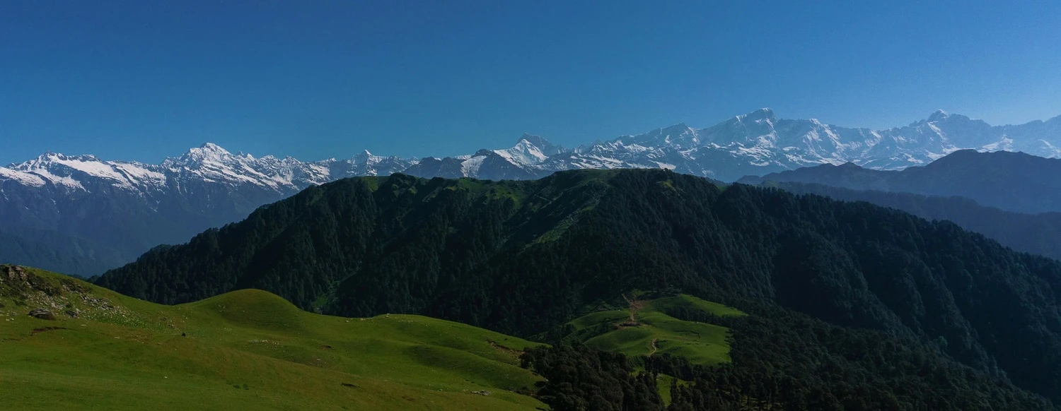
The Gaumukh Tapovan Trek is one of the most iconic and spiritually significant treks in the Indian Himalayas. Situated within Gangotri National Park in Uttarakhand, this extraordinary journey takes trekkers to Gaumukh, the snout of the Gangotri Glacier and the traditional source of the sacred River Ganga, before ascending to the breathtaking alpine meadows of Tapovan. Combining mythology, glacial landscapes, high-altitude adventure, and some of the finest mountain views in India, the trek offers a unique experience that appeals equally to trekkers, photographers, mountaineers, and pilgrims. Throughout the route, trekkers are accompanied by magnificent views of towering Himalayan peaks including Shivling, Bhagirathi I, II and III, Meru, Sudarshan, and Thelu. Unlike many treks where the destination is the sole attraction, every stage of the Gaumukh Tapovan Trek is filled with dramatic scenery, making it one of the most rewarding high-altitude journeys in Uttarakhand.
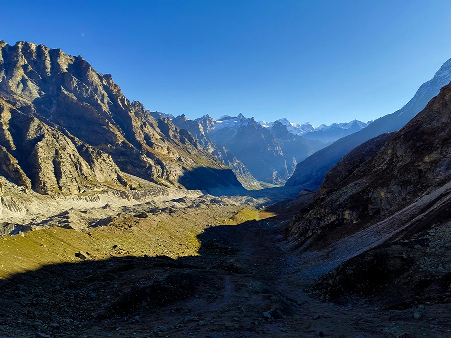
Following the Sacred Bhagirathi Valley
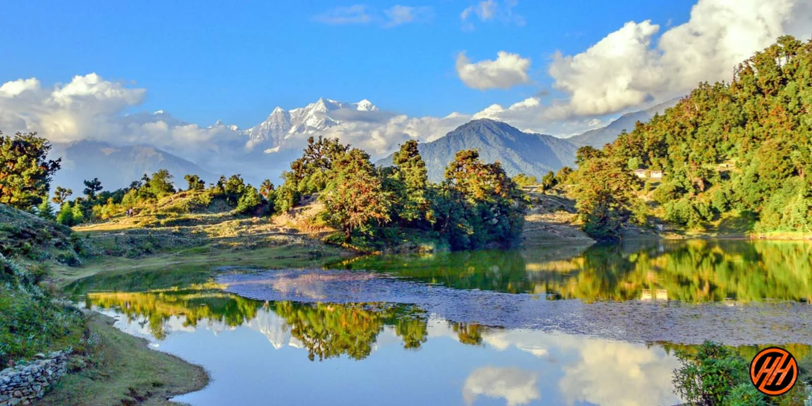
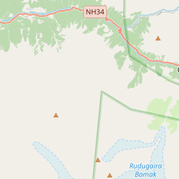
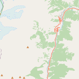
The trek begins from Gangotri, one of the holiest pilgrimage towns in India and one of the Char Dham shrines. From here, the trail follows the Bhagirathi River through rugged mountain terrain and sparse high-altitude forests. The route passes Chirbasa and Bhojbasa, both named after the chir pine and bhojpatra trees that once flourished in the region. As trekkers gain altitude, the landscape becomes increasingly dramatic, with steep valley walls, glacial streams, and snow-covered peaks dominating the horizon. The constant presence of the Bhagirathi River adds both beauty and spiritual significance to the journey.
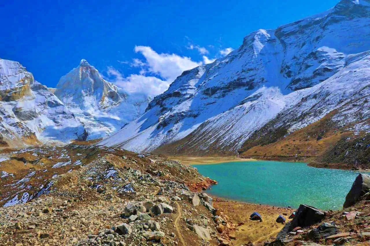
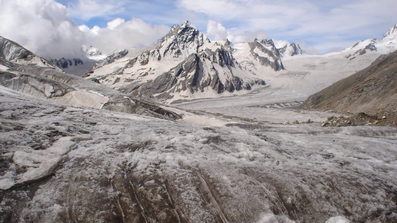
Gaumukh and the Gangotri Glacier
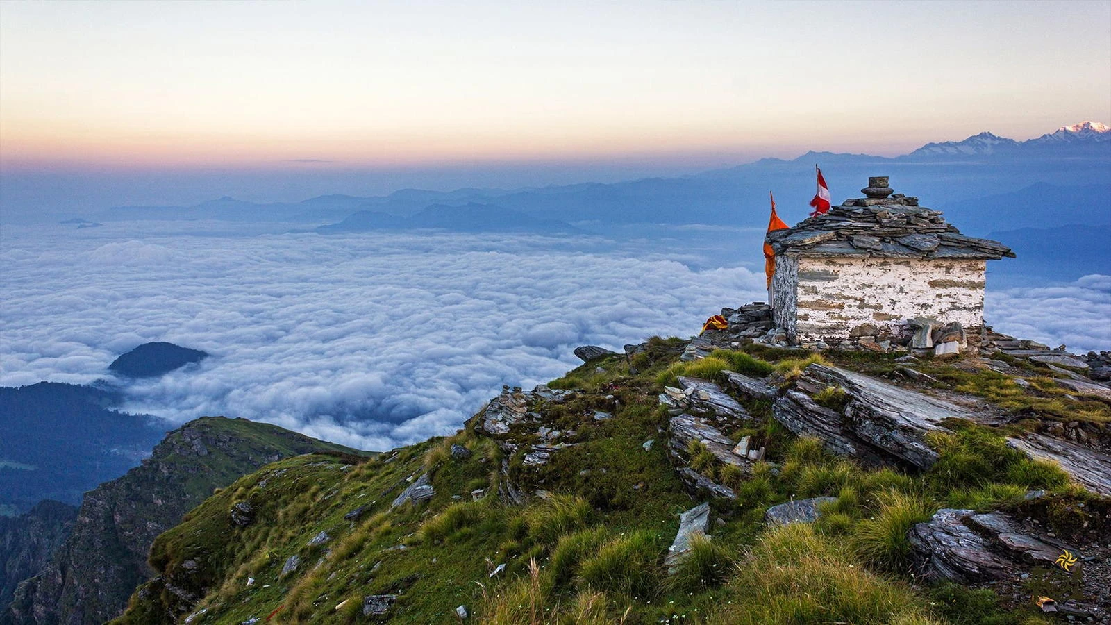
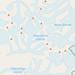
One of the highlights of the trek is reaching Gaumukh, the massive glacier snout from which the Bhagirathi River emerges. The name Gaumukh translates to "cow's mouth," referring to the shape historically associated with the glacier terminus. Standing before the immense Gangotri Glacier is a humbling experience. The glacier stretches deep into the Himalayan interior and serves as one of India's most important freshwater sources. The area is revered by pilgrims who believe that bathing in the icy waters near Gaumukh purifies the soul. For trekkers, it marks the transition from a scenic valley walk to a more adventurous alpine expedition.
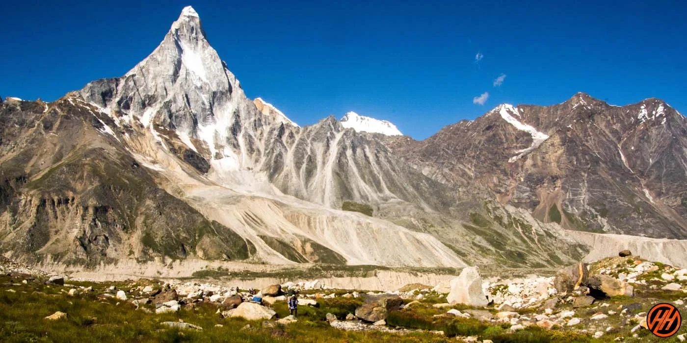
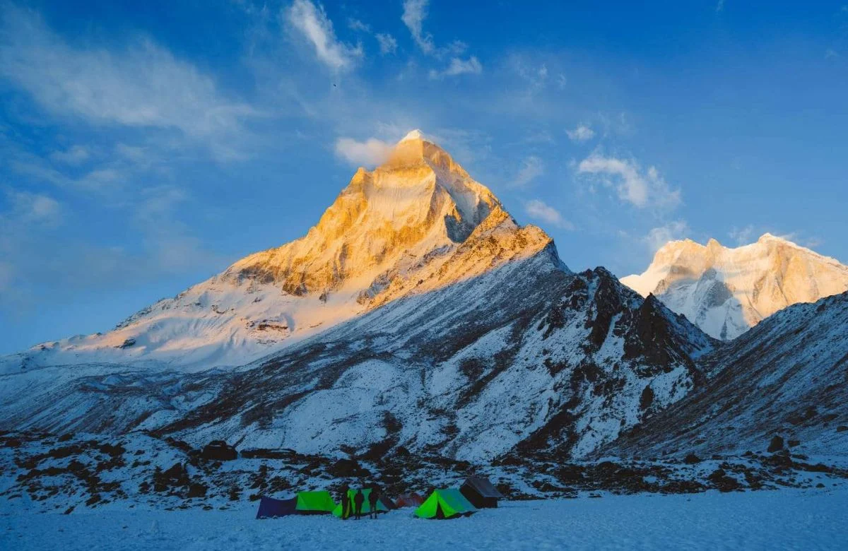
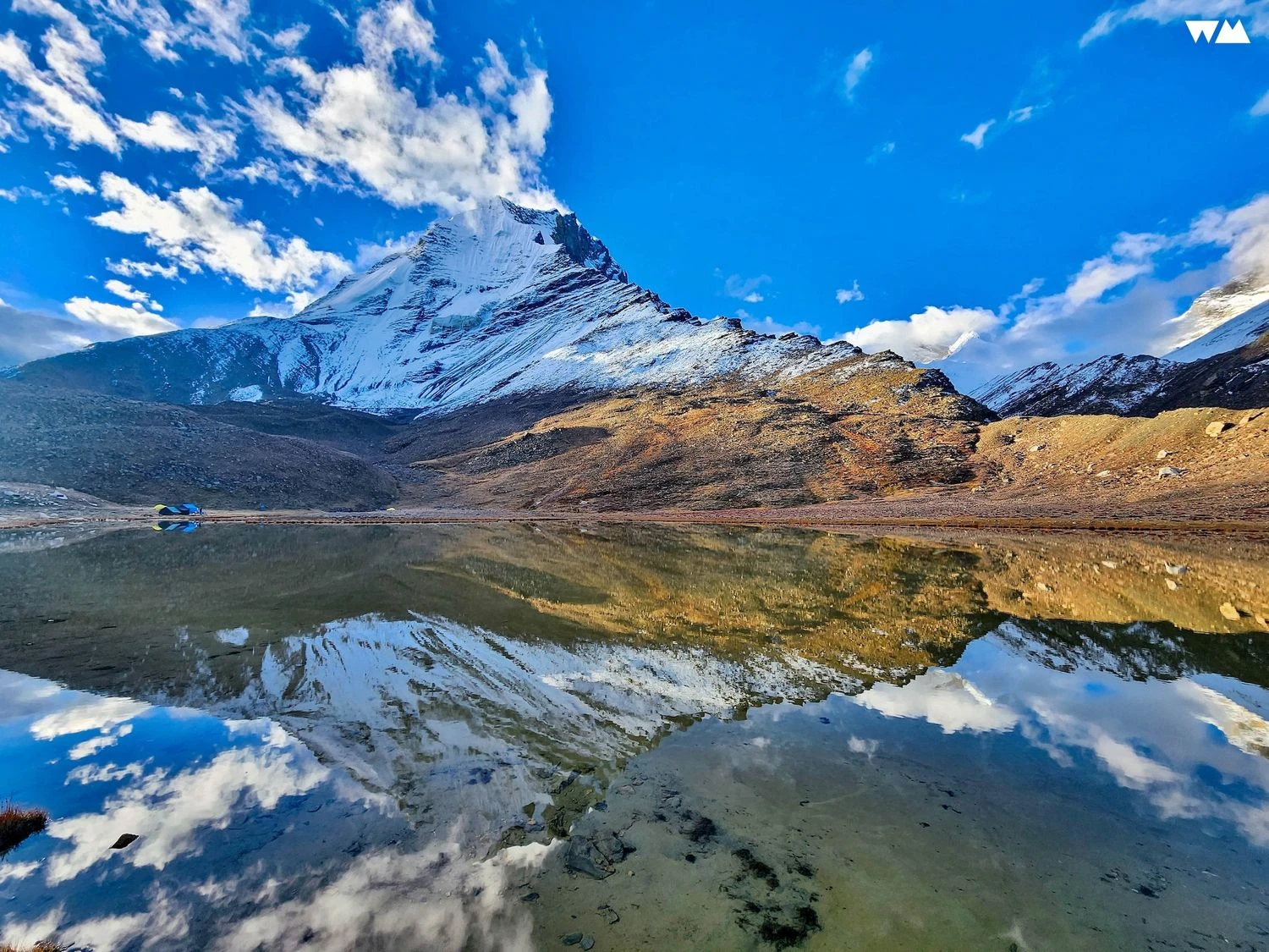
Tapovan and the Majesty of Mount Shivling
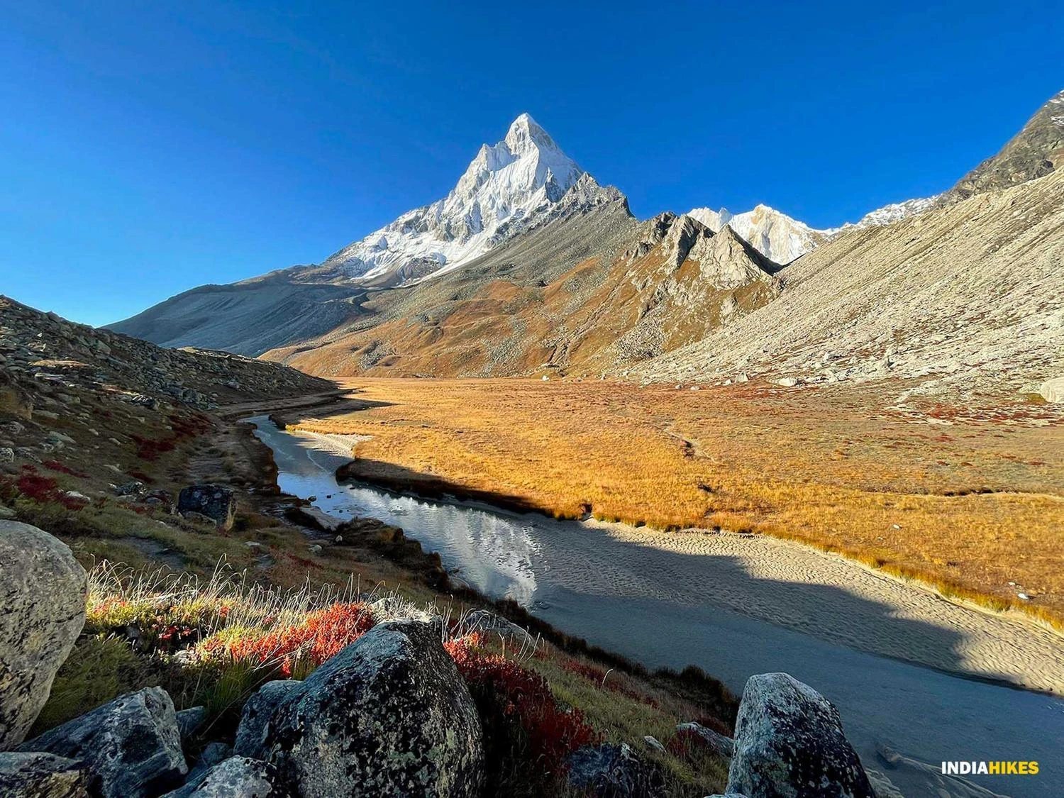
Beyond Gaumukh, the trail becomes more challenging as trekkers cross sections of the Gangotri Glacier before ascending steeply to Tapovan. This vast alpine meadow is often considered one of the most beautiful high-altitude campsites in the Himalayas. The meadow sits directly beneath Mount Shivling, whose near-perfect pyramid shape has earned it comparisons to the Matterhorn. Tapovan is also a base camp for numerous mountaineering expeditions. The area features pristine streams, wildflowers during summer, and uninterrupted views of several major Himalayan peaks. Watching sunrise and sunset over Shivling from Tapovan is an experience many trekkers describe as the highlight of their Himalayan journeys.
Best Time to Visit and Trek Preparation
The best time to undertake the Gaumukh Tapovan Trek is between May and June and again from September to October. During these months, trails remain accessible and weather conditions are relatively stable. The trek is graded moderate to difficult due to its altitude, glacier crossings, and steep ascent to Tapovan. Trekkers should prepare with cardiovascular training and prior hiking experience. Warm clothing, quality trekking shoes, sun protection, and proper hydration are essential. Because the trek lies within Gangotri National Park, permits are mandatory and daily entry numbers are regulated. For those seeking a combination of spiritual significance, glacial landscapes, and world-class mountain scenery, the Gaumukh Tapovan Trek remains one of the finest Himalayan adventures in India.