


Lamkhaga Pass Trek: One of the Toughest Himalayan Crossovers
The Lamkhaga Pass Trek is among the most challenging and remote high-altitude treks in India. Connecting the Harshil region of Uttarakhand with the Baspa Valley of Himachal Pradesh, this historic crossover route once served as a trade passage between Garhwal and Kinnaur. At an altitude of approximately 5282 meters, Lamkhaga Pass is not just a physical barrier but a true test of endurance, navigation, and acclimatization. This trek is defined by long glacier walks, exposed moraines, snowfields, and vast, empty valleys that feel untouched by time. It is a route meant for seasoned trekkers who seek raw terrain rather than comfort or convenience.
The Route and Historical Significance
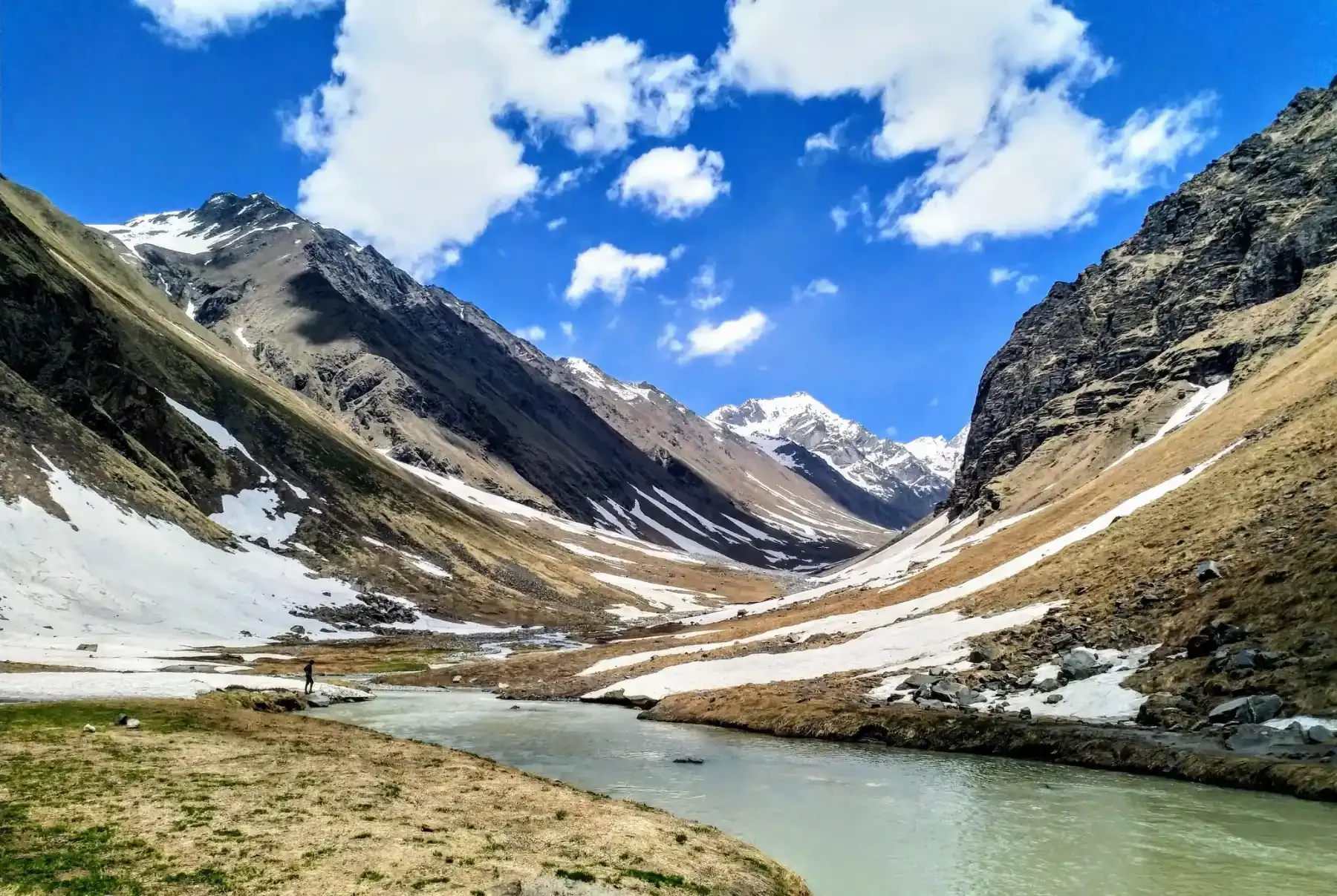
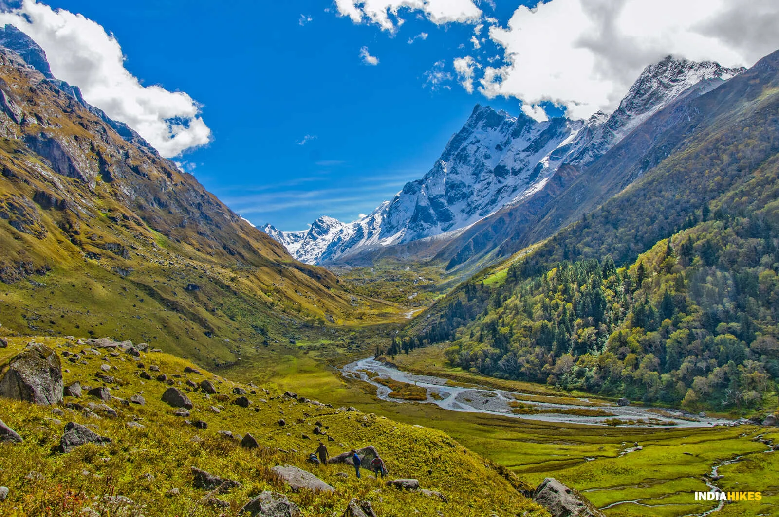
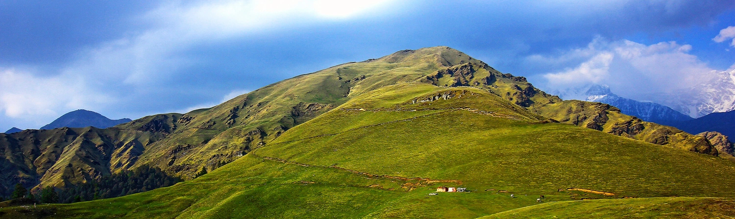
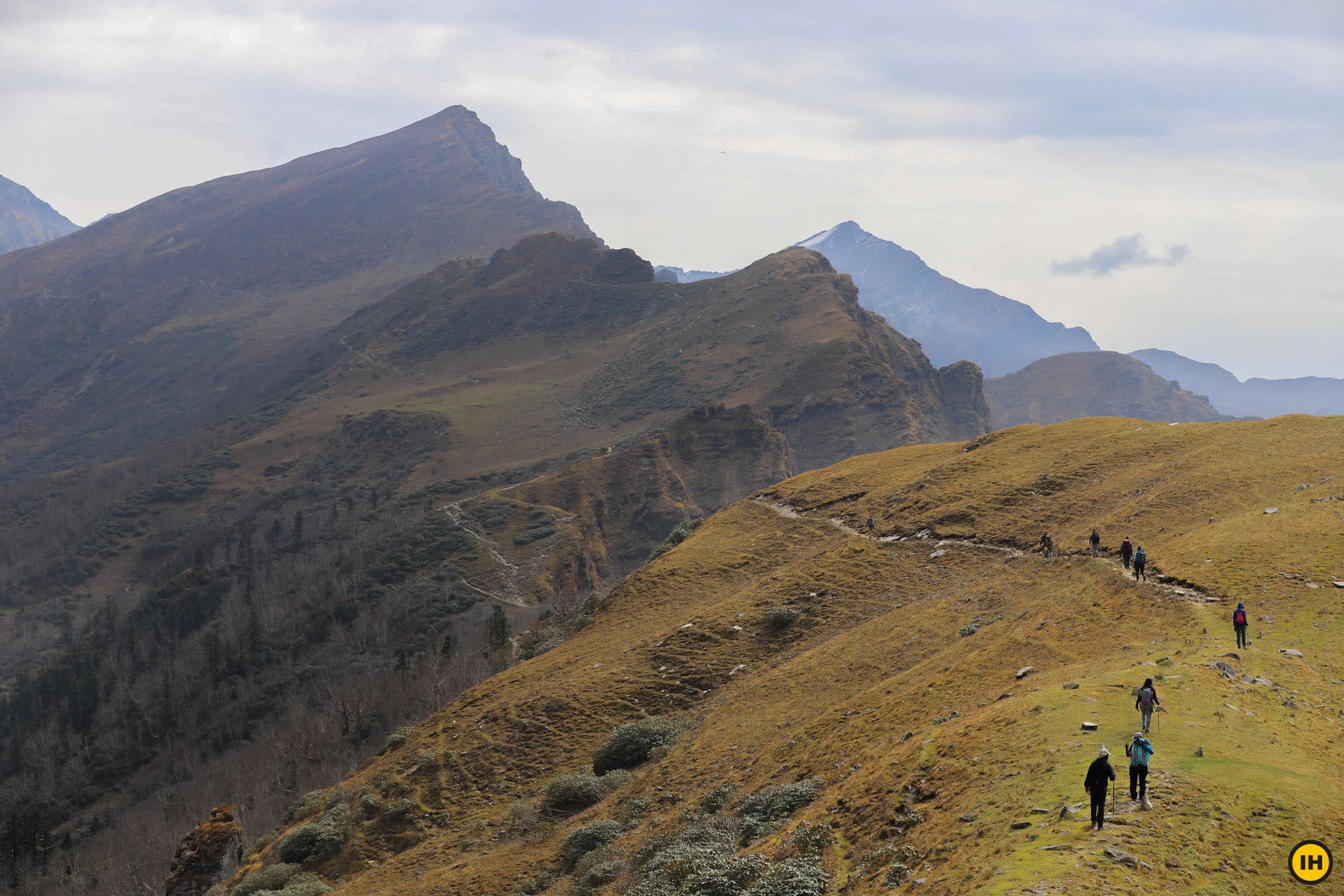
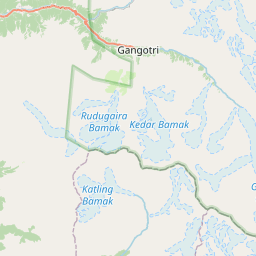
The trek typically begins from Harsil, a quiet village on the banks of the Bhagirathi River. From here, the trail follows the Jalandhari Gad valley, gradually leaving behind signs of habitation. Historically, shepherds and traders used Lamkhaga Pass to move livestock and goods between valleys before modern roads existed. Even today, remnants of old shelters and grazing grounds can be found along the route. The crossover nature of the trek means the landscape, climate, and vegetation change dramatically once the pass is crossed, reinforcing the sense of having traveled between two distinct Himalayan worlds.
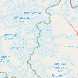
Terrain, Glaciers, and Navigation Challenges
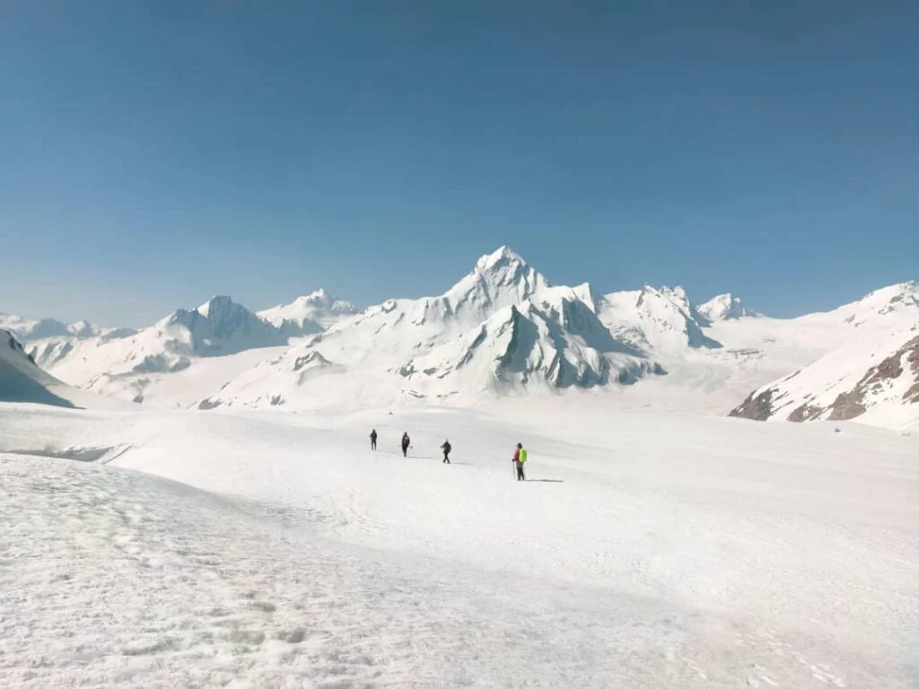
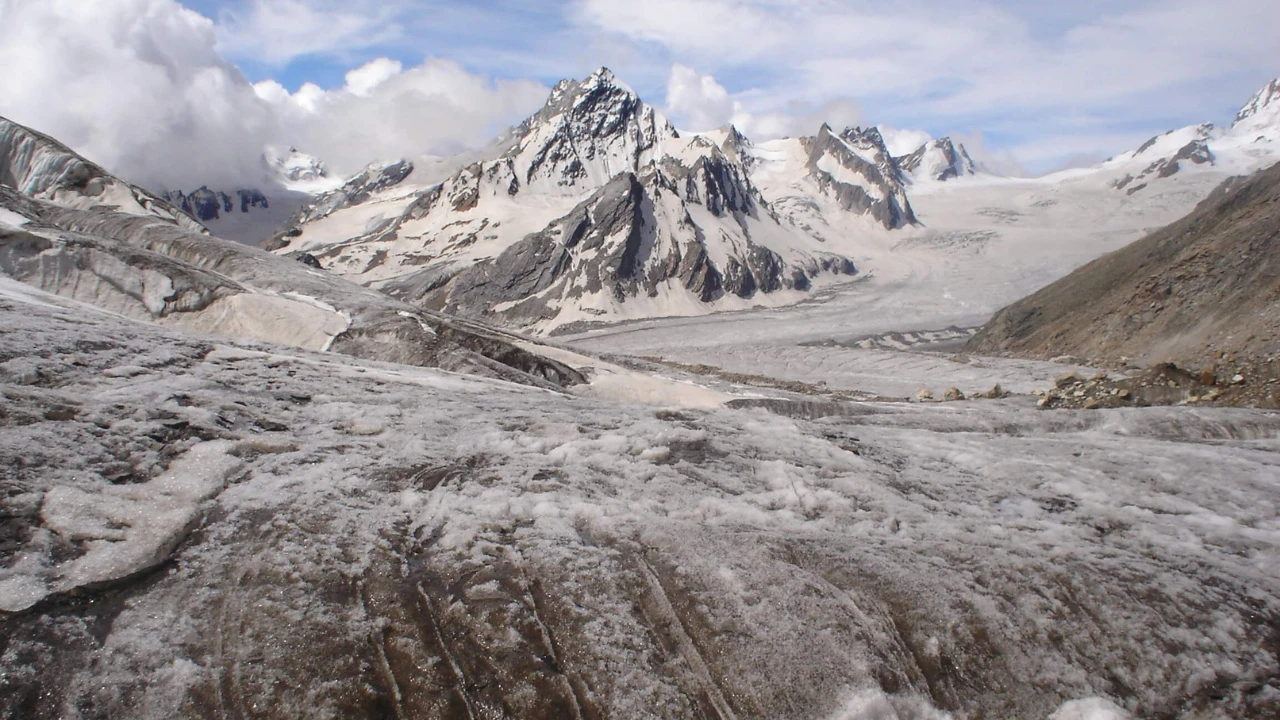
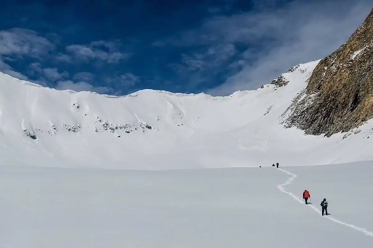
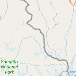
Lamkhaga Pass is known for its relentless terrain. Forests disappear early in the trek, replaced by rocky valleys and glacial debris. The route involves traversing the Jalandhari Glacier, navigating crevasses, and walking across snowfields that can stretch for kilometers. Trail markings are minimal, and whiteout conditions are possible even in peak season. Navigation relies heavily on experience, map reading, and local knowledge. River crossings, loose moraines, and steep ascents make every day physically demanding, with little margin for error.
High-Altitude Environment and the Pass Crossing
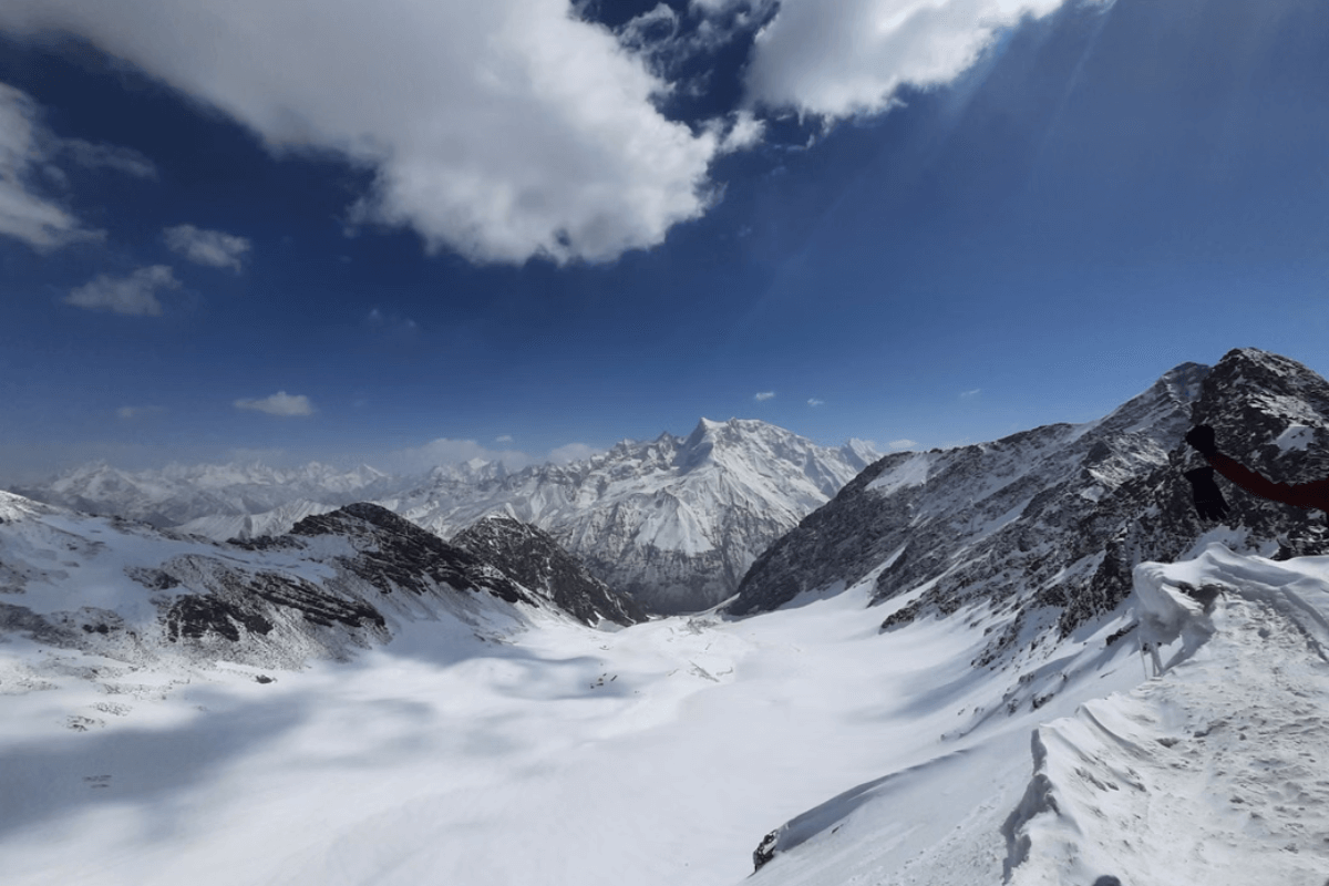
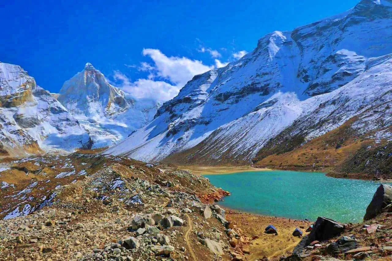
The approach to Lamkhaga Pass is gradual but unforgiving. Camps are established at progressively higher altitudes to allow acclimatization, yet altitude-related stress is unavoidable. The final ascent to the pass involves snow and ice, often requiring early morning starts when conditions are stable. Standing on Lamkhaga Pass offers a stark, expansive view of icefields and distant peaks rather than a dramatic summit marker. The descent into the Baspa Valley is equally technical, demanding careful movement across snow and rock before the trail eases into lower, greener terrain.
Weather Conditions and Best Time to Attempt
The trekking window for Lamkhaga Pass is short due to extreme altitude and weather sensitivity. June to September offers the most stable conditions, though snow persists on the pass throughout the season. Early summer brings heavier snow, while late summer offers clearer routes but colder nights. Sudden storms, high winds, and rapid temperature drops are common. Proper weather assessment and flexibility in itinerary are essential, as delays are often unavoidable in such remote terrain.
Difficulty Level and Who This Trek Is For
Lamkhaga Pass is classified as very difficult and is strictly for experienced trekkers with prior high-altitude and glacier travel experience. This trek demands excellent physical fitness, mental resilience, and comfort with isolation. There are no easy exit points, limited communication, and no permanent shelters. For those prepared for its demands, Lamkhaga Pass offers a rare sense of achievement and immersion in some of the wildest terrain in the Indian Himalayas.