


Valley of Flowers Trek: A Monsoon Journey into the Himalayas in Bloom
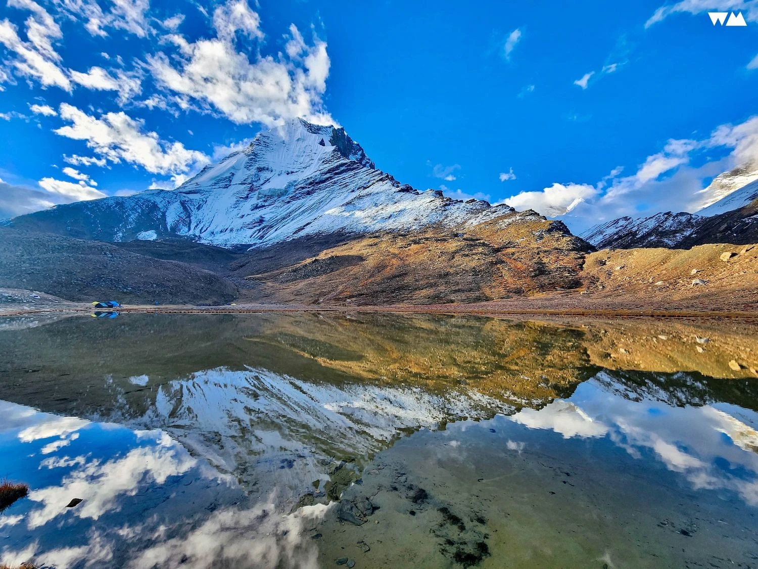
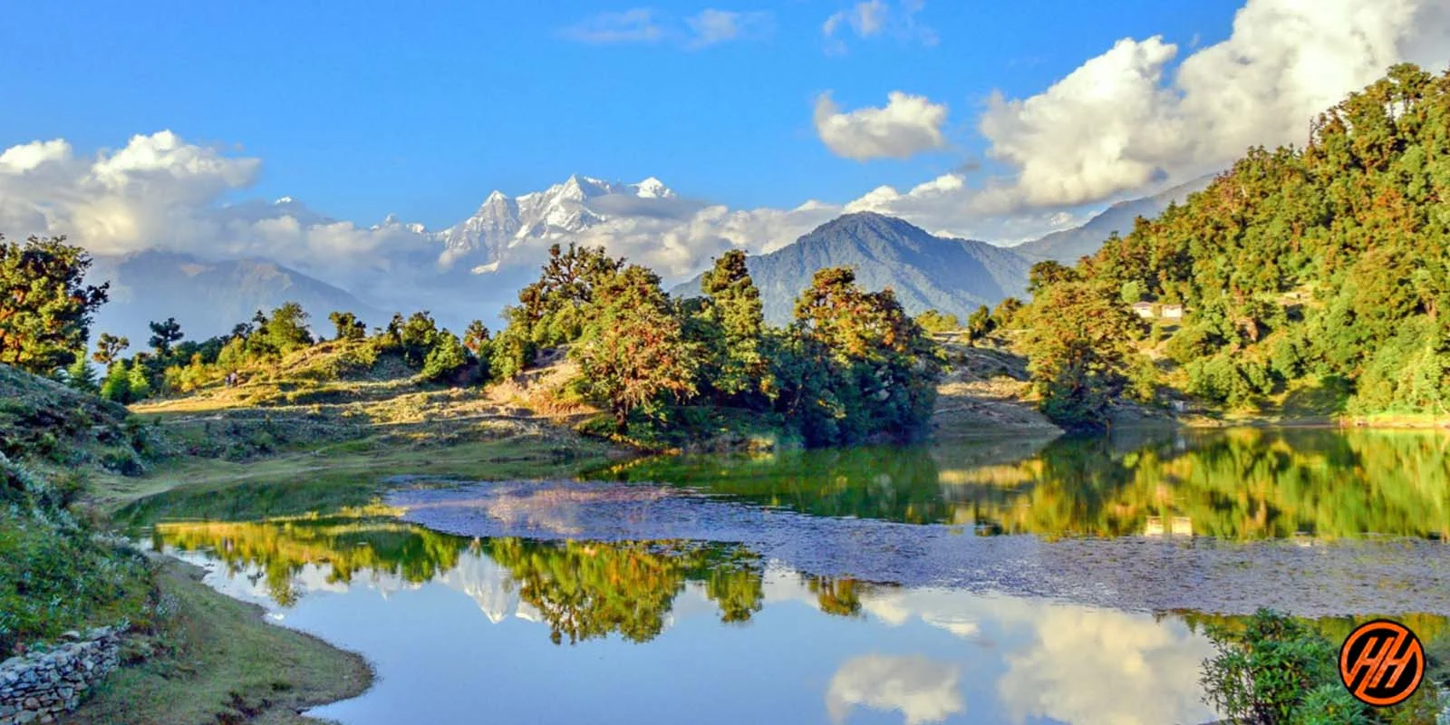
The Valley of Flowers Trek is one of the most unique and visually striking treks in the Indian Himalayas. Located in the Chamoli district of Uttarakhand, this trek takes you into a high-altitude alpine valley that comes alive for a short window every year during the monsoon months. Sitting at an altitude of around 3658 meters, the valley transforms into a natural carpet of wildflowers, mosses, and grasses fed by melting snow and seasonal rains. Unlike summit-focused treks, the Valley of Flowers is about slow exploration, biodiversity, and landscape immersion. It is a UNESCO World Heritage Site, protected for its ecological value, and offers a rare opportunity to walk through a fragile Himalayan ecosystem that changes almost daily.
The Route and Terrain of the Valley
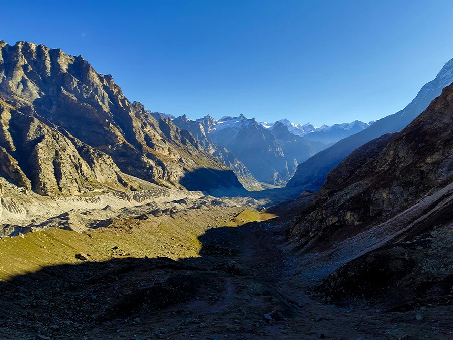
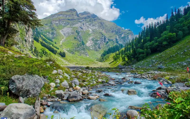
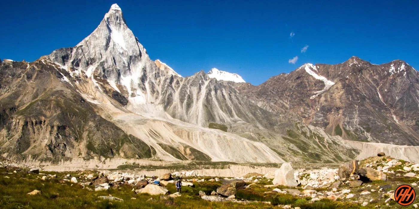
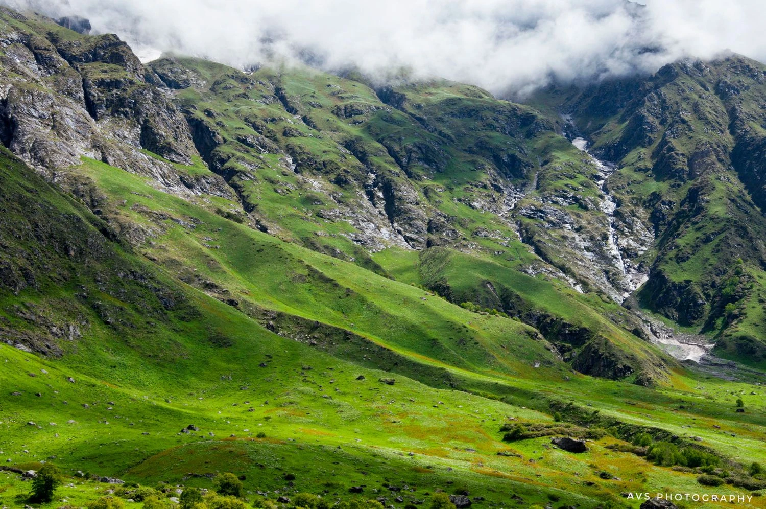
The trek begins from Govindghat, a small pilgrimage town on the Badrinath route, and gradually ascends alongside the Pushpawati River. The trail from Govindghat to Ghangaria is well laid and follows a steady incline, making it suitable even for first-time trekkers. Stone paths, mule tracks, and forest sections define this stretch. From Ghangaria, the route to the Valley of Flowers opens into a wide alpine basin surrounded by snow-clad peaks. The terrain inside the valley is relatively flat, with soft grassy meadows, glacial streams, and natural flower beds. There is no technical climbing involved, but the altitude and continuous walking require reasonable stamina.
Flora, Fauna, and Ecological Importance
What sets the Valley of Flowers apart from other Himalayan treks is its extraordinary biodiversity. Over 500 species of flowering plants have been documented here, including Himalayan blue poppy, cobra lily, primulas, and anemones. The blooming pattern varies with the season, which means the valley looks different in early July compared to late August. The area is also home to rare fauna such as the Himalayan monal, musk deer, and snow leopard, though sightings are uncommon. Strict regulations limit camping and human activity inside the valley, which has helped preserve its ecological balance over decades.
Weather, Best Time, and Trek Conditions
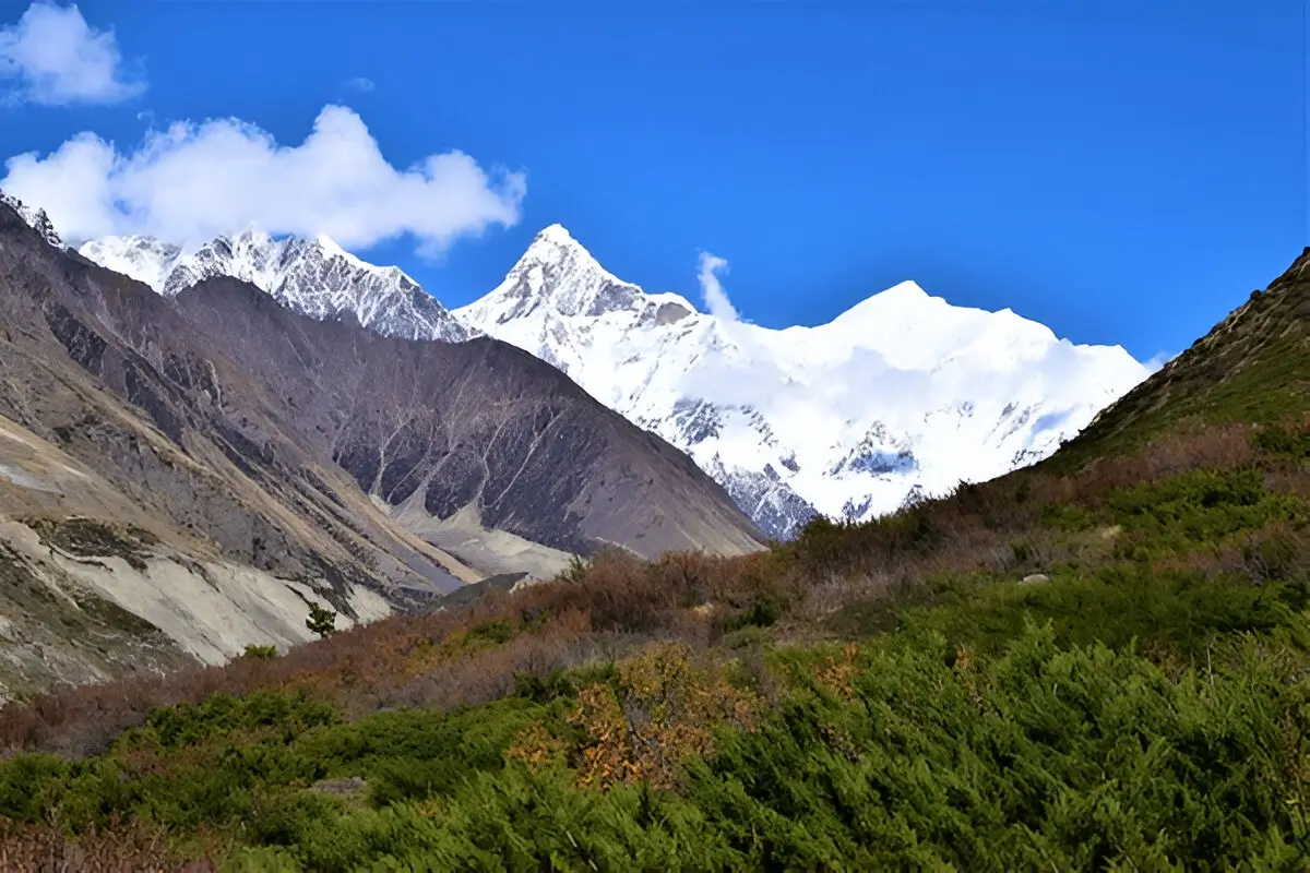
The Valley of Flowers is accessible only for a few months each year, typically from late June to early October. July and August are considered the best months, as this is when the valley is in full bloom. During this period, daytime temperatures range between 12 and 18 degrees Celsius, while nights can be colder. Rainfall is frequent, and trails can be slippery, making good footwear and rain protection essential. Unlike winter treks, snow is mostly absent from the trail during the open season, though snowfields can still be seen on surrounding peaks. The monsoon-fed streams and waterfalls add to the trek’s visual appeal but require careful navigation.
Cultural Context and Overall Experience
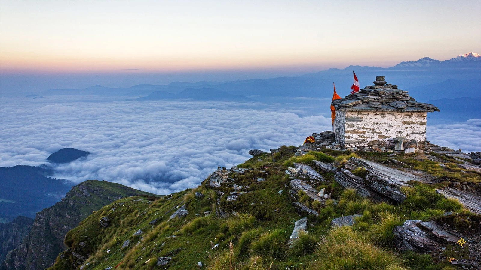
The Valley of Flowers Trek is closely linked with the cultural landscape of the Garhwal Himalayas. Ghangaria serves as a base for both Valley of Flowers and Hemkund Sahib, a major Sikh pilgrimage site located at a higher altitude. This blend of nature and spirituality gives the trek a distinctive character. Accommodation is limited to Ghangaria, with simple lodges and guesthouses offering basic but comfortable stays. The overall experience is calm and reflective rather than adrenaline driven. For trekkers seeking natural beauty, gentle terrain, and a deeper connection with Himalayan ecology, the Valley of Flowers offers something that few other treks can match.