


Kuari Pass Trek: Walking Through the Legendary Curzon Trail
The Kuari Pass Trek is one of the most celebrated Himalayan treks in India, known for its dramatic mountain views, varied terrain, and historical significance. Located in the Garhwal region of Uttarakhand, the trek reaches an altitude of about 3876 meters and follows parts of the famous Curzon Trail, named after Lord Curzon who traversed this route in the early twentieth century. Kuari Pass offers an experience that feels grand without being extreme, combining forest walks, high-altitude meadows, and expansive ridge lines with uninterrupted views of some of the tallest peaks in India. It is a trek that balances accessibility with a strong sense of scale, making it a classic choice for trekkers seeking both beauty and depth.
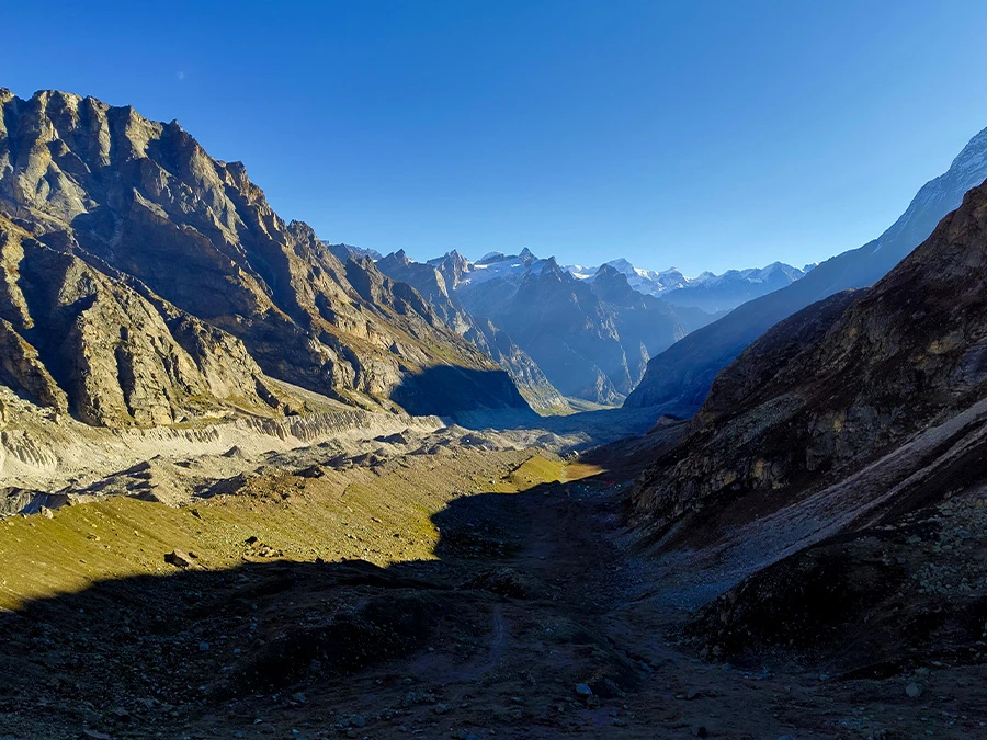
The Route and Historical Significance
The trek usually begins from Dhak village, near Joshimath, and gradually ascends through remote mountain settlements and forested slopes. The route is historically significant, as it was once used by British officials and explorers to access the inner Garhwal Himalayas. Even today, the trail feels purposeful and well laid out, winding steadily upward rather than climbing abruptly. Stone paths, old shepherd trails, and ridgeline walks define much of the route. The gradual ascent profile allows trekkers to acclimatize comfortably while covering diverse landscapes over multiple days.
Forests, Villages, and Landscape Diversity
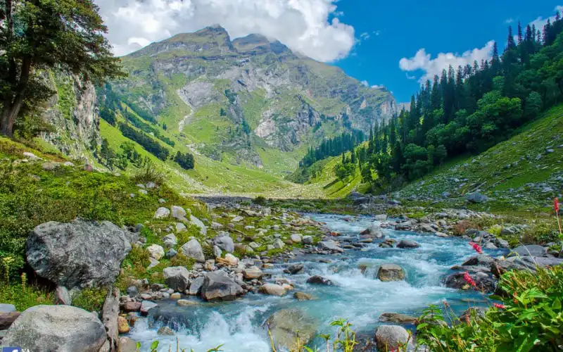
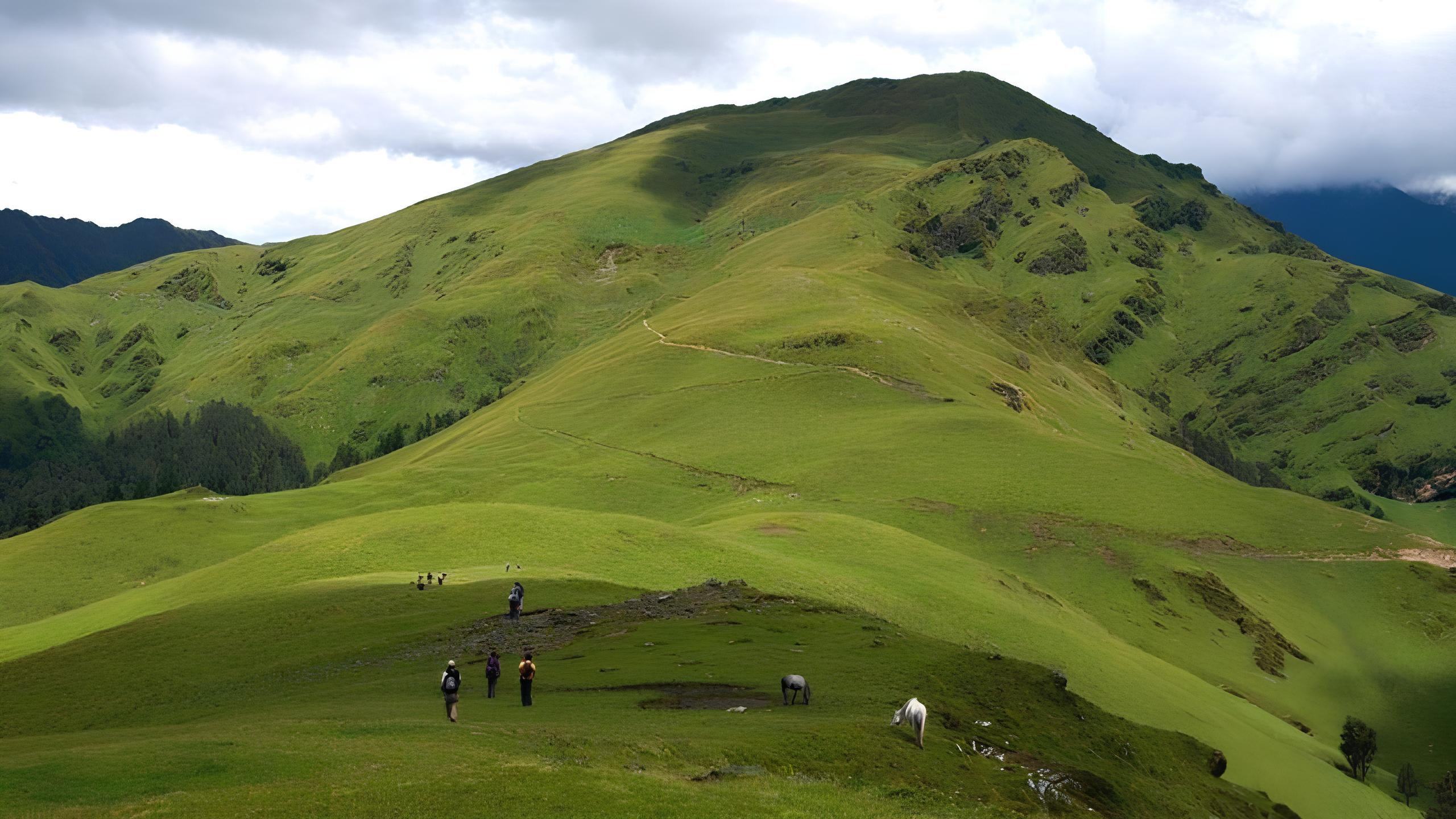
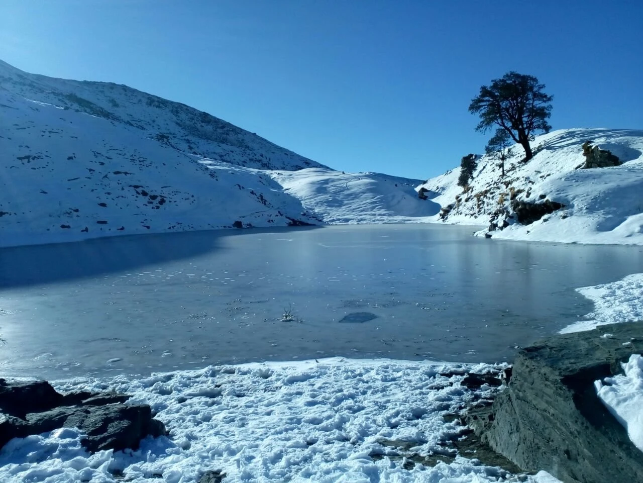
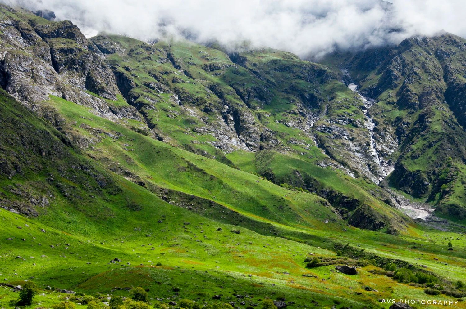
One of the strongest aspects of the Kuari Pass Trek is the diversity of terrain it offers. The lower sections pass through small villages and terraced fields, giving insight into mountain life in the Garhwal region. As altitude increases, dense oak and rhododendron forests take over, especially vibrant during spring when rhododendrons bloom in deep red hues. In winter, these same forests are covered in snow, turning the trail into a quiet and immersive snow walk. Beyond the tree line, the landscape opens into alpine meadows and long ridges that feel expansive and exposed.
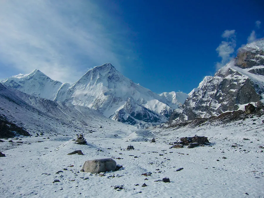
Kuari Pass and the Himalayan Panorama
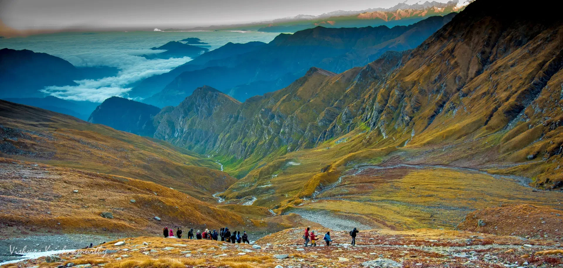
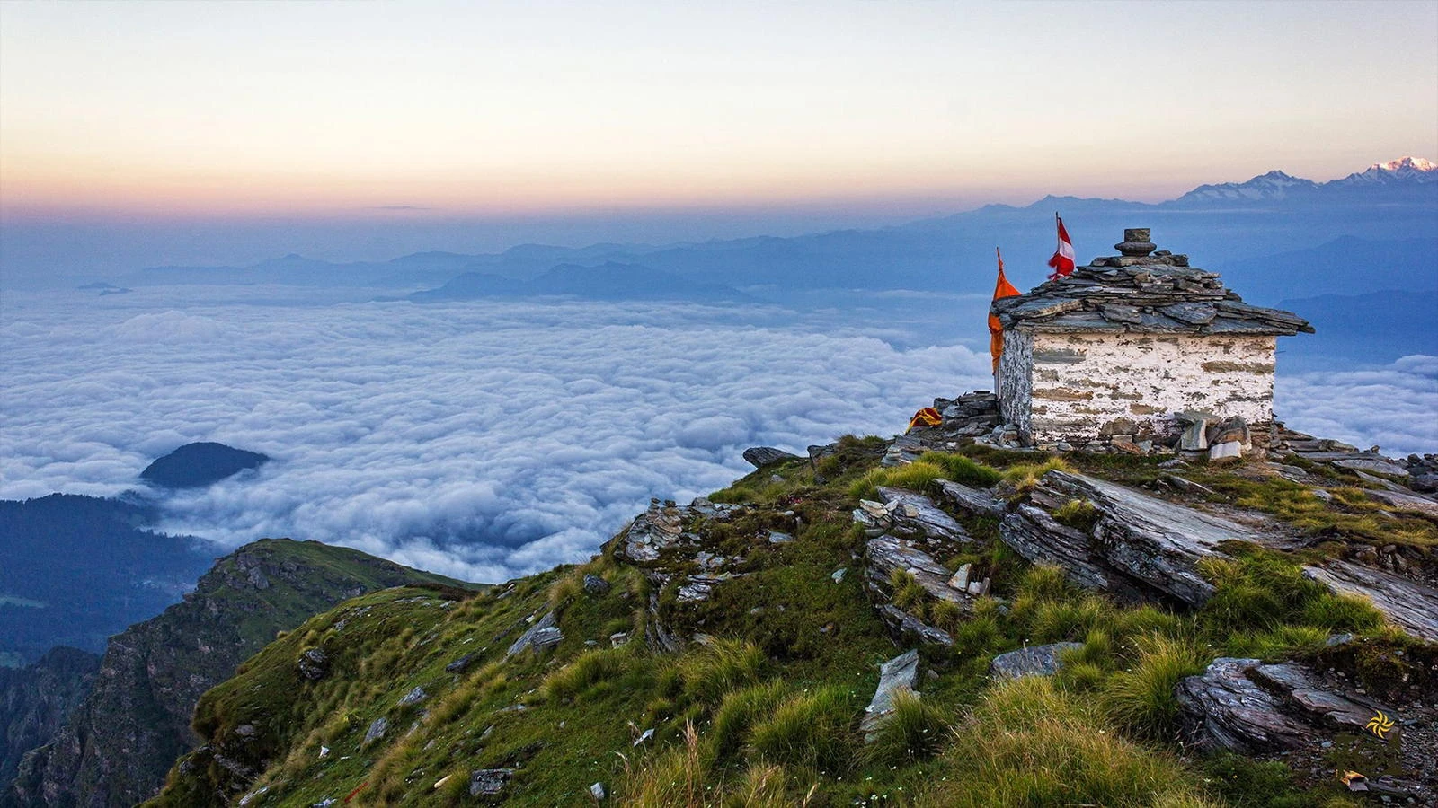
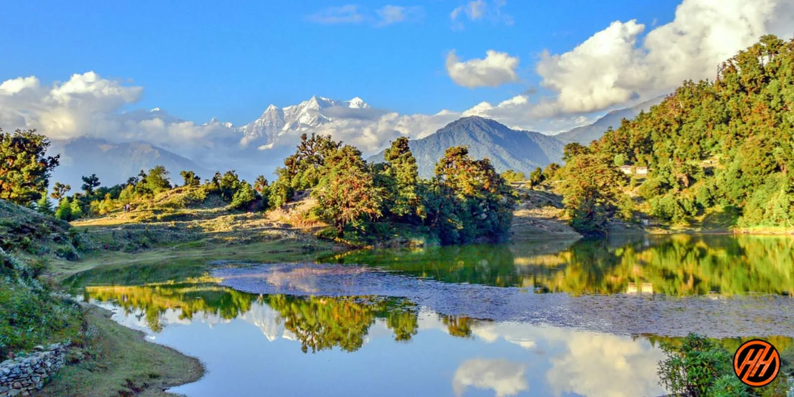
Reaching Kuari Pass is the defining moment of the trek. The pass itself sits on a wide ridge, offering panoramic views that stretch across the central and western Himalayas. Peaks such as Nanda Devi, Dronagiri, Kamet, Chaukhamba, and Hathi Ghoda dominate the skyline. What makes this view special is not just the number of peaks visible, but the clarity and proximity with which they appear. The ridge walk leading to the pass allows trekkers to absorb the scenery gradually, rather than encountering it suddenly, making the experience more immersive and memorable.
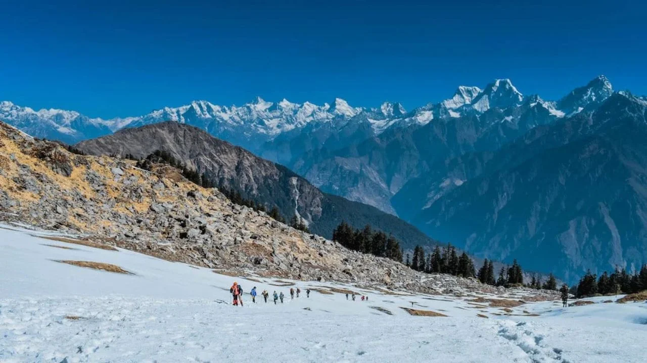
Weather Conditions and Seasonal Experience
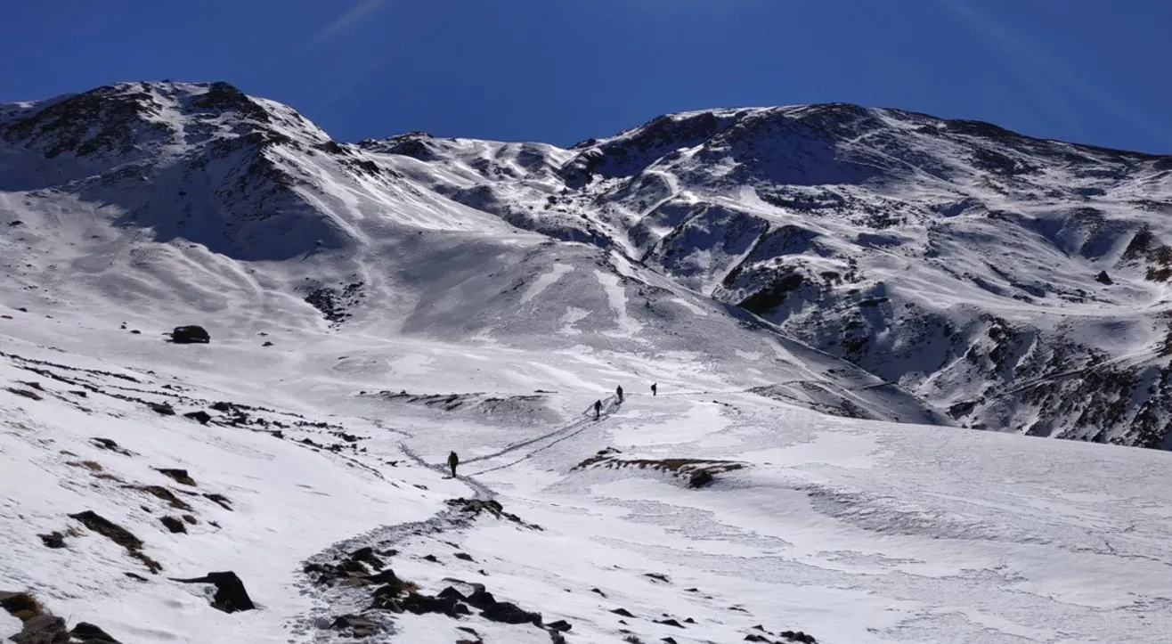
Kuari Pass is a versatile trek that can be done in multiple seasons, each offering a distinct experience. Winter months from December to February are popular for snow trekking, with consistent snow cover from mid-altitude camps onward. Spring brings clear skies and blooming forests, making April and May ideal for first-time trekkers. Summer offers pleasant temperatures but slightly hazier views. Post-monsoon months like September and October bring crisp air and excellent visibility, though temperatures drop quickly after sunset. Weather in the upper sections can change rapidly, so preparation for cold and wind is essential.
Difficulty Level and Who the Trek Is Best For
The Kuari Pass Trek is classified as moderate. It does not involve technical climbing, but the length of the trek, altitude, and cold conditions demand reasonable fitness and stamina. Beginners with good preparation can attempt this trek, while experienced trekkers will appreciate its scenic ridges and long walking days. The trek is especially suited for those who want classic Himalayan views without venturing into highly technical or extreme terrain. Kuari Pass rewards patience and consistency, making it ideal for trekkers who value the journey as much as the destination.