

Pangarchulla Peak Trek: Conquer One of Uttarakhand''s Most Thrilling Himalayan Summits
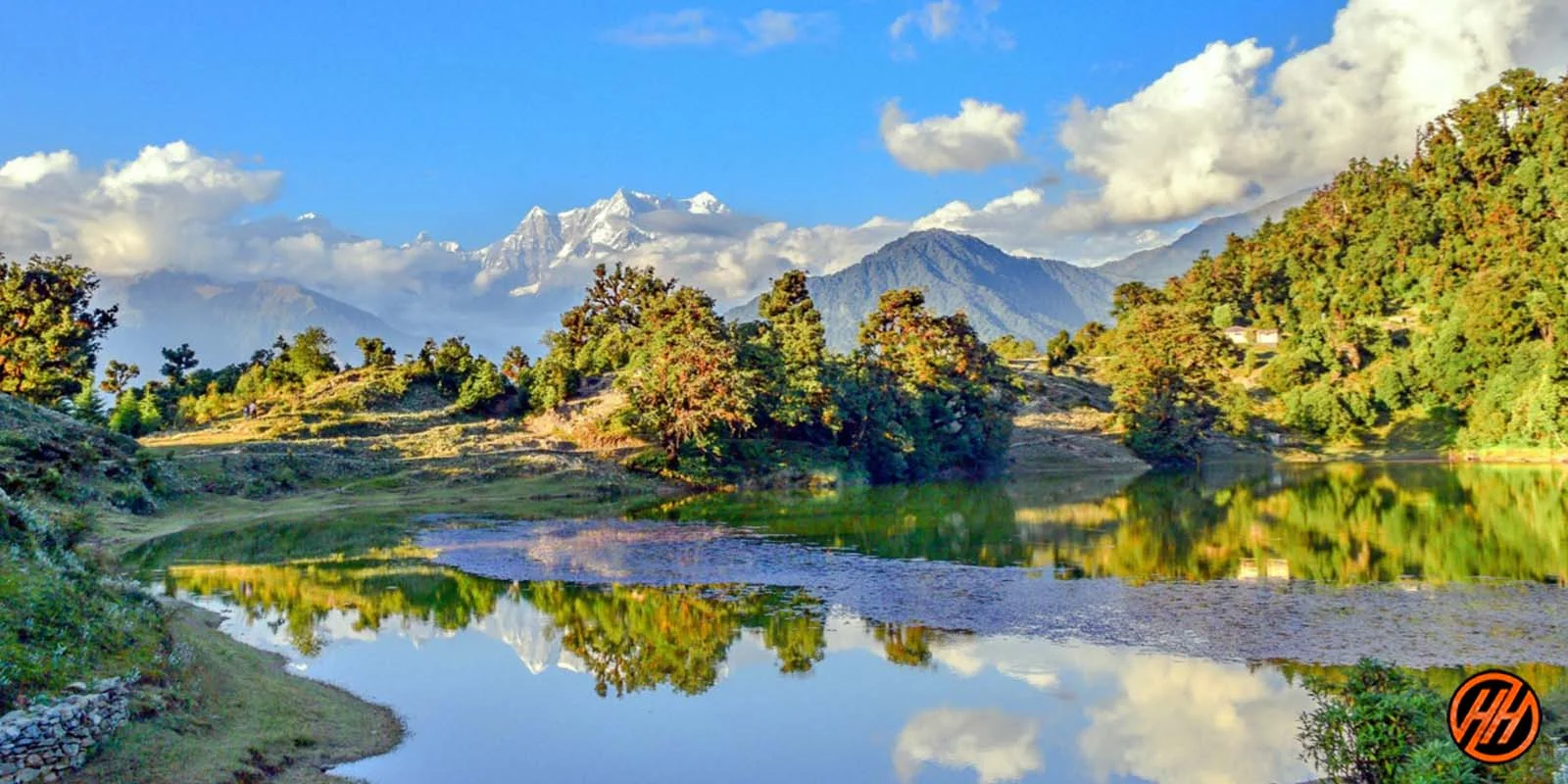
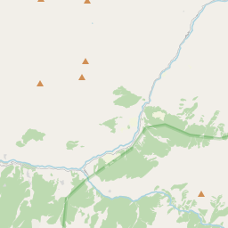
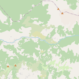
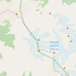
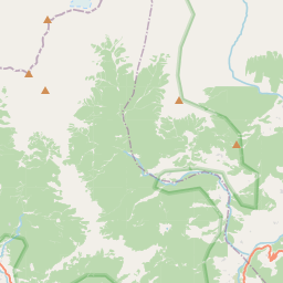
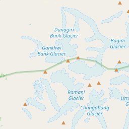
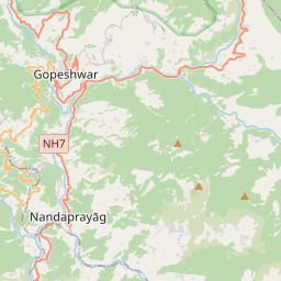
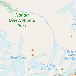
The Pangarchulla Peak Trek is among the most exciting summit treks in the Garhwal Himalayas, combining alpine meadows, dense forests, snow-covered ridges, and a challenging Himalayan peak ascent. Located in the Chamoli district of Uttarakhand, the trek follows parts of the famous Kuari Pass trail before branching toward Pangarchulla Peak, which rises to approximately 4,590 meters above sea level. Unlike many Himalayan treks that focus primarily on scenic walking, Pangarchulla rewards trekkers with the genuine experience of standing atop a prominent Himalayan summit. The trek offers panoramic views of legendary peaks such as Nanda Devi, Dronagiri, Chaukhamba, Hathi Ghoda Parbat, Kamet, and Trishul. Its combination of adventure, varied terrain, and breathtaking mountain scenery has made it one of the most sought-after peak treks in India. The route typically begins from Dhak or Tugasi village near Joshimath and passes through forests, meadows, and high-altitude camps before culminating in a demanding summit day.
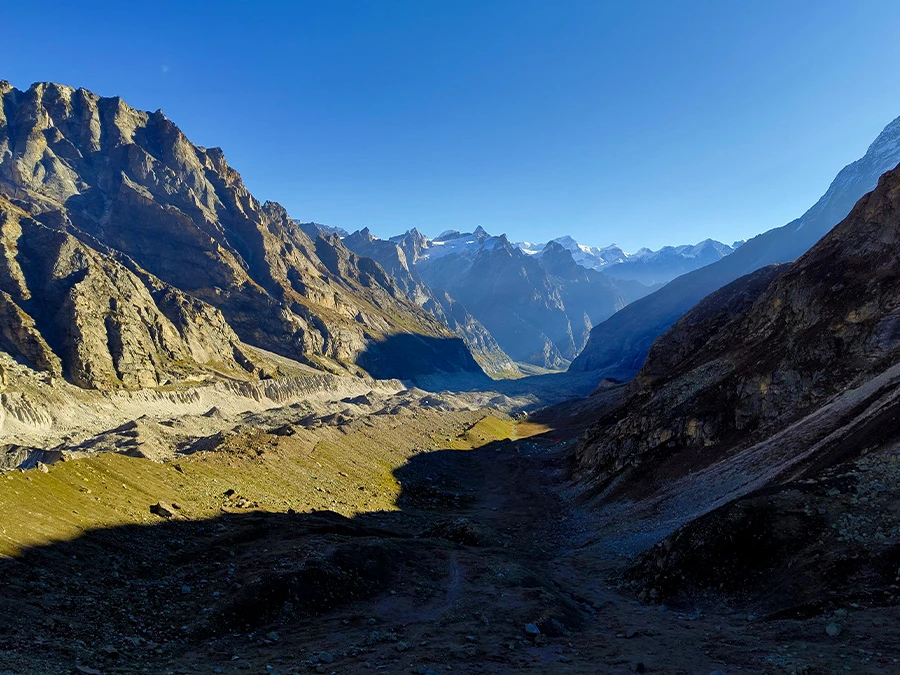
Forests, Villages, and the Garhwal Landscape
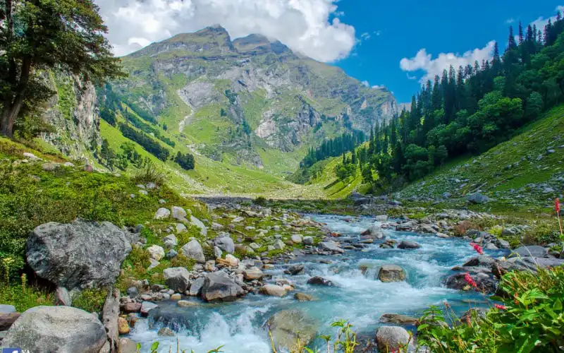
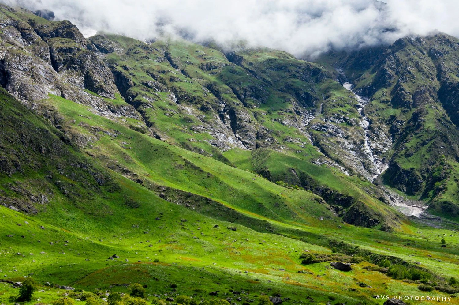
The trek starts in the traditional Himalayan villages surrounding Joshimath, where terraced farms and stone houses reflect the unique culture of Garhwal. The initial sections pass through ancient oak, rhododendron, and deodar forests. During spring, rhododendron blooms paint the mountainsides in vibrant shades of red and pink. Trekkers walk through well-defined shepherd trails that have been used for generations by local communities. The gradual ascent through dense forests offers shade, abundant birdlife, and occasional sightings of Himalayan wildlife. These lower sections provide an ideal introduction to the rich ecological diversity of the Nanda Devi Biosphere region.
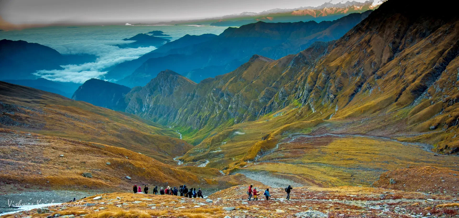
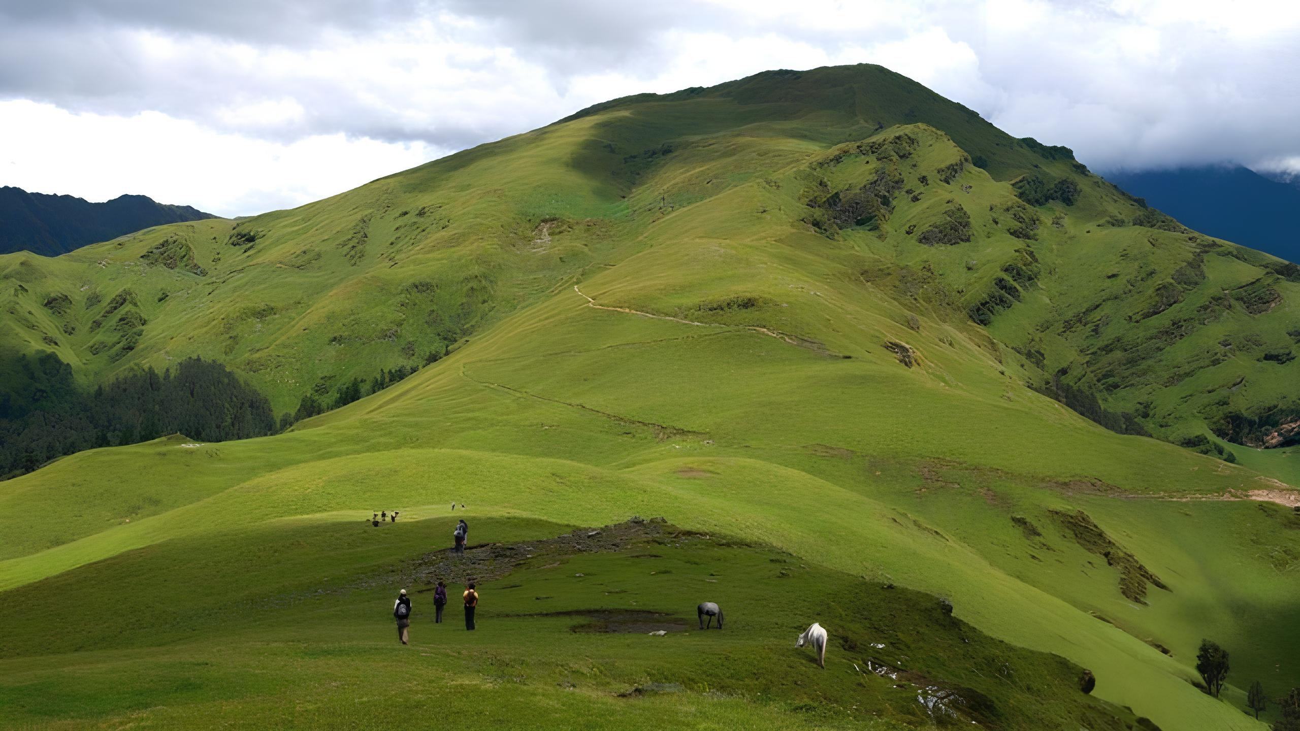
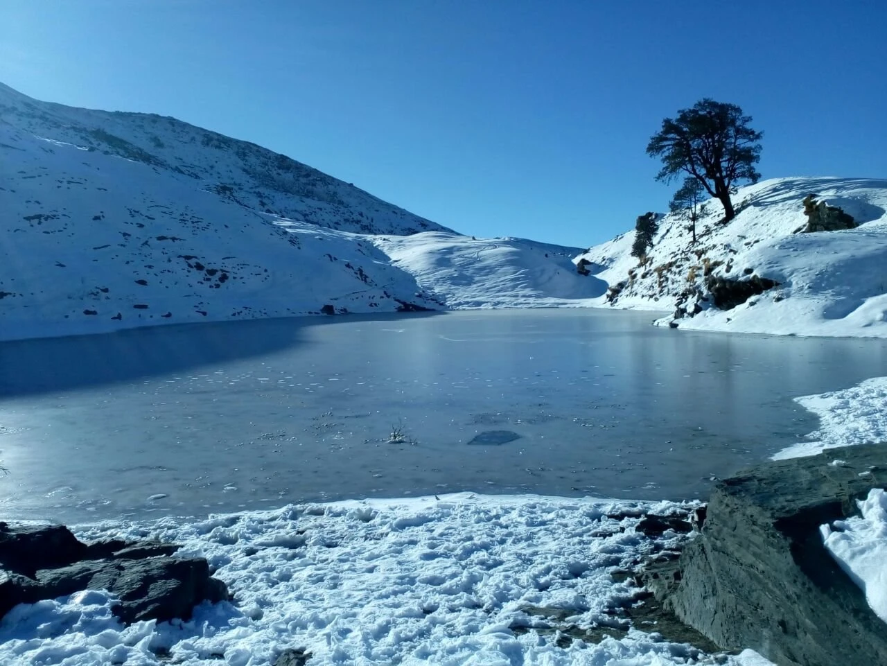
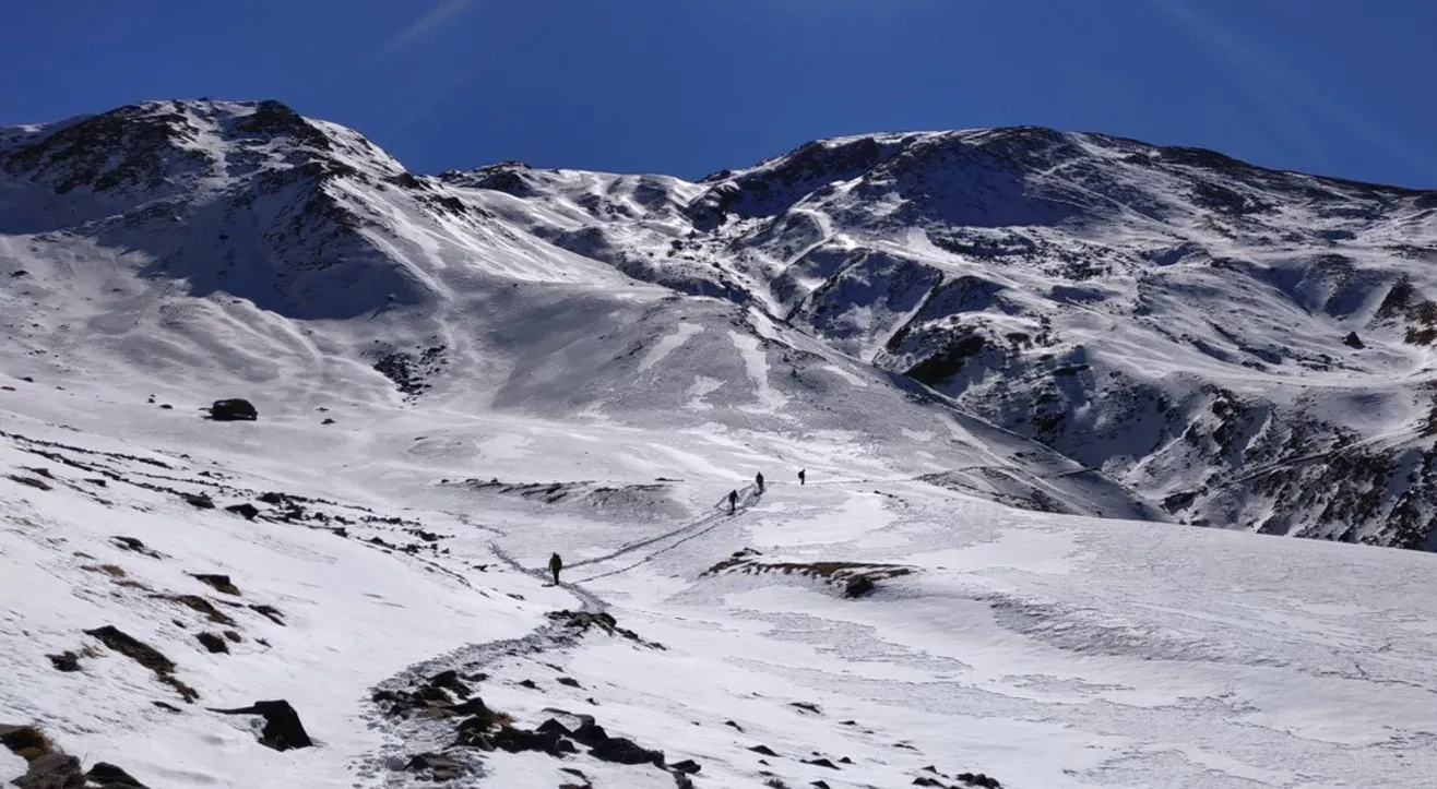
The Beauty of Kuari Pass and High Meadows
One of the unique aspects of the Pangarchulla trek is that it shares a significant portion of its route with the historic Kuari Pass trail, famously explored by Lord Curzon. Trekkers camp at scenic locations such as Gulling and Khullara, where expansive alpine meadows open up dramatic views of the surrounding Himalayan ranges. These bugyals remain covered in snow during spring and transform into lush grasslands during summer. The campsites offer spectacular sunrise and sunset views as changing light illuminates the snow-covered peaks. The gradual acclimatization through these meadows helps prepare trekkers for the demanding summit climb ahead.
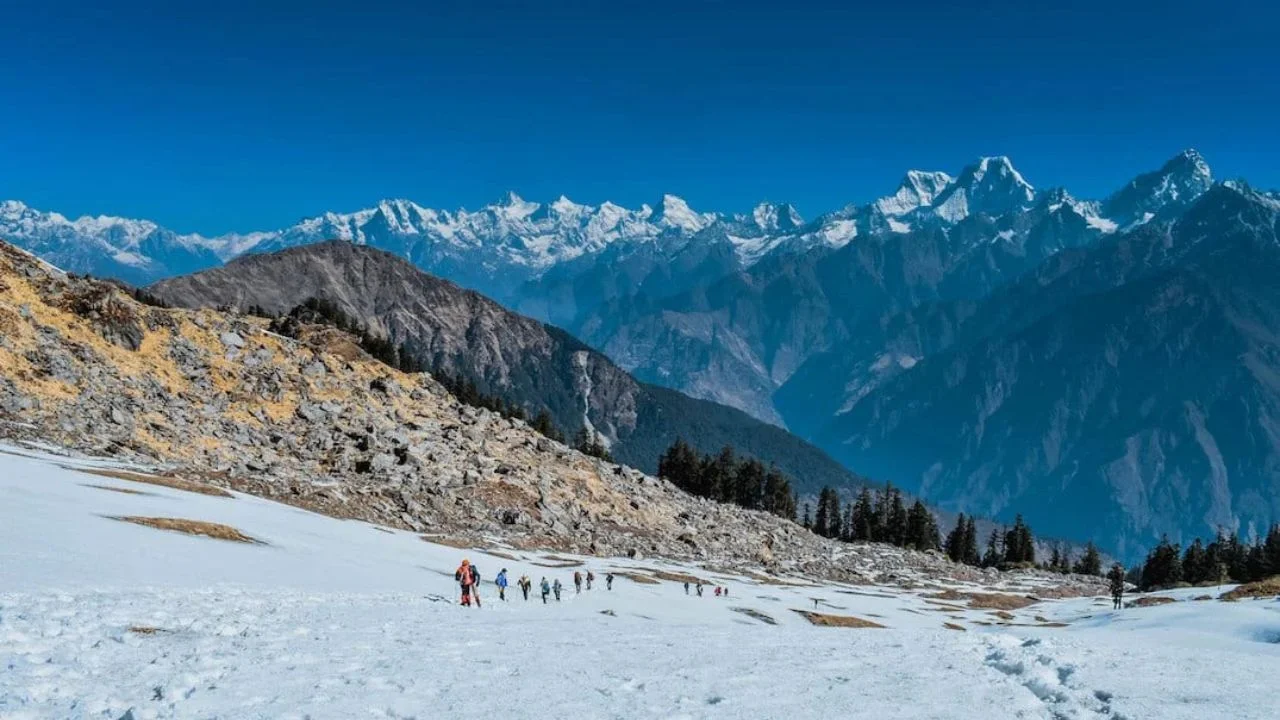
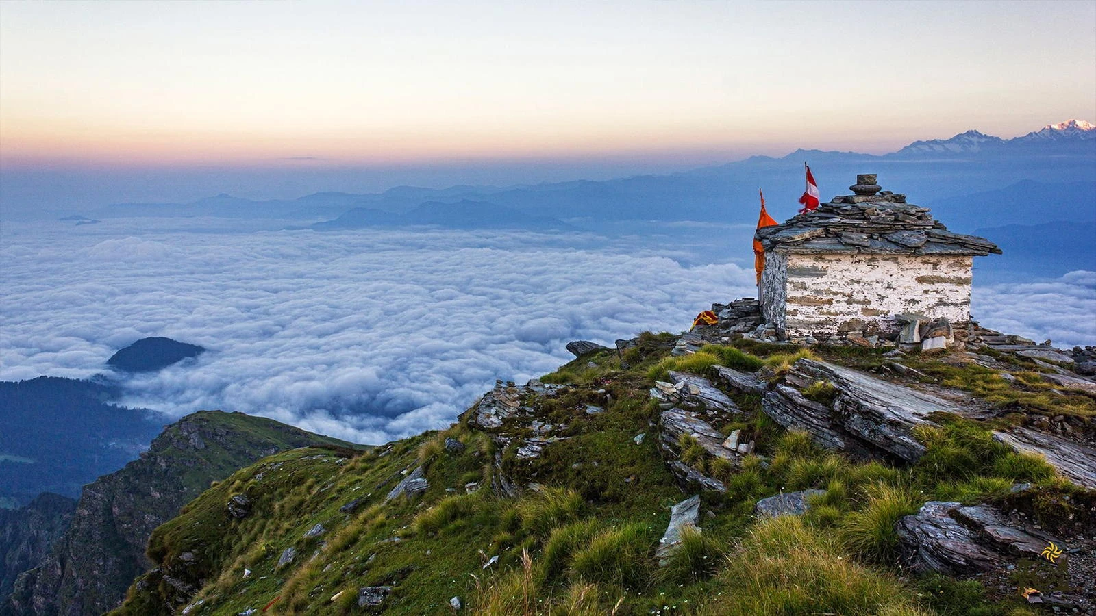
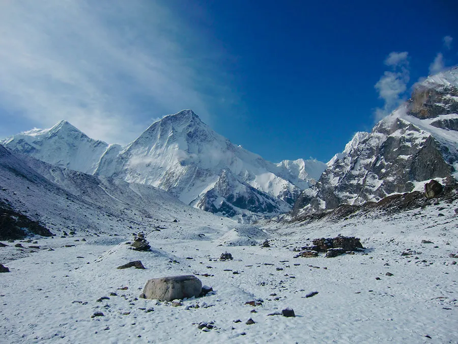
Summit Day and the Pangarchulla Challenge
Summit day is widely regarded as one of the most thrilling experiences in Indian trekking. Trekkers begin before dawn and ascend steep snow slopes, rocky ridges, and exposed sections depending on seasonal conditions. The final climb demands endurance, determination, and careful pacing. As altitude increases, the landscape becomes increasingly rugged, with snowfields and boulder zones replacing vegetation. Upon reaching the summit, trekkers are rewarded with uninterrupted 360-degree views of some of the most iconic Himalayan peaks. The feeling of accomplishment is immense, making Pangarchulla one of the few non-technical Himalayan summits that offers a true mountaineering atmosphere without requiring advanced climbing skills.
Best Time, Difficulty, and Preparation
The best time to undertake the Pangarchulla Peak Trek is during April, May, September, and October. Spring departures often feature extensive snow sections, adding excitement to the summit climb, while autumn offers clear skies and exceptional mountain visibility. The trek is graded moderate to difficult due to its steep ascent, high altitude, and long summit day. Good cardiovascular fitness and prior trekking experience significantly improve the experience. Proper layering, trekking poles, waterproof gear, and quality trekking shoes are essential. For trekkers seeking a challenging Himalayan summit combined with stunning alpine landscapes, Pangarchulla delivers one of the most rewarding trekking experiences in Uttarakhand.