Rupin Pass Trek

Rupin Pass Trek

Uttarakhand
Moderate to DifficultDifficulty
7–8 daysDuration
4650 mMax Altitude
52 kmLength
Dhaula villageStarting Point

Rupin Pass Trek: A High-Altitude Drama of Waterfalls, Snowfields, and Remote Valleys

The Rupin Pass Trek is widely regarded as one of the most dramatic and visually rewarding treks in the Indian Himalayas. Stretching across Uttarakhand and Himachal Pradesh, this trek climbs to an altitude of around 4650 meters and offers an ever-changing landscape that feels almost cinematic in progression. From hanging villages and dense forests to roaring waterfalls, snow bridges, and a steep pass crossing, Rupin Pass delivers constant variety. What makes this trek stand out is how each day feels distinctly different from the last, creating a sense of journey rather than repetition. It is a trek that demands commitment, but rewards it with scale, isolation, and raw mountain beauty.

The Route and the Sense of Journey

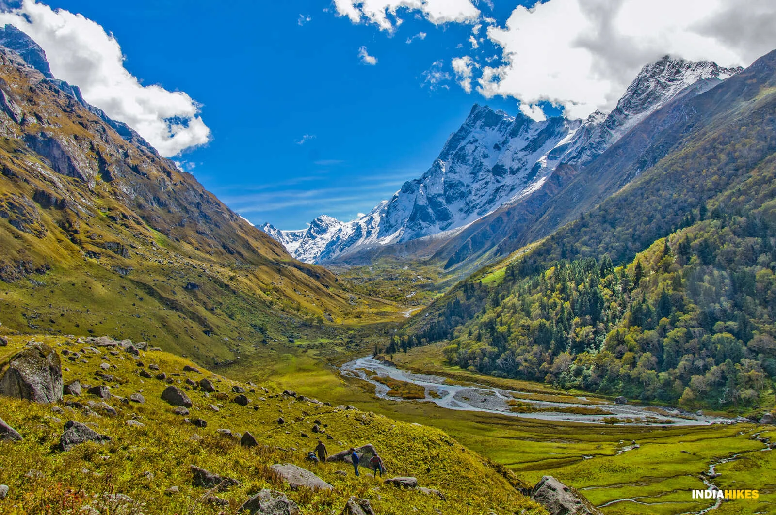
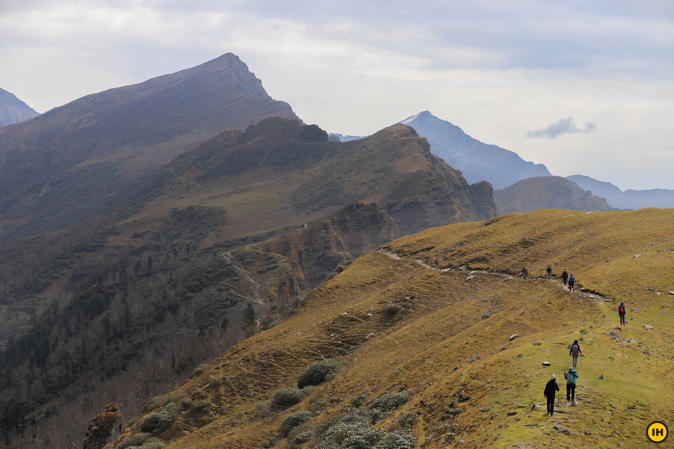
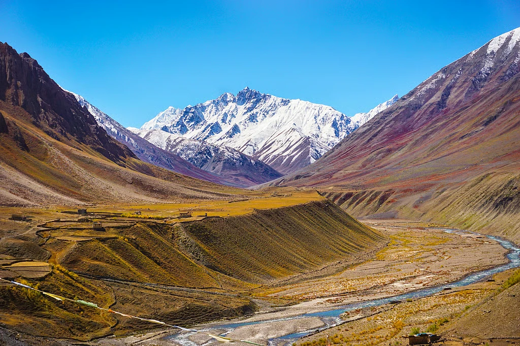
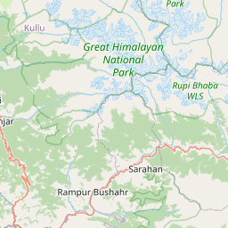
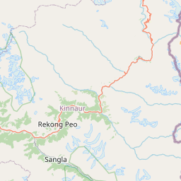
The Rupin Pass Trek usually begins at Dhaula, a small road-head village in Uttarakhand, and ends in Sangla Valley in Himachal Pradesh. From the very first day, the trail follows the Rupin River upstream, gradually drawing trekkers deeper into a narrowing valley. The route is designed by geography rather than convenience, which gives it an organic flow. Early sections pass through terraced fields and wooden villages, where daily life still follows traditional mountain rhythms. As the valley tightens, the trail rises steadily, often switching sides of the river, revealing new perspectives at every turn. This long valley walk builds anticipation for the high pass that remains hidden until the final days.

Terrain, Waterfalls, and Changing Landscapes

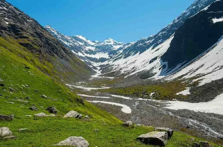
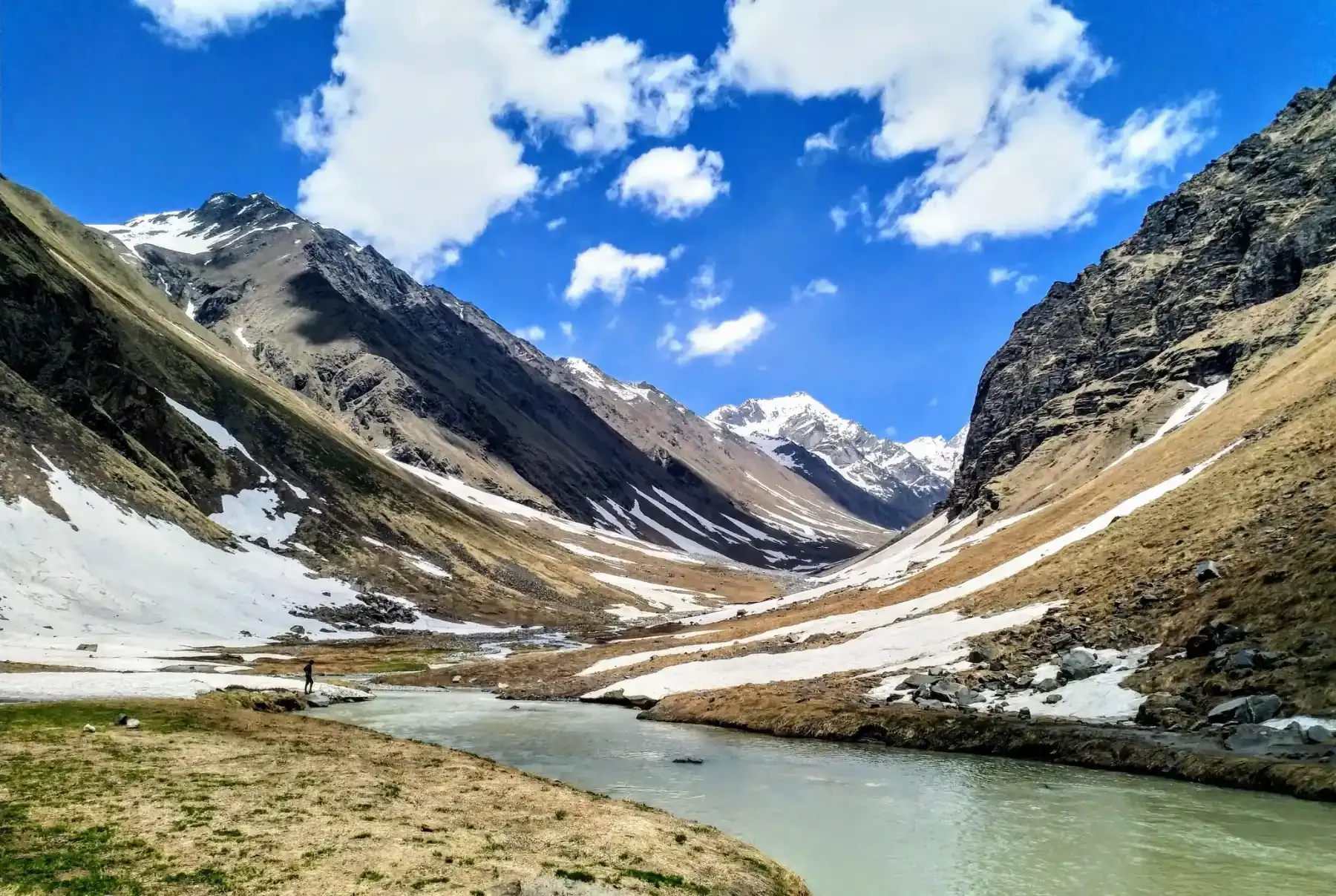
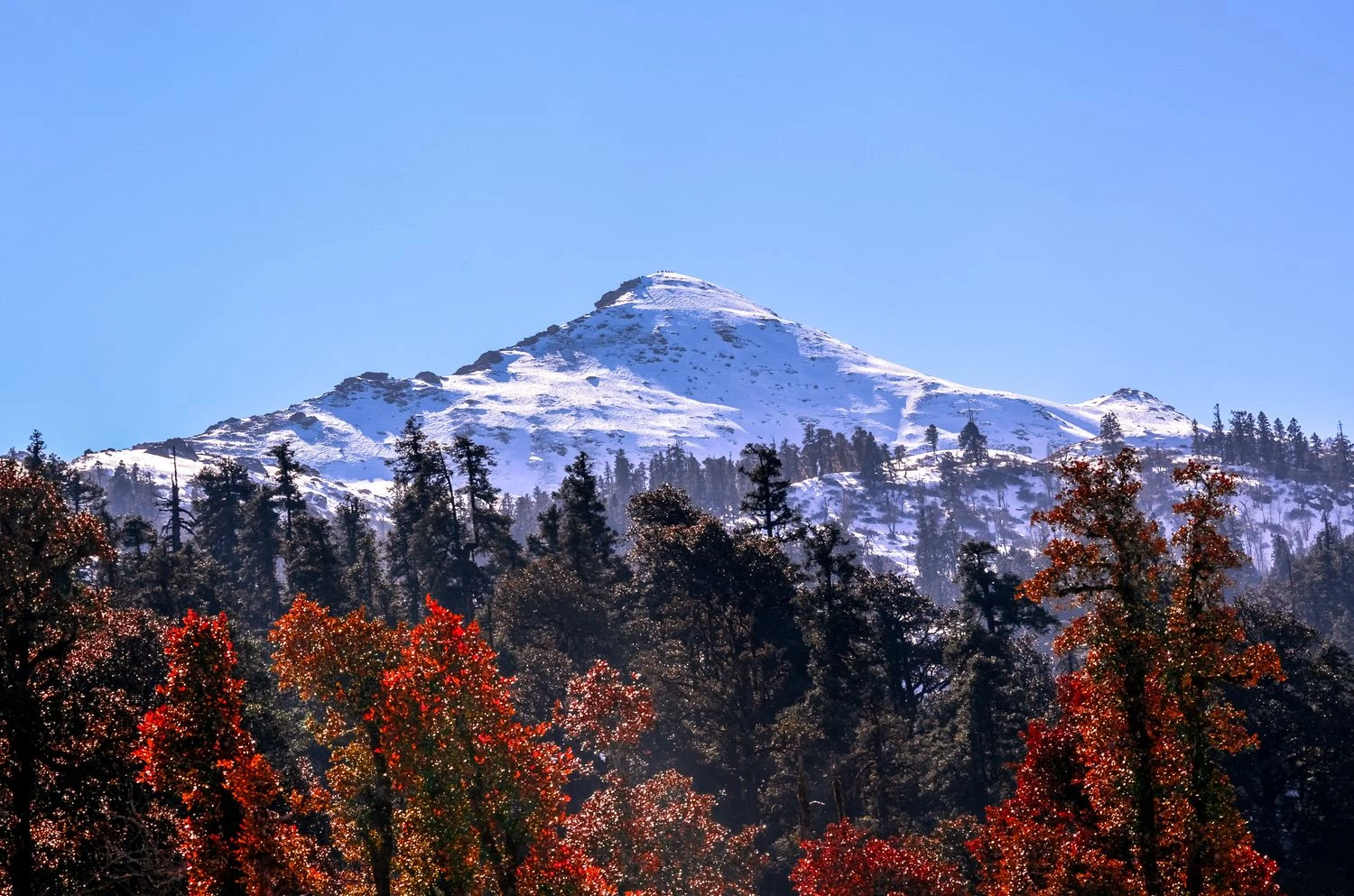
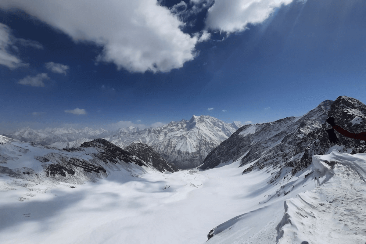
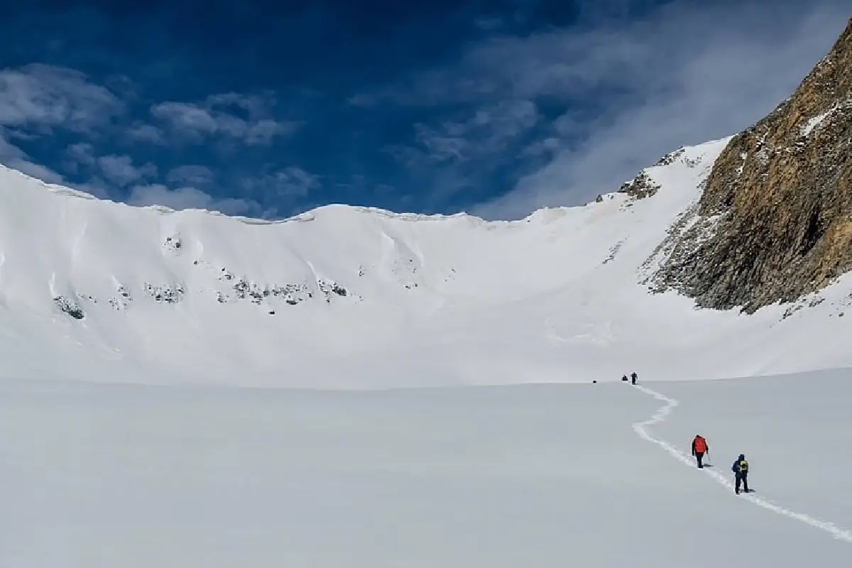
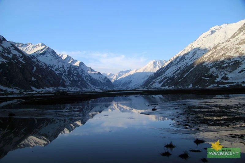
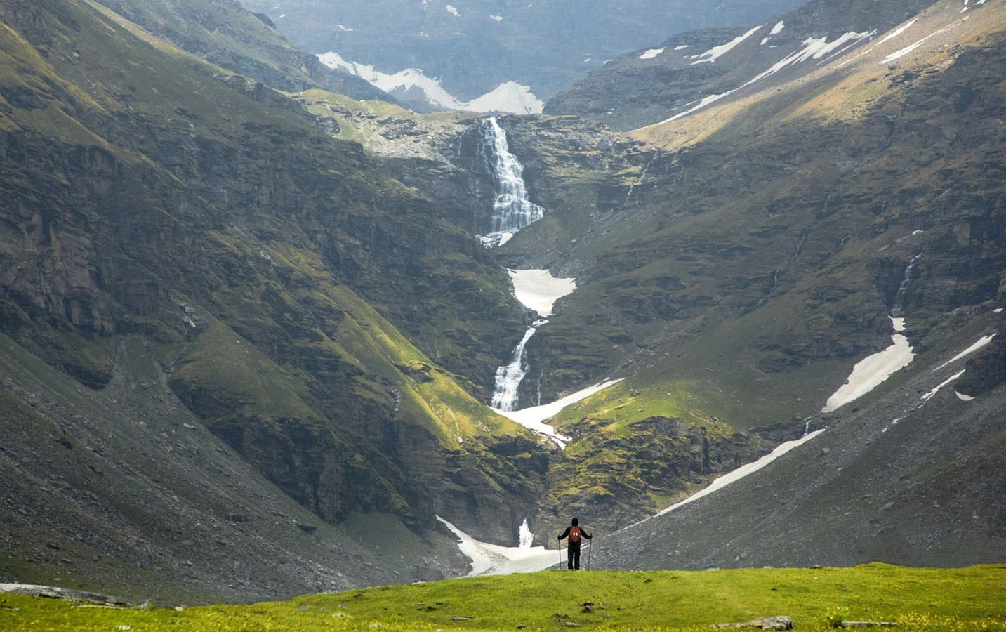
One of the defining features of the Rupin Pass Trek is the diversity of terrain packed into a single route. The lower sections are lush and green, with forests of deodar, pine, and mixed alpine vegetation. As altitude increases, open meadows appear, often used by shepherds during summer months. The trek is famous for its dramatic waterfalls, some of which cascade directly onto the trail, forcing trekkers to cross spray-soaked rocks. Higher up, the landscape becomes stark and alpine, with snow patches appearing even in early summer. The final approach to the pass involves walking over snowfields and negotiating steep inclines, a sharp contrast to the gentle valley walks of earlier days.

Weather Patterns and Best Time to Trek

The best time to attempt the Rupin Pass Trek is during late spring and early summer, typically from May to June, when snow still dominates the upper sections. This period offers the most dramatic visuals, with snow bridges, cornices, and a true high-altitude pass crossing. Daytime temperatures are usually comfortable in the lower camps, while nights remain cold at higher elevations. September and early October offer a drier alternative, with clearer skies and reduced snow, though the visual drama of snowfields is less pronounced. Weather can change quickly, especially near the pass, making flexibility and preparedness essential.

Difficulty Level and Physical Preparation

Rupin Pass is considered a moderate to difficult trek, not because of technical climbing, but due to its length, altitude, and continuous progression. The trek involves long walking days, steady altitude gain, and one demanding pass crossing. Acclimatization is built naturally into the itinerary, but trekkers must maintain good physical conditioning to handle consecutive days of exertion. The pass day itself is physically intense, with a steep ascent on snow followed by a long descent into Himachal Pradesh. Mental endurance is just as important as physical fitness, especially during cold mornings and challenging weather conditions.

Why Rupin Pass Is Considered a Classic Himalayan Trek

Rupin Pass has earned its reputation as a classic because it captures the essence of Himalayan trekking in a single route. It offers cultural exposure in remote villages, ecological diversity across altitude zones, and a true sense of crossing from one mountain world into another. The trek does not rely on a single highlight. Instead, it builds gradually, day by day, until the final pass crossing delivers a powerful sense of achievement. For trekkers looking to move beyond beginner trails and experience a trek that feels immersive and complete, Rupin Pass represents a meaningful step forward in their Himalayan journey.

Packing List

waterproof jacket
Buy on Amazon
thermal layers
Buy on Amazon
down jacket
Buy on Amazon
trekking poles
Buy on Amazon
quick-dry clothes
Buy on Amazon
gloves
Buy on Amazon
woollen cap
Buy on Amazon
sunscreen
Buy on Amazon
personal medicines
Buy on Amazon

Itinerary

Day 1: Dehradun to Dhaula | Distance: 210 km | Duration: 8 to 9 hours | Altitude: 5100 ft
  • Scenic drive through mountain roads to Dhaula village
  • River valleys and forested sections
  • Guesthouse stay with dinner
Day 2: Dhaula to Sewa | Distance: 6 km | Duration: 5 hours | Altitude: 6300 ft
  • Gradual ascent through villages and terraced fields
  • Well-marked trail along the Rupin River
  • Homestay or campsite with meals
Day 3: Sewa to Jhaka | Distance: 8 km | Duration: 6 hours | Altitude: 8700 ft
  • Steeper trail with river crossings and forest sections
  • Views of hanging villages and waterfalls
  • Campsite stay with hot meals
Day 4: Jhaka to Saruwas Thatch | Distance: 7 km | Duration: 5 to 6 hours | Altitude: 10800 ft
  • Gradual climb through alpine meadows
  • Open landscapes with grazing grounds
  • Campsite with evening acclimatization walk
Day 5: Saruwas Thatch to Dhanderas Thatch | Distance: 5 km | Duration: 4 hours | Altitude: 12500 ft
  • Trek alongside dramatic waterfalls
  • Cold winds and alpine terrain
  • Campsite near the waterfall with warm meals
Day 6: Dhanderas Thatch to Rupin Pass to Ronti Gad | Distance: 10 km | Duration: 8 to 9 hours | Altitude: 15250 ft
  • Early start for steep ascent to Rupin Pass
  • Snowfields near the pass and long descent
  • Campsite in Himachal Pradesh
Day 7: Ronti Gad to Sangla | Distance: 16 km | Duration: 6 to 7 hours | Altitude: 8800 ft
  • Gradual descent through forests into Sangla Valley
  • Wide trail with river views
  • Guesthouse stay and trek conclusion

Reviews

0 reviews

Share your experience to help other trekkers plan this route.

No reviews yet for this trek.

Be the first to share what it is really like out there.

FAQs

Is Rupin Pass suitable for beginners?

It is better suited for trekkers with prior experience due to its length and altitude.

How difficult is the Rupin Pass crossing?

The pass day is long and steep, especially when snow is present.

Does the trek involve walking on snow?

Yes. Snowfields are common near the pass in May and June.

Is altitude sickness a concern?

Gradual ascent helps, but awareness and hydration are essential.

What kind of shoes are required?

Sturdy high-ankle trekking shoes with good grip are recommended.

Are river crossings frequent?

Yes. Several stream crossings occur along the Rupin River.

Is camping mandatory on the trek?

Yes. Most nights are spent at remote campsites.

Are guides required for Rupin Pass?

Guided treks are strongly recommended due to terrain and weather variability.

What makes Rupin Pass unique?

The continuous landscape change and dramatic pass crossing.

Which side does the trek end on?

The trek ends in Sangla Valley in Himachal Pradesh.

Mountain trail
Plan your next trek

Browse all treks in one place

Explore every trek on FindMeTrek with powerful filters for region, difficulty, duration, and season so you can quickly find the trail that matches your next adventure.

More Treks Nearby This

Other trails in this region that you might want to explore.

Essential Trekking Guidelines to Follow

Obtain Required Permits

Many trekking destinations require official permits from local authorities. Apply early to avoid fines or being denied entry.

Respect Nature and Wildlife

Follow Leave No Trace. No littering or off-trail wandering. Keep noise low and avoid disturbing animals.

Travel with a Guide when Required

Certain high-altitude or border zones mandate certified guides for safety and regulations. Check rules before planning.

Camp Only at Designated Sites

Unauthorized camping or bonfires can damage ecosystems and violate laws. Use approved campsites for safety.

Respect Local Culture

Seek permission before photographing villagers or holy places. Dress modestly and engage respectfully with locals.

Follow Weather and Safety Advisories

If authorities halt a trek due to weather or hazards, comply without argument. These alerts protect lives.

Stay Within Allowed Zones

Border-close trails often have restricted limits. Do not cross protected boundaries without permissions.

Stick to Group Instructions

When trekking with a group, follow the leader’s pace and timing. Avoid moving alone or straying off track.