


Buran Ghati Trek: From Ancient Villages to a Thrilling Himalayan Pass Crossing
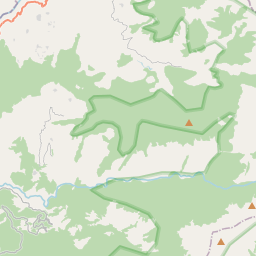
The Buran Ghati Trek is one of the most diverse and dramatic trekking adventures in the Indian Himalayas. Located in the Pabbar Valley region of Himachal Pradesh, this spectacular trek combines dense forests, traditional Himalayan villages, alpine meadows, glacial lakes, snowfields, and an exhilarating high-altitude pass crossing into a single expedition. Rising to an elevation of approximately 4,572 meters, Buran Ghati serves as a gateway between the lush green landscapes of Janglik and the rugged wilderness of the Barua Valley. What makes this trek unique is the extraordinary variety of terrain encountered over a relatively short distance. Trekkers begin their journey amidst apple orchards and wooden villages before gradually ascending into vast meadows, pristine campsites, and snow-covered mountain environments. The dramatic descent from Buran Pass, often involving snow slopes during early summer, is considered one of the most exciting experiences on any Himalayan trek in India. For trekkers seeking diversity, adventure, and breathtaking scenery, Buran Ghati offers an unforgettable mountain journey.
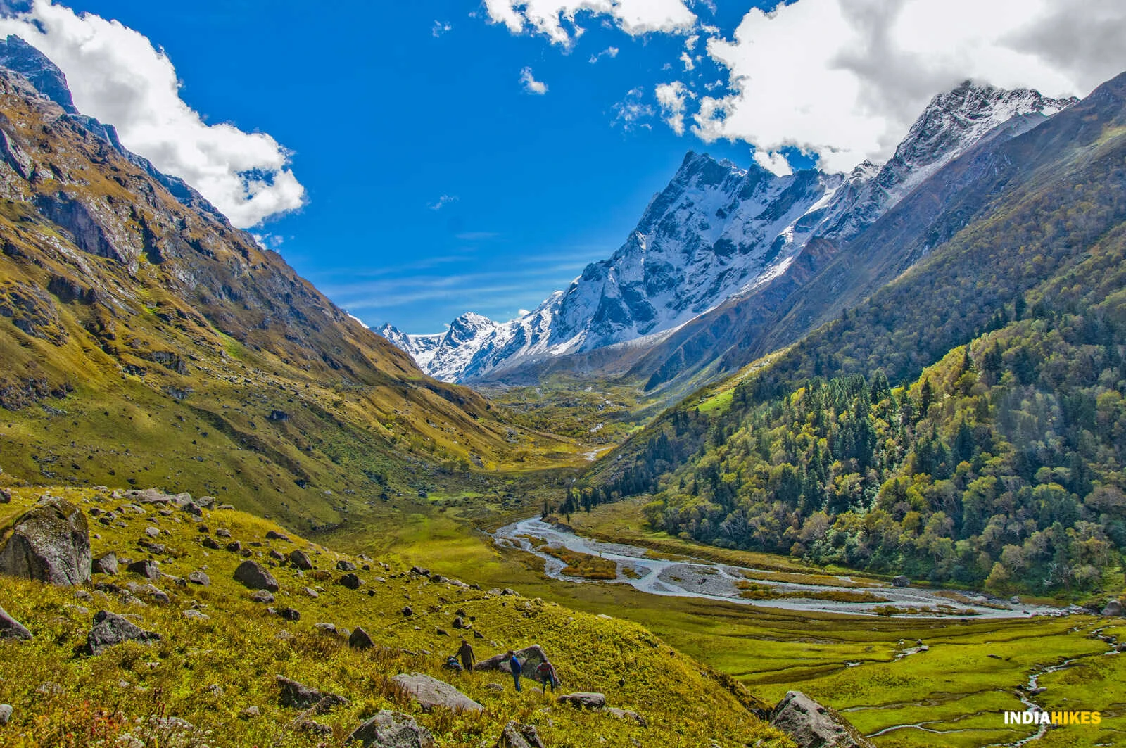
The Cultural Charm of Janglik and Dayara Meadows
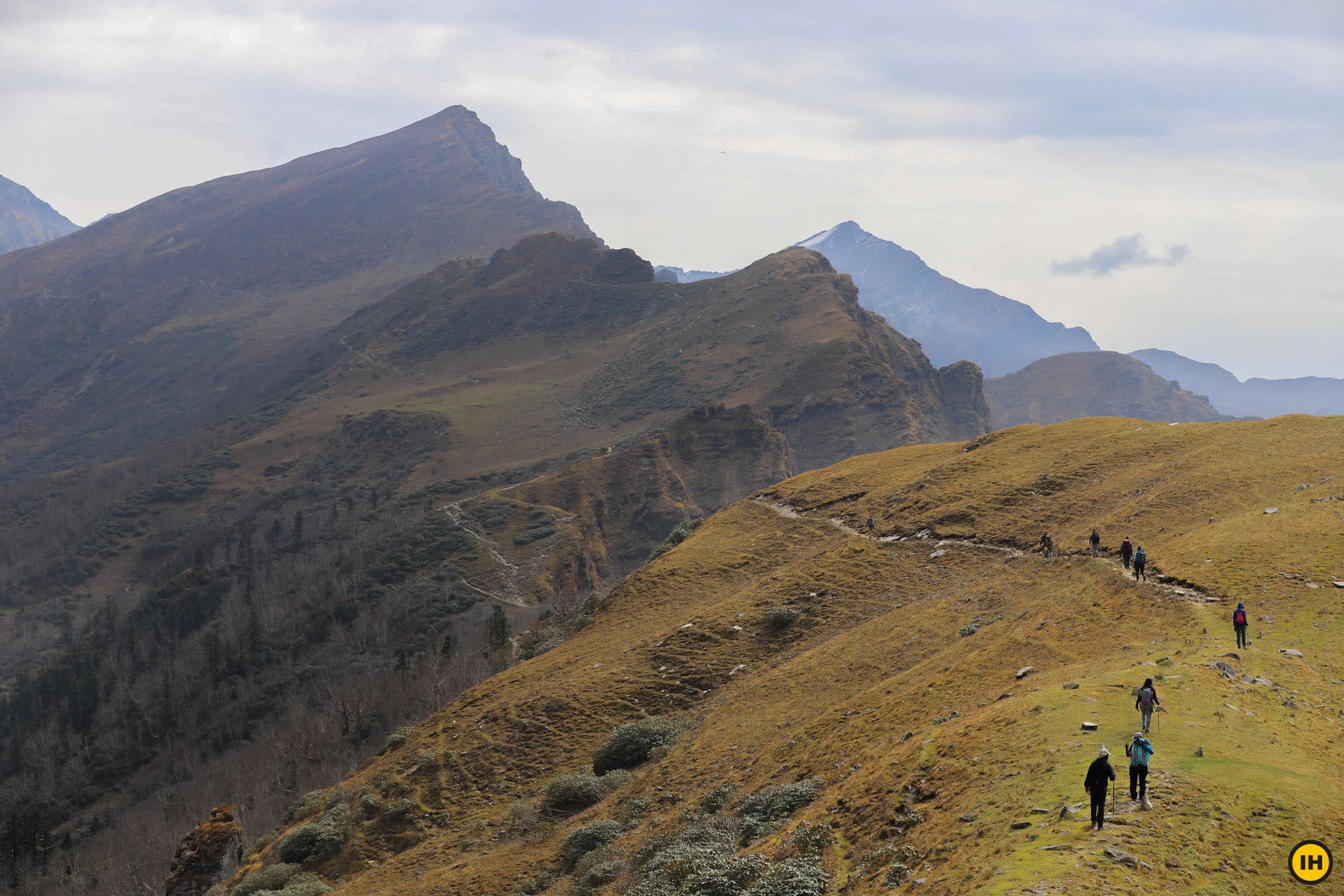
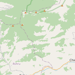
The trek begins from Janglik, a picturesque village known for its traditional wooden houses, terraced fields, and rich Himachali culture. As the trail climbs gradually through pine, oak, and rhododendron forests, trekkers are introduced to the natural beauty of the Pabbar Valley. One of the highlights of the route is Dayara Thach, an expansive alpine meadow considered among the most beautiful camping grounds in Himachal Pradesh. During summer, the meadows are covered with wildflowers while grazing livestock and shepherd camps add life to the landscape. The combination of cultural heritage and natural beauty creates an immersive trekking experience from the very beginning.
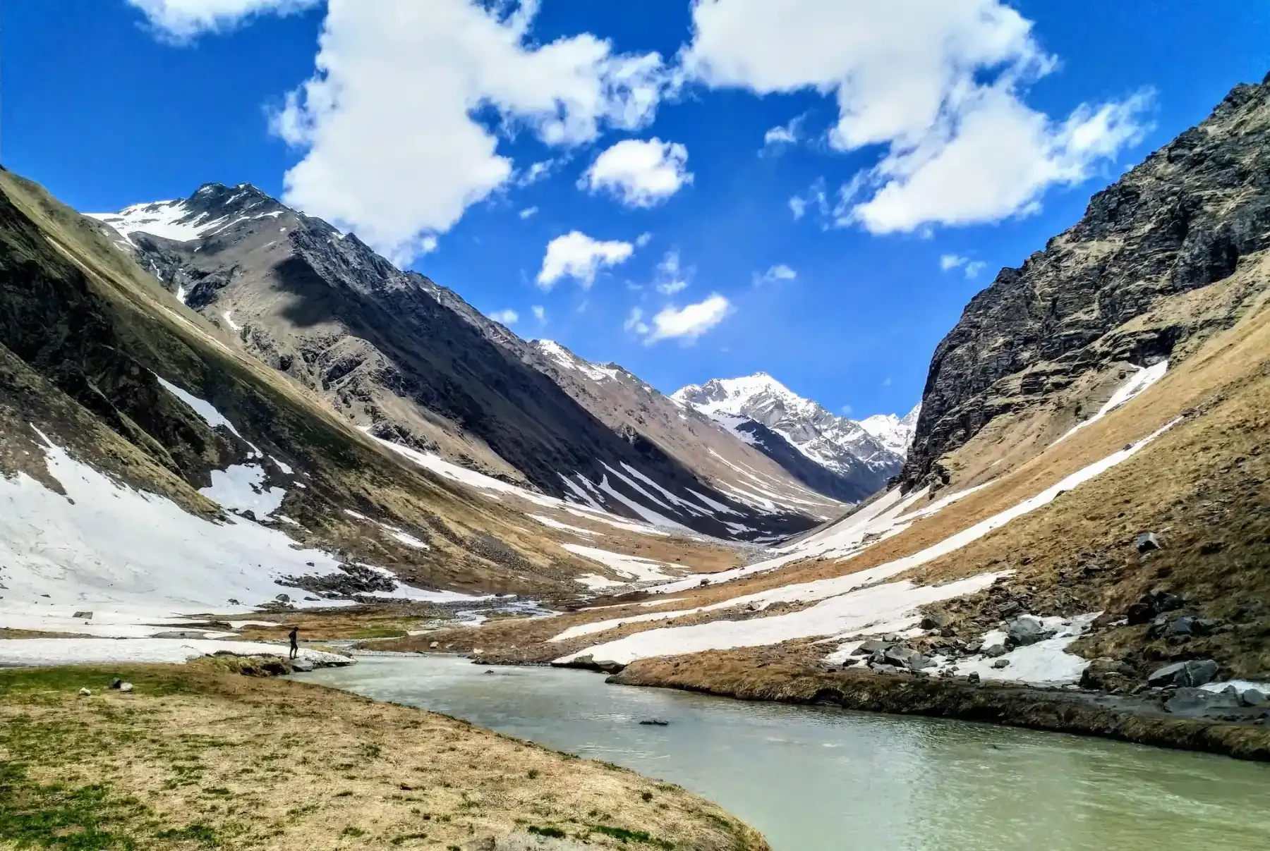
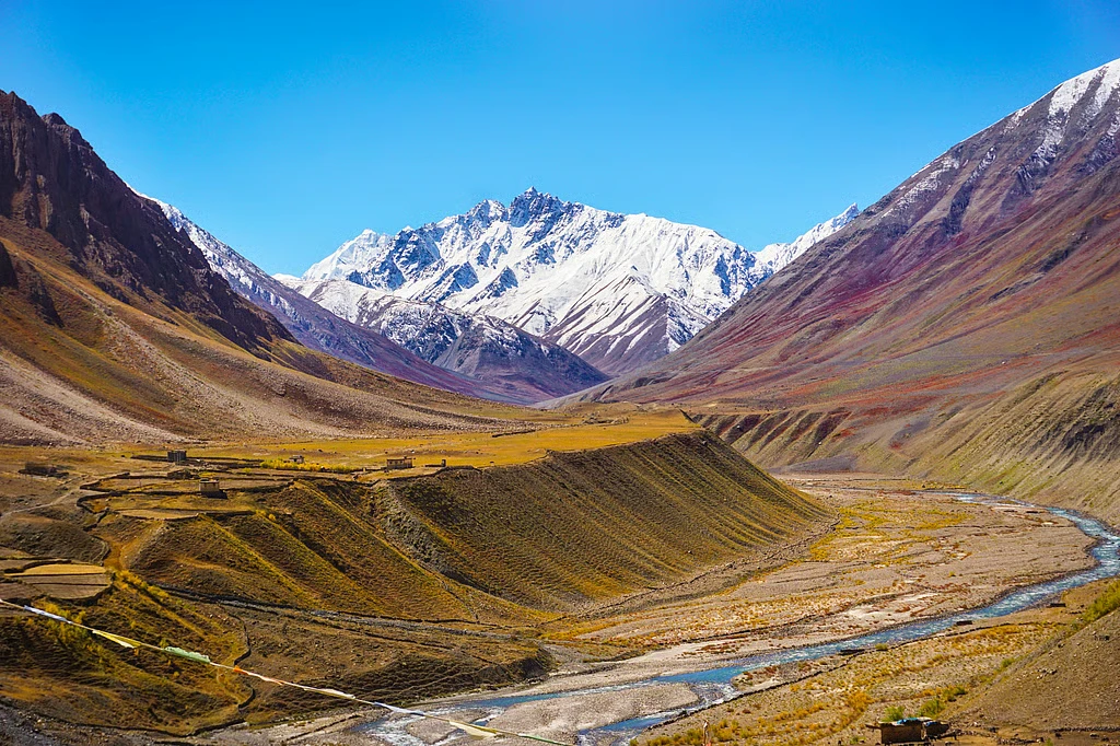
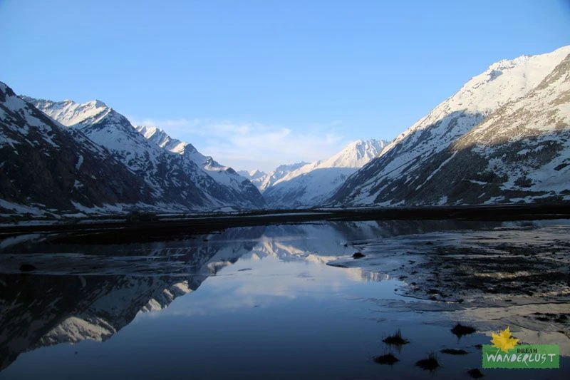
Chandranahan Lake and the Sacred Glacial Basin
Before approaching the pass, trekkers often visit Chandranahan Lake, a sacred high-altitude lake nestled amidst snowfields and rocky terrain. According to local beliefs, the lake holds spiritual significance and is associated with regional deities. The route to Chandranahan provides an opportunity for acclimatization while offering spectacular views of surrounding peaks and glacial landscapes. Crystal-clear waters, snow patches, and rugged mountain backdrops make the lake one of the trek's most memorable attractions. The gradual shift from meadows to alpine wilderness highlights the ecological diversity of the region.
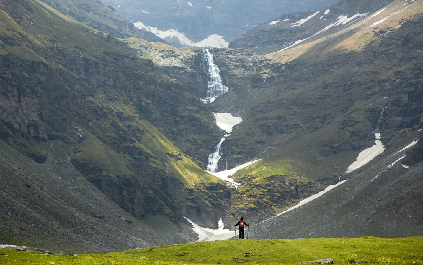
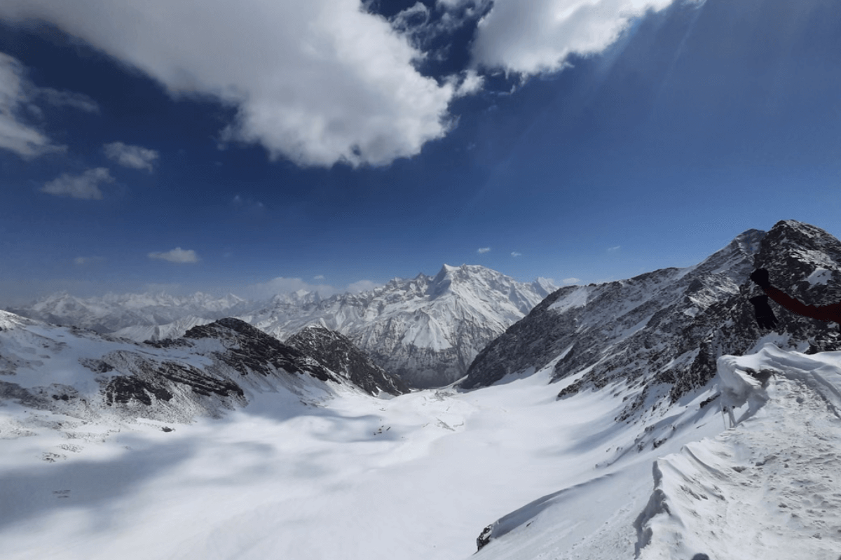
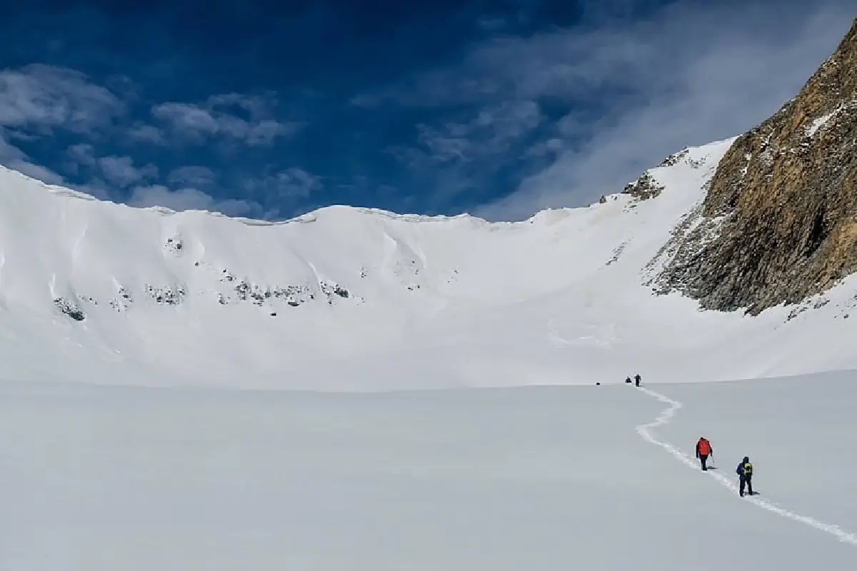
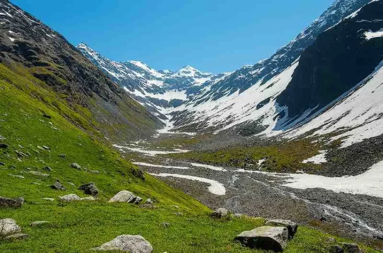
The Thrill of Crossing Buran Pass
The crossing of Buran Pass is the defining moment of the expedition. The ascent to the pass involves traversing snowfields, moraine sections, and steep mountain slopes before reaching the high point of the trek. From the top, trekkers enjoy panoramic views of snow-clad Himalayan ranges stretching across the horizon. The descent on the opposite side is particularly famous because it often involves negotiating steep snow slopes that can require controlled glissading or assistance from trekking guides during early season departures. This combination of challenge and excitement distinguishes Buran Ghati from many other Himalayan treks and provides a genuine sense of adventure.
Best Time to Visit and Trek Preparation
The best time to undertake the Buran Ghati Trek is from May to June and September to October. During these periods, weather conditions remain relatively stable and the pass is generally accessible. Early summer often features substantial snow near the pass, while autumn offers clearer skies and excellent mountain visibility. The trek is graded moderate to difficult because of its altitude, long trekking days, and technical sections near the pass. Participants should possess good fitness levels and ideally some previous trekking experience. Proper trekking gear, layered clothing, waterproof protection, and acclimatization are essential. For adventurers seeking one of the most complete Himalayan trekking experiences, Buran Ghati remains among the finest routes in Himachal Pradesh.