


Mantalai Lake Trek: Journey to the Sacred Source of the Parvati River
The Mantalai Lake Trek is one of the most rewarding high-altitude adventures in Himachal Pradesh, taking trekkers deep into the remote Parvati Valley of the Kullu district. Nestled at an altitude of approximately 4,100 meters, Mantalai Lake is believed to be the sacred origin of the Parvati River and holds immense spiritual significance in local mythology. Unlike the more crowded Himalayan routes, this trek offers a rare combination of alpine wilderness, glacier-fed streams, lush meadows, ancient shepherd trails, and breathtaking mountain landscapes. Starting from the famous village of Barshaini near Kasol, the trail gradually climbs through dense forests, traditional grazing grounds, and remote campsites before reaching the pristine waters of Mantalai Lake.
A Scenic Journey Through the Heart of Parvati Valley
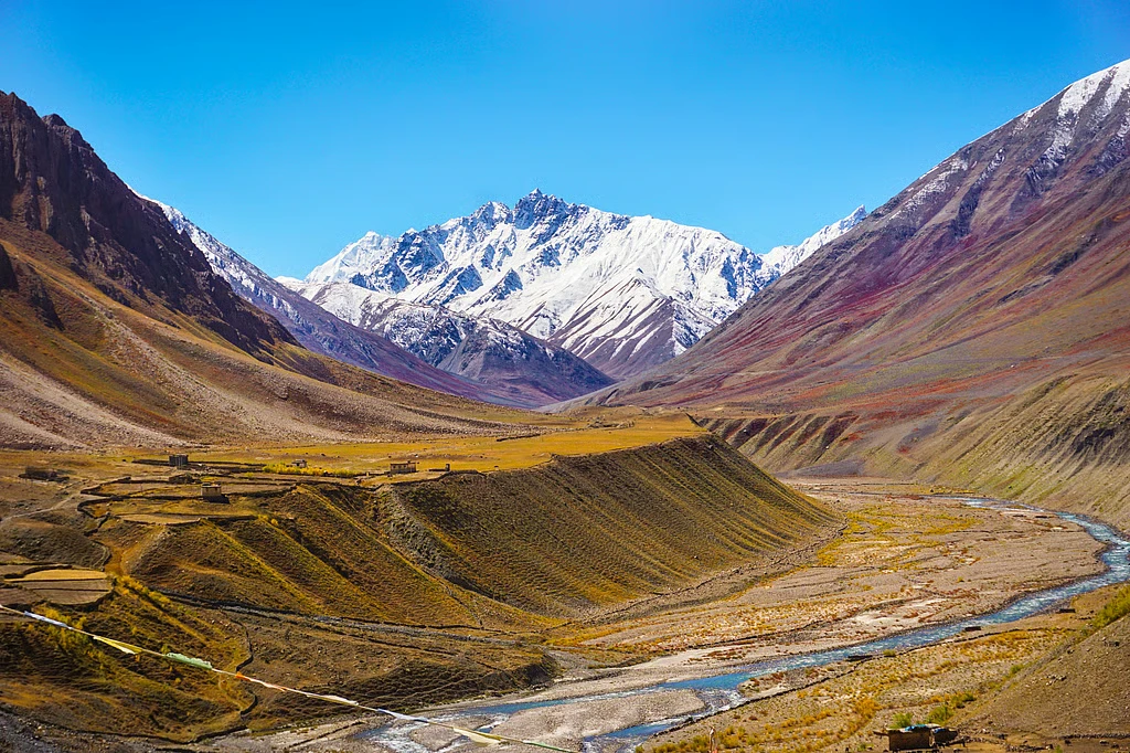
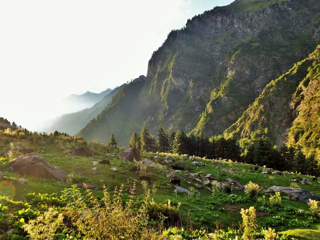
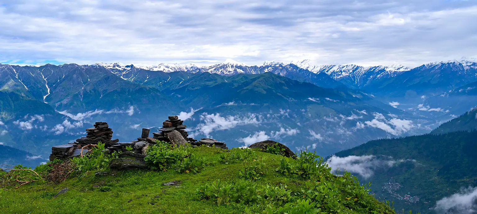
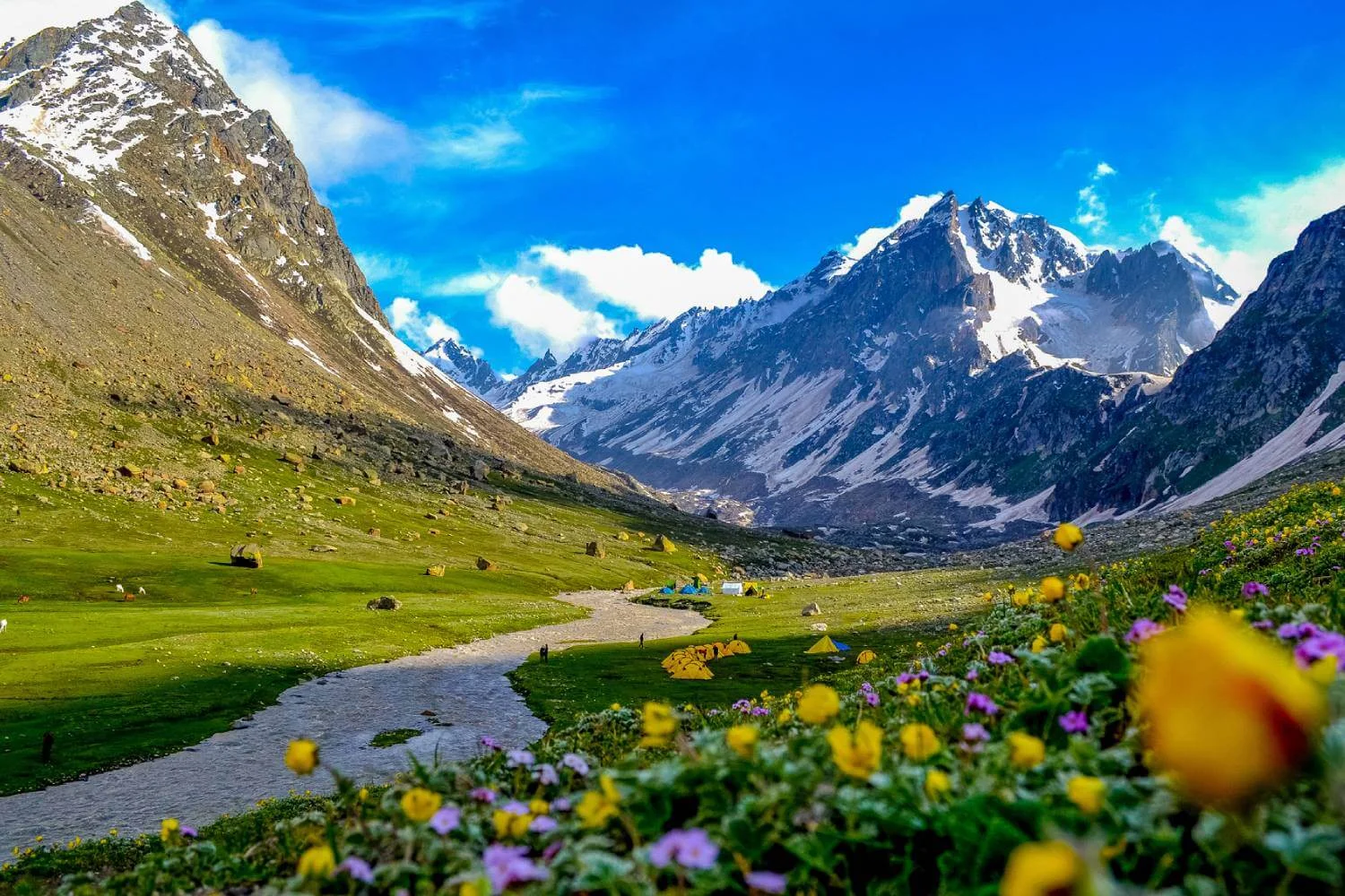
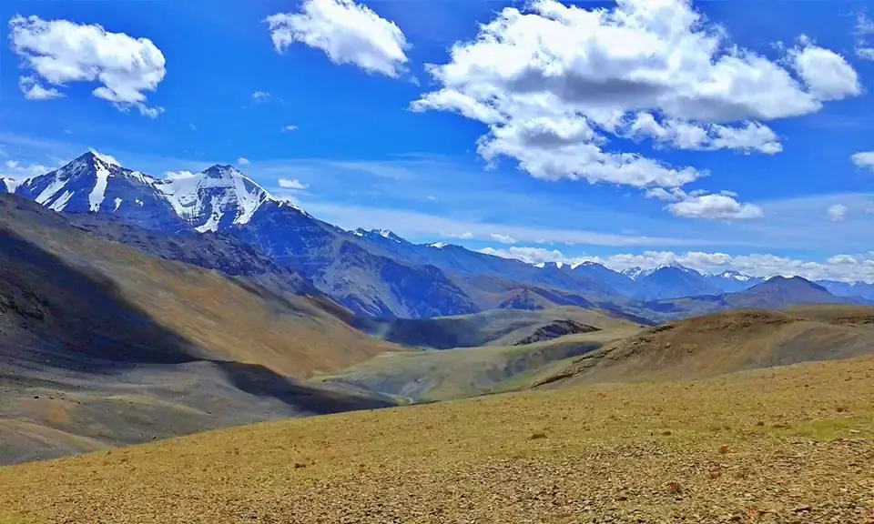
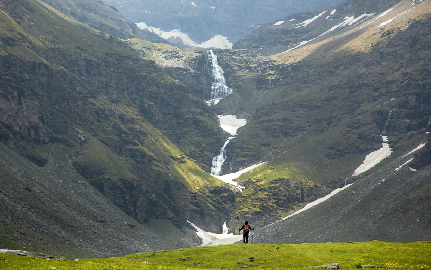
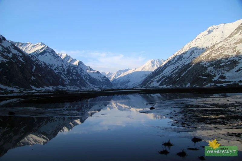
The trek begins in the lower reaches of Parvati Valley, a region renowned for its dramatic landscapes and rich cultural heritage. The initial trail passes through dense forests of pine, deodar, and birch, accompanied by the constant sound of the Parvati River. As trekkers gain elevation, the terrain opens into expansive alpine meadows where shepherds traditionally graze their livestock during summer. Campsites such as Kheerganga, Tunda Bhuj, and Thakur Kuan provide magnificent views of surrounding snow-covered peaks. Throughout the route, crystal-clear streams descend from glaciers, creating a constantly changing and vibrant mountain environment. The gradual transformation from forested valleys to rugged high-altitude terrain makes every stage of the journey visually distinct.
Sacred Significance and Himalayan Legends
Mantalai Lake is deeply connected with Hindu mythology and local folklore. According to legend, this serene lake is associated with Lord Shiva and Goddess Parvati and is believed to be the place where their divine union was celebrated. The lake is also considered the source of the Parvati River, making it a revered destination for pilgrims and spiritual seekers. The tranquil atmosphere surrounding the lake, combined with the dramatic backdrop of glaciers and towering peaks, creates a sense of isolation and reverence rarely found on more commercial trekking routes. Many trekkers describe the final approach to Mantalai as one of the most spiritually uplifting experiences in the Himalayas.
High-Altitude Landscapes and Wildlife
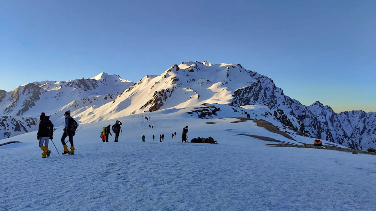
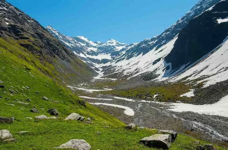
As the trail approaches Mantalai Lake, the environment becomes increasingly alpine and rugged. Trekkers cross glacial moraines, boulder sections, and high-altitude meadows dotted with seasonal wildflowers during summer. The region supports diverse Himalayan wildlife, including Himalayan ibex, blue sheep, marmots, and numerous high-altitude bird species. During clear weather, panoramic views of surrounding peaks and glaciers dominate the horizon. The area remains snow-covered for much of the year, with the trekking season generally restricted to the warmer months when trails become accessible. The pristine condition of the ecosystem makes responsible trekking practices especially important.
Why Mantalai Lake Trek Stands Out
What distinguishes the Mantalai Lake Trek from many Himalayan treks is its blend of natural beauty, cultural significance, and relative solitude. Unlike heavily trafficked trekking circuits, this route offers a genuine wilderness experience with minimal commercial infrastructure beyond the lower valley. Trekkers experience changing ecosystems, remote campsites, sacred landscapes, and dramatic mountain scenery within a single expedition. The trek is moderately challenging due to altitude gain and long walking days, but the rewards are exceptional. Reaching the calm waters of Mantalai Lake after days of trekking through untouched Himalayan terrain provides a profound sense of accomplishment. For those seeking a less crowded yet highly scenic adventure in Himachal Pradesh, Mantalai Lake remains one of the finest trekking experiences in the Indian Himalayas.