


Pin Parvati Pass Trek: A Grand Himalayan Crossing Between Two Worlds
The Pin Parvati Pass Trek is one of the most challenging and rewarding high-altitude treks in the Indian Himalayas. Connecting the lush green Parvati Valley of Kullu with the stark, cold desert landscape of Spiti, this trek is a true trans-Himalayan crossing. Rising to an altitude of around 5319 meters, the route is long, remote, and physically demanding, but it delivers an unmatched sense of scale and transition. The trek is not about reaching a single viewpoint or summit. It is about witnessing the Himalayas change character completely over the course of several days, from dense forests and roaring rivers to glaciers, snowfields, and barren mountains.
The Route and the Concept of a True Crossover Trek
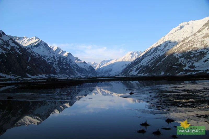
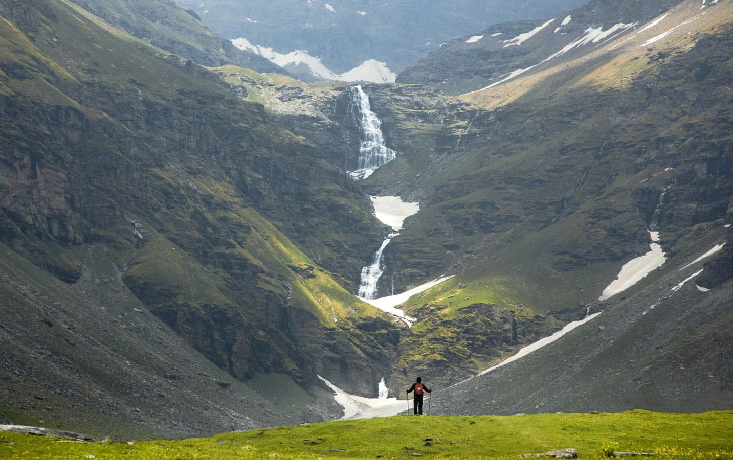
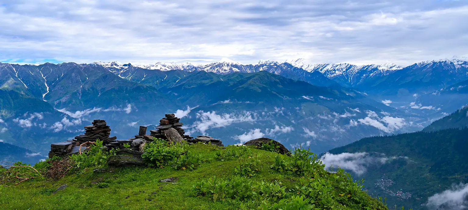
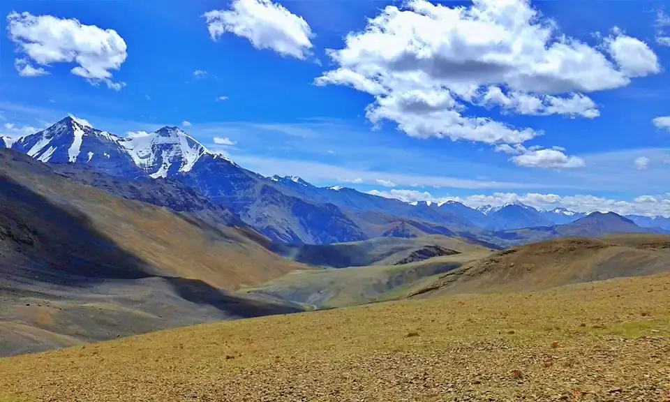
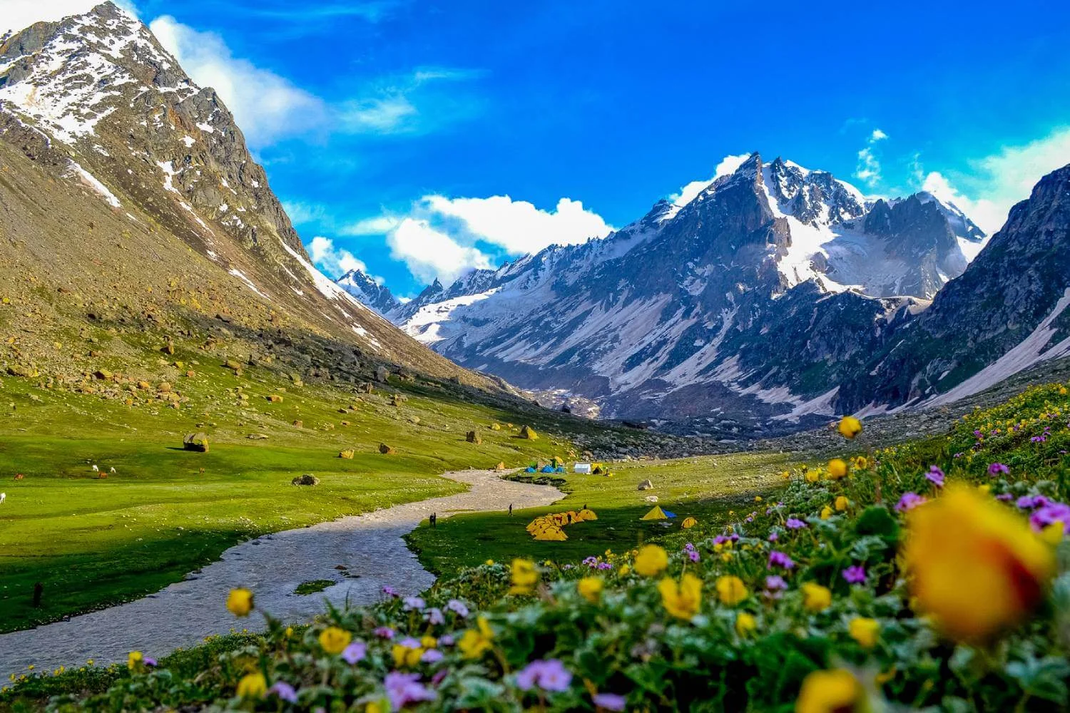
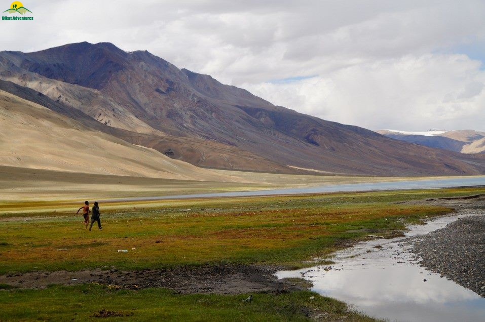
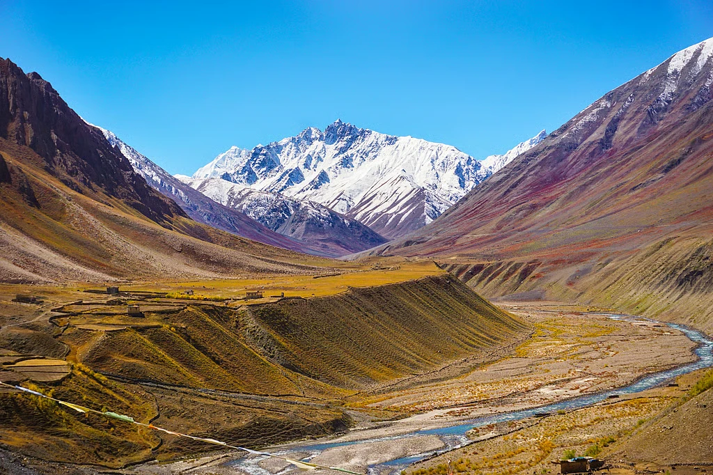
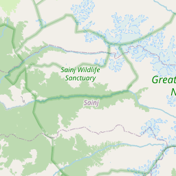
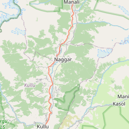
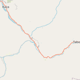
The Pin Parvati Pass Trek starts from Barshaini, near the popular town of Kasol, but quickly leaves civilization behind. The early days follow the Parvati River upstream through thick pine forests, small meadows, and shepherd trails. As altitude increases, the valley narrows and human presence disappears. The route follows the natural flow of the land rather than a constructed trail, which gives the trek a raw and exploratory feel. Crossing the Pin Parvati Pass itself marks a dramatic transition. On one side lies the green, water-rich Parvati Valley, while the descent opens into the arid, high-altitude terrain of the Pin Valley in Spiti. Few treks in India offer such a sharp geographical and ecological contrast.
Terrain, Glaciers, and High-Altitude Landscape
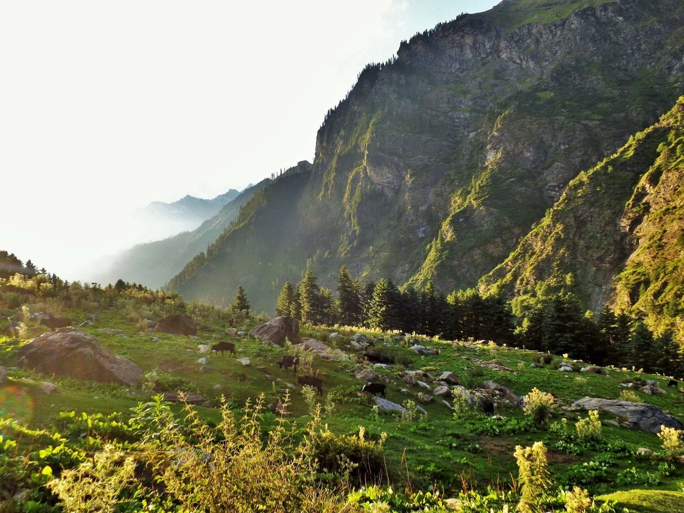
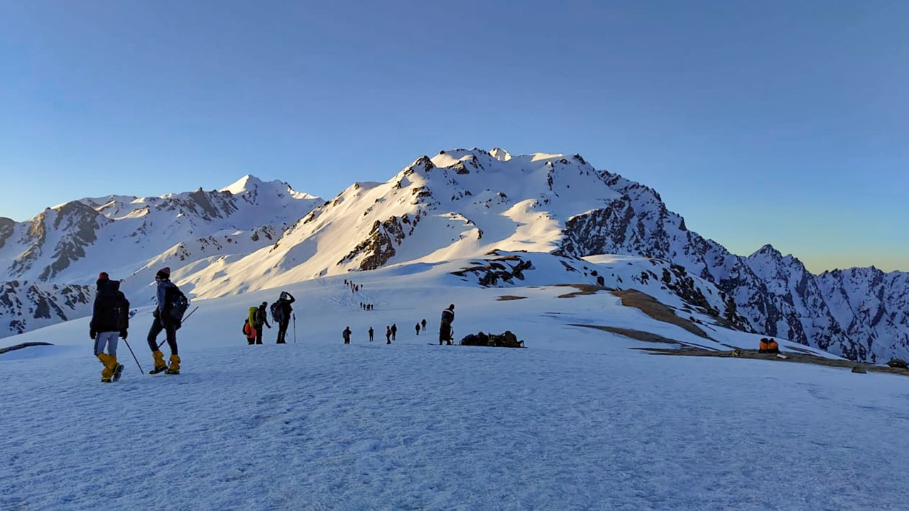
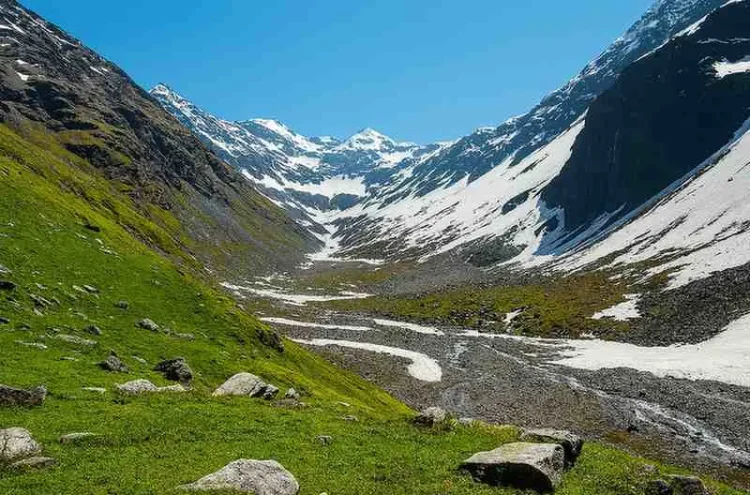
The terrain on the Pin Parvati Pass Trek evolves constantly. Lower sections are forested and relatively gentle, with grassy campsites and river crossings. As the trek progresses, forests give way to alpine terrain, where vegetation becomes sparse and the ground rocky. Glacial moraines, boulder zones, and snowfields dominate the upper reaches. The approach to the pass involves walking on glaciers and steep snow slopes, often requiring early starts to ensure firm snow conditions. The descent into Pin Valley is long and rugged, crossing scree slopes and dry riverbeds. This variety of terrain demands strong footwork, balance, and endurance throughout the trek.
Weather Conditions and Best Time to Attempt the Trek
The Pin Parvati Pass Trek has a short and strict weather window. July to September is considered the best period, as snow melts enough to make the pass accessible while weather remains relatively stable. Even during this window, conditions can change quickly. Afternoon snowfall or rain is common near the pass, and nights at high camps are extremely cold. Daytime temperatures vary widely depending on altitude and sun exposure. Early season attempts may encounter heavy snow, while late season treks risk sudden storms. Accurate weather judgment and buffer days are critical for safety on this route.
Difficulty Level and Required Experience
Pin Parvati Pass is classified as a difficult trek and is not suitable for beginners. The length of the trek, combined with high altitude, glacial travel, and remote conditions, requires prior high-altitude trekking experience. Trekkers should be comfortable walking for long hours over uneven terrain and carrying their own gear if required. Acclimatization is built into the itinerary, but physical fitness alone is not enough. Mental resilience plays a major role, especially during cold mornings, long days, and unpredictable weather. This trek tests patience, decision-making, and adaptability as much as physical strength.
Why Pin Parvati Pass Is Considered a Legendary Trek
Pin Parvati Pass has earned its legendary status because it represents the purest form of Himalayan trekking. It is remote, demanding, and deeply immersive. The trek does not rely on frequent villages or easy exit routes. Instead, it offers solitude, scale, and a sense of expedition rarely found on more accessible trails. Completing the trek feels less like finishing a route and more like crossing a natural boundary between two mountain worlds. For experienced trekkers seeking a serious challenge and a transformative journey, Pin Parvati Pass stands as one of the most iconic treks in the Indian Himalayas.