


Phulara Ridge Trek: Walking the Endless Skyline of the Garhwal Himalayas
The Phulara Ridge Trek is one of the rare ridge walks in the Indian Himalayas where trekkers spend hours walking along an extended high-altitude crest. Located in the Govind Wildlife Sanctuary region of Uttarakhand near Sankri village, this trek offers a unique experience of traversing long open ridgelines with uninterrupted panoramic views. Rising to an altitude of about 3700 meters, Phulara Ridge is not about reaching a dramatic summit but about enjoying the continuous sense of elevation and exposure. The trek combines dense forests, alpine meadows, traditional Himalayan villages, and vast mountain vistas, making it both visually rewarding and physically engaging.
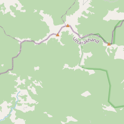
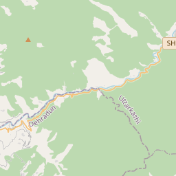
The Route and Approach to the Ridge
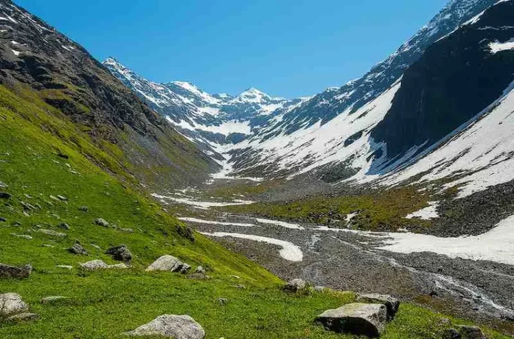
The trek begins from Sankri, a small but well-known trekking base in the Tons Valley. From here, the trail gradually climbs through forest paths toward remote settlements such as Juda Ka Talab or nearby campsites depending on the chosen itinerary. The initial days focus on gaining altitude steadily, allowing trekkers to adapt to thinner air. As the trek progresses, forest sections open into expansive clearings and eventually lead to the defining feature of the route — the long Phulara Ridge itself. Unlike summit treks where the highlight is a short final ascent, this trek builds anticipation as trekkers approach the ridge over several days.
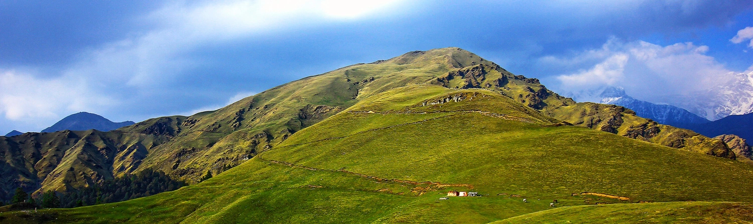
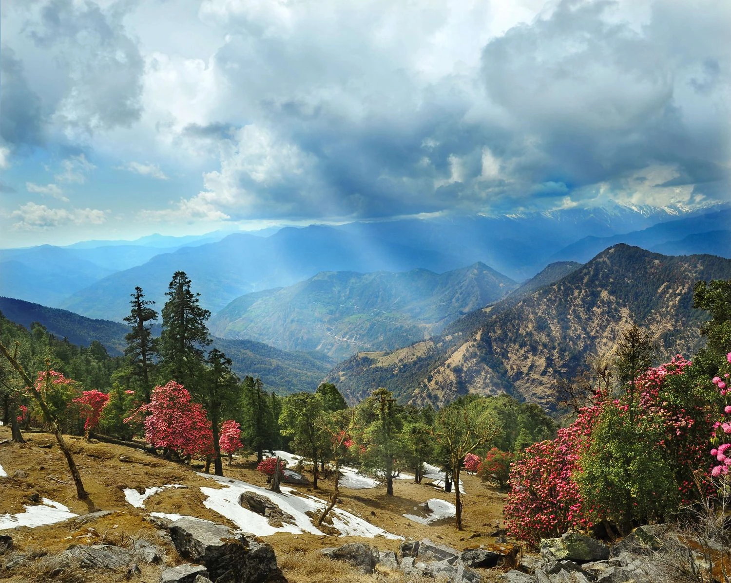
Forests, Meadows, and Seasonal Transitions
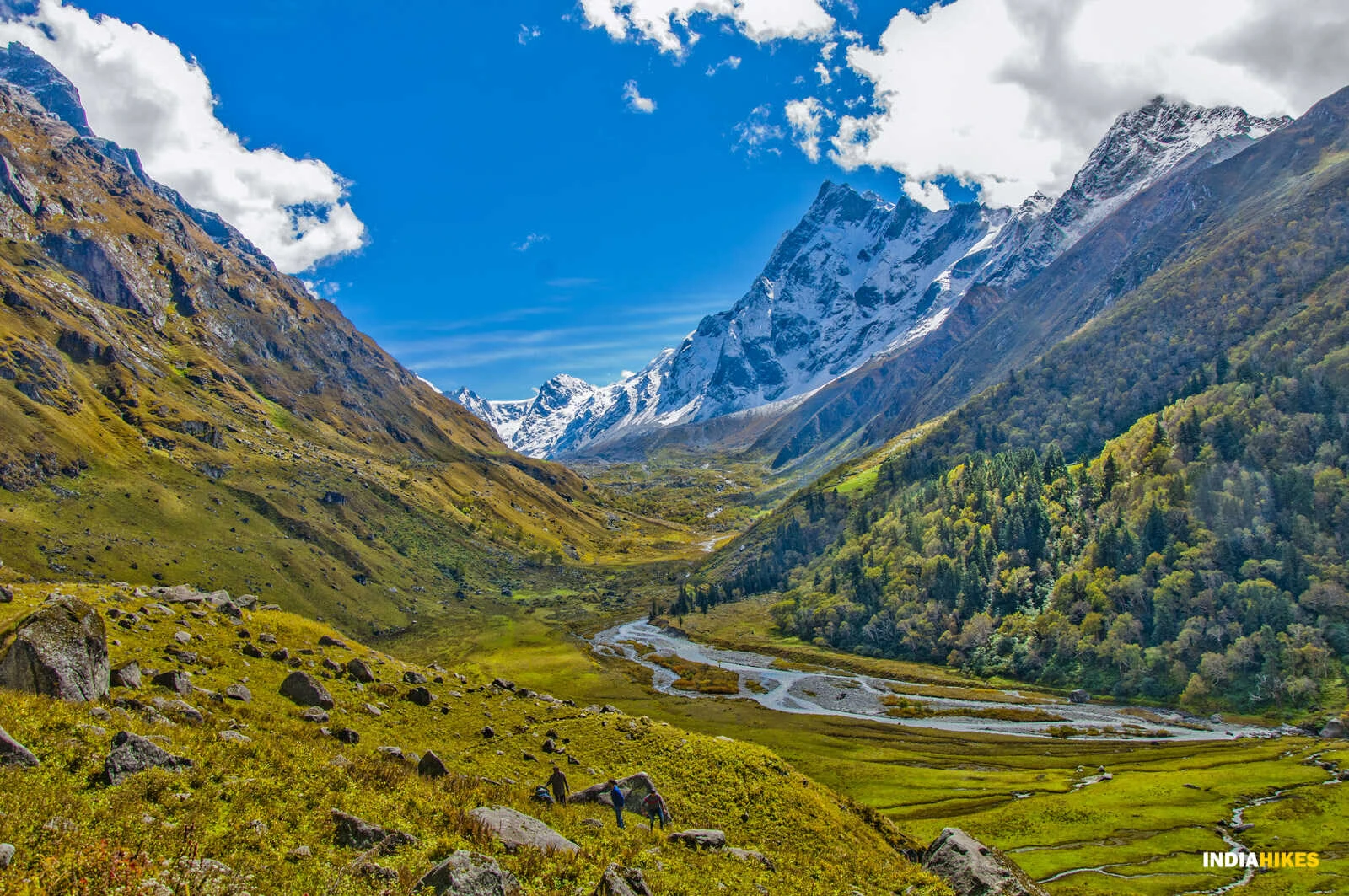
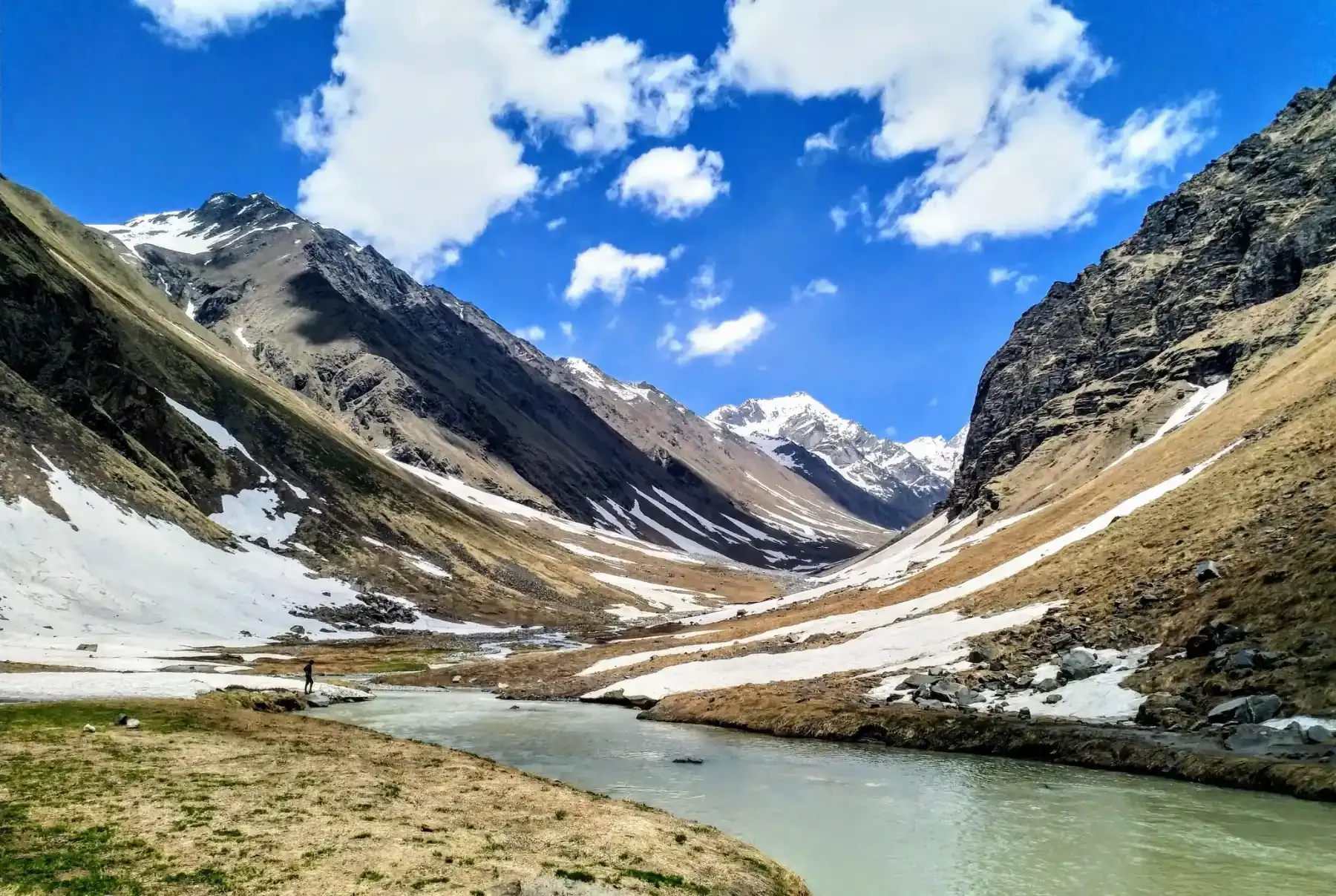
The lower sections of the Phulara Ridge Trek pass through thick forests of pine, maple, and rhododendron. In spring and early summer, rhododendron blooms add vibrant color to the landscape, while autumn offers crisp air and golden hues. Above the tree line, trekkers encounter wide alpine meadows that stretch across rolling slopes. These meadows are used by shepherds during grazing seasons and are dotted with wildflowers during warmer months. The gradual shift from forest to meadow to ridge creates a layered trekking experience that keeps the journey visually engaging.
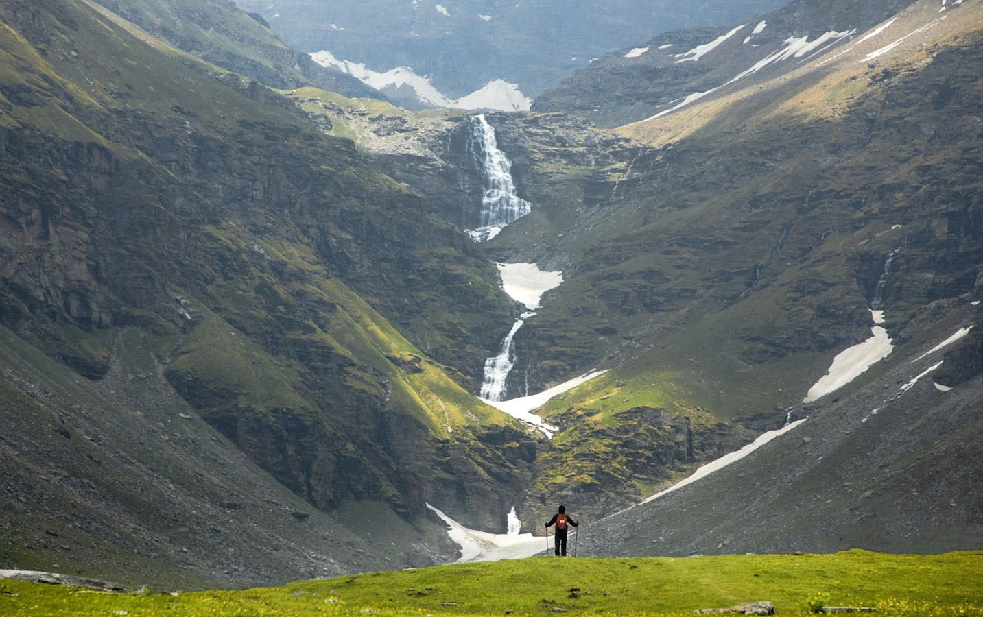
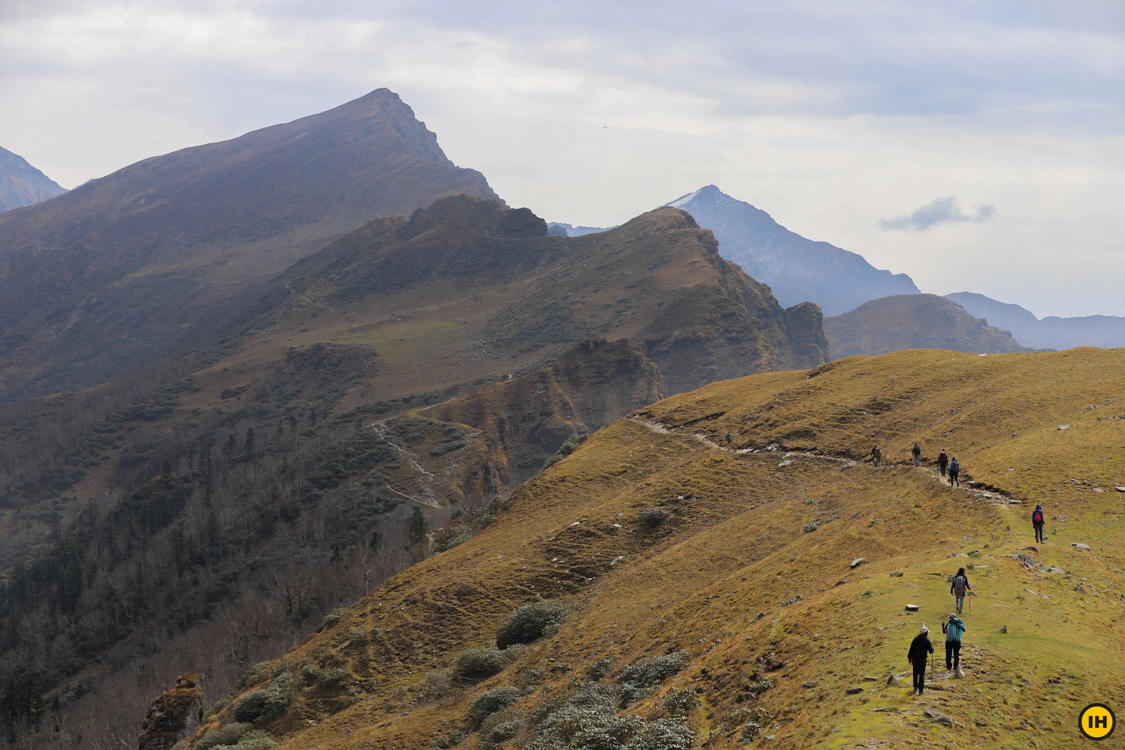
Walking the Ridge and Panoramic Views
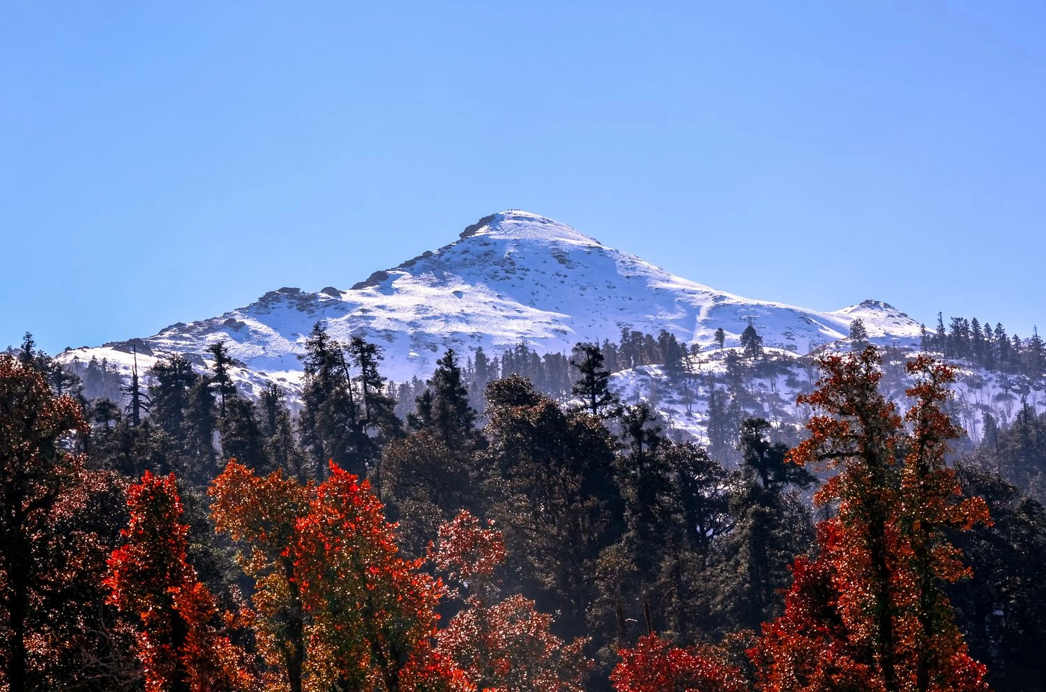
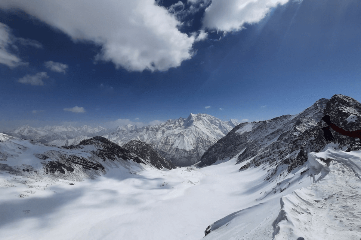
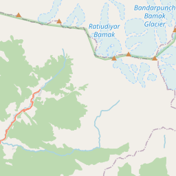
The highlight of the trek is the ridge walk itself, which can extend for several kilometers depending on the route taken. The trail runs along a narrow crest with steep slopes falling away on either side, offering a constant sense of exposure and openness. From this vantage point, trekkers can see prominent peaks such as Swargarohini, Bandarpoonch, and Black Peak in clear weather. The ridge is often covered with grass and small shrubs rather than rock or snow, making it accessible yet dramatic. This extended high-altitude walk is rare in Himalayan trekking and gives the Phulara Ridge Trek its distinct identity.
Weather Conditions and Best Time to Visit
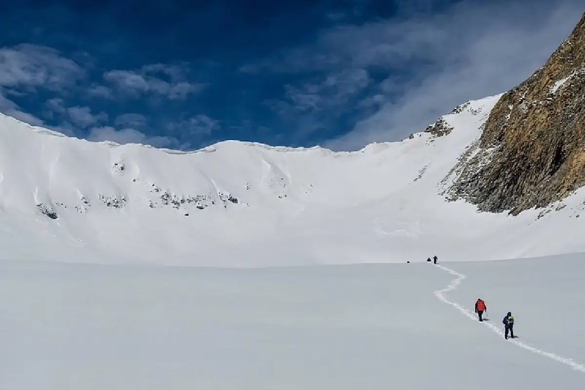
The ideal trekking seasons for Phulara Ridge are late spring and autumn. May and June provide moderate temperatures and blooming landscapes, while September and October offer stable weather and excellent visibility. Monsoon months bring lush greenery but also muddy trails and limited mountain views. Winter snowfall makes the ridge inaccessible and transforms the region into a challenging high-altitude environment. Even during favorable months, strong winds can be experienced on the ridge, requiring appropriate clothing and planning.
Difficulty Level and Trekking Profile
The Phulara Ridge Trek is generally classified as moderate. While it does not involve technical climbing, the altitude, continuous ridge walking, and exposure demand good fitness and balance. Beginners with preparation can attempt this trek, but prior experience at moderate altitude is beneficial. The trek is ideal for those who want to experience Himalayan ridge walking, wide mountain views, and a relatively less crowded route compared to popular summit treks. It offers a sense of flow and continuity that makes the journey memorable beyond the destination.