


Meesapulimala Trek: Conquer the Second Highest Peak in the Western Ghats
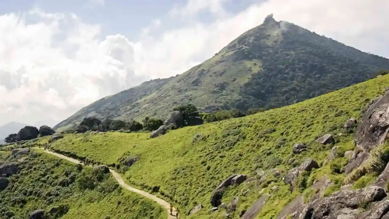
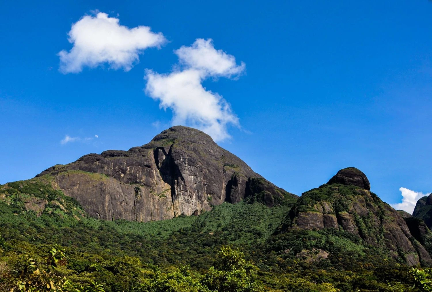
Meesapulimala Trek is one of the most breathtaking high-altitude trekking experiences in South India. Located in the Idukki district of Kerala near Munnar, Meesapulimala stands at an elevation of approximately 2,640 meters, making it the second-highest peak in the Western Ghats after Anamudi. Famous for its rolling grasslands, mist-covered ridges, shola forests, and spectacular mountain panoramas, the trek offers a unique opportunity to explore one of the most pristine ecosystems in the Western Ghats. The name "Meesapulimala" translates roughly to "the mountain of the tiger with whiskers," referring to the characteristic shape of the peak's ridges. Unlike many crowded tourist attractions around Munnar, the trek takes participants deep into protected landscapes managed by the Kerala Forest Department and Kerala Forest Development Corporation. The route traverses a series of undulating ridges that offer uninterrupted views of tea estates, cloud forests, distant valleys, and neighboring peaks stretching toward Tamil Nadu. For nature enthusiasts, photographers, and trekkers seeking a high-altitude adventure in southern India, Meesapulimala provides an unforgettable experience.
The Unique Ecosystem of the Western Ghats
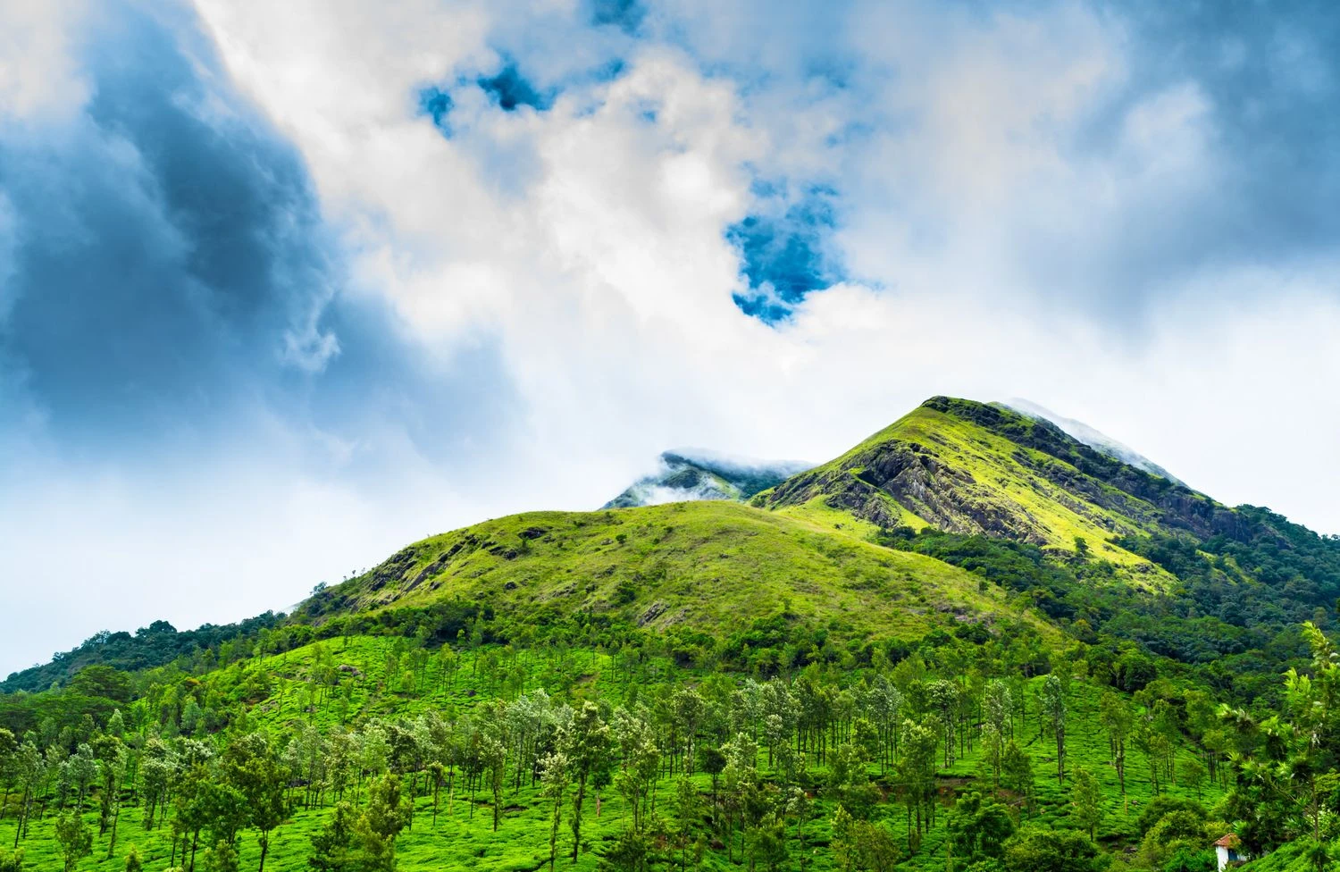
The Meesapulimala region forms part of the globally recognized Western Ghats biodiversity hotspot. Trekkers pass through a fascinating mosaic of grasslands and shola forests, ecosystems that support numerous endemic plant and animal species. During certain years, the hills may witness the blooming of Neelakurinji flowers, which famously blossom once every twelve years and transform entire slopes into shades of blue. The region also supports species such as Nilgiri tahr, gaur, sambar deer, and a rich variety of birdlife. The cool climate, clean mountain air, and ecological diversity make the trek particularly rewarding for wildlife enthusiasts and nature lovers.
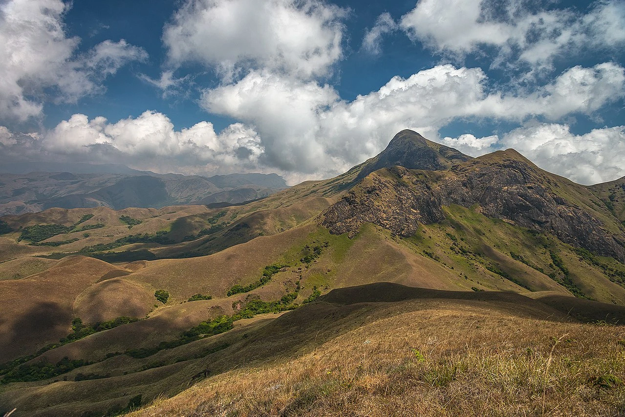
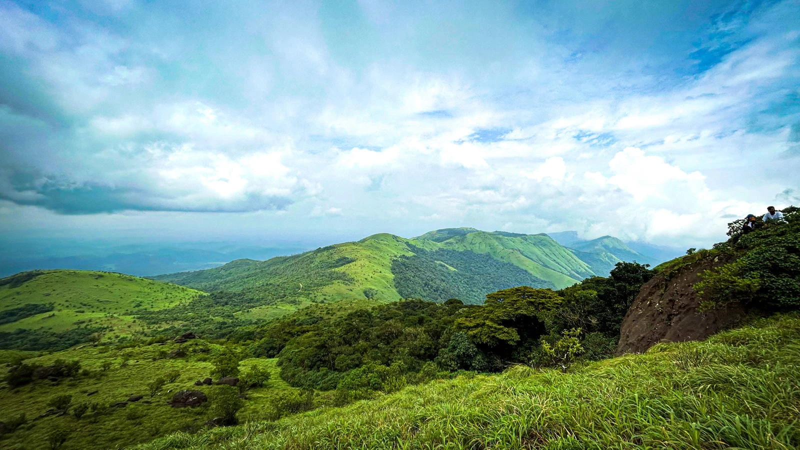
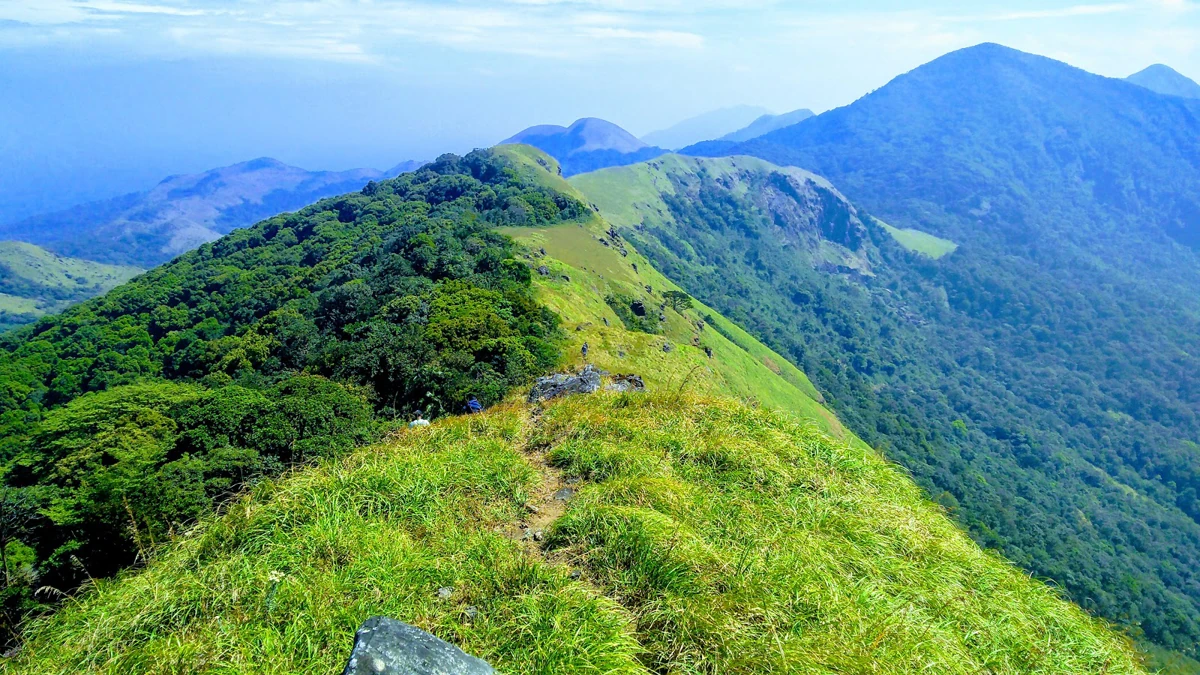
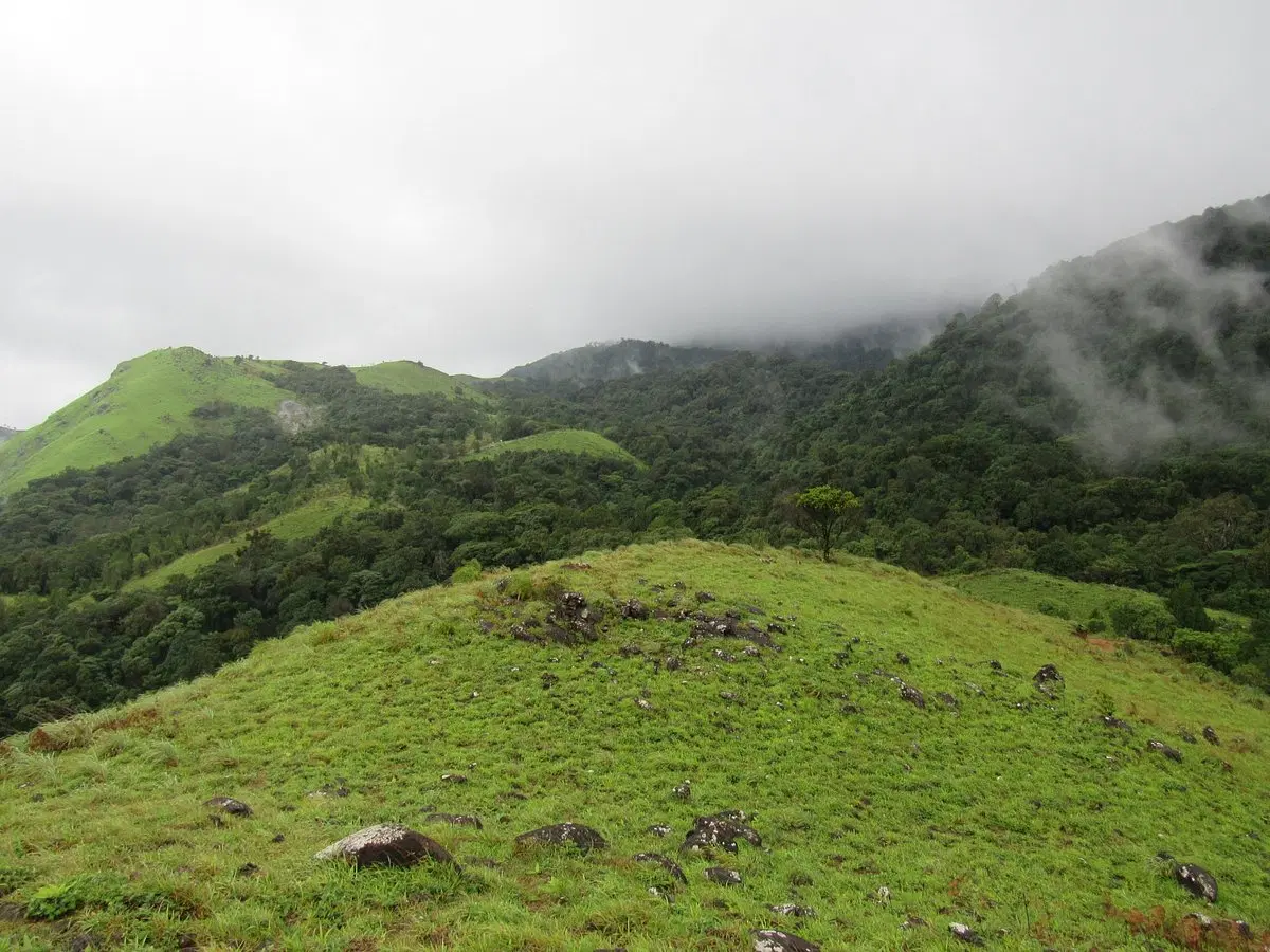
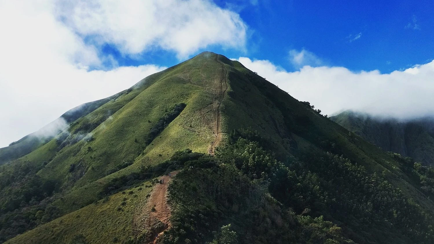
Rolling Ridges and Endless Mountain Views
One of the defining features of the trek is its spectacular ridgeline route. Unlike steep Himalayan climbs, Meesapulimala offers a sequence of rolling ascents and descents across grassy mountains that stretch as far as the eye can see. Trekkers frequently find themselves walking above the clouds as mist drifts through the valleys below. The ridges provide panoramic views of Munnar's tea plantations, the Anaimalai Hills, and distant mountain ranges extending into Tamil Nadu. Sunrise treks are especially popular because the early morning light creates dramatic contrasts across the landscape and often reveals spectacular cloud inversions.
Best Time to Visit and Trek Preparation
The ideal time for the Meesapulimala Trek is from September to March when temperatures remain pleasant and visibility is generally excellent. Post-monsoon months offer lush green landscapes, while winter mornings provide crisp weather and clear views from the summit. The trek is graded moderate and is suitable for beginners with a reasonable level of fitness. Since the route lies within protected forest areas, advance booking and permits are usually required through authorized agencies. Trekkers should carry comfortable trekking shoes, warm layers, rain protection, drinking water, and sun protection. For those looking to experience the finest mountain scenery that Kerala has to offer, Meesapulimala remains one of the most rewarding trekking destinations in South India.