


Agasthyakoodam Trek: Journey Through Kerala's Most Sacred Wilderness
Agasthyakoodam Trek is one of the most rewarding and ecologically significant trekking experiences in South India. Located within the Agasthyamalai Biosphere Reserve in the southern Western Ghats of Kerala, this trek combines breathtaking mountain scenery, dense tropical forests, rare medicinal plants, and deep cultural significance. Standing at approximately 1,868 meters above sea level, Agasthyakoodam is the second-highest peak in Kerala and forms an important part of one of the world's biodiversity hotspots.
Unlike many Himalayan treks that attract visitors throughout the year, Agasthyakoodam remains a highly regulated trekking destination. Entry is permitted only during a limited trekking season, helping preserve the fragile ecosystem. The trek attracts nature enthusiasts, wildlife lovers, botanists, photographers, and experienced trekkers seeking an authentic wilderness experience away from commercial trekking routes.
A Trek Through the Agasthyamalai Biosphere Reserve
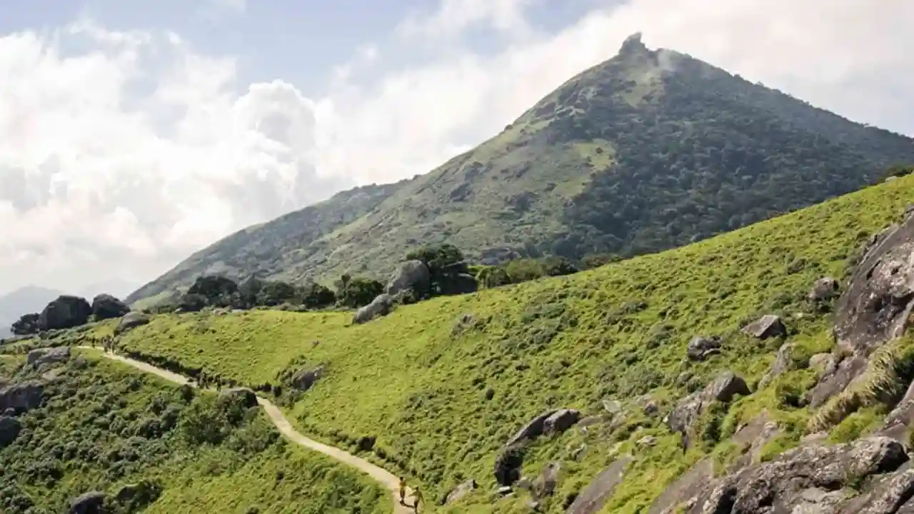
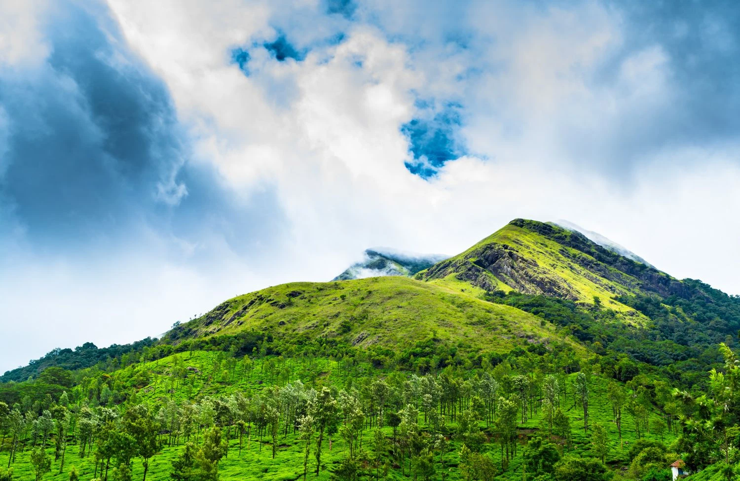
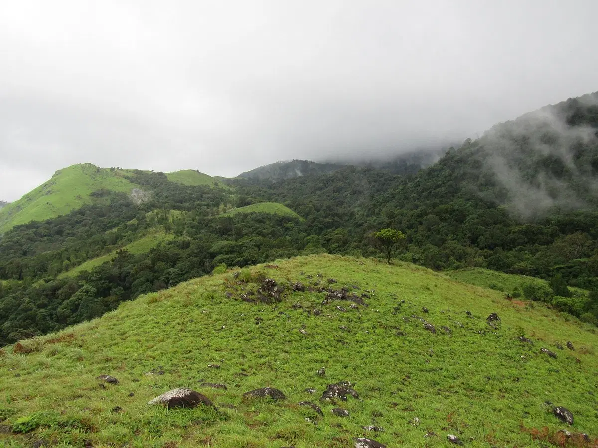
The trail begins from Bonacaud near Thiruvananthapuram and passes through protected forests that are home to exceptional biodiversity. Trekkers walk through evergreen forests, grasslands, river crossings, bamboo groves, and shola patches. The Agasthyamalai Biosphere Reserve is known for hosting thousands of plant species, including many endemic medicinal herbs used in traditional Ayurvedic practices. The route offers a rare opportunity to experience one of India's most pristine forest ecosystems while observing the conservation efforts that help protect this unique landscape.
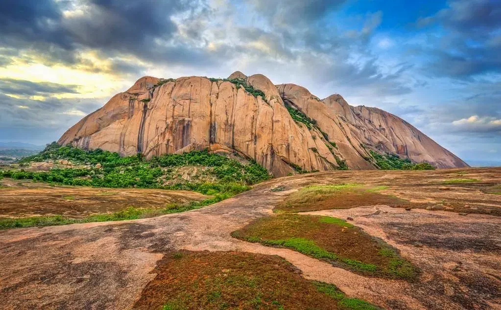
Wildlife, Forests and Natural Beauty
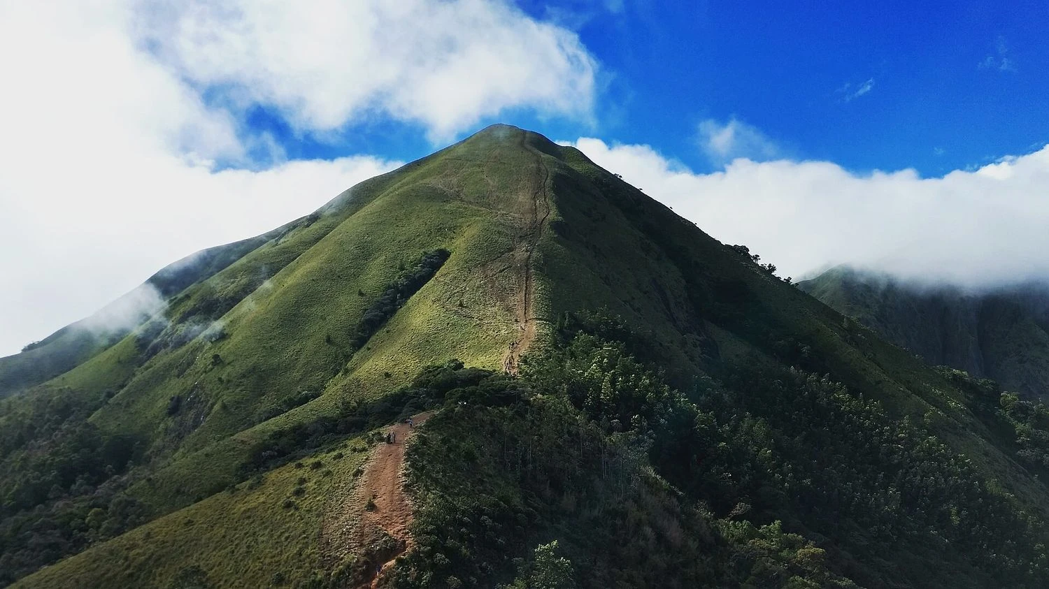
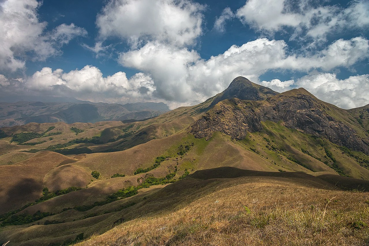
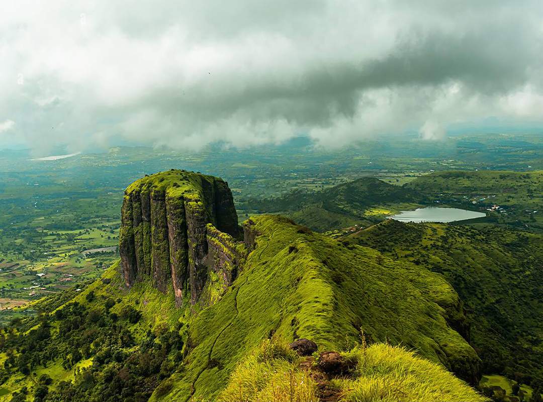
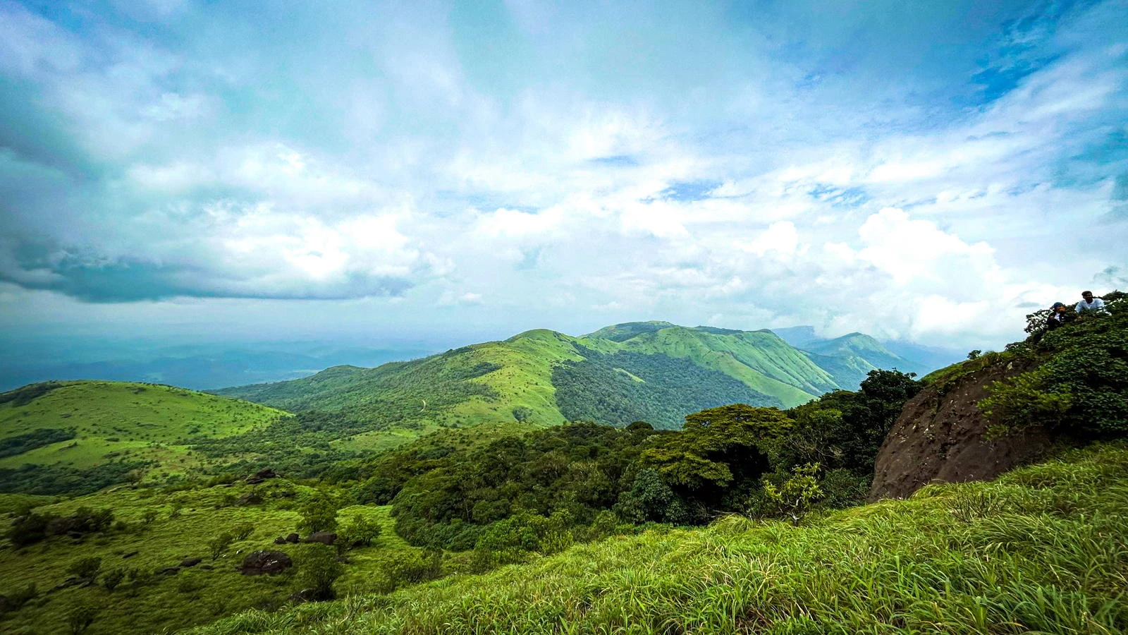
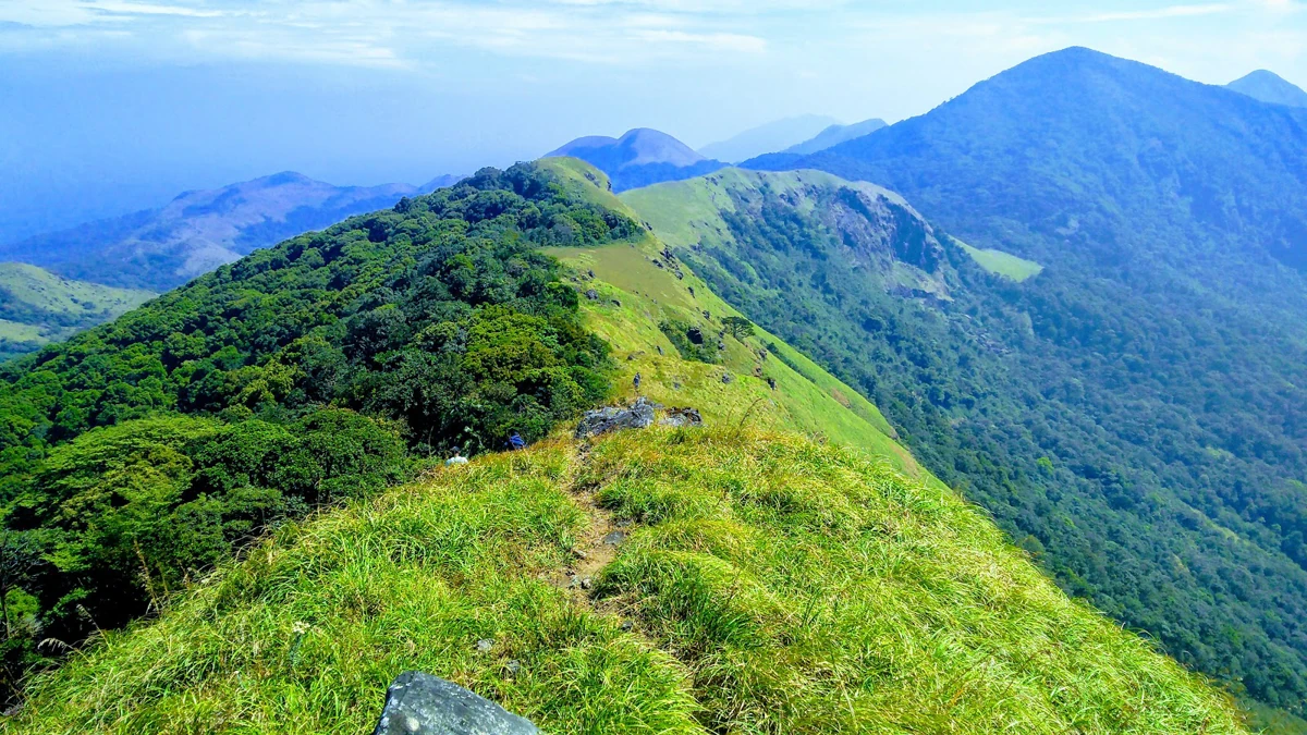
One of the highlights of the Agasthyakoodam Trek is its remarkable biodiversity. Trekkers may encounter various species of birds, butterflies, reptiles, and mammals native to the Western Ghats. The forests support lion-tailed macaques, Nilgiri langurs, giant squirrels, and numerous endemic bird species. During the trek, the sounds of flowing streams, forest birds, and rustling leaves create a truly immersive wilderness experience. The changing terrain keeps the journey engaging, moving from dense forests to open ridges that reveal expansive mountain views.
The Sacred Significance of Agasthyakoodam
Agasthyakoodam is named after Sage Agastya, one of the revered sages in Hindu tradition. Near the summit stands a statue dedicated to the sage, making the peak an important pilgrimage destination for many visitors. The mountain holds spiritual significance throughout southern India and has been associated with meditation, traditional knowledge, and ancient medicinal practices for centuries. Reaching the summit provides not only a physical achievement but also a deeper connection with the cultural heritage of the region.
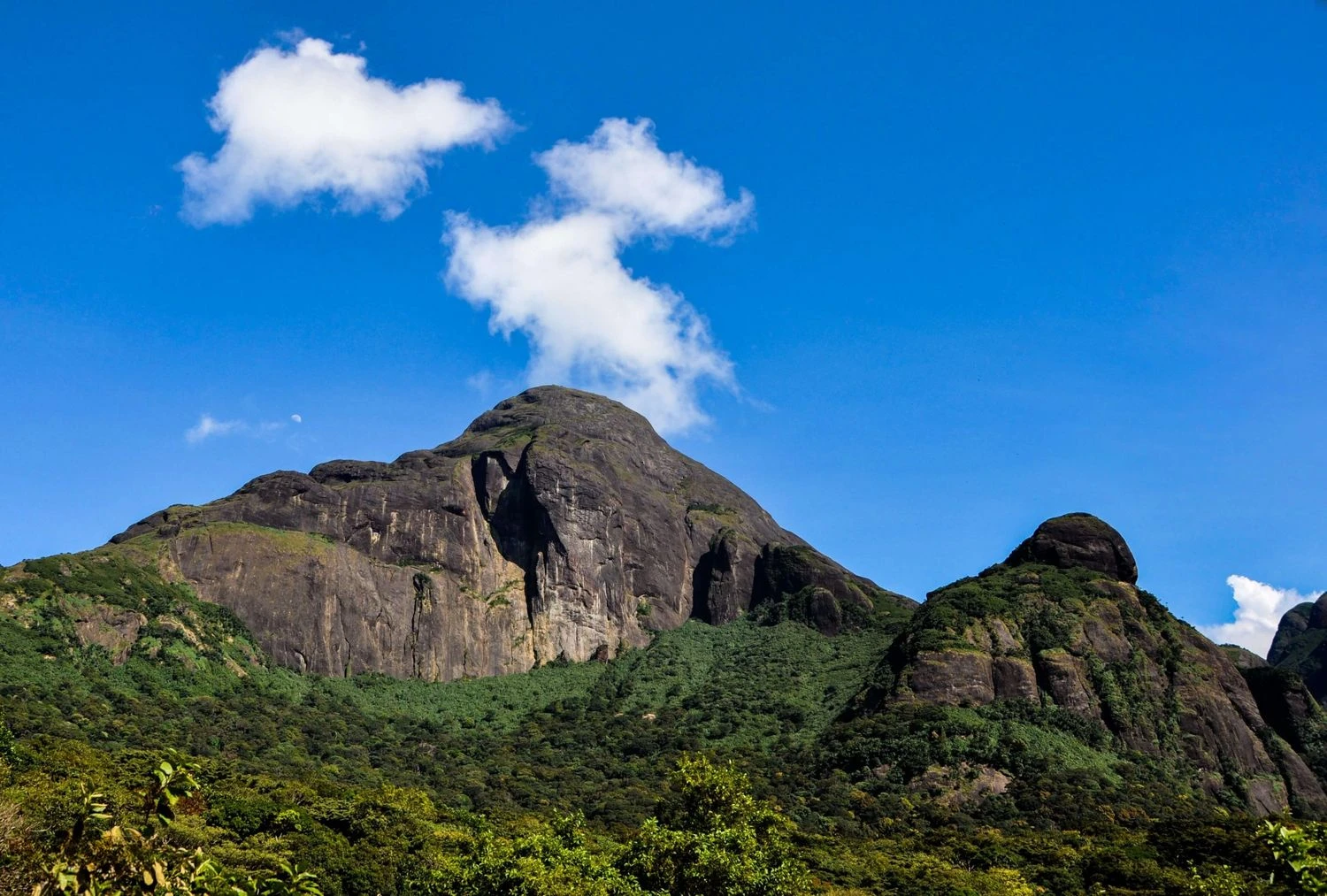
Summit Experience and Trekking Challenges
The final ascent to the summit is the most demanding part of the trek. The trail becomes steeper and more exposed, requiring careful footing and reasonable fitness levels. Upon reaching the top, trekkers are rewarded with panoramic views of the Western Ghats, rolling hills, dense forests, and distant valleys stretching across Kerala and Tamil Nadu. On clear days, the views are exceptional and provide a fitting conclusion to the journey. While the trek is not technically difficult, the combination of long walking hours, humid conditions, and forest terrain makes proper preparation essential. Those who complete the trek often describe it as one of the most memorable wilderness experiences in South India due to its unique blend of ecology, adventure, and spirituality.