


Anamudi Peak Trek: Climbing South India’s Highest Mountain in the Western Ghats
The Anamudi Peak Trek offers a rare opportunity to explore the highest mountain in South India, rising to an altitude of about 2695 meters in Kerala’s Western Ghats. Located inside the protected region of Eravikulam National Park near Munnar, this trek combines rolling grasslands, shola forests, and wide mountain ridges that define the unique ecosystem of the Nilgiri biosphere. Unlike the rugged glacier trails of the Himalayas, Anamudi presents a gentler yet equally captivating high-altitude trekking experience marked by sweeping landscapes and rich biodiversity. The trek is known for its open slopes, wildlife sightings, and expansive summit views that stretch across the mist-covered valleys of the Western Ghats.
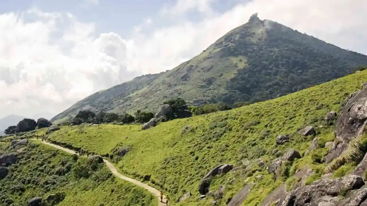
Trail Through Eravikulam National Park
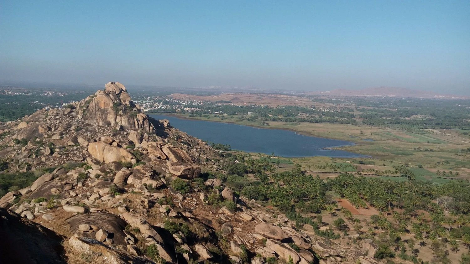
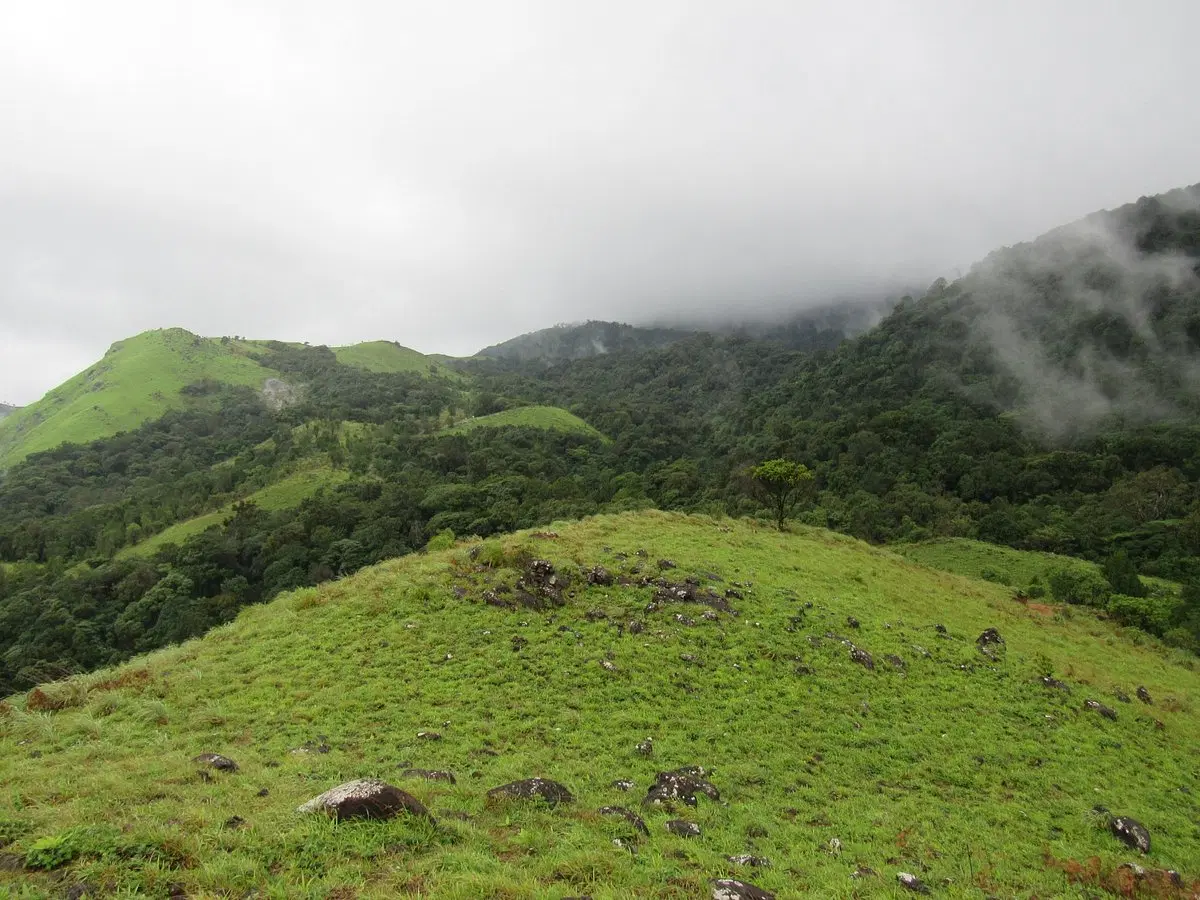
The trek typically begins from designated entry points inside Eravikulam National Park, which is well known for its conservation efforts and scenic terrain. The initial sections involve gradual climbs across grassy hills interspersed with shola forest patches. The trail is well defined and winds through rolling ridgelines that provide continuous views of surrounding peaks. Trekkers often encounter Nilgiri tahr grazing on steep slopes, along with diverse bird species adapted to the high-altitude environment. The landscape changes subtly with altitude, shifting from dense vegetation to open grassland dominated by mountain winds and cool temperatures.
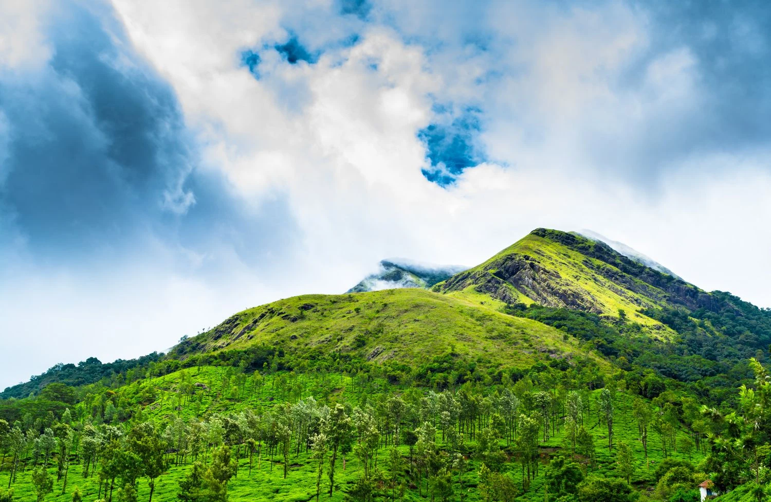
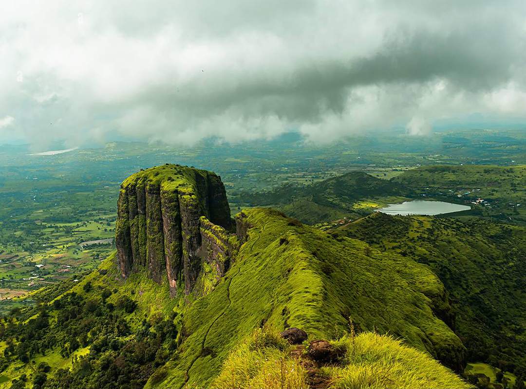
Grassland Ecosystem and Western Ghats Biodiversity
One of the defining characteristics of the Anamudi Peak Trek is the vast expanse of montane grasslands that form a distinctive ecological zone in the Western Ghats. These high-elevation grasslands support a range of endemic flora and fauna, many of which are found nowhere else in the world. The alternating pattern of grassland and forest creates a dynamic trekking environment where visibility varies between sheltered woodland and wide open slopes. Seasonal blooming events such as the Neelakurinji flowering cycle transform parts of the region into vibrant landscapes. The relatively stable climate during winter months makes trekking conditions favorable for long ascents.
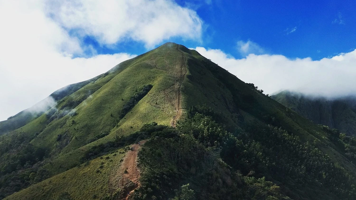
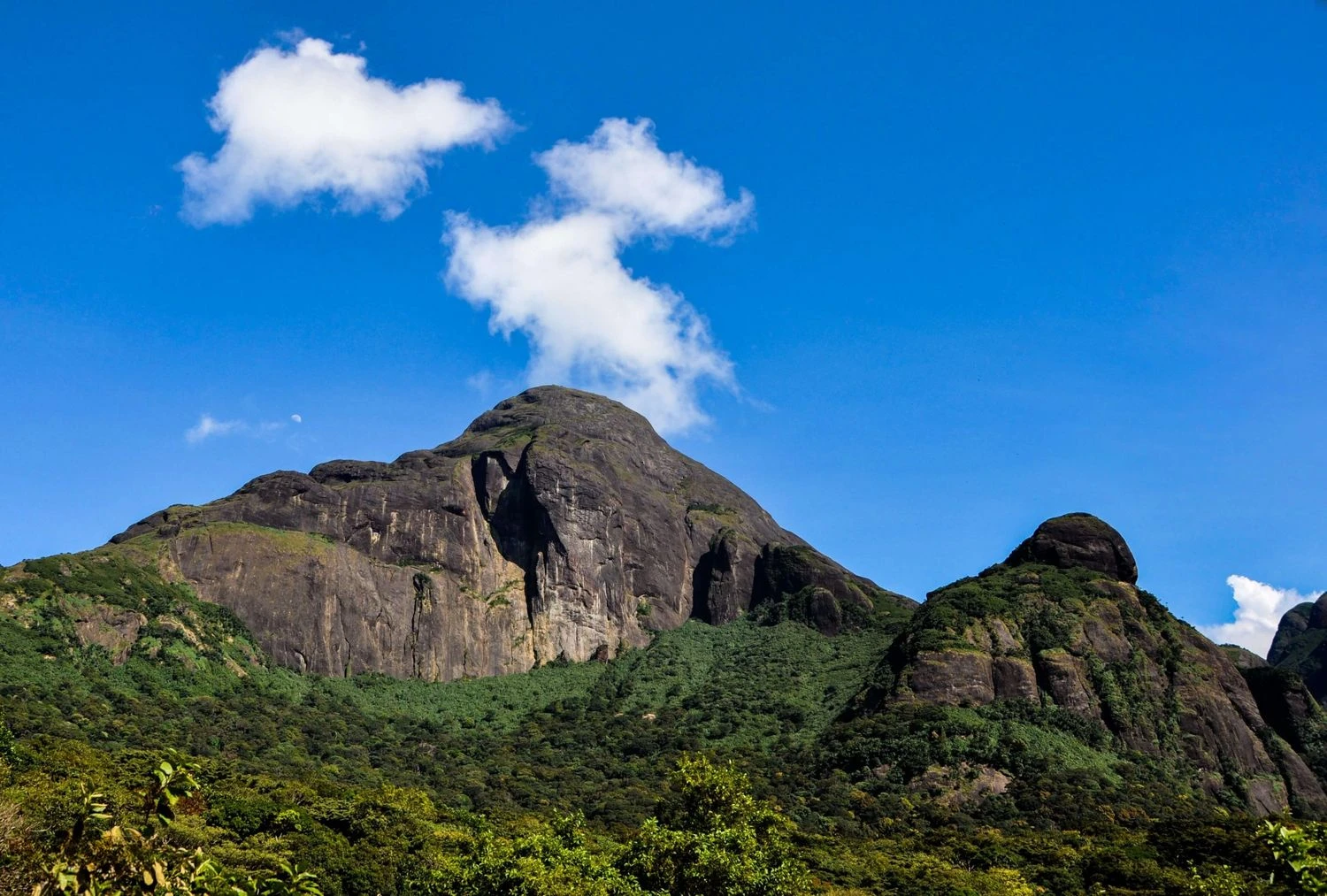
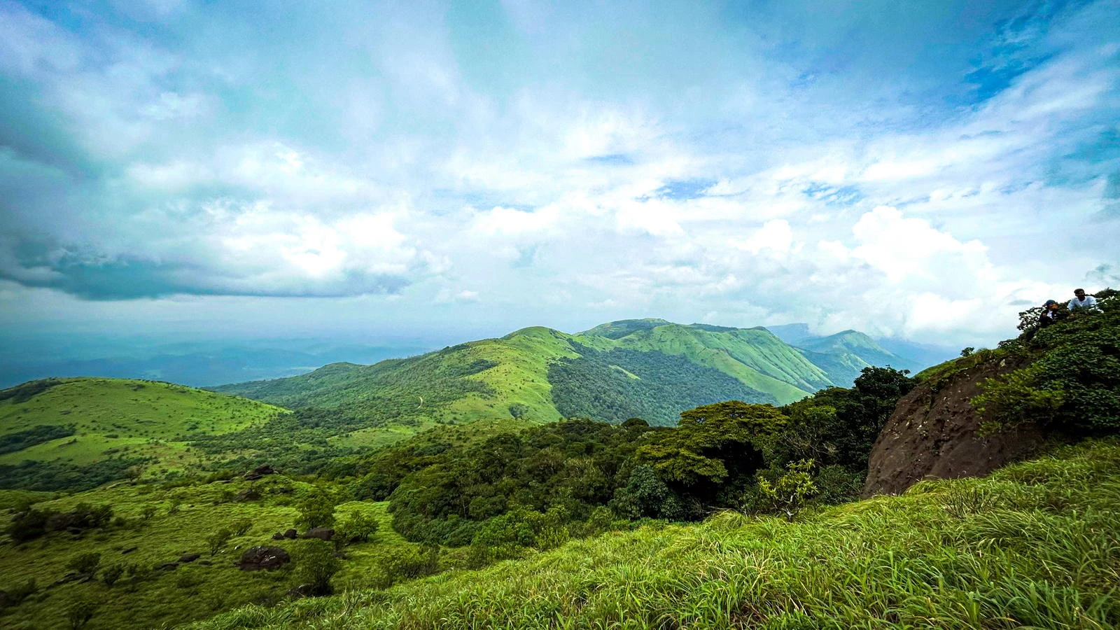
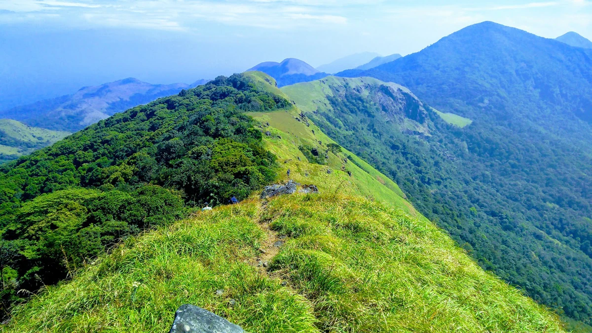
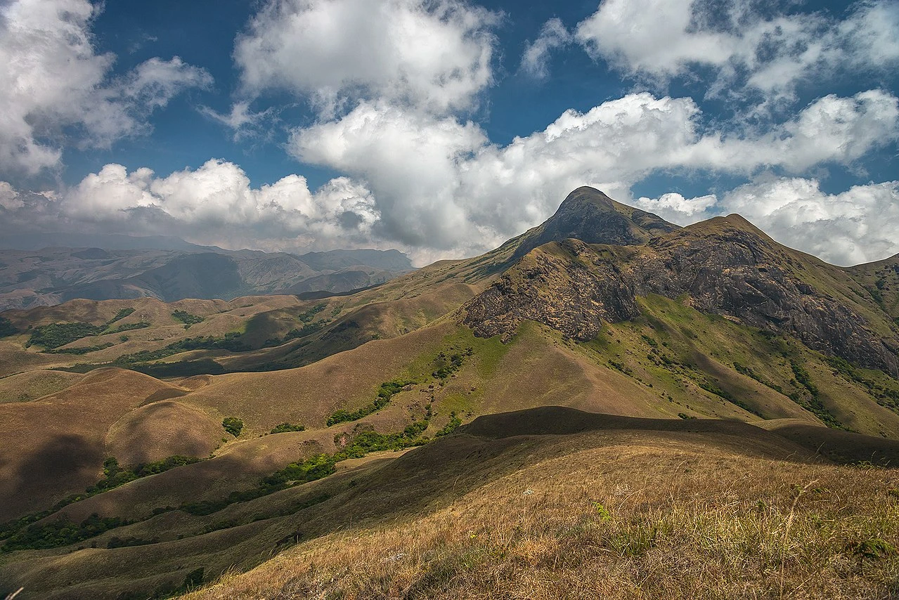
Summit Approach and Panoramic Mountain Views
As trekkers gain altitude toward Anamudi Peak, the trail becomes steeper and more exposed. Rocky patches and narrow ridgelines characterize the final ascent. The summit itself provides sweeping views of the surrounding Western Ghats, including distant hills fading into layers of mist. Weather conditions can change quickly at this elevation, with sudden fog and strong winds reducing visibility. Reaching the highest point offers a strong sense of accomplishment, as trekkers stand above the rolling green landscape that defines Kerala’s mountain terrain. The summit experience is often marked by cool temperatures and dramatic cloud formations moving across the horizon.
Seasonal Conditions and Trek Difficulty
The best time to attempt the Anamudi Peak Trek is during winter months from December to March when temperatures remain moderate and rainfall is minimal. Post-monsoon months also provide lush greenery but may include slippery trails due to residual moisture. Monsoon trekking is usually restricted because heavy rainfall and strong winds can make the route unsafe. The trek is generally classified as moderate due to continuous ascents and exposed summit sections. Good physical fitness and steady pacing are important for handling altitude gain and maintaining energy levels throughout the climb.
Overall Trekking Profile and Experience
The Anamudi Peak Trek stands out as a unique mountain adventure in South India, combining ecological richness with the challenge of reaching a significant summit. Its accessibility from Munnar and structured entry regulations help preserve the natural environment while allowing trekkers to experience high-altitude landscapes. The trek offers a balanced mix of forest trails, grassy slopes, and rocky summit terrain that appeals to both beginners and experienced hikers. With careful planning and adherence to park guidelines, the journey to Anamudi provides a memorable exploration of the Western Ghats’ highest elevations.