


Tadiandamol Trek: Summit Coorg’s Highest Peak Through Forests and Grasslands
Tadiandamol Trek is one of the most celebrated trekking experiences in Karnataka and the highest peak in Coorg district. Rising to an elevation of approximately 1,748 meters above sea level, Tadiandamol is the third-highest peak in Karnataka and offers a perfect blend of accessibility, natural beauty, and adventure. Nestled within the Western Ghats, the trek attracts trekkers from across South India who come to experience its scenic grasslands, shola forests, mountain streams, and panoramic summit views. Unlike more demanding mountain expeditions, Tadiandamol provides an excellent opportunity for beginners and experienced trekkers alike to enjoy a rewarding summit climb within a single day.
Journey Through the Western Ghats
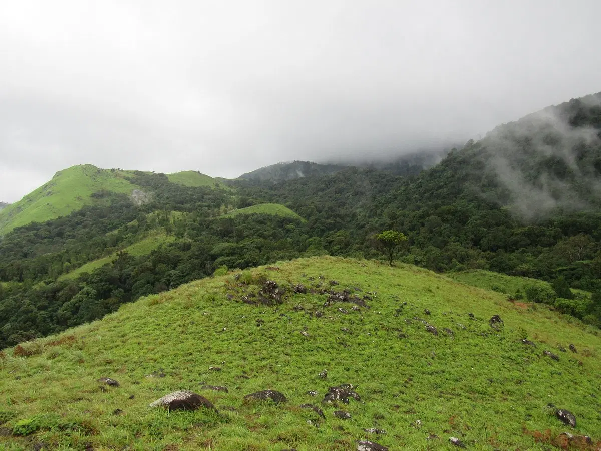
The trek usually begins near Kakkabe village, a picturesque settlement surrounded by coffee plantations and forested hills. The trail initially passes through private estates and gradually enters the protected forest region near the base of the mountain. Trekkers walk through dense shola forests where sunlight filters through thick vegetation, creating a cool and pleasant atmosphere. During the monsoon and post-monsoon seasons, the landscape becomes exceptionally lush, with small streams and waterfalls adding charm to the route.
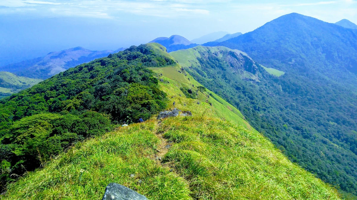
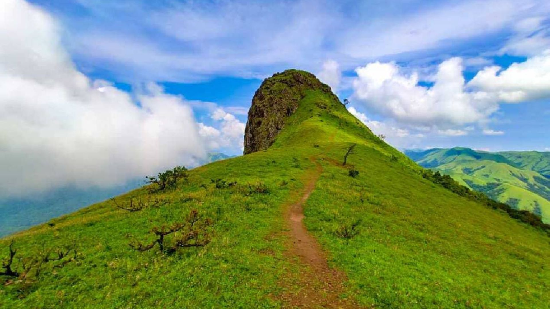
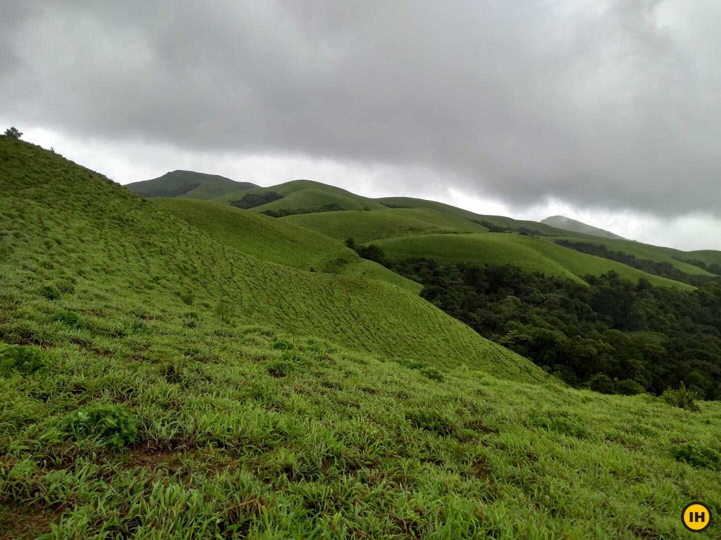
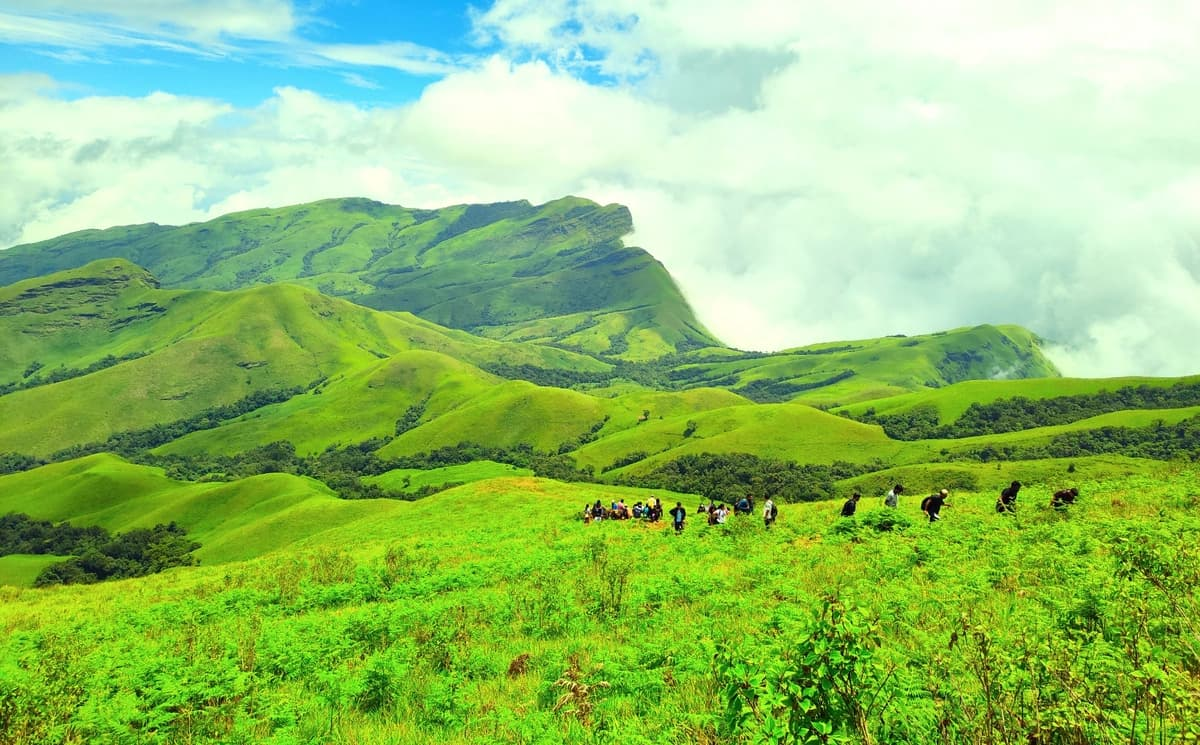
Rolling Grasslands and Scenic Ridge Walks
One of the highlights of the Tadiandamol Trek is the transition from forests to expansive grasslands. As the trail climbs higher, the vegetation opens up and reveals sweeping views of the surrounding valleys and mountain ranges. The ridgeline sections are particularly scenic, offering uninterrupted views of the Western Ghats. During winter months, the clear skies provide excellent visibility, while monsoon clouds create dramatic scenery as they drift across the hillsides.
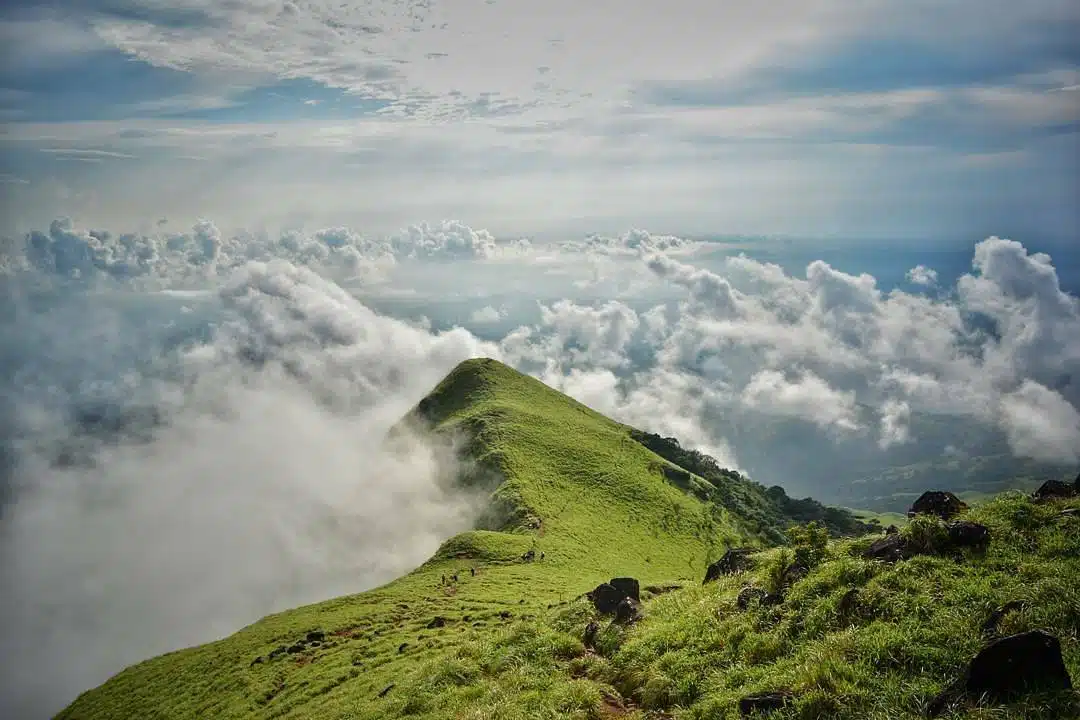
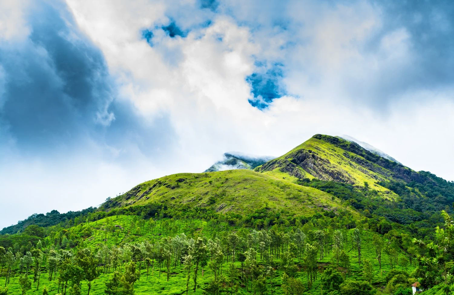
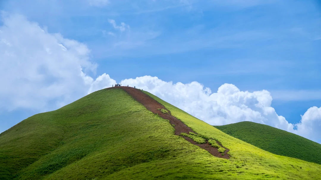
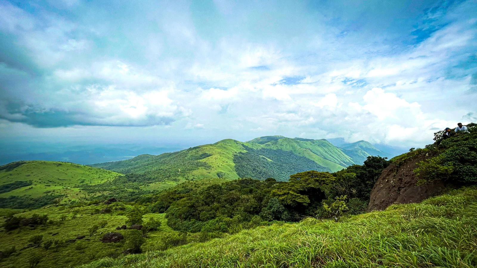
The Summit Experience
Reaching the summit of Tadiandamol is a rewarding experience. The peak provides panoramic views of Coorg's hills, forests, and distant mountain ranges extending into Kerala. The summit area is relatively broad, allowing trekkers to relax and appreciate the surrounding wilderness. On clear days, multiple ridges of the Western Ghats stretch toward the horizon, creating one of the finest mountain panoramas in southern India.
Why Tadiandamol Is a Must-Do Trek in Karnataka
Tadiandamol stands out because it combines a genuine summit experience with moderate difficulty and excellent accessibility. The route offers a rich variety of landscapes, including coffee estates, forests, grasslands, and mountain ridges. Its scenic beauty, biodiversity, and rewarding summit views make it one of the most popular trekking destinations in Karnataka. Whether you are a first-time trekker seeking a memorable adventure or an experienced hiker exploring the Western Ghats, Tadiandamol delivers an outstanding trekking experience that showcases the natural beauty of Coorg.