


Makalidurga Trek: A Scenic Fort Trek Near Bengaluru With Stunning Lake Views
Makalidurga Trek is one of the most popular day hikes near Bengaluru, offering an ideal combination of adventure, history, and panoramic scenery. Located roughly 60 kilometers from the city near Doddaballapur, the trek leads to the summit of Makalidurga Hill, a granite hillock crowned by the ruins of an ancient fort and a centuries-old Shiva temple. Rising to approximately 1,117 meters above sea level, the hill provides spectacular views of the surrounding countryside, rocky landscapes, and the famous Gundamagere Lake, which resembles the shape of South America when viewed from above. What makes Makalidurga particularly attractive is its accessibility. Trekkers can reach the trailhead directly from Makalidurga Railway Station, making it one of the few railway-connected treks near Bengaluru. The trail combines forest paths, rocky sections, boulder scrambling, and open viewpoints, creating an engaging experience without requiring advanced trekking skills. Whether you are a beginner attempting your first trek or an experienced hiker looking for a rewarding weekend escape, Makalidurga offers an unforgettable outdoor experience.
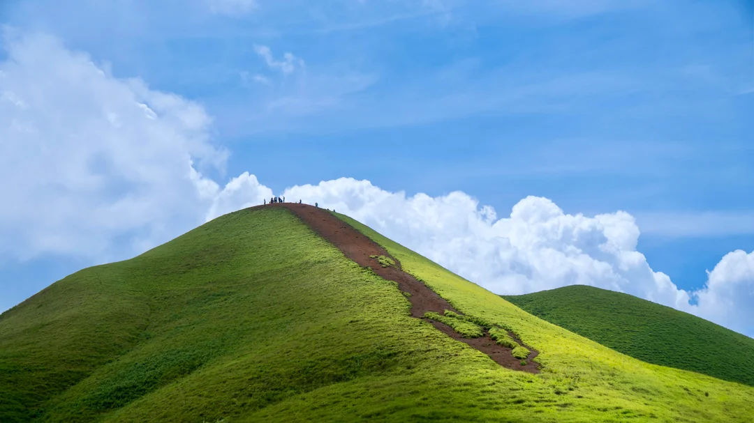
A Trek Through Rocky Trails and Forest Landscapes
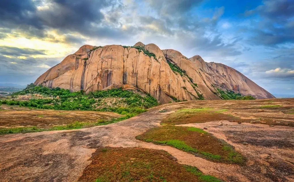
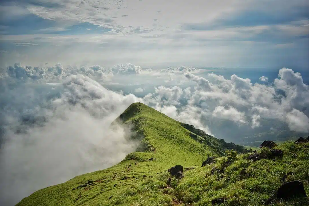
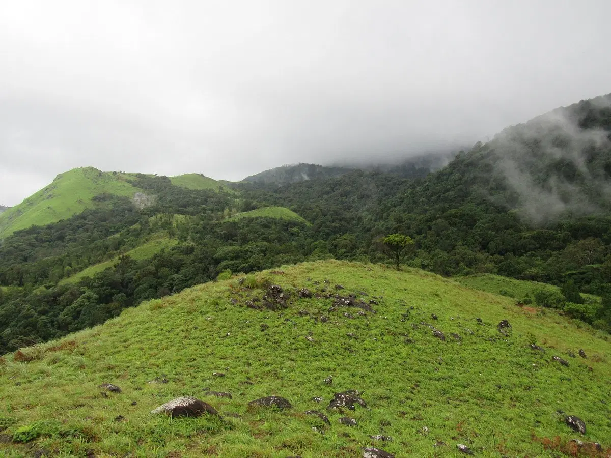
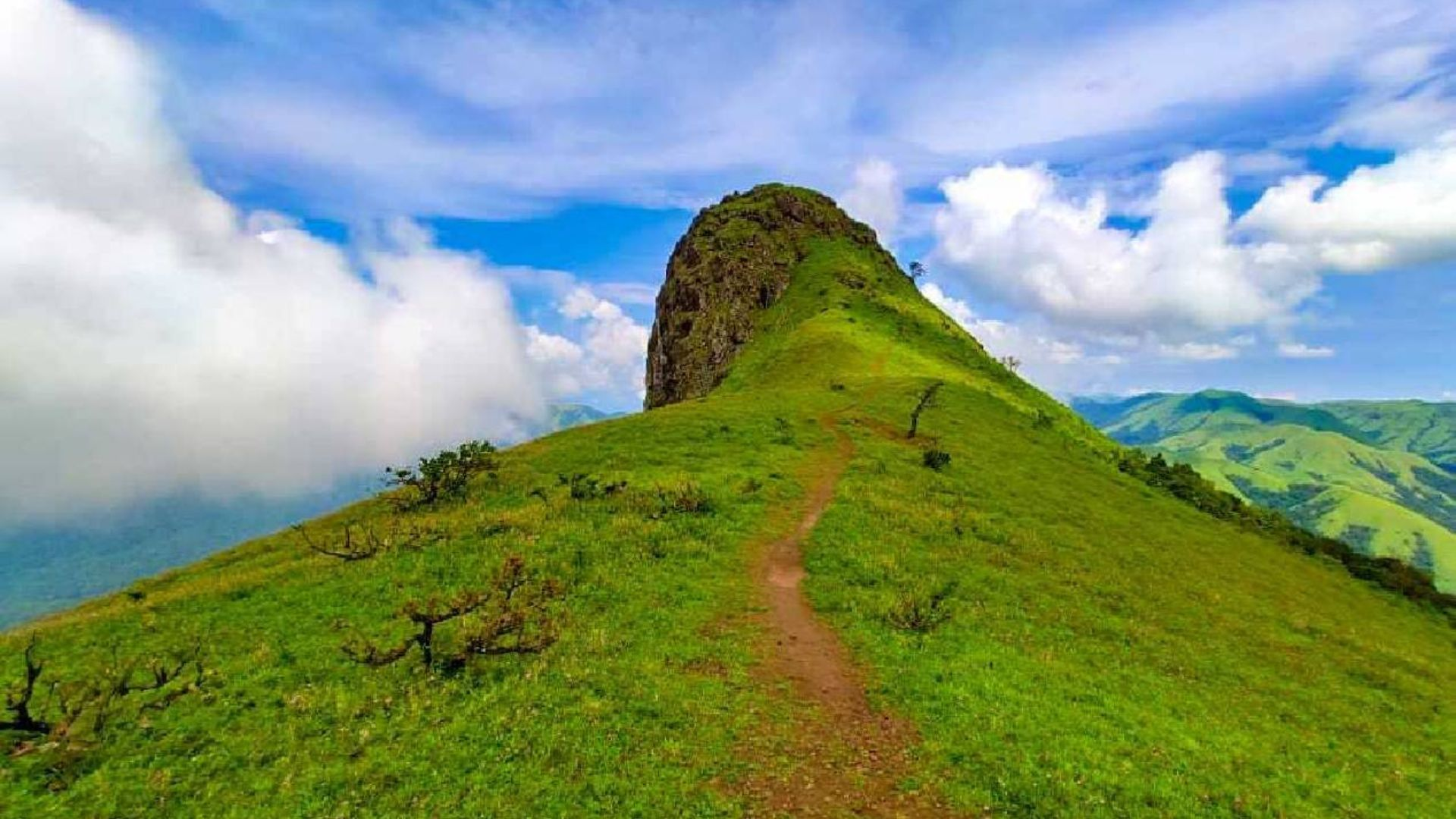
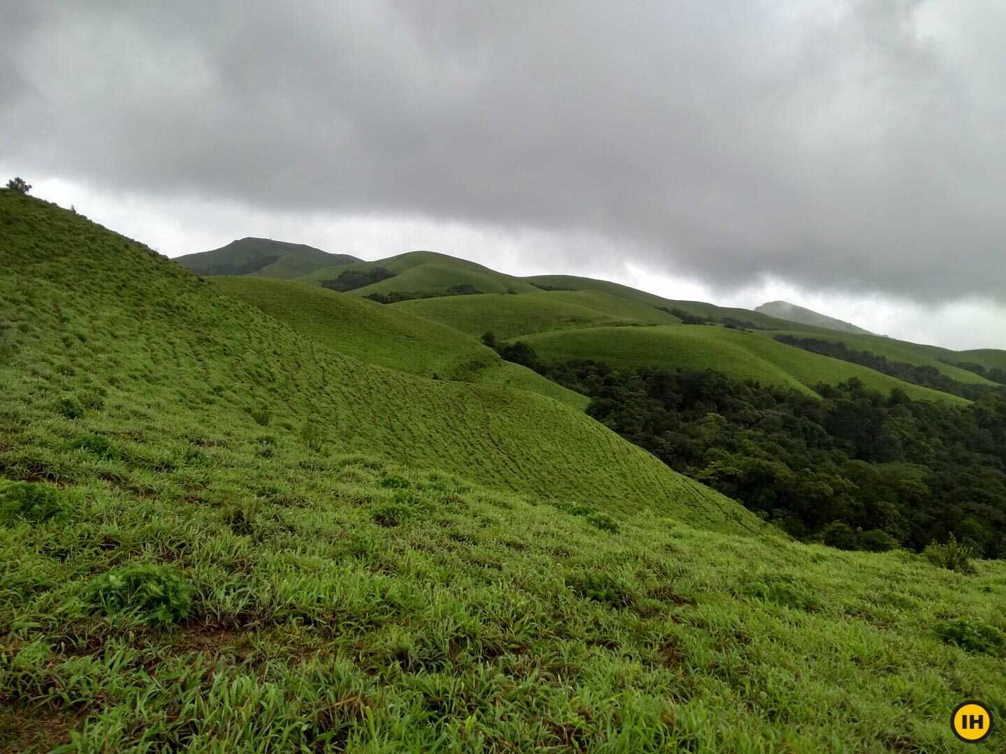
The trek begins with a walk near the railway tracks before entering a landscape filled with shrubs, grasslands, and scattered boulders. As the ascent progresses, the terrain becomes steeper, requiring trekkers to navigate rocky patches and granite slabs. Directional markings make the route relatively easy to follow. Along the climb, several viewpoints provide excellent opportunities to admire the surrounding hills and countryside. During the post-monsoon season, the entire region transforms into a lush green landscape, while winter offers clear skies and comfortable temperatures ideal for trekking.
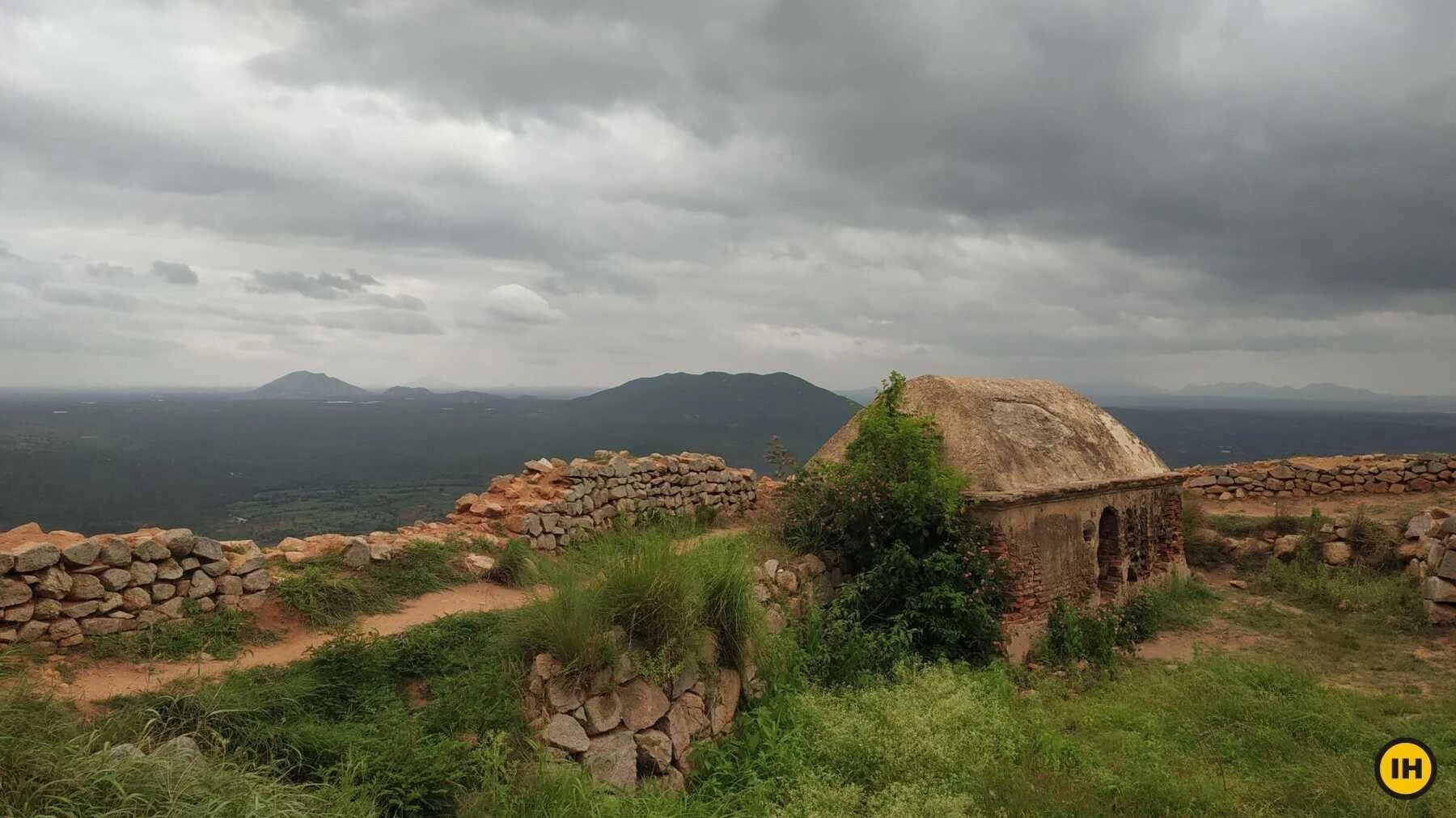
Historic Fort Ruins and Cultural Significance
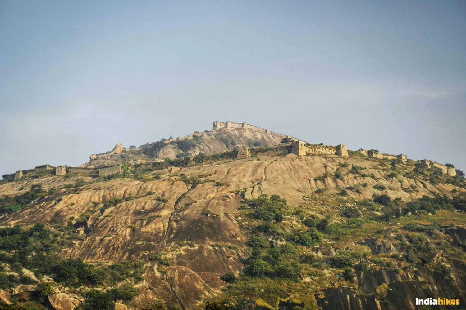
The summit of Makalidurga houses the remnants of an ancient hill fort that once played a strategic role in regional defense. Historical records associate the fort with the Vijayanagara Empire, local Nayakas, and later rulers including Shahaji Bhosale. Today, portions of the fort walls still stand, providing a glimpse into the area's rich history. Near the summit is the Makali Malleshwara Temple dedicated to Lord Shiva, which continues to attract devotees from nearby villages. The combination of history and spirituality gives the trek a unique character that extends beyond its natural beauty.
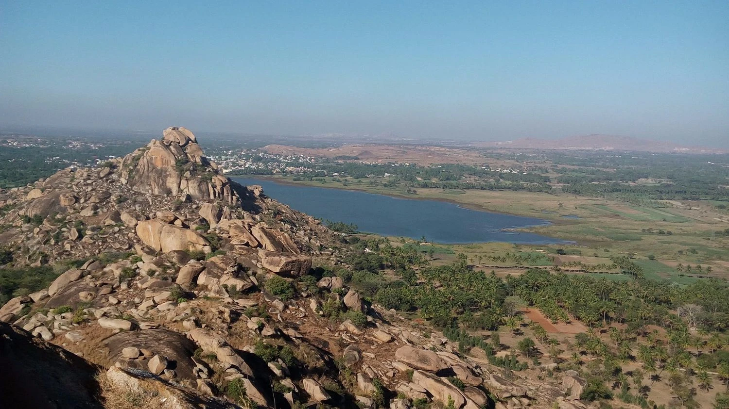
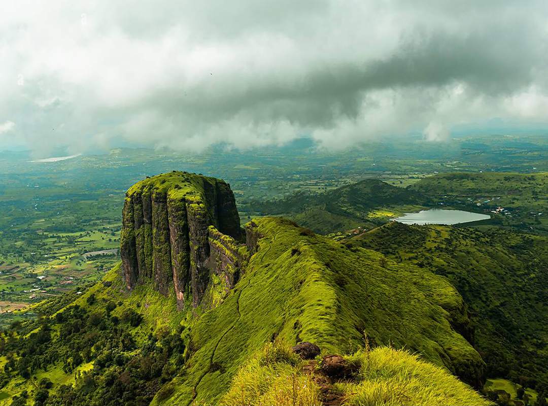
The Famous View of Gundamagere Lake
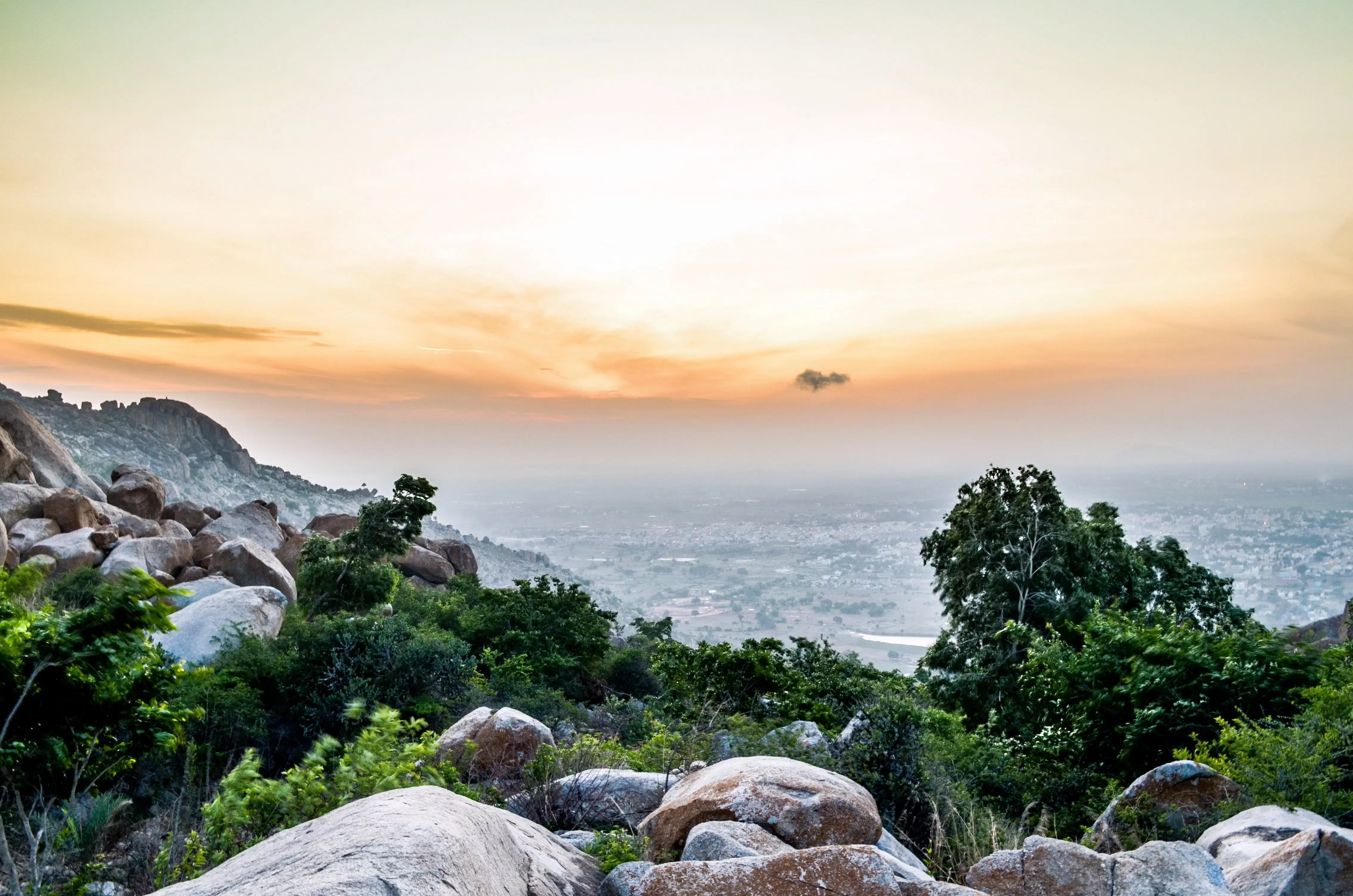
One of the most memorable highlights of the Makalidurga Trek is the view of Gundamagere Lake. From higher sections of the trail and especially from the summit, trekkers can clearly see the lake's distinctive outline that resembles the continent of South America. This viewpoint has become one of the most photographed locations near Bengaluru. In addition to the lake, visitors enjoy sweeping views of nearby hills, railway tracks cutting through the countryside, and expansive stretches of the Deccan landscape. Sunrise treks are particularly popular because the early morning light creates spectacular photographic conditions.
Best Time to Visit and Trek Preparation
The best time to undertake the Makalidurga Trek is from October to February when the weather remains pleasant and visibility is excellent. The trek is classified as easy to moderate, making it suitable for most individuals with basic fitness levels. Proper trekking shoes are essential because several sections contain loose gravel and exposed rock surfaces. Carrying sufficient water is equally important as there are limited water sources on the trail. Trekkers should also secure the necessary forest department permits before visiting. Those who arrive prepared are rewarded with one of the most scenic and accessible trekking experiences in Karnataka.