Pindari Glacier Trek

Pindari Glacier Trek

Uttarakhand
Moderate to DifficultDifficulty
6–7 daysDuration
3660 mMax Altitude
45 kmLength
Kharkiya villageStarting Point

Pindari Glacier Trek: A Journey to the Source of Ice and Silence

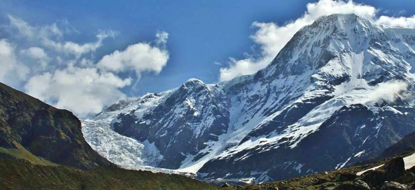
The Pindari Glacier Trek is one of the most classic and accessible glacier treks in the Indian Himalayas. Nestled in the Kumaon region of Uttarakhand, this trek leads deep into a dramatic glacial valley dominated by towering peaks like Nanda Devi East, Nanda Khat, Changuch, and Panwali Dwar. Unlike technical or extreme altitude treks, Pindari Glacier offers a gradual, immersive journey that allows trekkers to experience the power of glaciers without requiring mountaineering skills. The trek reaches an altitude of about 3660 meters and follows a well-defined trail that has been used for centuries by locals, shepherds, and explorers.

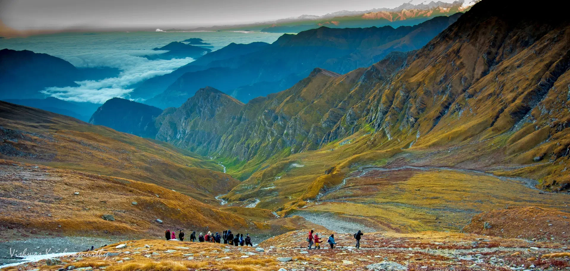
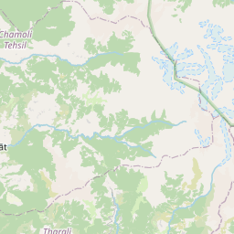
The Route and the Flow of the Pindari Valley

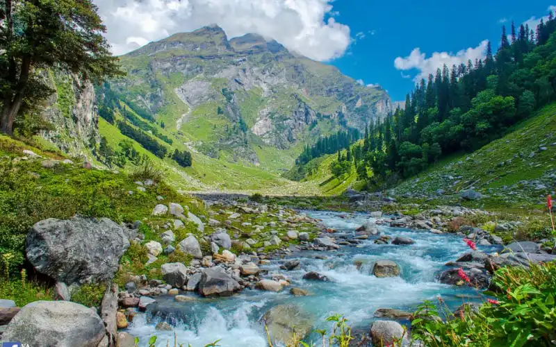
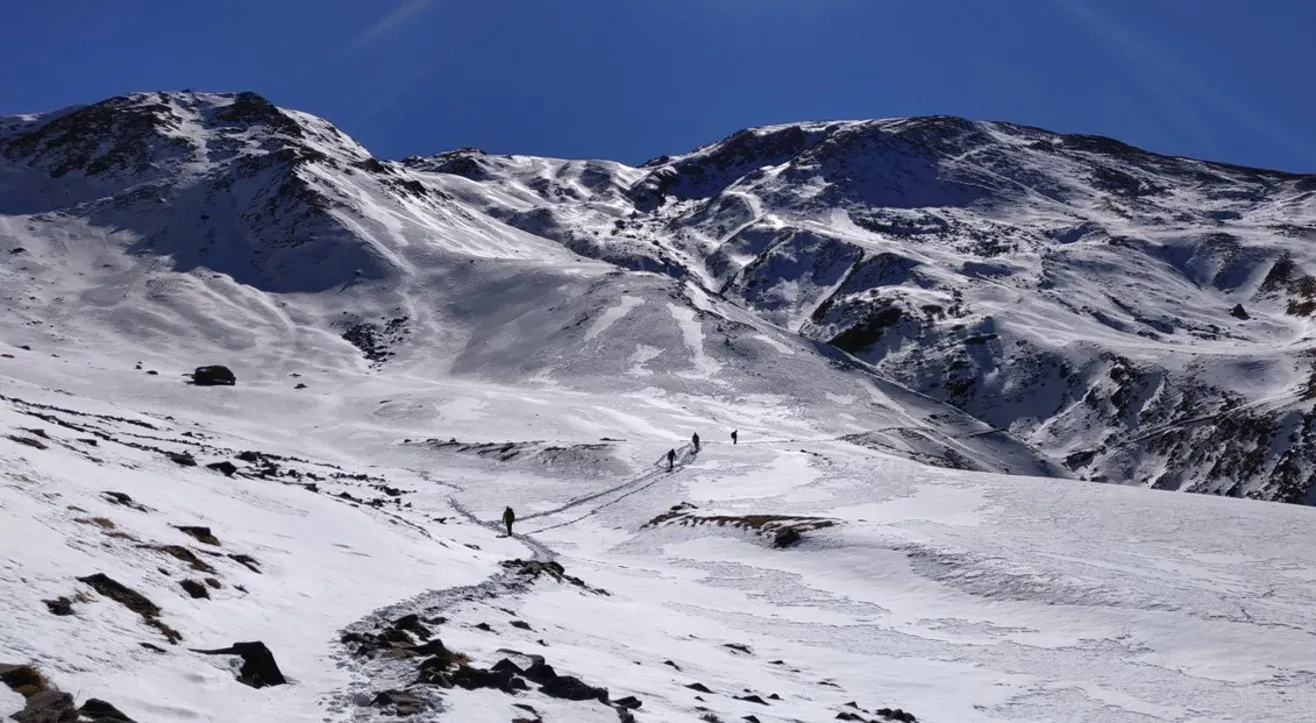
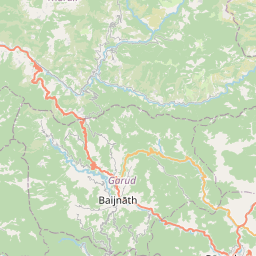
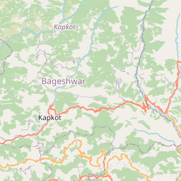
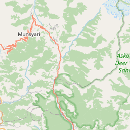
The trek usually begins from Kharkiya village after a drive from Kathgodam through scenic hill towns like Almora and Bageshwar. From the first day, the trail follows the Pindar River upstream, moving steadily deeper into the valley. The route is wide and clear, with gradual ascents and long walking stretches that allow trekkers to settle into a rhythm. Unlike high passes or summit-oriented treks, the Pindari Glacier Trek focuses on continuity rather than intensity. Each day adds depth to the landscape, as forested slopes slowly give way to rocky valleys and glacial terrain.

Forests, Villages, and Changing Landscapes

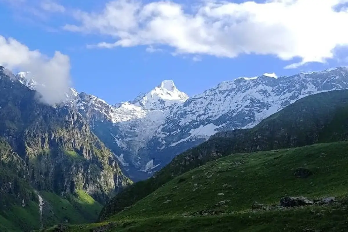
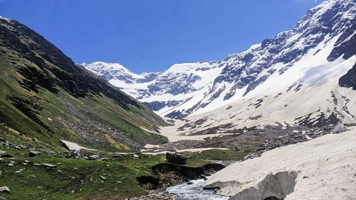
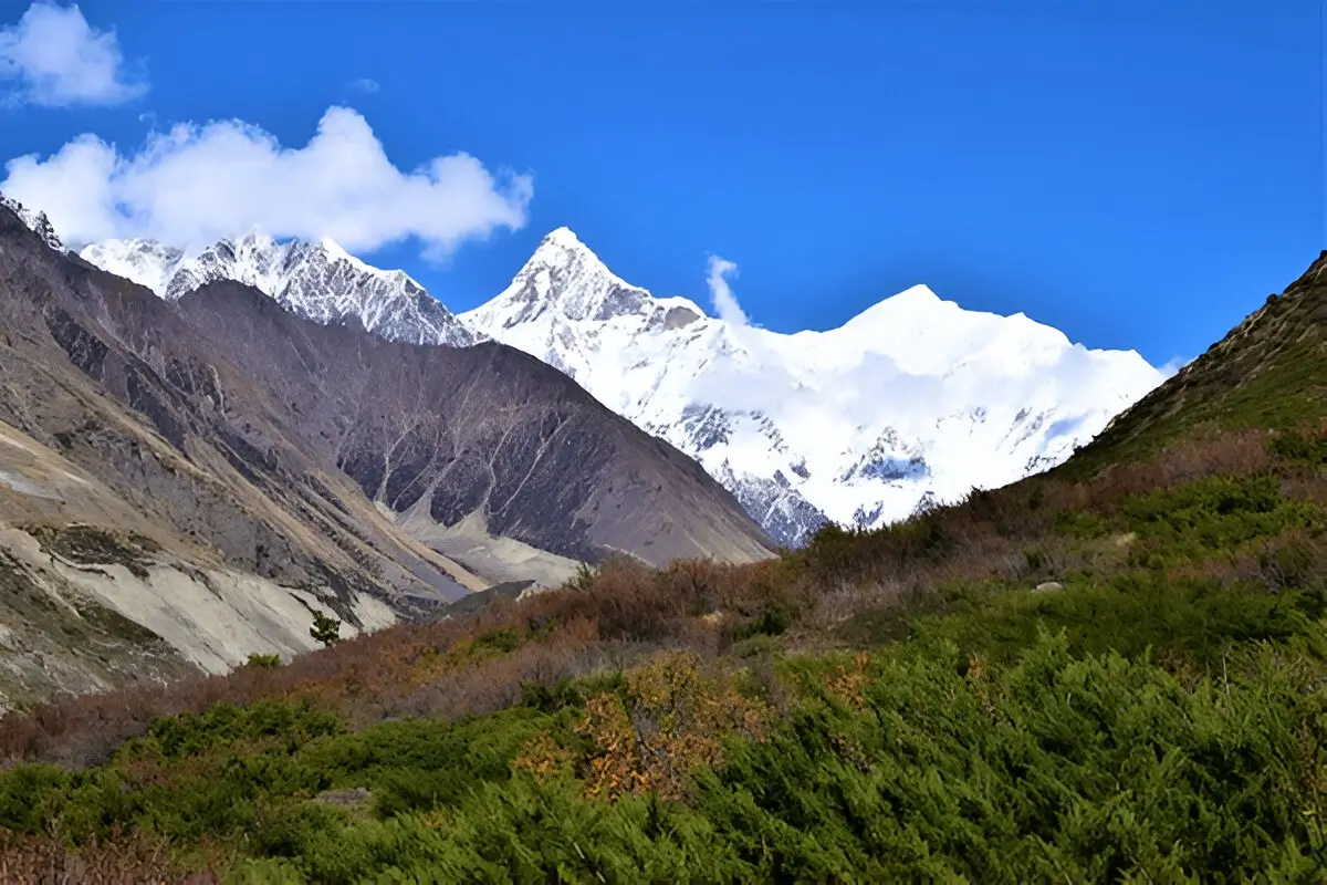
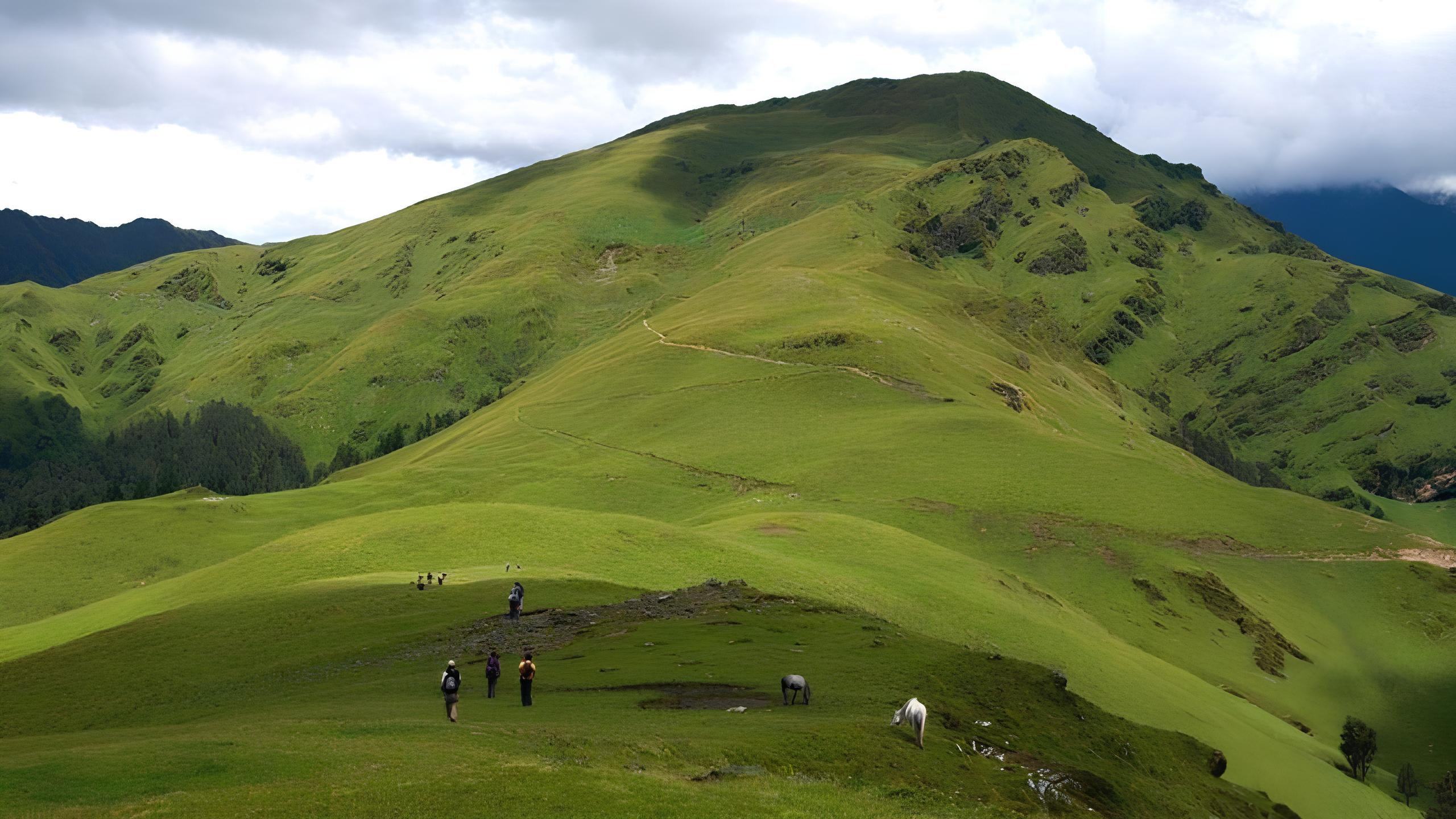
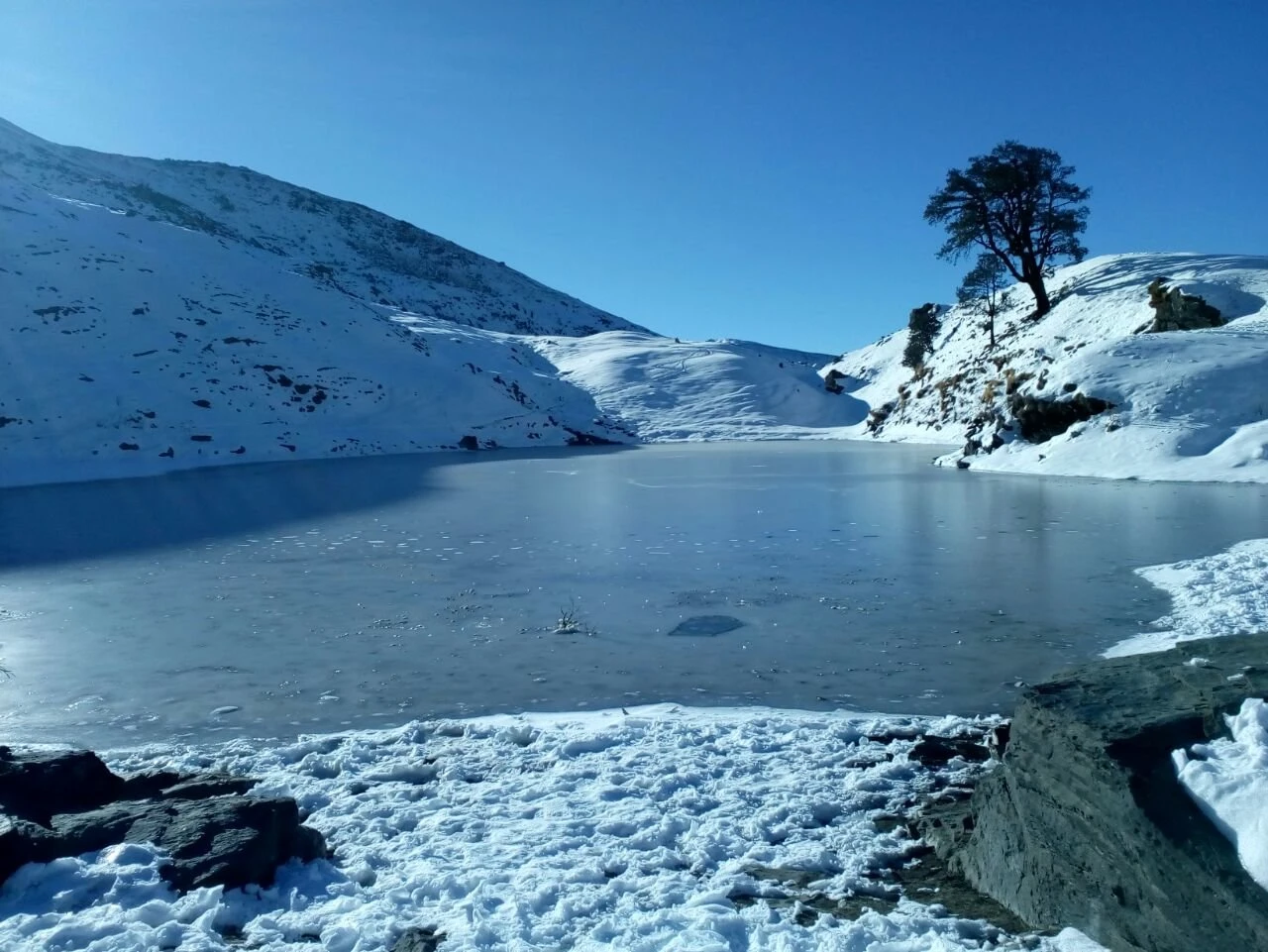
One of the most appealing aspects of the Pindari Glacier Trek is the diversity of terrain encountered along the way. The lower sections pass through dense forests of oak, pine, and rhododendron, especially vibrant during spring. Small villages and seasonal settlements appear intermittently, offering glimpses into mountain life shaped by geography and climate. As altitude increases, the forests thin out and the trail opens into wide valleys with exposed rock faces and glacial debris. This gradual transition makes the trek visually engaging without feeling abrupt or overwhelming.

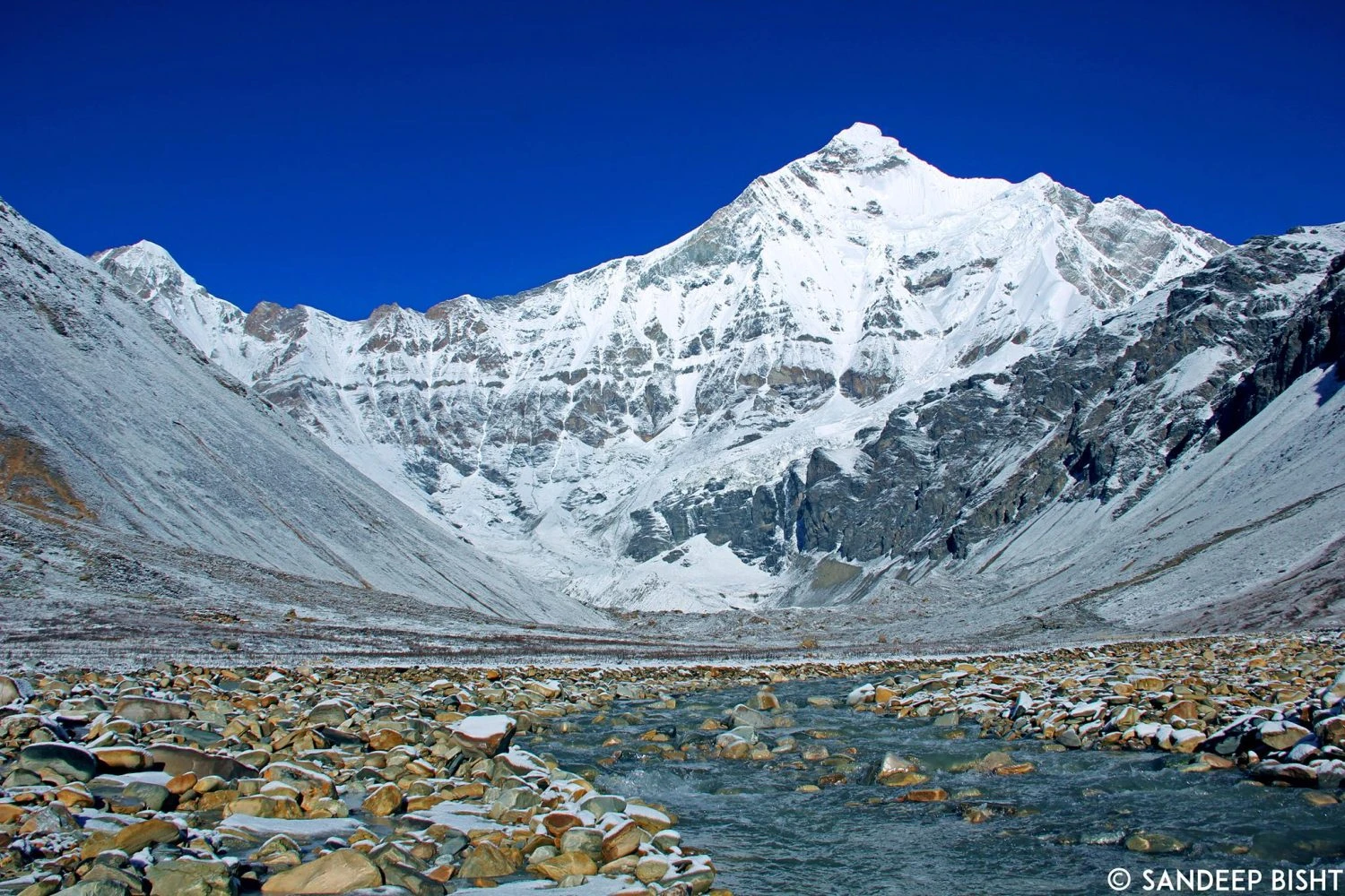
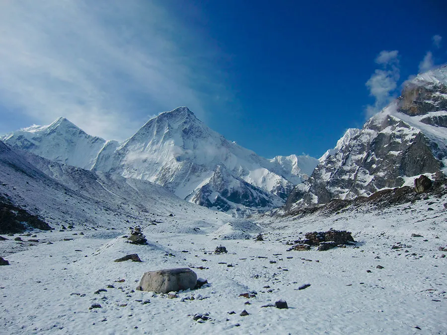
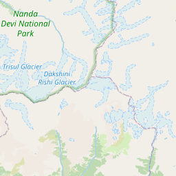
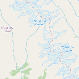
Pindari Glacier and the Power of Ice

The highlight of the trek is reaching Zero Point near the snout of the Pindari Glacier. Here, the valley narrows dramatically, and the scale of the glacier becomes clear. Massive ice formations, moraine fields, and the sound of flowing meltwater dominate the environment. The glacier feels alive, constantly shifting and reshaping the valley. Unlike alpine lakes or summit viewpoints, the glacier offers a raw and grounded experience, emphasizing the slow but immense force of natural processes. Standing at the glacier’s edge, surrounded by high peaks, creates a strong sense of isolation and perspective.

Weather Conditions and Best Time to Visit

The best time to trek to Pindari Glacier is from April to June and again from September to October. Spring brings blooming forests and moderate temperatures, while early summer offers clear skies and stable weather. During monsoon months, the region receives rainfall, making trails slippery and increasing the risk of landslides. Post-monsoon months provide crisp air and excellent mountain visibility, though nights become colder. Winter months are not suitable for trekking due to snow accumulation and closed routes.

Difficulty Level and Who This Trek Is Best For

The Pindari Glacier Trek is classified as easy to moderate. It does not involve steep climbs, exposed ridges, or technical sections, making it suitable for beginners with reasonable fitness. The gradual altitude gain reduces the risk of altitude sickness, though proper acclimatization is still important. This trek is ideal for trekkers who want to experience a Himalayan glacier, long valley walks, and classic mountain scenery without the pressure of extreme altitude or technical challenges. It is also well suited for those interested in photography, geology, and slow-paced exploration.

Packing List

Trekking shoes
Buy on Amazon
warm layers
Buy on Amazon
rain jacket
Buy on Amazon
trekking poles
Buy on Amazon
cap
Buy on Amazon
gloves
Buy on Amazon
sunglasses
Buy on Amazon
sunscreen
Buy on Amazon
personal medicines
Buy on Amazon

Itinerary

Day 1: Kathgodam to Kharkiya | Distance: 210 km | Duration: 9 to 10 hours | Altitude: 7200 ft
  • Scenic drive through Almora and Bageshwar
  • Mountain roads with river and forest views
  • Guesthouse stay with dinner
Day 2: Kharkiya to Khati | Distance: 7 km | Duration: 4 to 5 hours | Altitude: 7300 ft
  • Trek through forests and river valleys
  • Well-laid trail with gentle ascent
  • Homestay accommodation with local meals
Day 3: Khati to Dwali | Distance: 11 km | Duration: 6 hours | Altitude: 8200 ft
  • Walk alongside Pindar River
  • Mixed terrain with forest and open stretches
  • Guesthouse or campsite stay
Day 4: Dwali to Phurkia | Distance: 5 km | Duration: 3 hours | Altitude: 10500 ft
  • Gradual climb into higher valley
  • Colder climate and reduced vegetation
  • Campsite stay with acclimatization walk
Day 5: Phurkia to Pindari Glacier and back | Distance: 10 km | Duration: 6 to 7 hours | Altitude: 12000 ft
  • Walk to Zero Point near glacier snout
  • Rocky terrain and glacial views
  • Return to Phurkia for overnight stay
Day 6: Phurkia to Khati | Distance: 16 km | Duration: 7 to 8 hours | Altitude: 7300 ft
  • Long descent along the same valley route
  • Forest sections and river crossings
  • Homestay stay with dinner
Day 7: Khati to Kharkiya and return | Distance: 7 km | Duration: 4 hours | Altitude: 7200 ft
  • Final descent to roadhead
  • Drive back towards Kathgodam
  • Trek concludes by evening

Reviews

0 reviews

Share your experience to help other trekkers plan this route.

No reviews yet for this trek.

Be the first to share what it is really like out there.

FAQs

Is Pindari Glacier Trek suitable for beginners?

Yes. It is one of the most beginner-friendly glacier treks.

What is the highest point of the trek?

The glacier viewpoint at approximately 3660 meters.

Does the trek involve snow?

Snow may be present near the glacier in early season.

Is altitude sickness a concern?

Risk is low due to gradual altitude gain.

Are homestays available?

Yes. Villages like Khati offer homestay accommodation.

Is this trek suitable for families?

Yes, with good fitness and preparation.

Are permits required?

Yes. Forest permits are required.

What wildlife can be seen?

Birds and occasional mountain fauna in forest sections.

Is mobile network available?

Network is limited and mostly unavailable beyond villages.

What makes this trek special?

A close and safe approach to a major Himalayan glacier.

Mountain trail
Plan your next trek

Browse all treks in one place

Explore every trek on FindMeTrek with powerful filters for region, difficulty, duration, and season so you can quickly find the trail that matches your next adventure.

More Treks Nearby This

Other trails in this region that you might want to explore.

Essential Trekking Guidelines to Follow

Obtain Required Permits

Many trekking destinations require official permits from local authorities. Apply early to avoid fines or being denied entry.

Respect Nature and Wildlife

Follow Leave No Trace. No littering or off-trail wandering. Keep noise low and avoid disturbing animals.

Travel with a Guide when Required

Certain high-altitude or border zones mandate certified guides for safety and regulations. Check rules before planning.

Camp Only at Designated Sites

Unauthorized camping or bonfires can damage ecosystems and violate laws. Use approved campsites for safety.

Respect Local Culture

Seek permission before photographing villagers or holy places. Dress modestly and engage respectfully with locals.

Follow Weather and Safety Advisories

If authorities halt a trek due to weather or hazards, comply without argument. These alerts protect lives.

Stay Within Allowed Zones

Border-close trails often have restricted limits. Do not cross protected boundaries without permissions.

Stick to Group Instructions

When trekking with a group, follow the leader’s pace and timing. Avoid moving alone or straying off track.