


Namik Glacier Trek: Remote Himalayan Valleys and Untouched Alpine Landscapes
The Namik Glacier Trek is a lesser-known yet incredibly scenic trekking route in the Kumaon region of Uttarakhand. Located deep within the Eastern Garhwal Himalayas, the trek reaches an altitude of around 3600 meters and offers an immersive experience through remote villages, dense forests, and expansive alpine meadows. Unlike popular Himalayan trekking circuits, the Namik Glacier trail remains relatively untouched, providing trekkers with a sense of solitude and wilderness. The trek culminates at the Namik Glacier, a serene high-altitude destination surrounded by towering Himalayan peaks and glacial terrain.
Approach Through Gogina Village and Traditional Kumaoni Settlements
The trek typically begins from Gogina village, a picturesque settlement located in the Kumaon Himalayas. The initial section involves gradual walking through terraced fields and forested slopes. Trekkers often encounter traditional wooden houses and local communities that continue to practice age-old agricultural lifestyles. As the trail progresses, the route becomes more rugged and remote, offering a transition from cultivated land to dense oak and rhododendron forests. This part of the trek provides insight into rural Himalayan culture and allows trekkers to acclimatize gradually before reaching higher elevations.
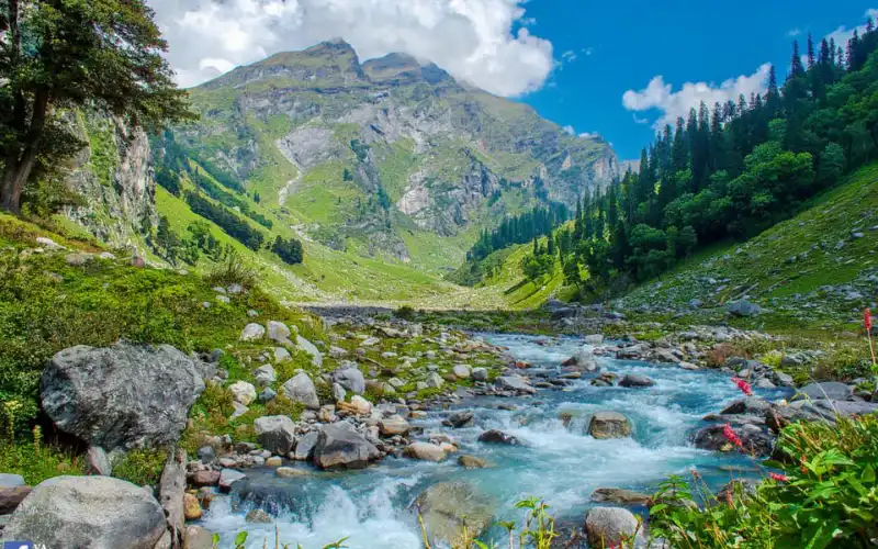
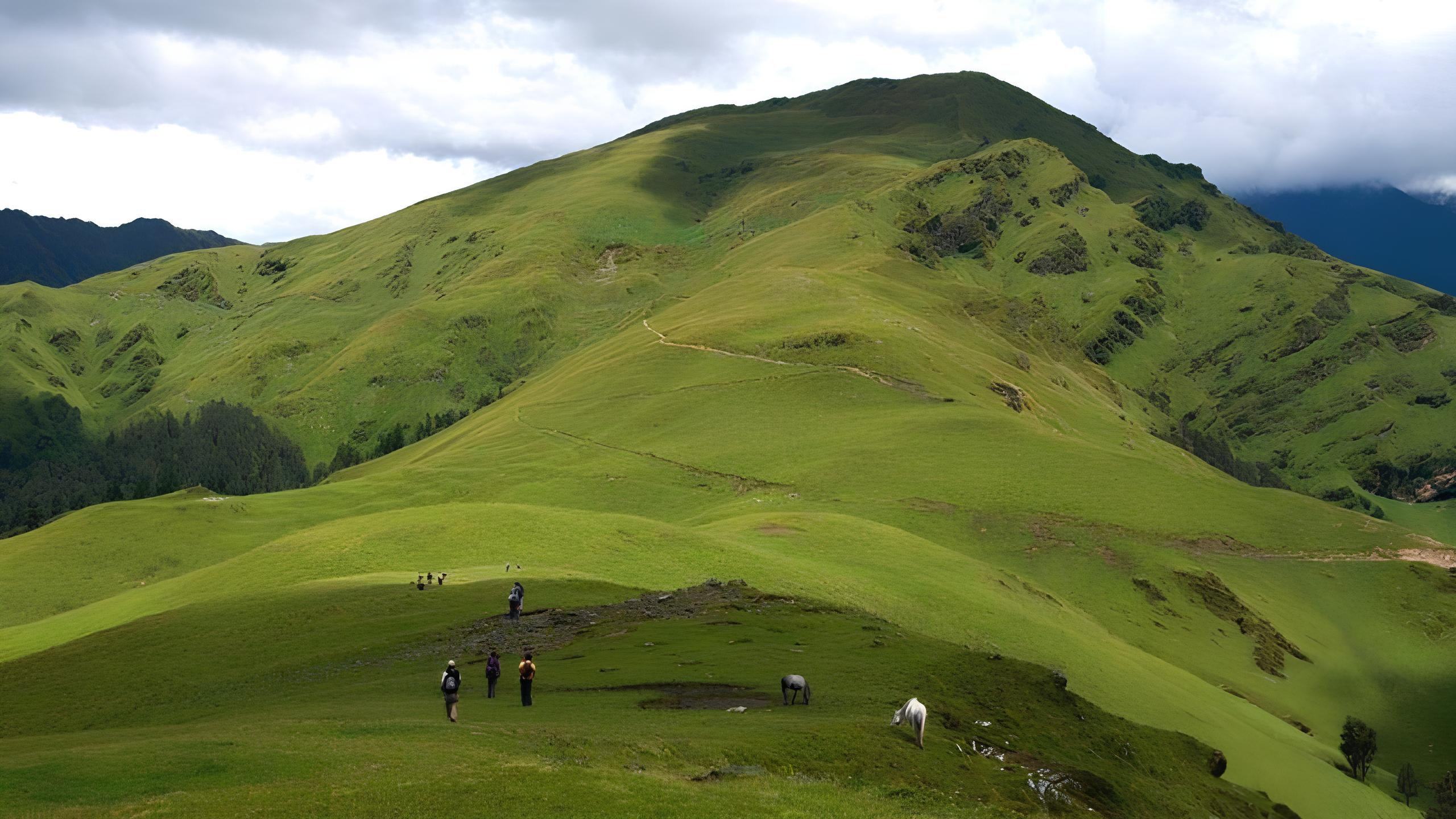
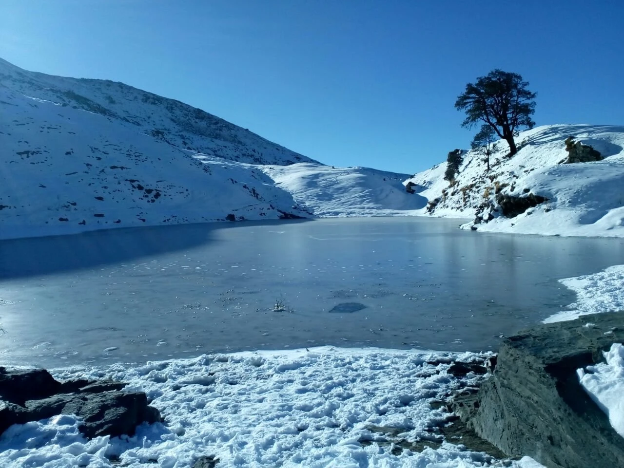
Forest Trails, Meadows, and Mountain Streams
The Namik Glacier Trek is known for its diverse terrain. Dense forest sections dominate the lower altitude zones, with thick vegetation providing shade and natural protection from strong winds. As trekkers move higher, the trail opens into wide alpine meadows locally known as bugyals. These grassy slopes offer panoramic views of surrounding valleys and snow-covered peaks. Numerous mountain streams and small waterfalls intersect the trekking route, adding to the scenic beauty and providing natural water sources. Seasonal changes significantly affect trail conditions, with spring bringing blooming flora and autumn offering clear skies and dry paths.
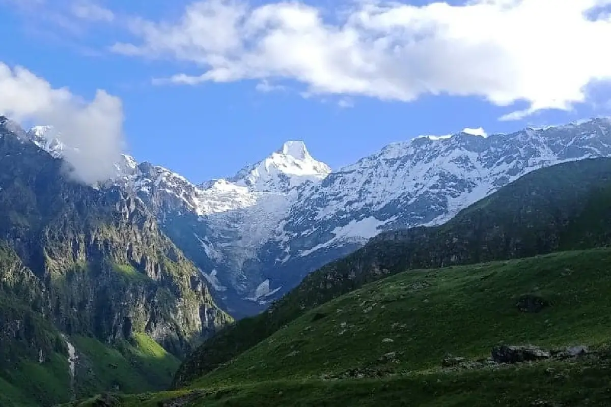
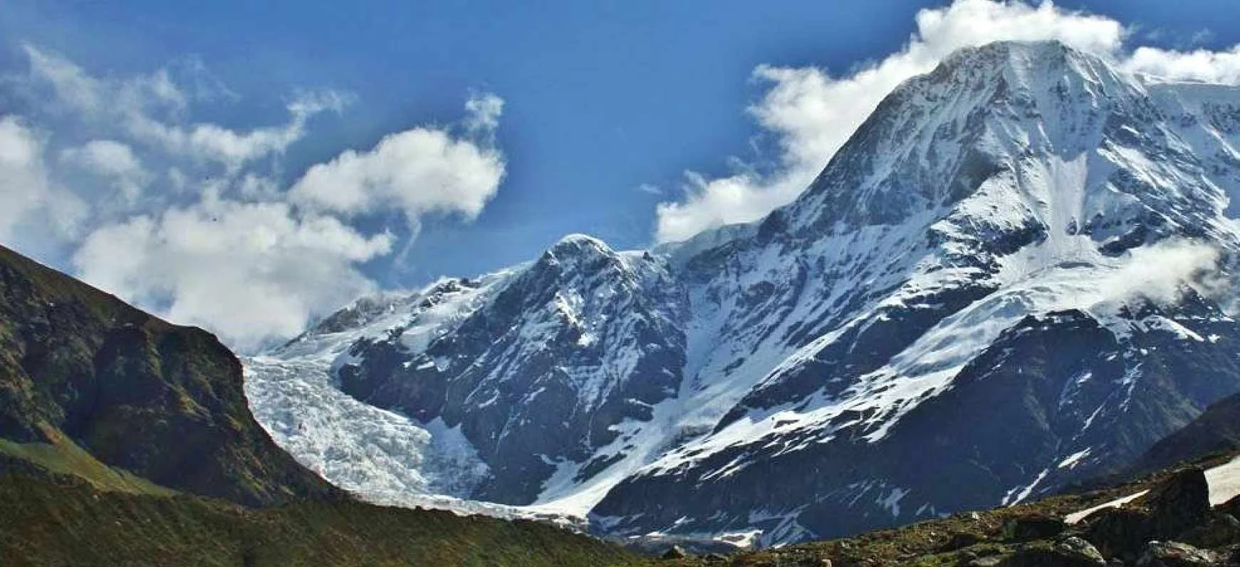
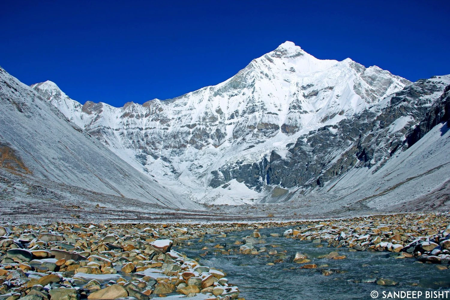
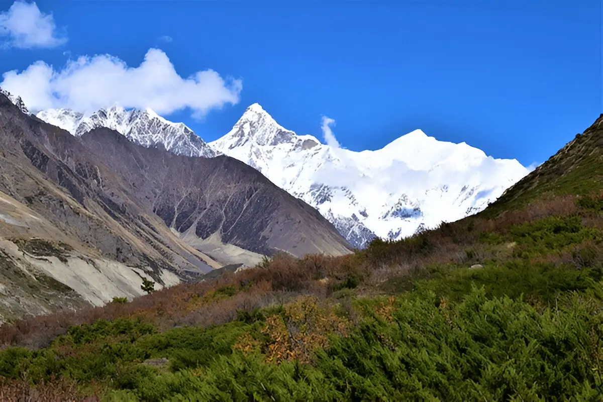
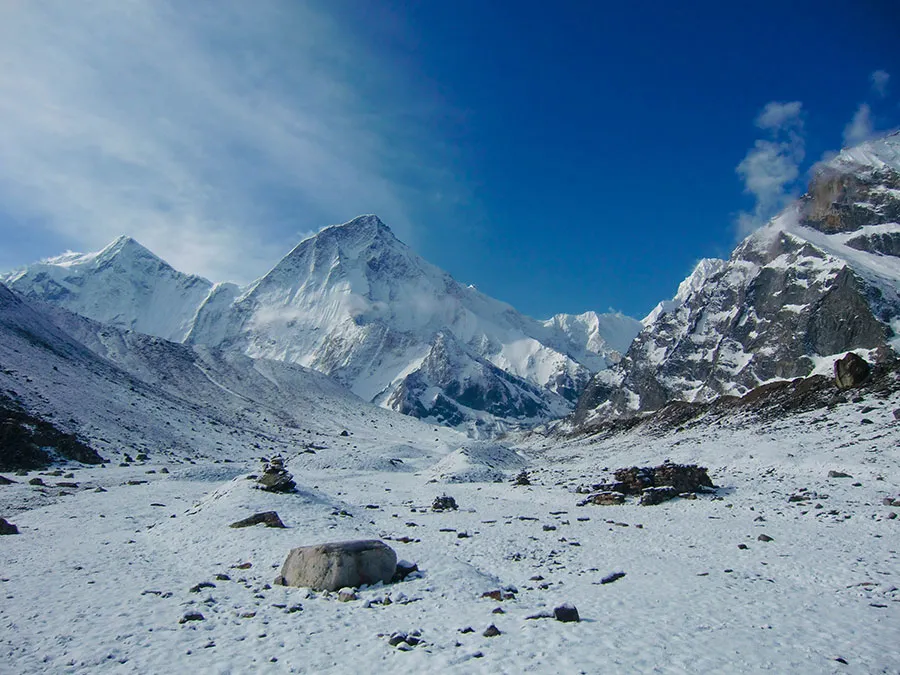
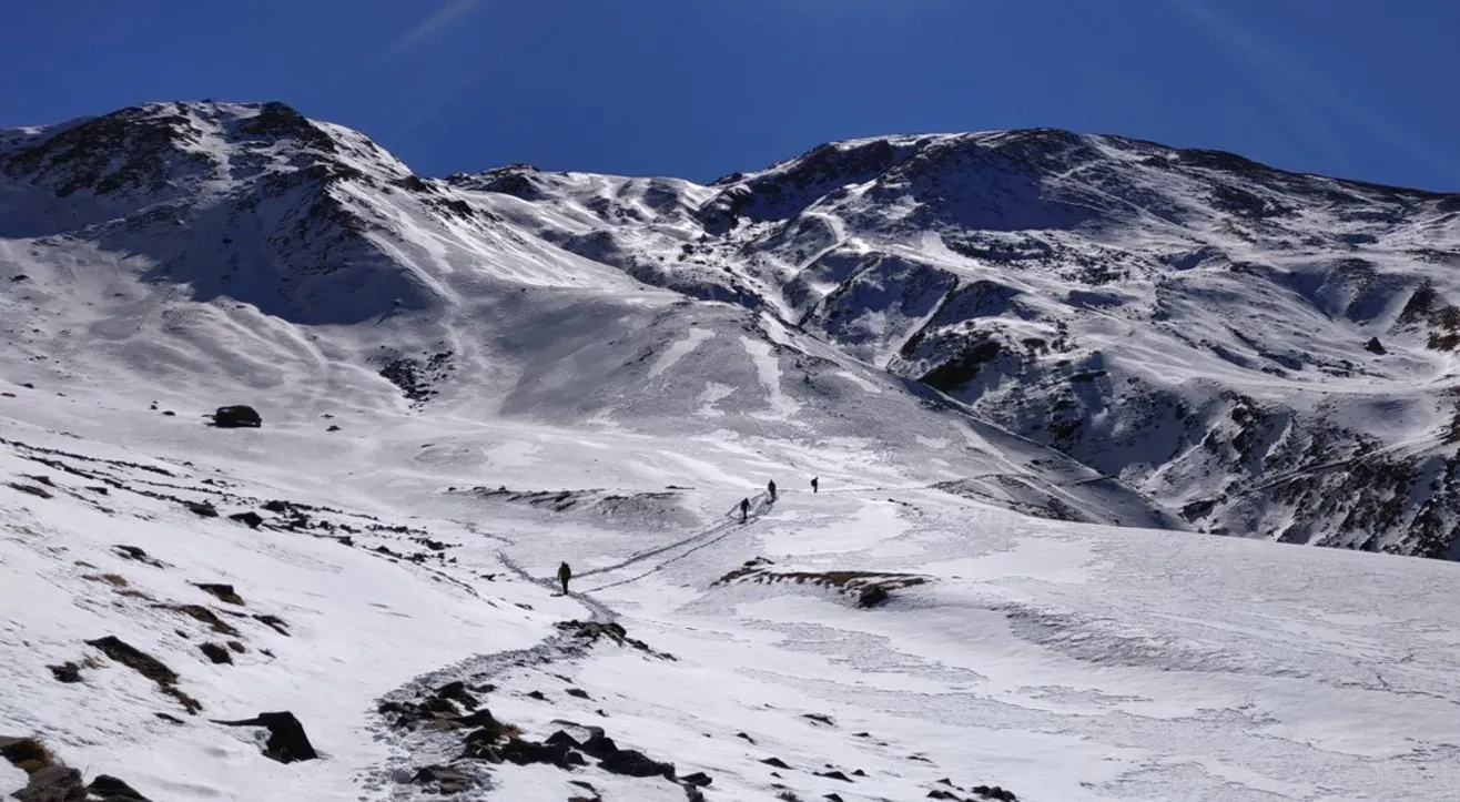
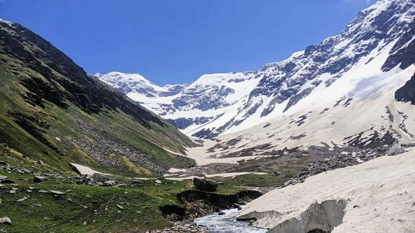
Glacier Approach and High-Altitude Landscape
The final approach to Namik Glacier involves traversing rocky terrain and glacial moraine sections. As vegetation becomes sparse, trekkers enter a rugged alpine environment characterized by loose stones and snow patches. The glacier itself lies beneath high mountain ridges and presents a dramatic contrast to the lush valleys below. Weather conditions near the glacier can be unpredictable, with sudden temperature drops and strong winds common at higher altitudes. Proper pacing and acclimatization are essential during this stage to ensure safety and enjoyment.
Seasonal Conditions and Trek Difficulty
The best time to attempt the Namik Glacier Trek is during the pre-monsoon months of April to June when trails are accessible and snow begins to melt. Post-monsoon months such as September and October also provide stable weather and excellent mountain visibility. Monsoon season brings heavy rainfall and increased landslide risk, making trekking unsafe. Winter months involve deep snow and freezing temperatures, requiring advanced trekking skills. The trek is generally classified as moderate due to its duration, altitude gain, and remote terrain.
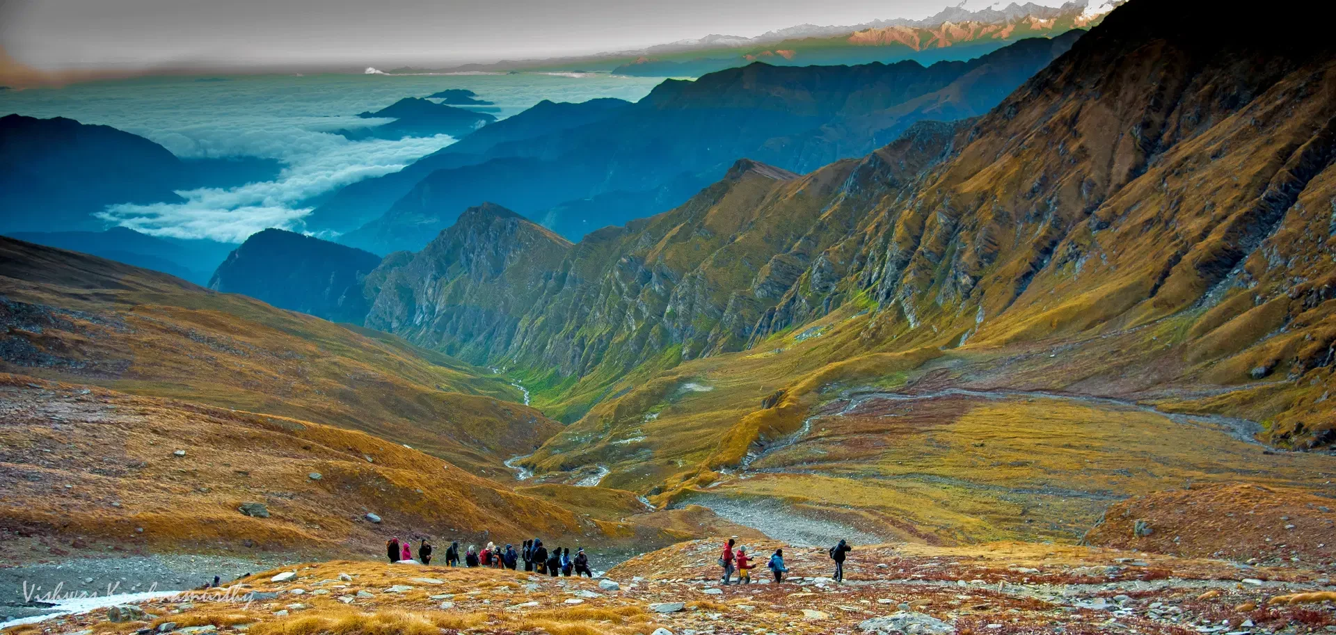
Overall Trekking Experience and Wilderness Appeal
The Namik Glacier Trek offers a complete Himalayan trekking experience that combines cultural exploration, ecological diversity, and high-altitude adventure. Its remote nature ensures minimal crowding, allowing trekkers to connect deeply with the mountain environment. The gradual ascent, scenic campsites, and rewarding glacier views make this trek suitable for individuals seeking both physical challenge and natural beauty. For trekkers preparing for more demanding Himalayan expeditions, Namik Glacier serves as an ideal intermediate-level trekking route.