


Hampta Pass Trek: A Dramatic Crossover from Green Kullu to Stark Spiti
The Hampta Pass Trek is one of the most visually diverse Himalayan treks, offering a rare transition between two completely different landscapes in just a few days. Located in Himachal Pradesh, this trek connects the lush green Kullu Valley with the cold desert terrain of Spiti. Rising to an altitude of about 4270 meters, Hampta Pass is often described as a crossover trek rather than a summit climb. What makes it special is how quickly the environment changes as you move higher, from forests and meadows to snowfields and barren mountains. For trekkers looking to experience contrast, variety, and high-altitude adventure within a short timeframe, Hampta Pass delivers consistently.
Trail Route and Changing Landscapes
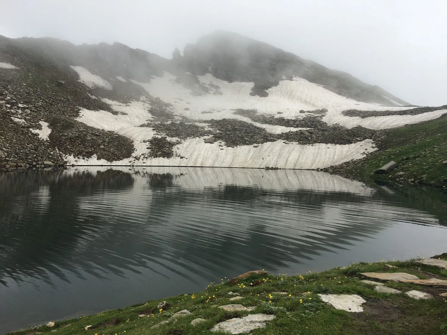
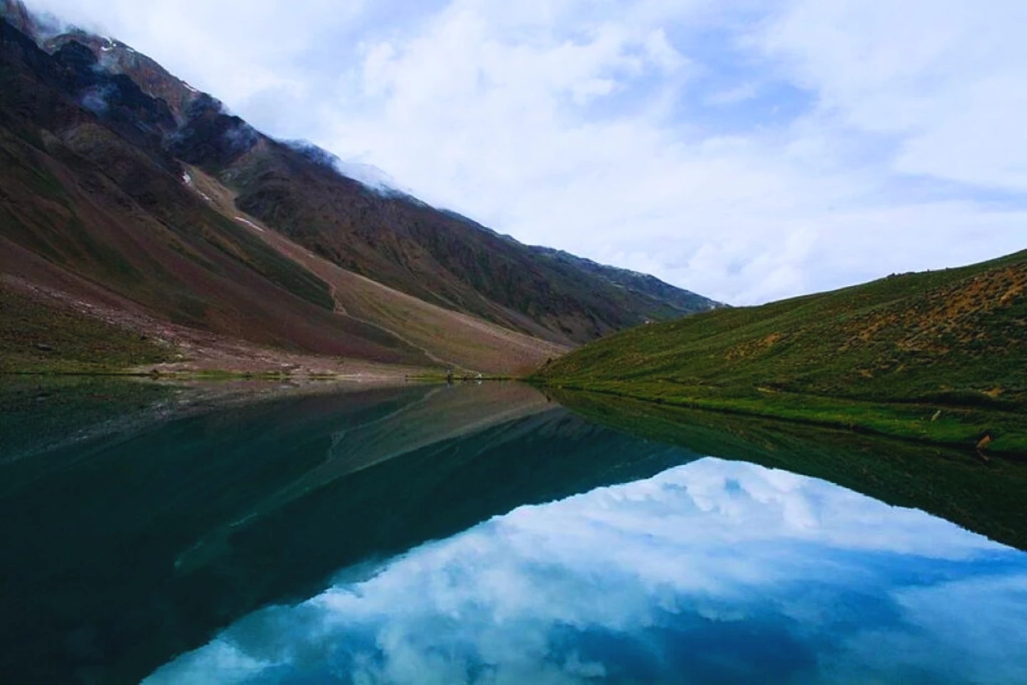
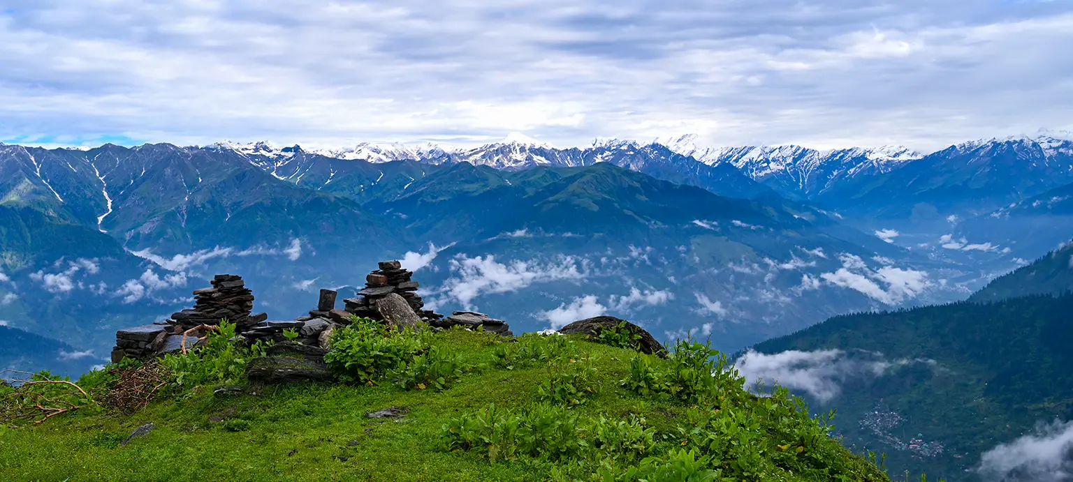
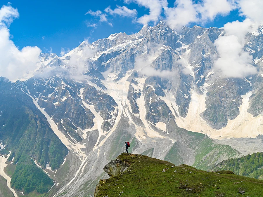
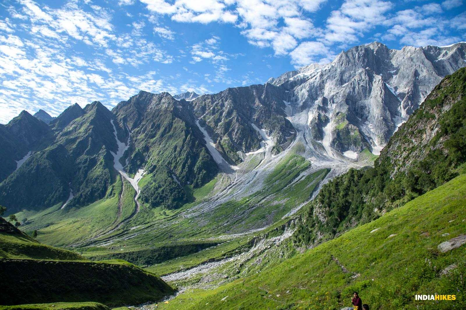
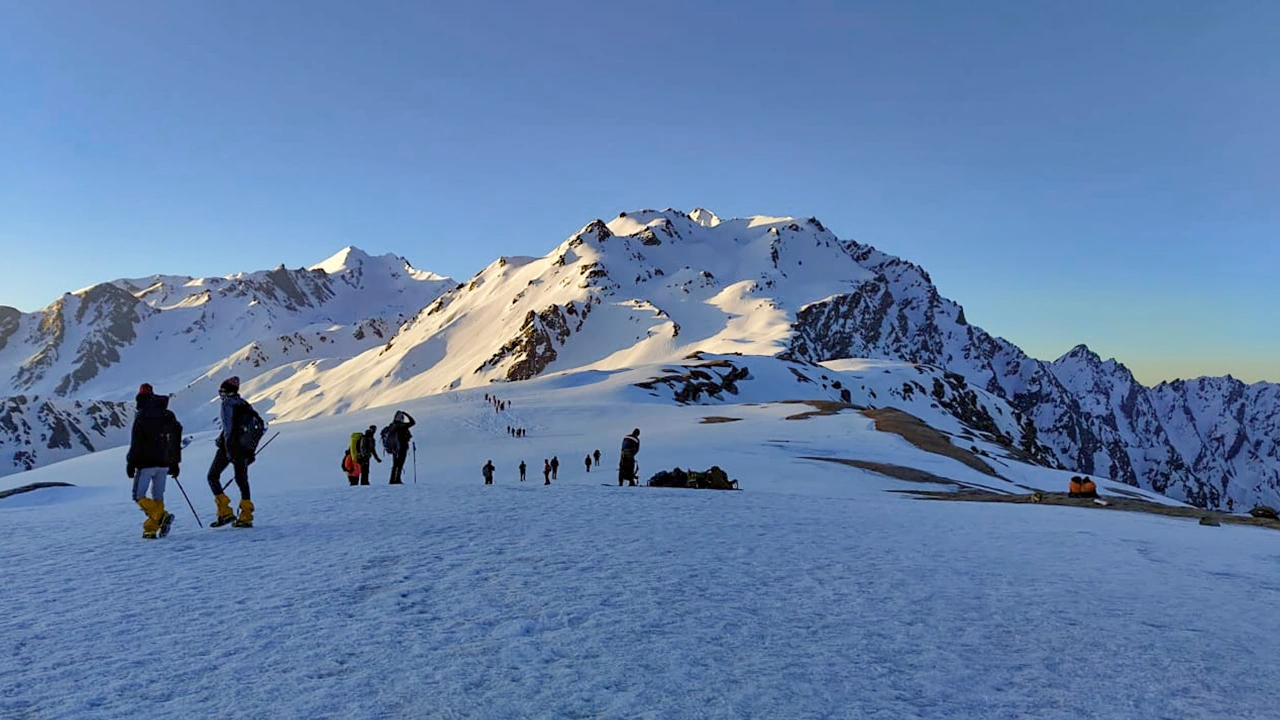
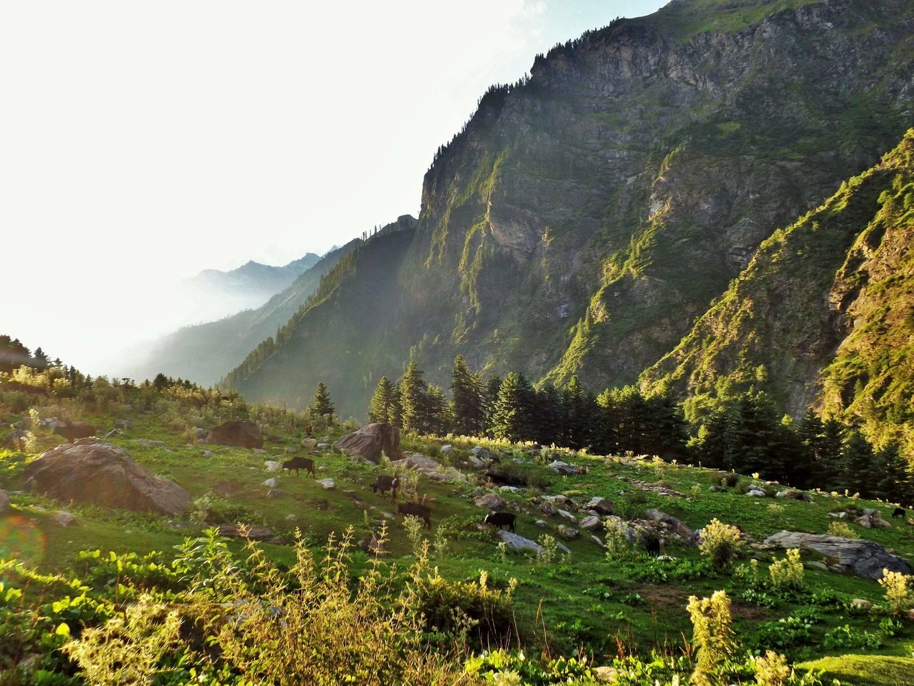
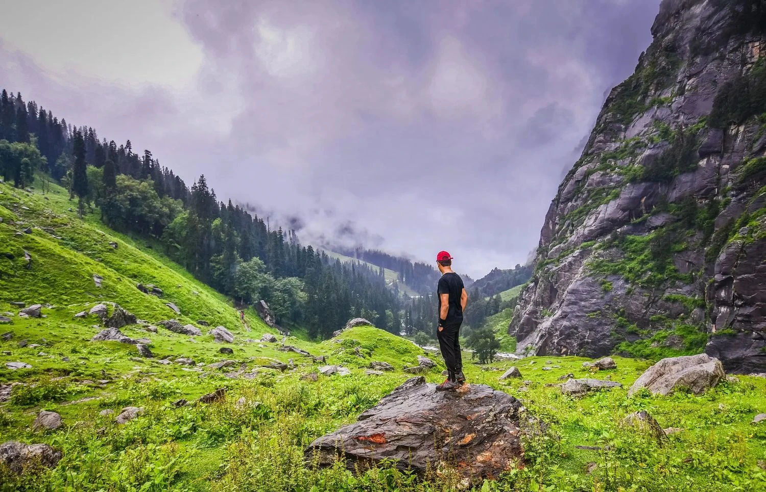
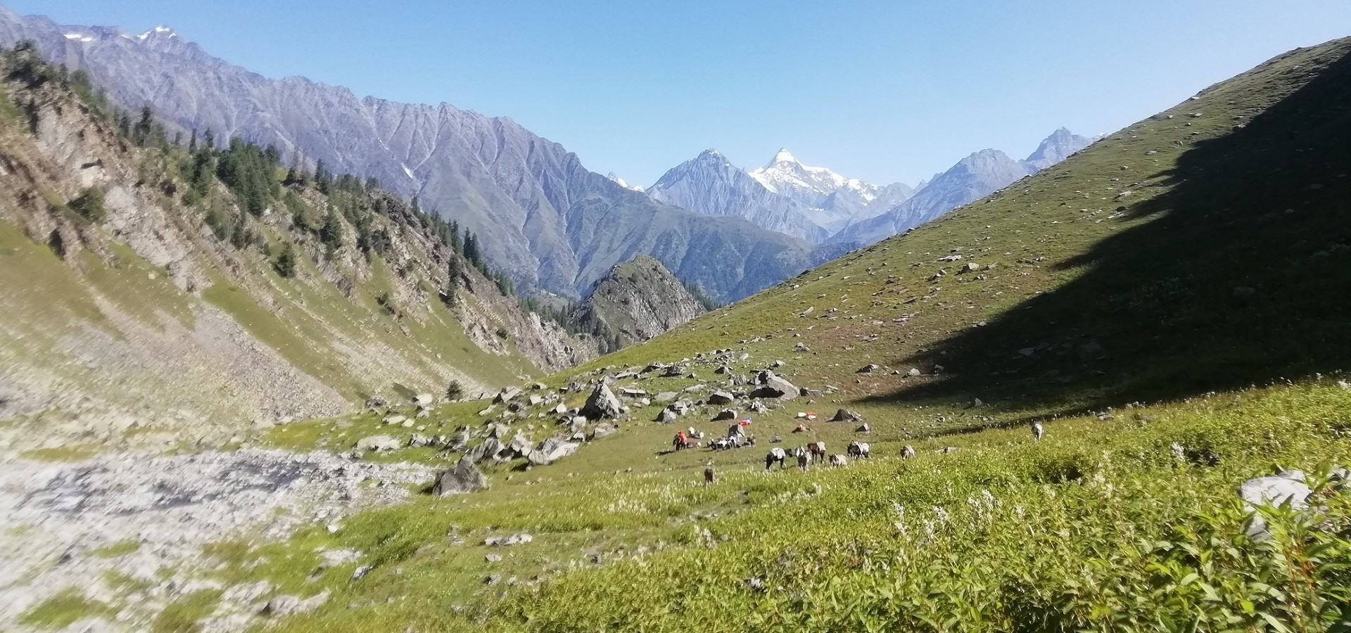
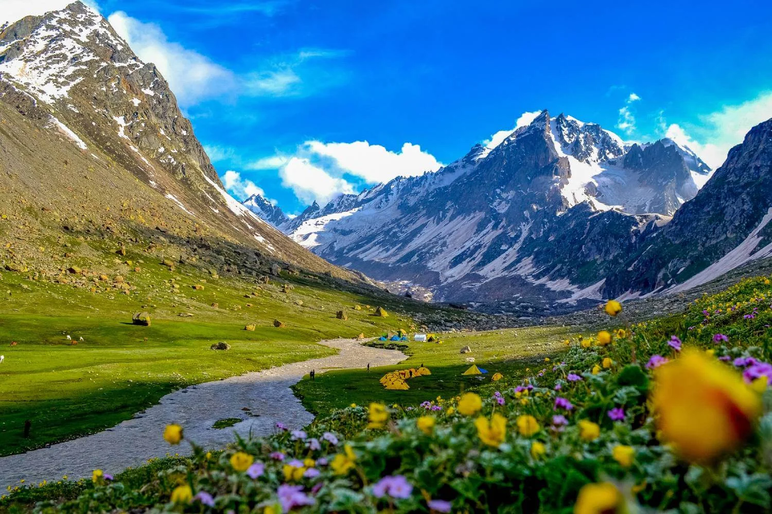
The trek begins near Manali, at Jobra, and initially moves through dense forests of pine, maple, and oak. The early sections are rich in vegetation, with flowing streams and wide meadows that feel almost alpine in character. As the trail progresses, the valley opens into expansive grasslands such as Jwara and Balu Ka Ghera, surrounded by steep mountain walls. The ascent toward Hampta Pass itself introduces snow patches, loose scree, and rocky terrain. Crossing the pass marks a dramatic shift, as the green landscape gives way to the brown and grey tones of Spiti Valley. This sharp contrast is one of the defining features of the Hampta Pass Trek and keeps the experience engaging throughout.
Weather Patterns and Best Time to Trek
Hampta Pass is primarily a summer trek, accessible from late June to September. Early in the season, trekkers can expect significant snow near the pass, making the crossing more adventurous. As the season progresses, snow gradually melts, revealing rocky trails and glacial streams. Daytime temperatures usually range between 12 and 20 degrees Celsius in the lower camps, while higher camps near the pass can be much colder, especially at night. Afternoon weather can be unpredictable, with occasional rain or snowfall near the pass. This variability makes proper layering and weather preparedness essential. September offers clearer skies and sharper mountain views, though nights are noticeably colder.
Difficulty Level and Physical Preparation
The Hampta Pass Trek is classified as moderate in difficulty. While it does not require technical climbing skills, it involves steady ascents, long walking hours, and a high-altitude pass crossing. The altitude gain is gradual, which helps with acclimatization, but the pass day can be physically demanding due to steep climbs and descent over loose terrain. Trekkers with basic fitness levels, including regular walking or light cardio training, can prepare effectively for this trek. The variety of terrain keeps the body engaged, and mental focus is especially important during the pass crossing.
Why Hampta Pass Is Ideal for First-Time High-Altitude Trekkers
Hampta Pass is often recommended as a first high-altitude trek because it offers exposure to snow, river crossings, and changing terrain without being excessively long or remote. Campsites are well spaced, allowing proper rest and recovery. The proximity to Manali makes logistics simpler, and emergency access is comparatively better than in more remote regions. The trek also provides a strong sense of progression, with each day presenting a new environment. Ending the trek in Spiti Valley adds a sense of completion and cultural contrast. For those looking to step beyond beginner trails and experience true Himalayan diversity, Hampta Pass serves as a balanced and rewarding choice.