Satopanth Lake Trek
Home/Treks/Satopanth Lake Trek
Moderate to Difficult

Satopanth Lake Trek

Uttarakhand, India
Starting from
--
per person
0 operators available
Duration6-7 Days
Max Altitude4600 m
Trek Distance48 km
Starting PointBadrinath

Compare offers

Compare pricing from operators

Fetching latest offers

Itinerary

Day1

Badrinath to Lakshmi Van

9 km
5-6 hours
3800 m

Begin from Mana village near Badrinath.

Cross Bhim Pul and follow the Alaknanda valley.

Reach Lakshmi Van campsite surrounded by birch trees.

Day2

Lakshmi Van to Chakrateertha

8 km
5-6 hours
4200 m

Trek across glacial moraine and rocky terrain.

Enjoy views of Chaukhamba and Satopanth Peak.

Camp at Chakrateertha.

Day3

Chakrateertha to Satopanth Lake

5 km
4-5 hours
4600 m

Ascend gradually through moraine and glacial terrain.

Reach the sacred Satopanth Tal.

Explore the lakeside and enjoy panoramic Himalayan views.

Day4

Exploration Around Satopanth Lake

4 km
3-4 hours
4600 m

Spend time exploring the lake and nearby viewpoints.

Photograph Chaukhamba, Balakun, and Neelkanth peaks.

Acclimatize and enjoy the remote alpine environment.

Day5

Satopanth Lake to Lakshmi Van

13 km
6-7 hours
3800 m

Retrace the route via Chakrateertha.

Descend through moraine sections to Lakshmi Van.

Day6

Lakshmi Van to Badrinath

9 km
4-5 hours
3133 m

Complete the final descent to Mana and Badrinath.

Conclude the trek with views of the Alaknanda valley.

Packing List

Satopanth Lake Trek: A Sacred Himalayan Journey to the Triangular Lake of the Gods

The Satopanth Lake Trek is one of the most fascinating high-altitude adventures in the Garhwal Himalayas of Uttarakhand. Nestled at an altitude of approximately 4,600 meters, Satopanth Tal is a pristine glacial lake renowned for its unique triangular shape and immense religious significance. According to local beliefs, the three corners of the lake are associated with Lord Brahma, Lord Vishnu, and Lord Shiva. The trek begins near the holy town of Badrinath and follows a dramatic route through glacier-carved valleys, moraine fields, alpine meadows, and some of the most spectacular mountain scenery in India. Combining spirituality, mythology, and raw Himalayan beauty, the trek offers an unforgettable experience for those seeking both adventure and solitude.

Tracing Ancient Pilgrimage Routes Beyond Badrinath

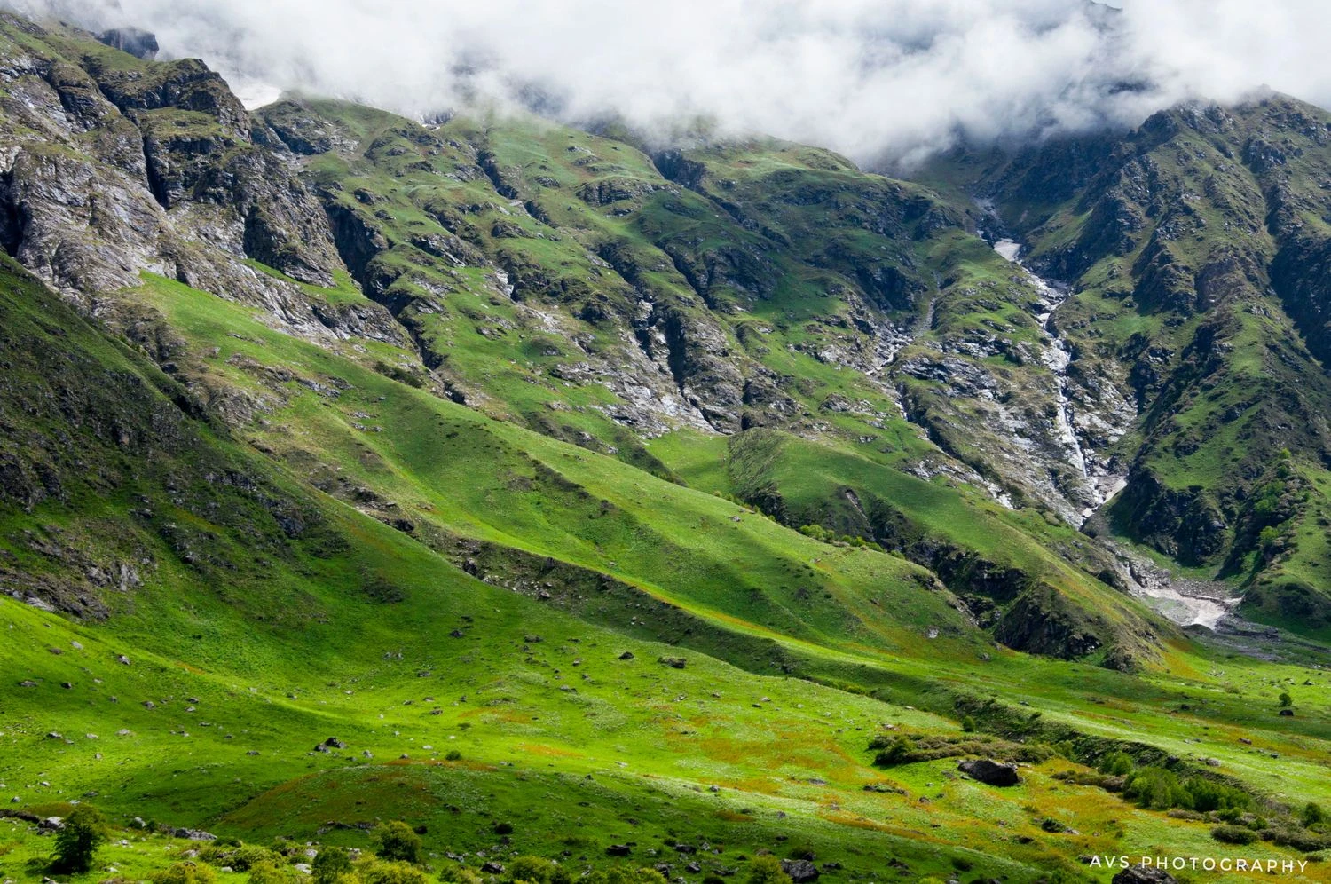
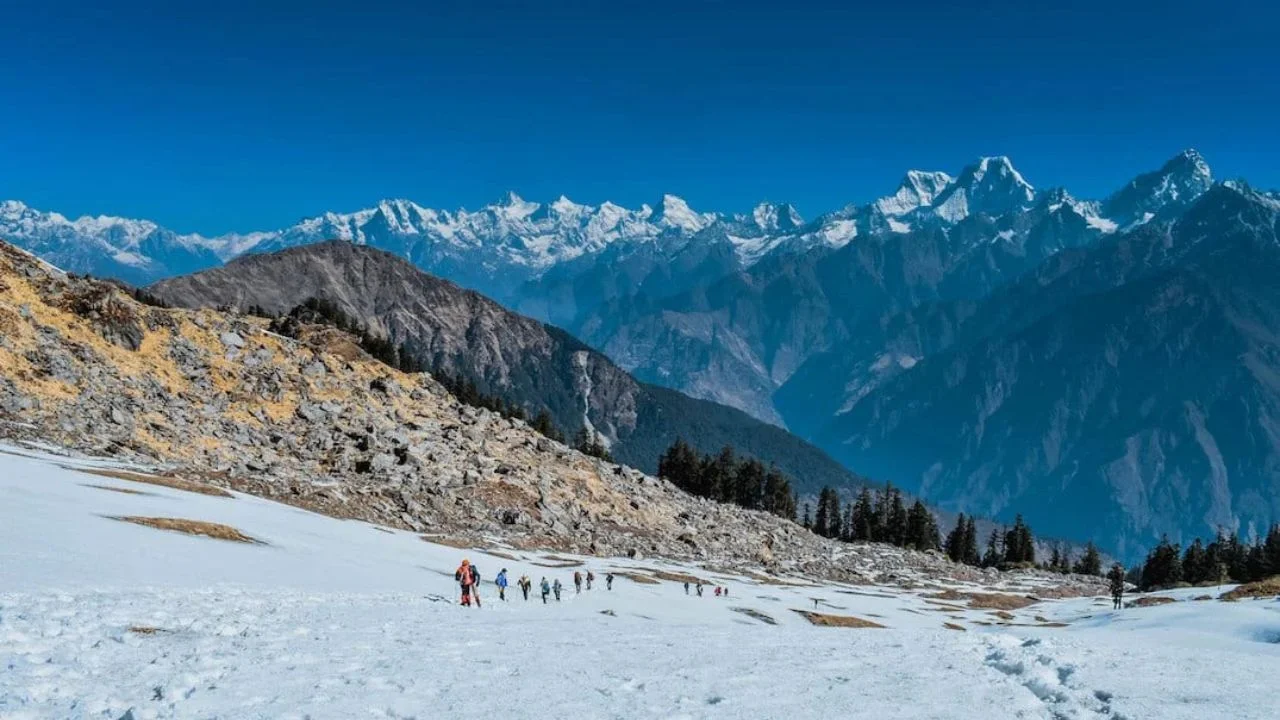
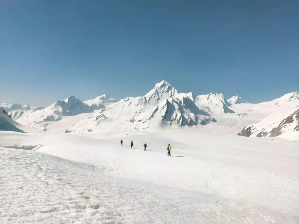
The journey begins from Mana, India's last village before the Tibetan border. Rich in mythology and history, Mana is home to several sites associated with the Mahabharata, including Bhim Pul and the route believed to have been taken by the Pandavas during their final ascent toward heaven. The trail gradually follows the Alaknanda River beyond civilization and enters a landscape dominated by towering cliffs, glacial streams, and barren Himalayan terrain. Unlike forested Himalayan treks, Satopanth offers a rugged high-altitude environment where every step reveals increasingly dramatic views of the surrounding mountains.

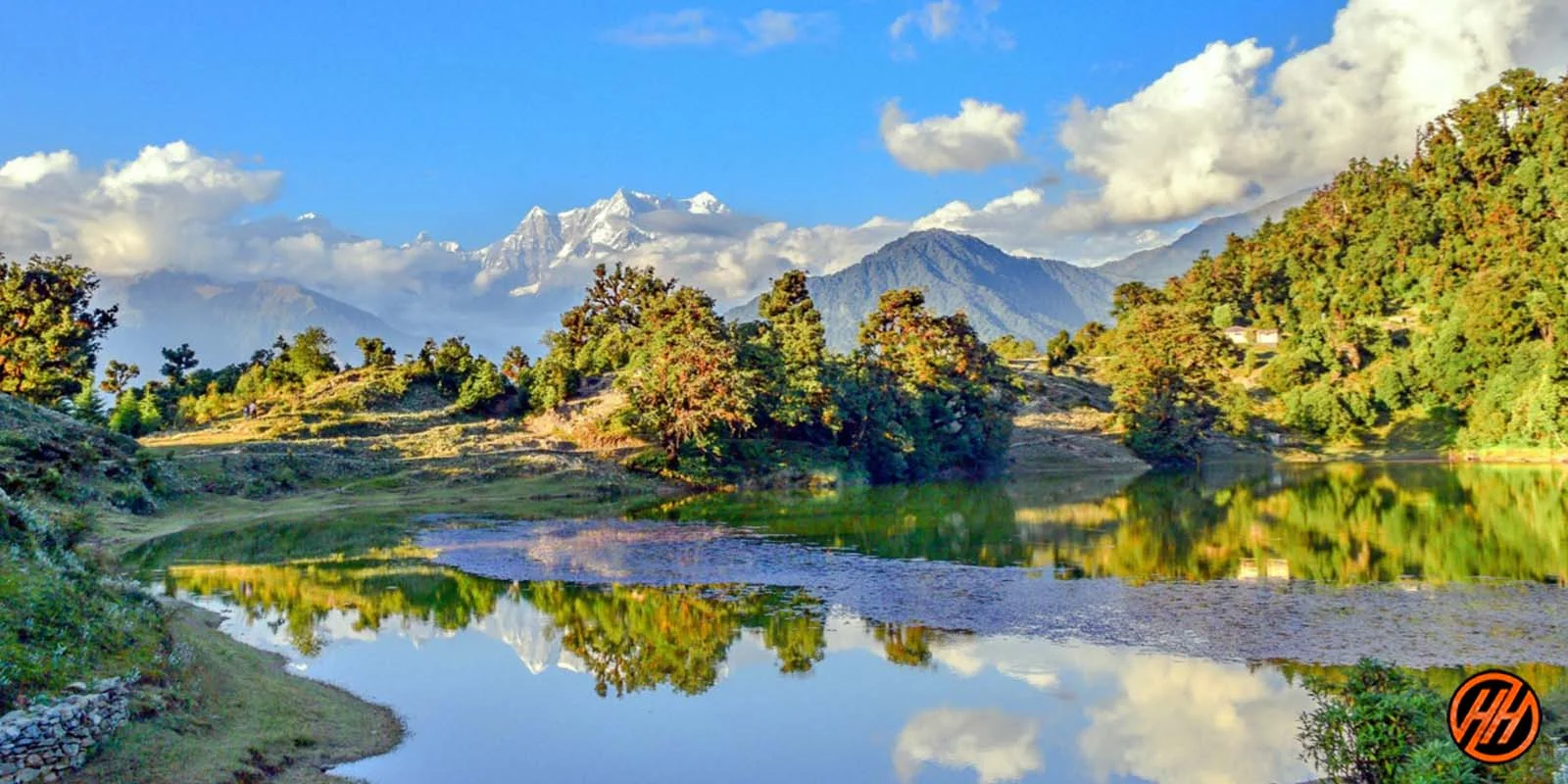
The Beauty of Lakshmi Van and Chakrateertha

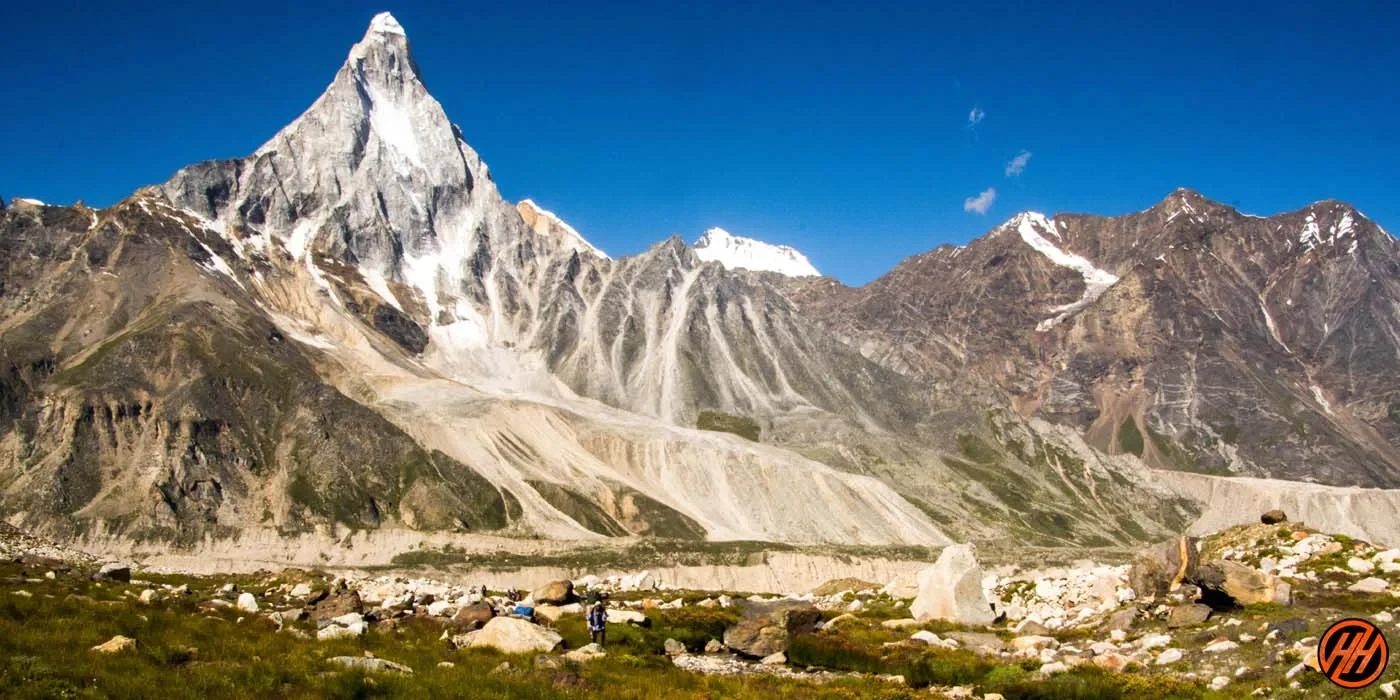
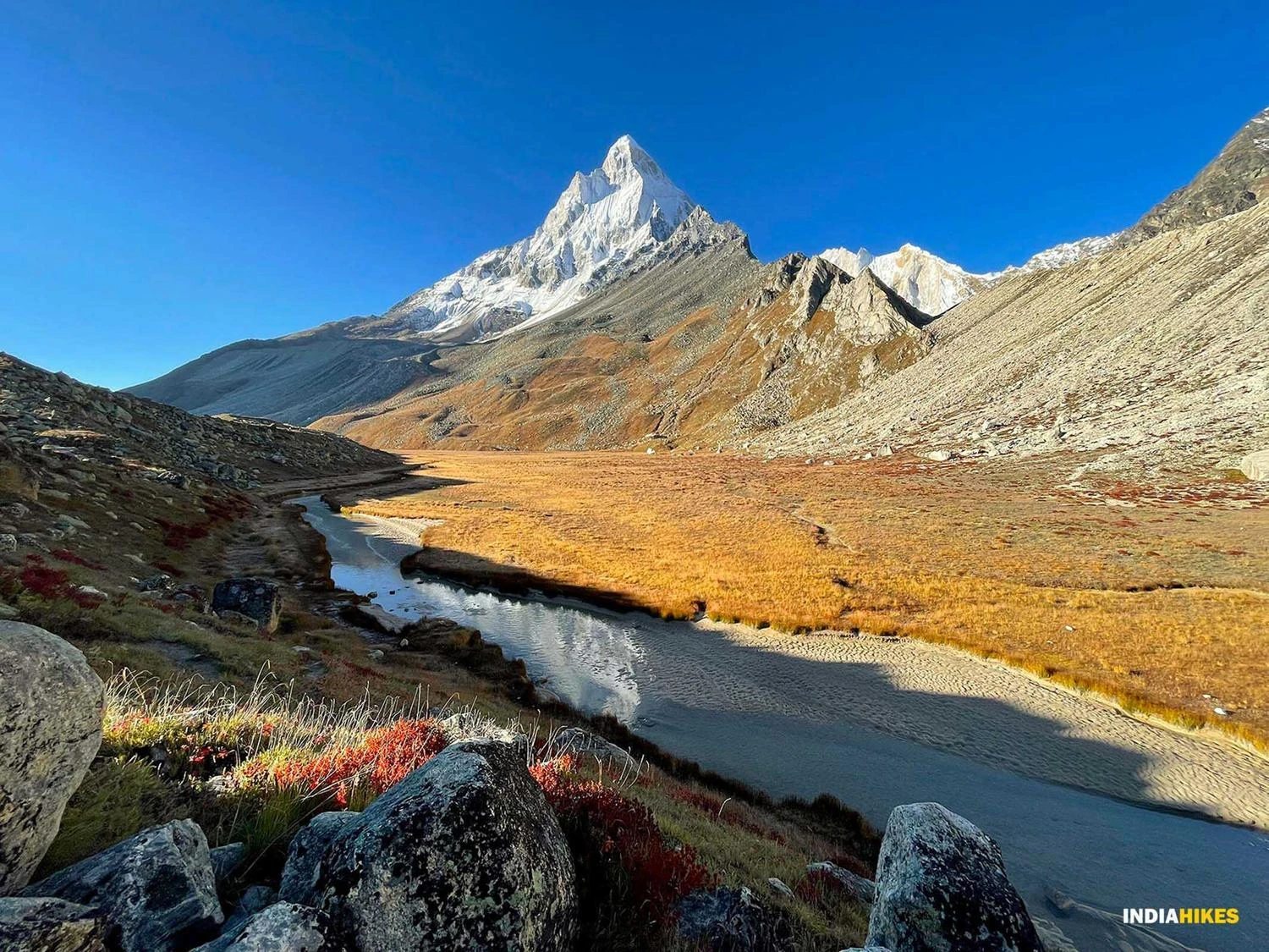
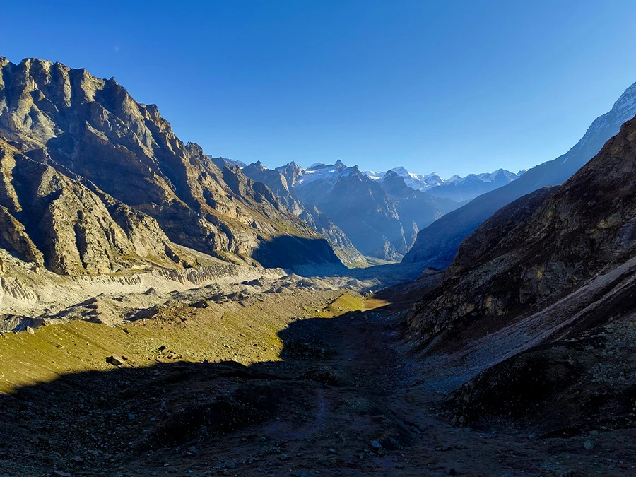
Along the route, trekkers pass through remarkable campsites such as Lakshmi Van and Chakrateertha. Lakshmi Van is known for its rare birch trees and patches of vegetation that stand in contrast to the otherwise rocky landscape. Further ahead, Chakrateertha offers breathtaking views of some of the highest peaks in the region, including Chaukhamba, Neelkanth, Balakun, and Satopanth Peak. Massive glaciers and moraine fields dominate the scenery, providing a glimpse into the geological forces that continue to shape the Garhwal Himalayas. These campsites serve as ideal locations for acclimatization and photography.

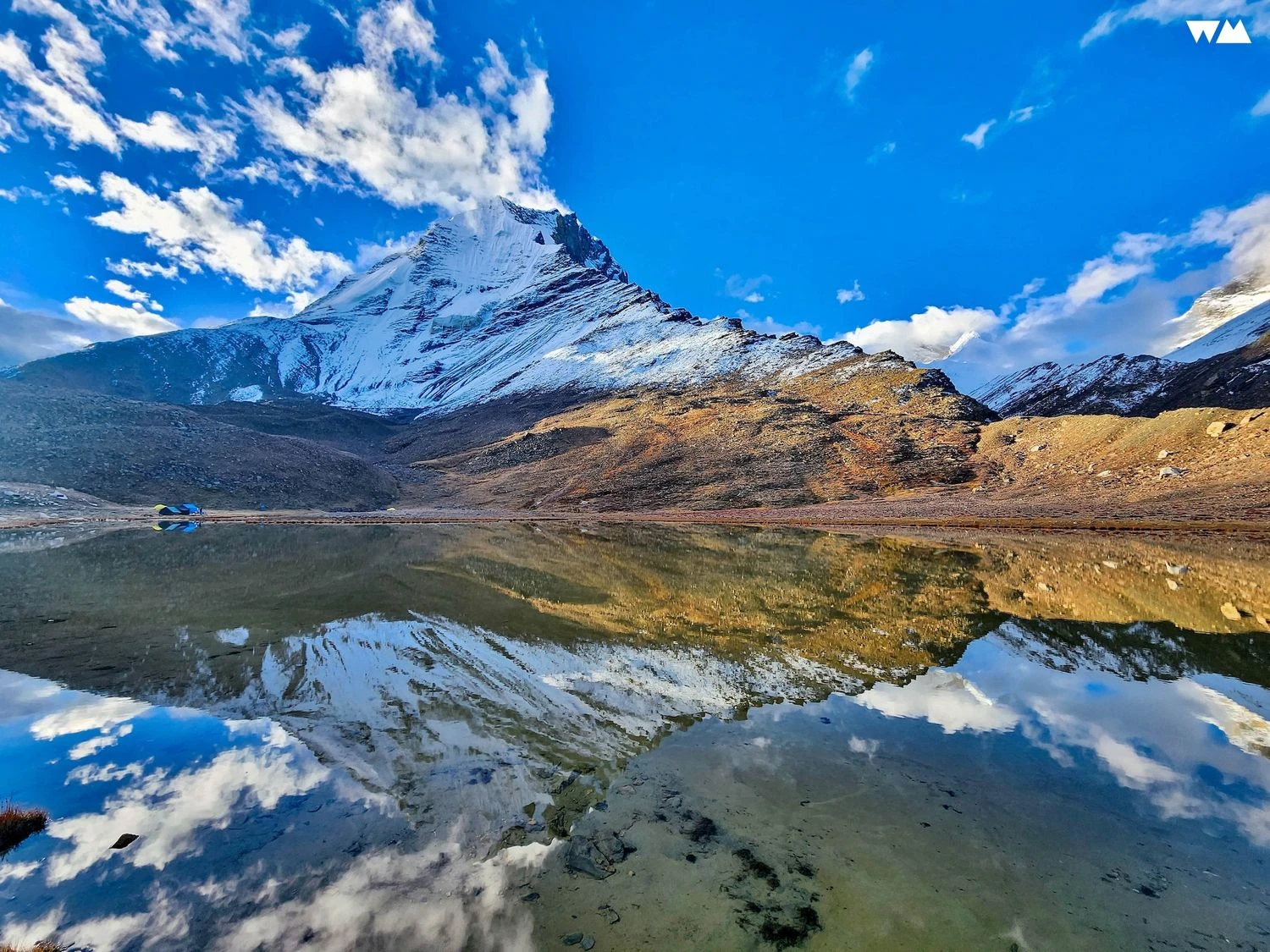
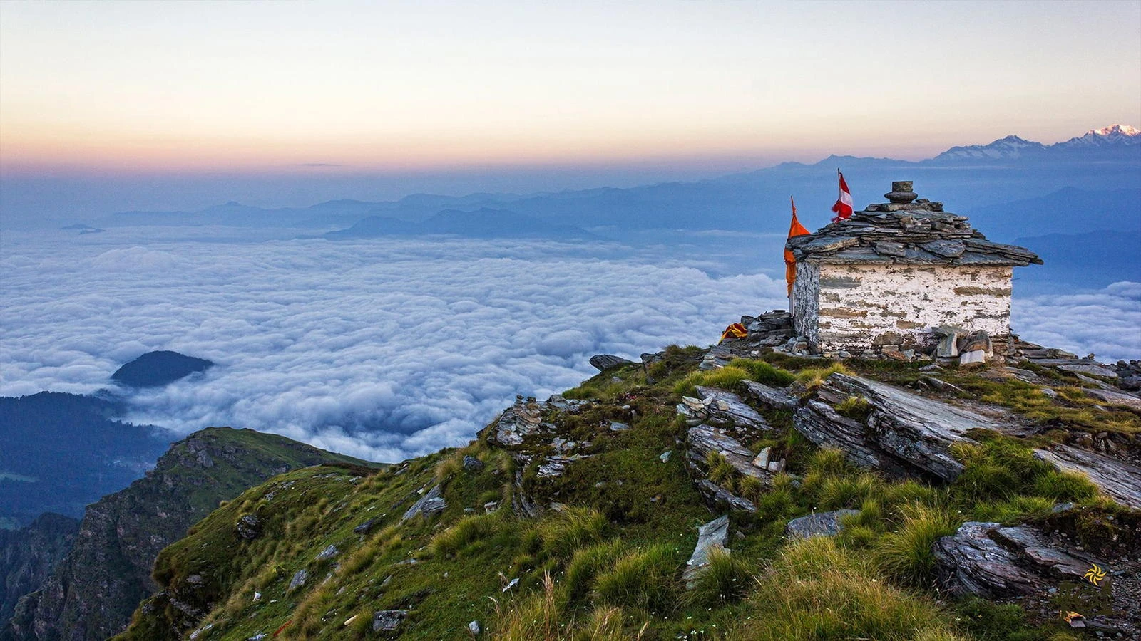
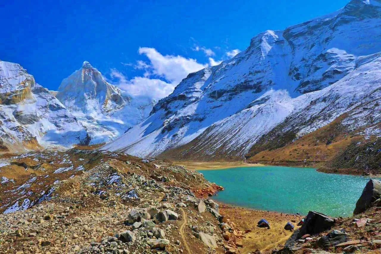
Satopanth Tal and Its Spiritual Significance

The highlight of the trek is undoubtedly Satopanth Tal itself. Surrounded by snow-covered peaks and glaciers, the lake remains remarkably clear despite its harsh environment. Pilgrims believe that celestial beings visit the lake on auspicious occasions, and many sadhus undertake the difficult journey as part of their spiritual practice. The lake's triangular form makes it unique among Himalayan lakes and contributes to its religious importance. Standing beside its tranquil waters while surrounded by towering mountains creates a sense of peace and isolation rarely found elsewhere in the Himalayas.

Why Satopanth Lake Is One of Uttarakhand's Finest Treks

The Satopanth Lake Trek combines challenging terrain, mythological significance, and exceptional mountain scenery into a single Himalayan expedition. The route offers close views of glaciers, high-altitude camps, and some of the most iconic peaks in Uttarakhand. Unlike heavily trafficked trekking routes, Satopanth remains relatively untouched, preserving its wilderness character and spiritual atmosphere. Trekkers are rewarded not only with a spectacular destination but also with a journey through landscapes deeply connected to India's cultural and religious heritage. For those seeking a trek that combines adventure with profound natural beauty, Satopanth Lake remains one of the most rewarding experiences in the Indian Himalayas.

Best Month to Visit

Best
Moderate
Avoid

Nearest airport

Jolly Grant Airport, Dehradun

Nearest railway

Rishikesh Railway Station

Friday 12 Jun
Start point6° / 10°
Snow
10°
05:08
19:14
89%
Summit-3° / 2°
Snow
2°
05:09
19:15
93%
Hourly temperature°C
Main trek location
Starting point

Frequently asked questions

Everything you need to know about this trek, including route conditions, transport, preparation, weather, permits, and trekking difficulty.

Satopanth Tal is situated at approximately 4,600 meters above sea level.

According to Hindu belief, the three corners of the triangular lake are associated with Brahma, Vishnu, and Shiva.

The trek is moderately difficult due to high altitude, moraine sections, and long walking days.

Fit beginners with prior trekking experience can attempt it, but acclimatization is essential.

Chaukhamba, Neelkanth, Balakun, Satopanth Peak, and several Garhwal Himalayan summits are visible.

Forest permissions and local registrations may be required depending on current regulations.

Camping is generally done at designated areas near the lake while following local environmental guidelines.

May through September offers the most stable weather and accessible trail conditions.

The region supports Himalayan tahr, blue sheep, foxes, and various high-altitude bird species.

The lake is approximately 24 kilometers from Badrinath, making the round-trip trekking distance around 48 kilometers.

Mountain trail

Browse all treks in one place

Discover trekking routes across India with filters for duration, weather, difficulty, altitude, and season.

20+
Regions
100+
Treks
All Seasons
Year Round
Trek smarter

Compare weather, route conditions, transport access, and difficulty.

More Treks Nearby This

Explore all treks
Trek Safety & Etiquette

Essential trekking guidelines

Responsible trekking protects mountains, wildlife, local culture, and your own safety. Follow these guidelines before heading into the trails.

Obtain Required Permits

Many trekking destinations require official permits from local authorities. Apply early to avoid fines or denied entry.

Respect Nature and Wildlife

Follow Leave No Trace. Avoid littering, loud noise, and disturbing wildlife or fragile vegetation.

Travel with a Guide

Some high-altitude and border routes legally require certified guides for navigation and safety.

Camp at Approved Sites

Unauthorized camping and bonfires can damage ecosystems and may violate local regulations.

Respect Local Culture

Dress respectfully, ask before photographing locals, and honor regional customs and sacred places.

Follow Weather Advisories

If authorities halt trekking due to weather or hazards, comply immediately for your safety.

Stay Within Allowed Zones

Do not cross restricted or protected boundaries without official permissions.

Follow Group Instructions

Stay with your group, maintain pacing discipline, and avoid trekking alone on unknown trails.