


Kang Yatse II Summit Trek: A Non-Technical Himalayan Peak Above Markha Valley
The Kang Yatse II Summit Trek is one of the most rewarding high-altitude trekking and mountaineering experiences in Ladakh. Rising to an altitude of around 6250 meters, Kang Yatse II is considered one of the most accessible trekking peaks in the Indian Himalayas. Located within the scenic Markha Valley region of Hemis National Park, the expedition combines cultural exploration, dramatic mountain landscapes, and the thrill of summit climbing. Unlike standard trekking routes, this journey gradually transitions from river valley trails and remote Ladakhi villages to glacier travel and high-altitude snow slopes. For trekkers aiming to attempt their first Himalayan summit, Kang Yatse II offers an ideal balance between challenge and achievable mountaineering exposure.
Approach Through Markha Valley and Ladakhi Villages
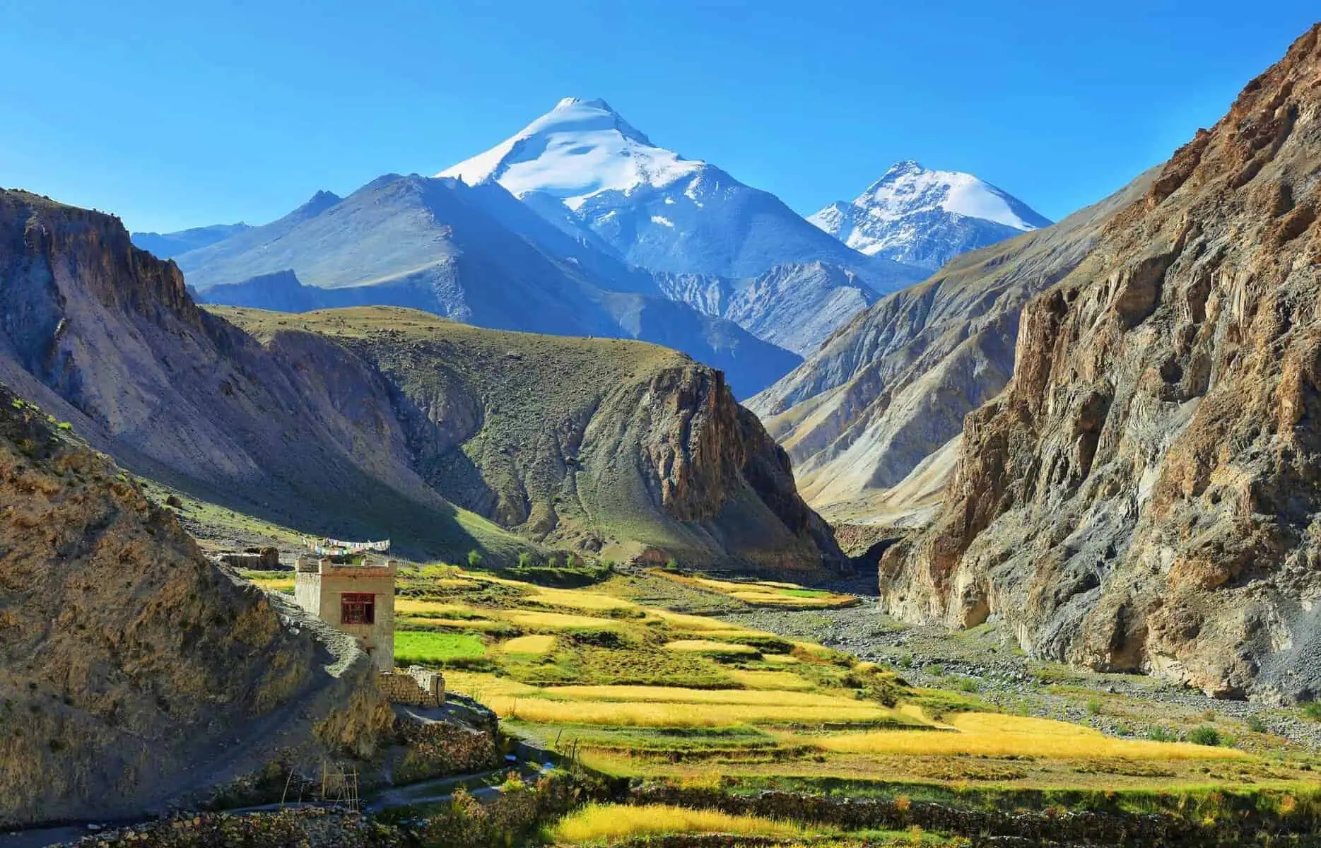
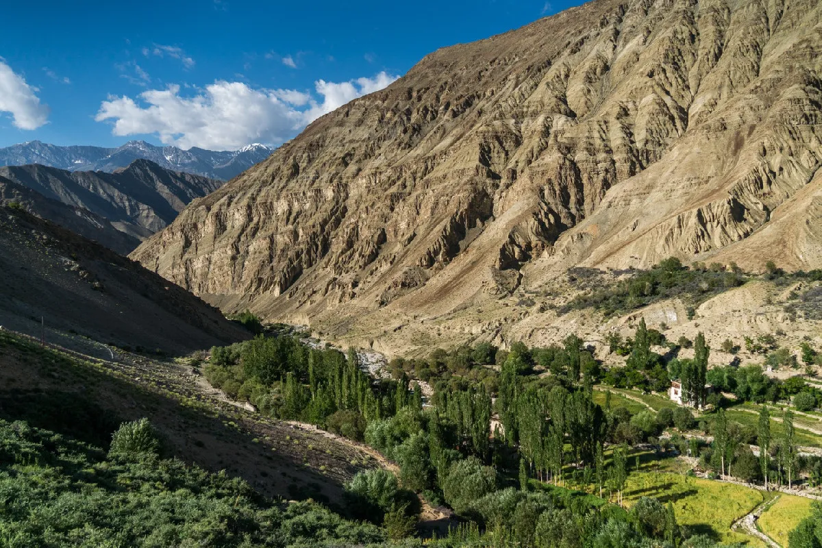
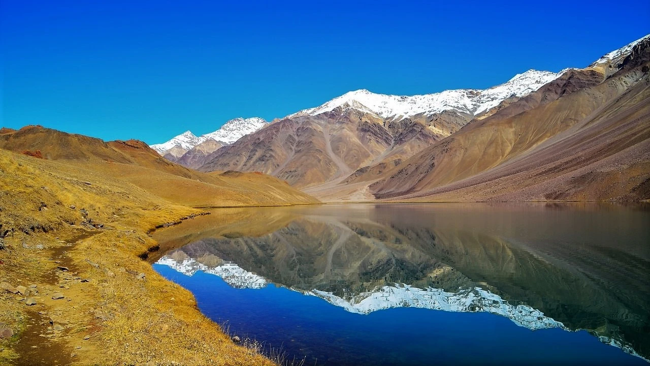
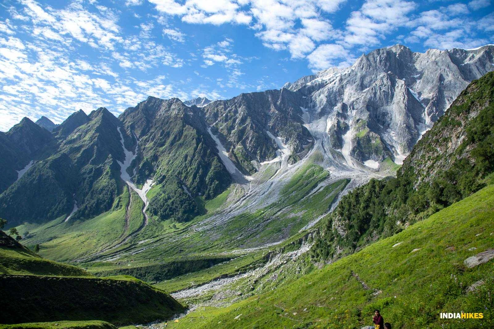
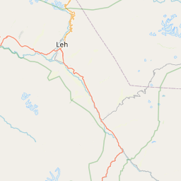
The trek typically begins from Skiu village after a drive from Leh. The initial days are spent walking through the wide Markha Valley, characterized by barren mountains, green agricultural fields, and traditional mud-brick settlements. Trekkers cross shallow streams and suspension bridges while gradually gaining altitude. This section serves as essential acclimatization before entering more demanding terrain. The valley is dotted with monasteries, prayer flags, and ancient ruins, providing insight into the cultural heritage of the region. Clear skies and dry conditions during summer months make the approach visually striking and physically manageable.
High-Altitude Camps and Transition to Alpine Terrain
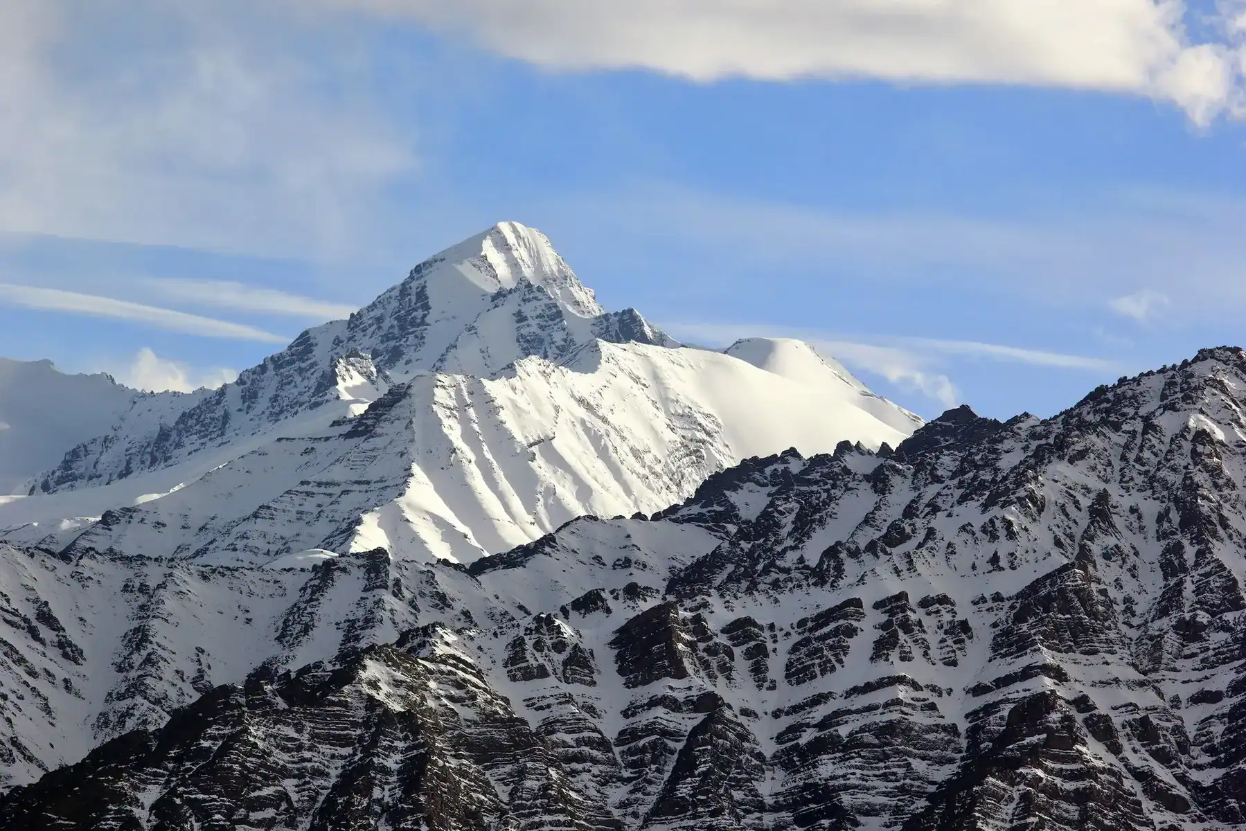
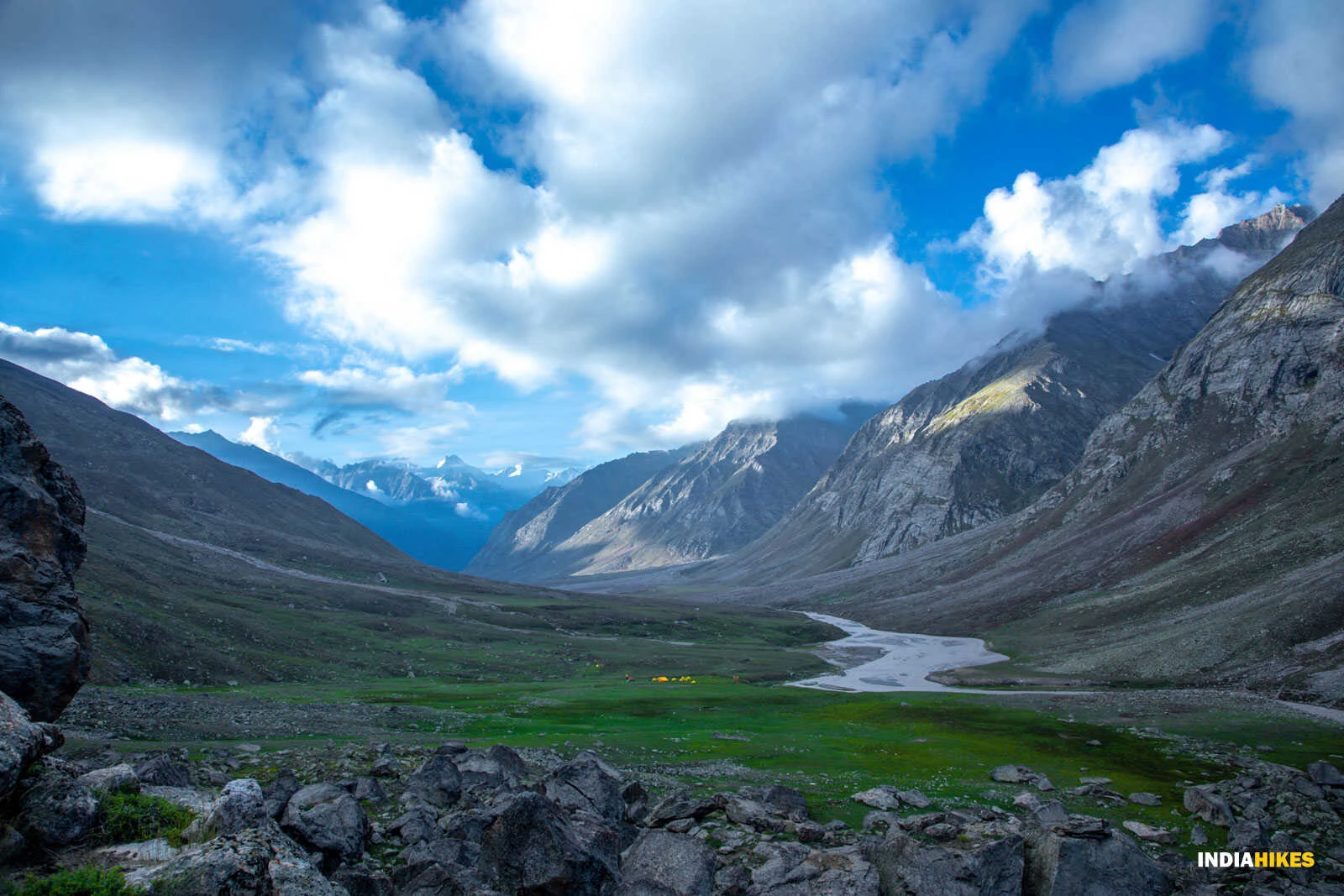
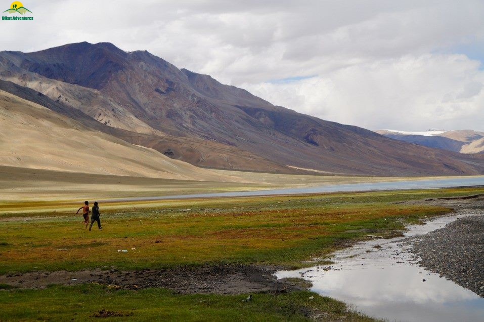
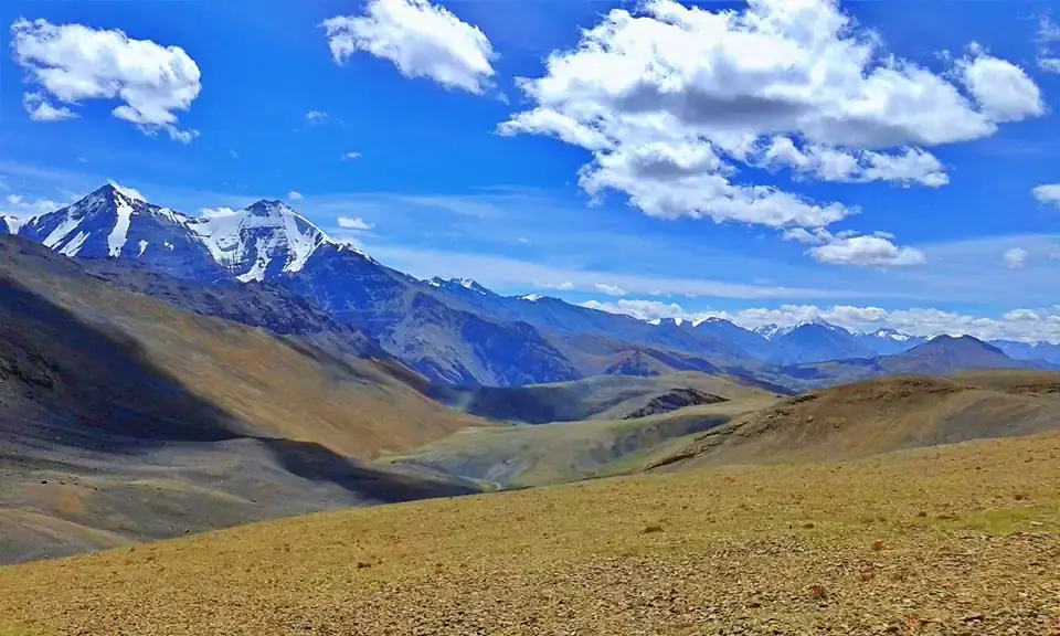
As the trail progresses beyond Hankar and Nimaling, the environment changes significantly. Green pastures give way to rocky slopes and high-altitude plateaus surrounded by snow-covered peaks. Nimaling campsite, located at around 4800 meters, provides expansive views of Kang Yatse massif and surrounding ridgelines. Trekkers typically spend an additional day here for acclimatization and load preparation. The thin air and cold temperatures at this elevation require careful pacing and hydration. From this point onward, the journey becomes more technical, with sections involving scree slopes, glacier patches, and snowfields.
Summit Push and Glacier Climb
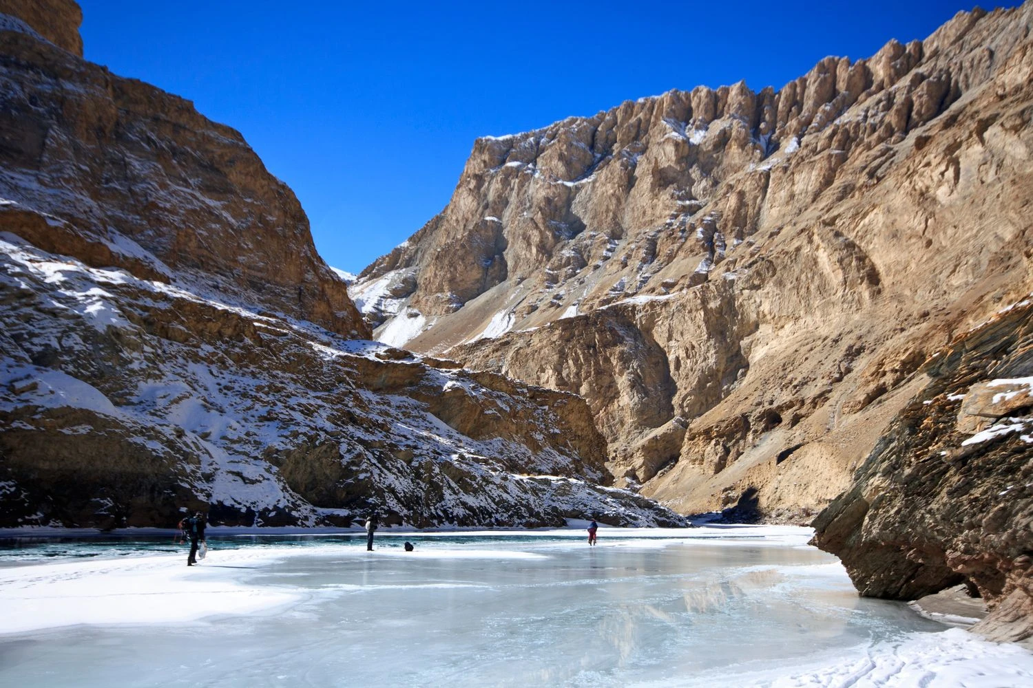
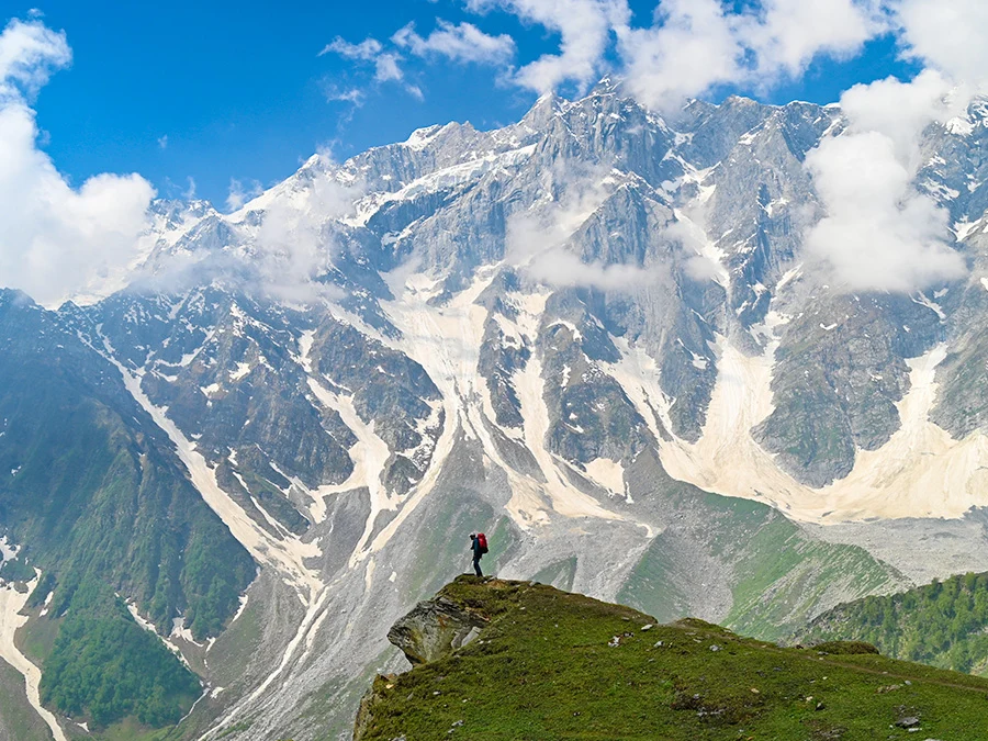
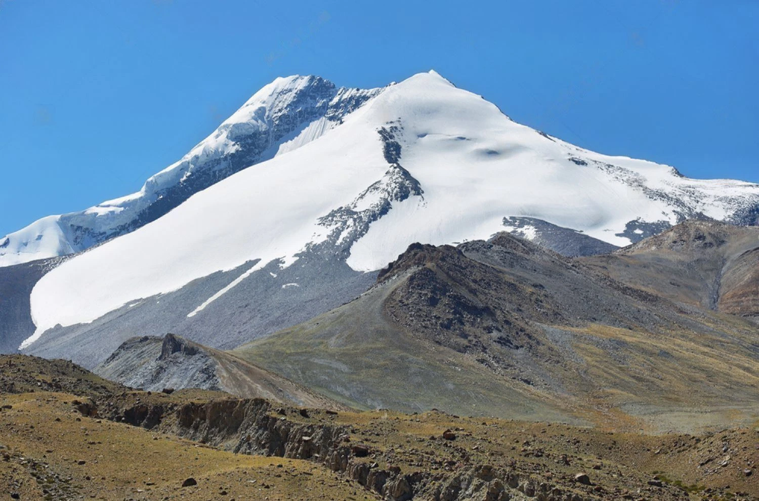
The final ascent to Kang Yatse II summit is the most challenging part of the expedition. Climbers usually begin the summit push before dawn to take advantage of stable snow conditions. The route involves walking on glacial terrain using crampons and rope support in certain sections. The gradient increases steadily as climbers approach the summit ridge. Weather plays a crucial role during this stage, with strong winds and sub-zero temperatures common even in summer. Despite the physical strain, the climb remains non-technical compared to major Himalayan expeditions, making it achievable for trekkers with basic mountaineering training and strong endurance.
Summit Experience and Himalayan Panorama
Reaching the summit of Kang Yatse II provides a breathtaking 360-degree panorama of the Zanskar and Karakoram ranges. From the top, climbers can observe endless layers of snow-covered peaks, deep valleys, and distant glaciers. The sense of exposure at this altitude is intense, with vast mountain horizons stretching beyond visible limits. The descent requires equal focus, as fatigue and changing snow conditions can affect stability. Most expeditions return to base camp on the same day after a successful summit attempt.
Difficulty Level and Expedition Planning
The Kang Yatse II Summit Trek is classified as difficult due to extreme altitude, long walking distances, and glacier travel requirements. Proper acclimatization, physical fitness, and technical preparation are essential. The best time to attempt the climb is from June to September when snow conditions are relatively stable and weather windows are more predictable. Winter and early spring bring heavy snowfall and severe cold, making the route unsafe. For trekkers seeking a transition from trekking to mountaineering, Kang Yatse II provides a structured introduction to high-altitude expedition climbing in the Indian Himalayas.