


Sham Valley Trek: The Best Beginner Trek in Ladakh
The Sham Valley Trek is often described as the easiest and most culturally immersive trekking route in Ladakh. Located in the lower altitude region west of Leh, this trek is ideal for those who want to experience the stark beauty of the trans-Himalayan landscape without facing the extreme challenges of high mountain passes. Sometimes referred to as the “baby trek of Ladakh,” Sham Valley offers a unique combination of desert mountains, remote villages, Buddhist monasteries, and ancient trade routes. At an altitude that stays mostly below 3900 meters, the trek allows beginners to explore Himalayan terrain while gradually adjusting to the region’s thin air and dry climate.
The Route and Cultural Significance
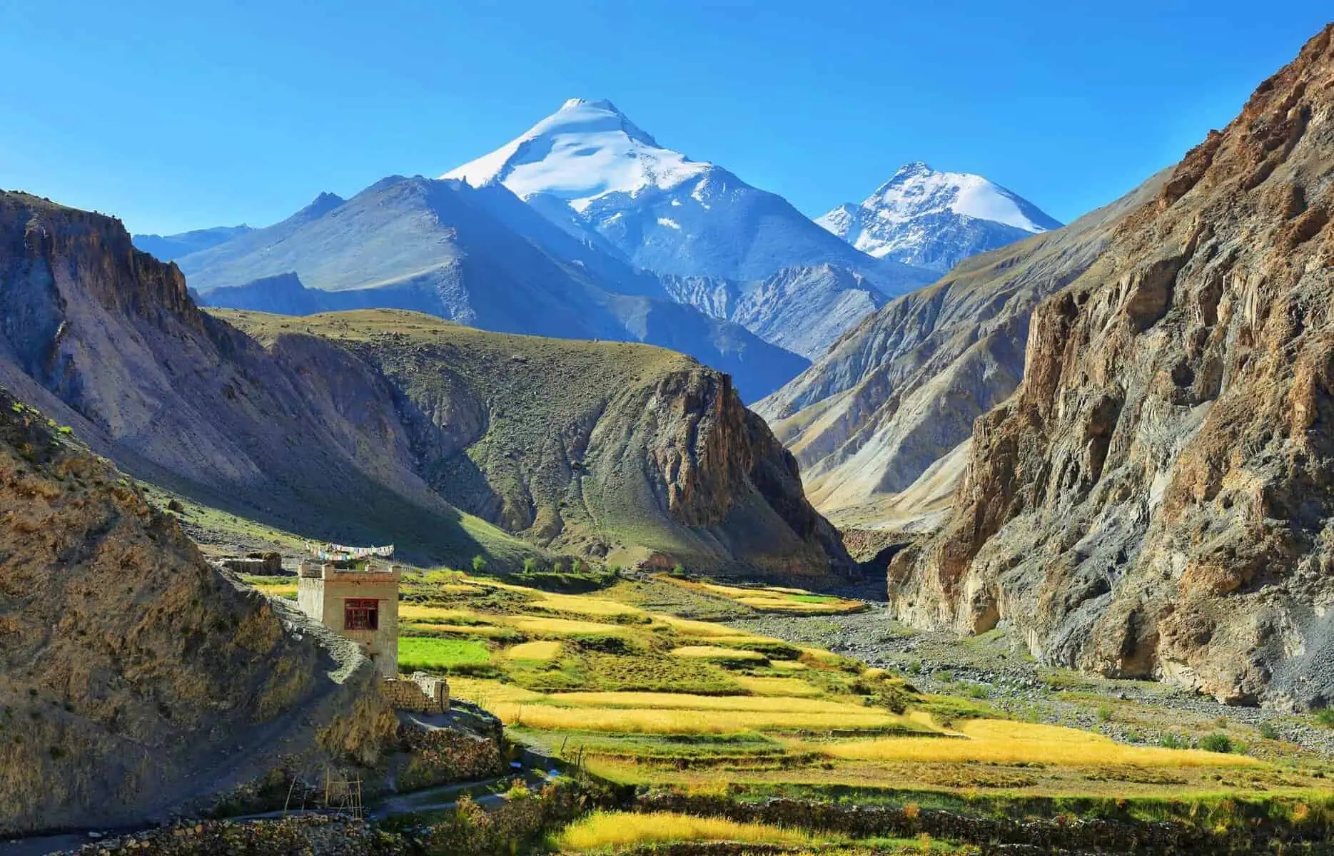
The trek typically begins from Likir, a historic village known for its monastery and traditional Ladakhi architecture. From here, the trail connects a series of remote settlements through mountain passes and narrow valleys. Unlike glacier treks or alpine meadow routes, the Sham Valley Trek is defined by its cultural connections. Trekkers walk along centuries-old pathways once used by traders and monks, passing prayer flags, mani walls, and small stupas along the way. Each village offers a glimpse into Ladakhi life, where agriculture, livestock rearing, and monastic traditions shape daily routines.
Landscape and Desert Mountain Terrain
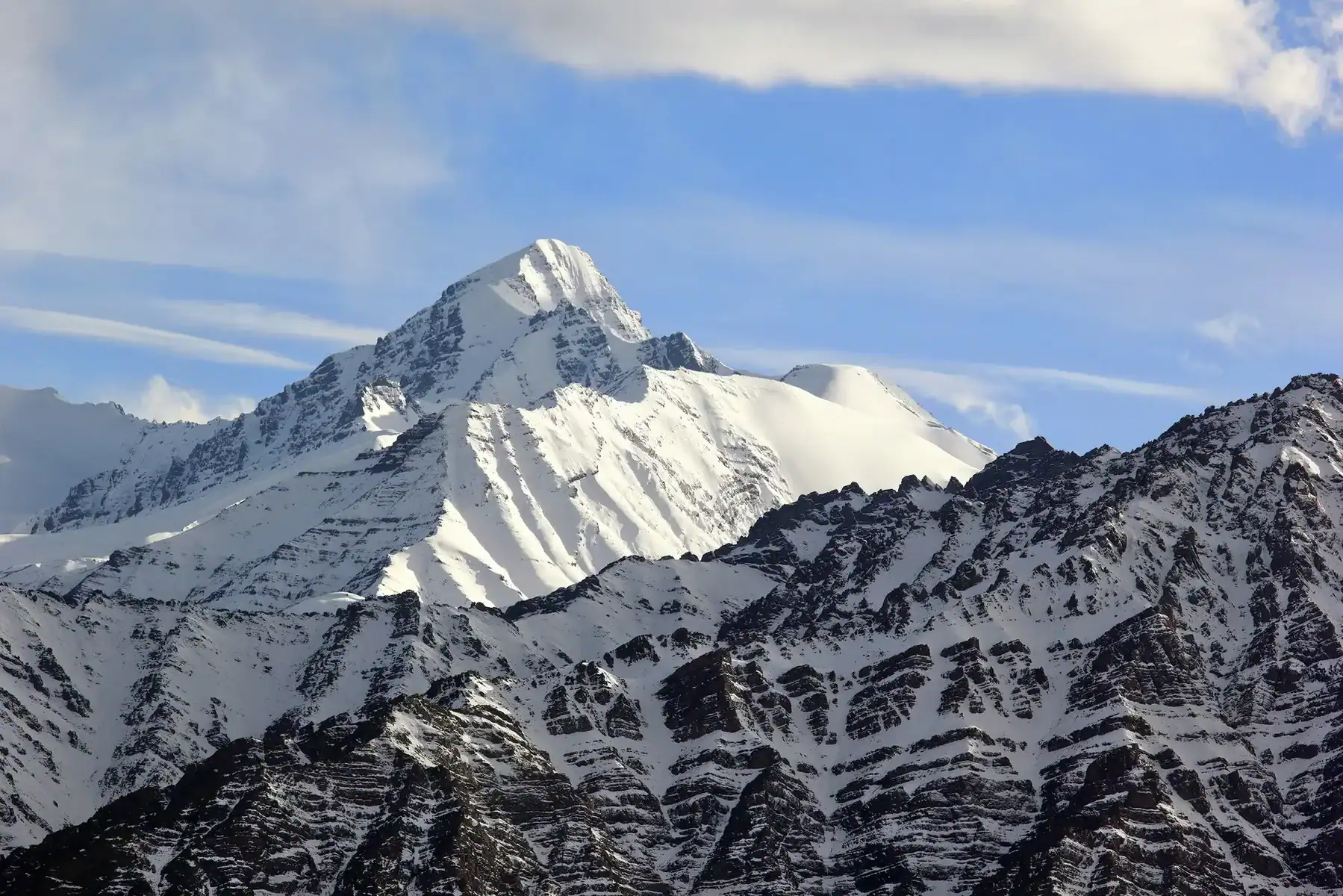
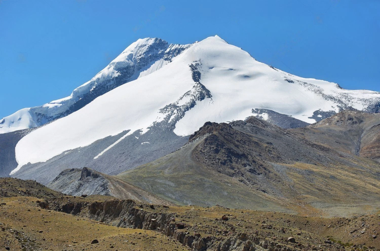
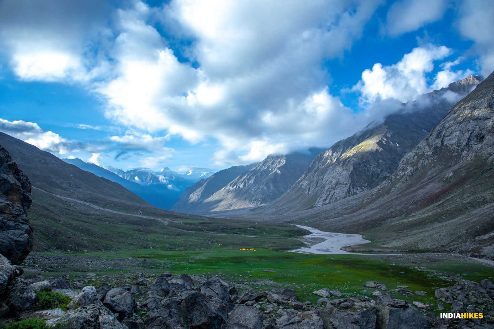
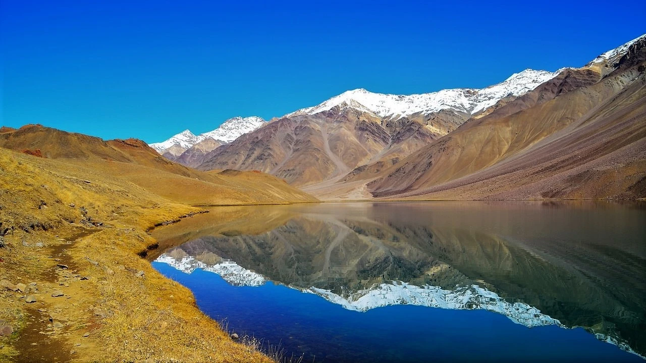
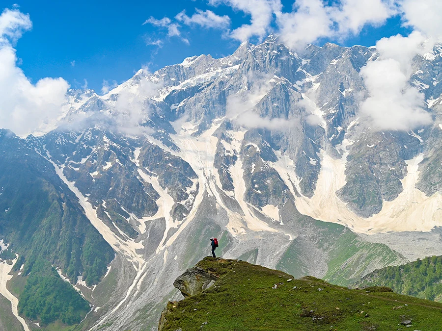
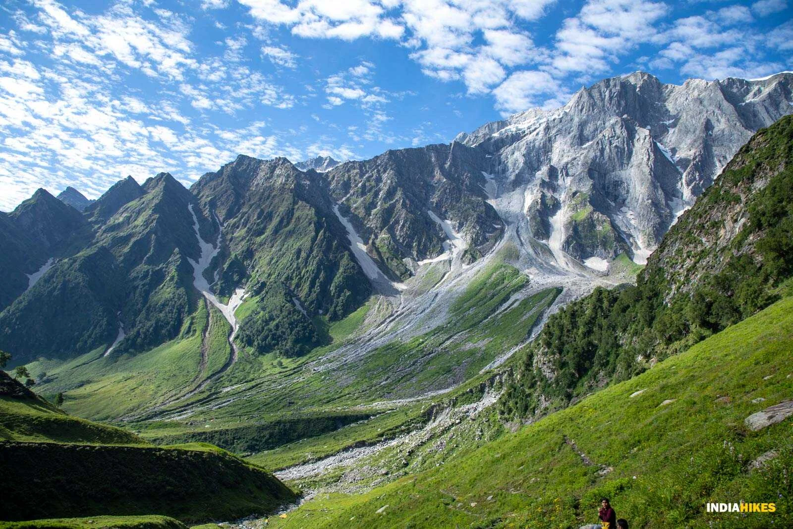
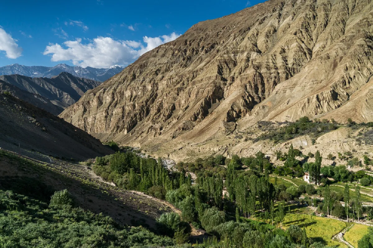
The landscape of Sham Valley reflects the cold desert environment of Ladakh. The terrain consists of dry ridges, sandy paths, and rocky slopes shaped by wind and erosion. Vegetation is sparse, limited mainly to irrigated fields near villages where barley and peas are grown. Despite the lack of greenery, the scenery is visually compelling due to its wide horizons and dramatic contrasts between sunlit mountains and deep shadows. Trekkers often encounter viewpoints where multiple valleys stretch into the distance, creating a strong sense of openness rarely found in forested Himalayan treks.
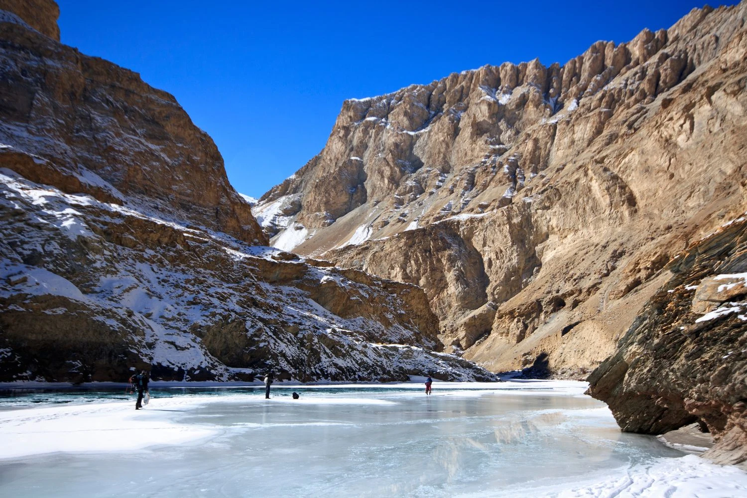
Mountain Passes and Walking Experience
The trek involves crossing a series of moderate mountain passes such as Phobe La and Chagatse La. These passes do not require technical climbing but provide gradual altitude gain and expansive views. The trails are well-defined and commonly used by locals, making navigation relatively straightforward. Walking conditions vary from sandy slopes to compact dirt paths and occasional rocky stretches. Because distances between villages are manageable, trekkers can maintain a comfortable pace and focus on absorbing the surroundings rather than dealing with physical strain.
Weather Conditions and Best Time to Visit
The Sham Valley Trek can be done from late spring to early autumn, with May to September offering the most stable weather. Ladakh lies in a rain-shadow region, which means monsoon rains rarely affect the trekking route. Days are usually sunny and warm, but strong ultraviolet radiation and dry winds can make conditions feel harsher. Nights can become cold, especially at higher camps or homestays. October brings clearer skies and fewer trekkers but also colder temperatures. Winter months are not suitable due to snow and limited accessibility.
Difficulty Level and Who Should Attempt the Trek
The Sham Valley Trek is classified as easy to moderate and is widely regarded as one of the best introductory treks in the Himalayas. It is suitable for beginners, families, and travelers who want a short outdoor experience in Ladakh. Although the altitude is moderate, proper acclimatization in Leh for at least one or two days is recommended. The trek is also appealing to photographers, cultural enthusiasts, and those interested in understanding traditional mountain lifestyles. Rather than offering a dramatic summit goal, Sham Valley provides a steady, enriching journey through one of India’s most distinctive landscapes.