

Indrahar Pass Trek: Cross the Dramatic Gateway Between Kangra and Chamba
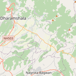
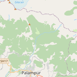
The Indrahar Pass Trek is one of the most spectacular high-altitude adventures in Himachal Pradesh, offering trekkers an unforgettable journey through the rugged Dhauladhar Range. Located near McLeod Ganj and Dharamshala, this iconic mountain pass stands at an elevation of approximately 4,342 meters and forms the natural divide between the Kangra and Chamba valleys. The trek is renowned for its dramatic landscapes, rapidly changing terrain, and breathtaking views of the Dhauladhar and Pir Panjal mountain ranges. Unlike many Himalayan treks that require long approaches, Indrahar Pass delivers a genuine high-altitude experience within just a few days. Starting from the vibrant hill town of McLeod Ganj, the trail passes through dense oak, rhododendron, and deodar forests before ascending into alpine meadows, glacial valleys, rocky ridges, and high mountain passes. The combination of natural beauty, challenging terrain, and cultural richness has made the Indrahar Pass Trek one of the most popular trekking routes in northern India.
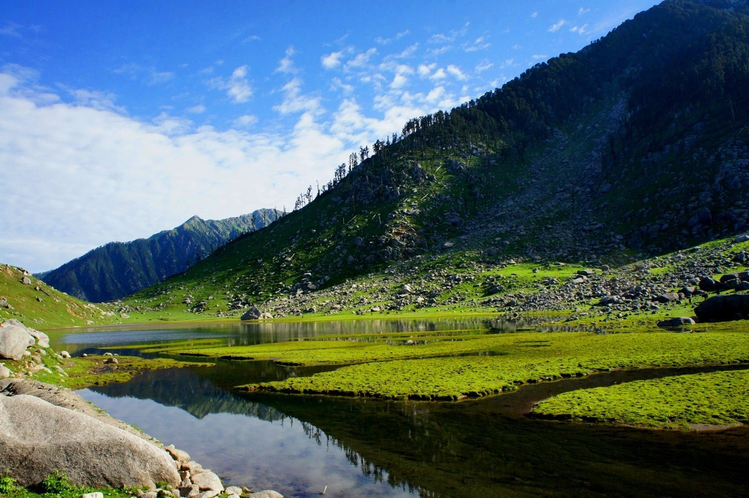
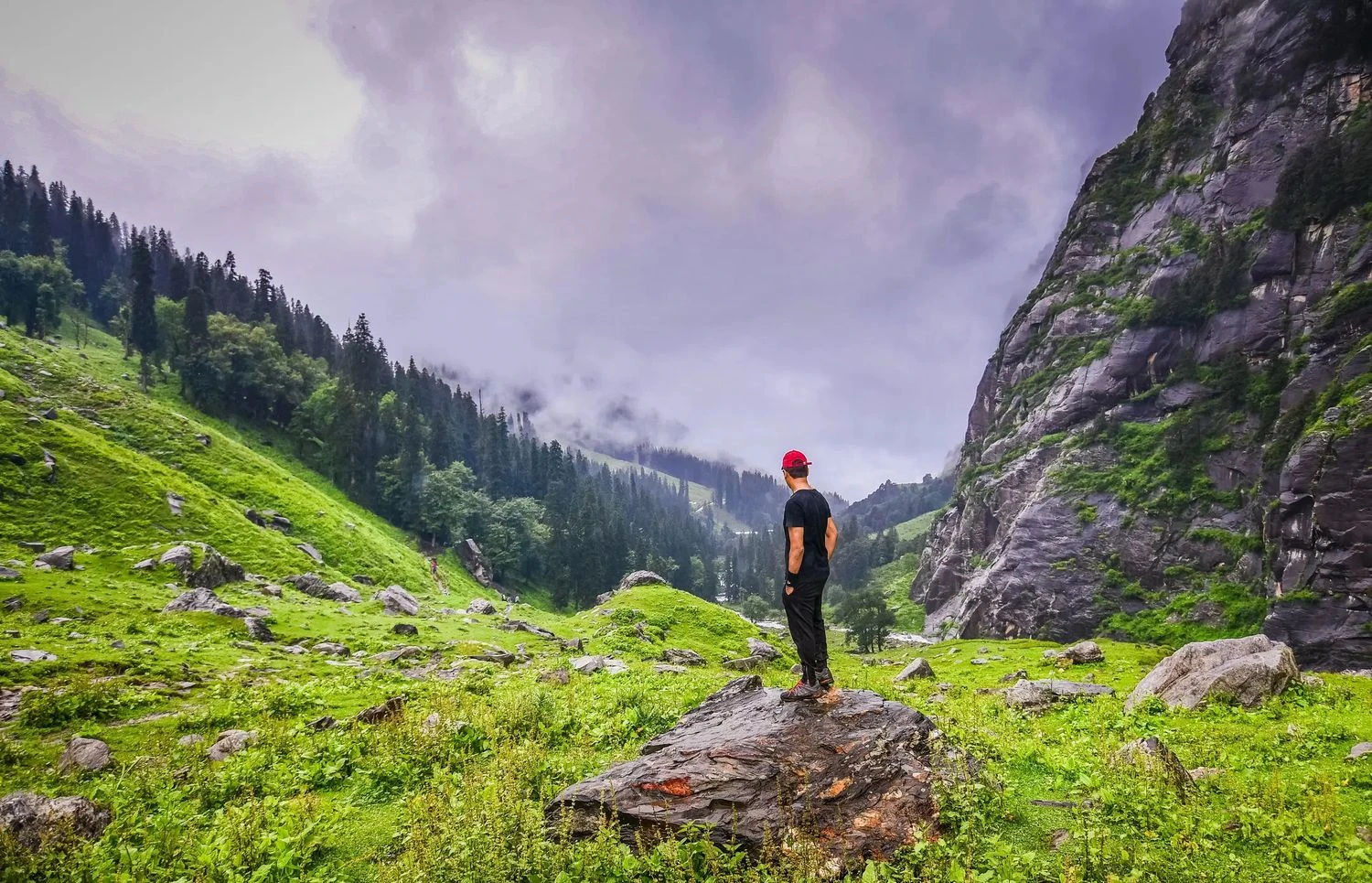
From McLeod Ganj to the Famous Meadows of Triund
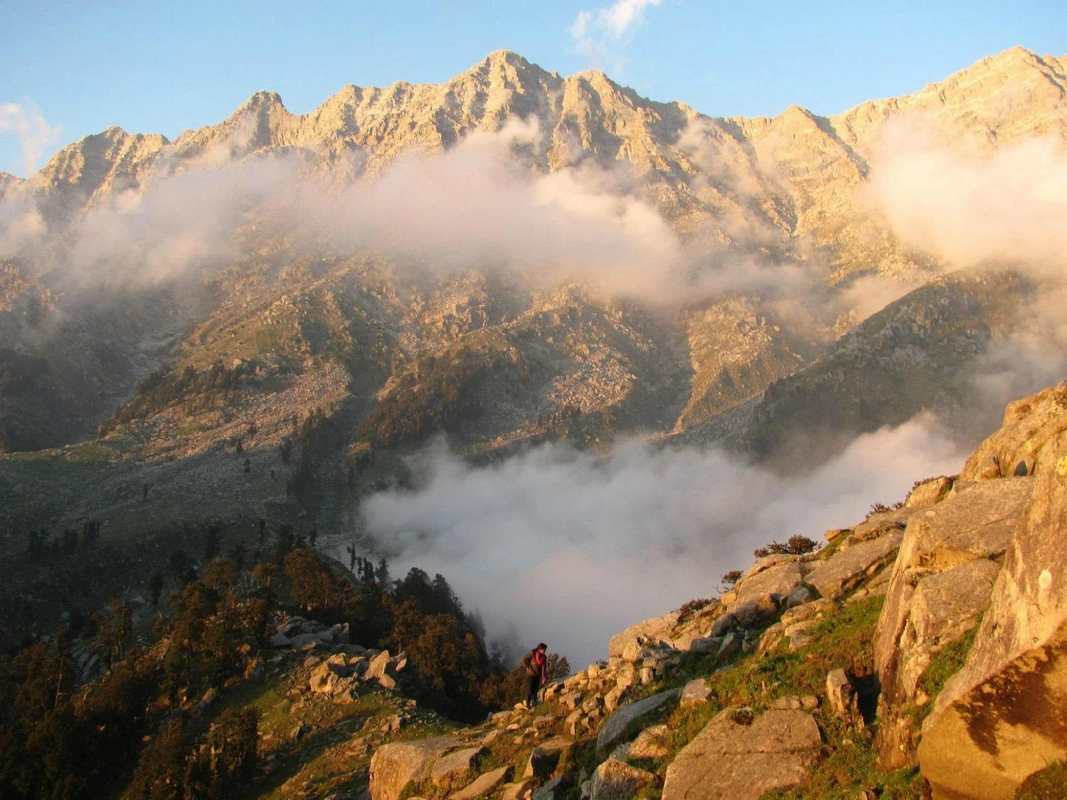
The trek begins from McLeod Ganj, the spiritual home of the Tibetan community in India and residence of the Dalai Lama. The initial trail ascends through beautiful forests before reaching Triund, one of the most famous Himalayan meadows in India. Perched on a ridge overlooking the Kangra Valley, Triund offers stunning panoramic views of snow-covered Dhauladhar peaks. The contrast between the lush valley below and the towering mountains above creates a landscape that captivates trekkers from the very first day. As the trail progresses beyond Triund, the crowds gradually disappear and the wilderness becomes increasingly dramatic.
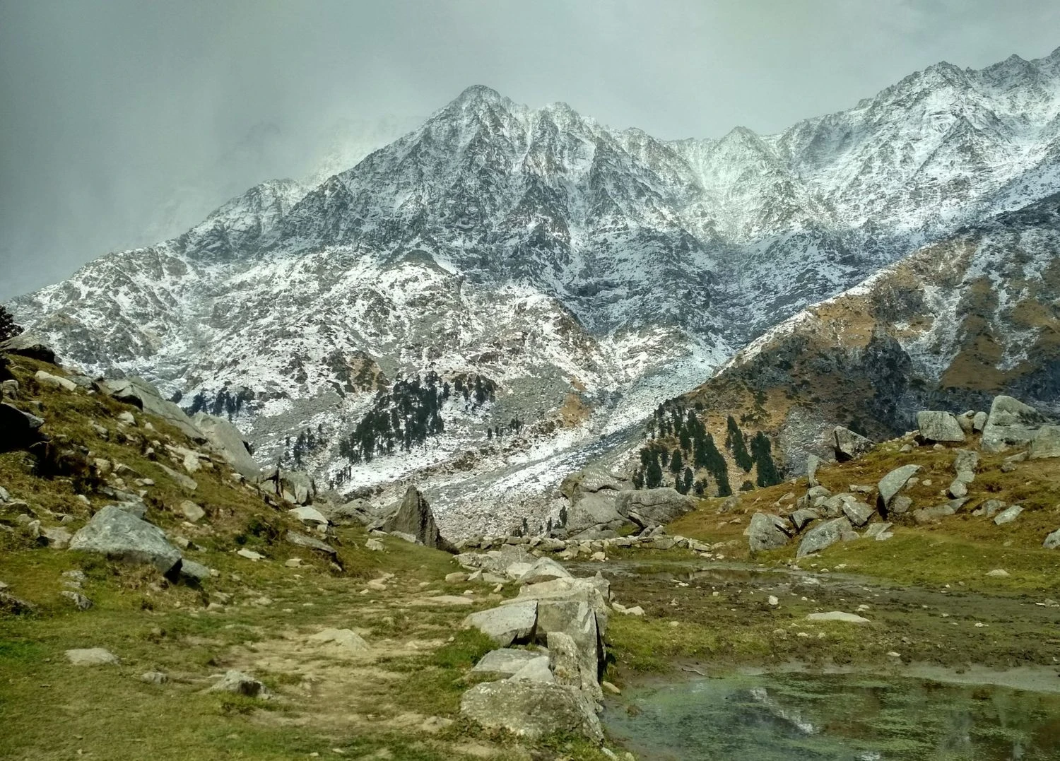
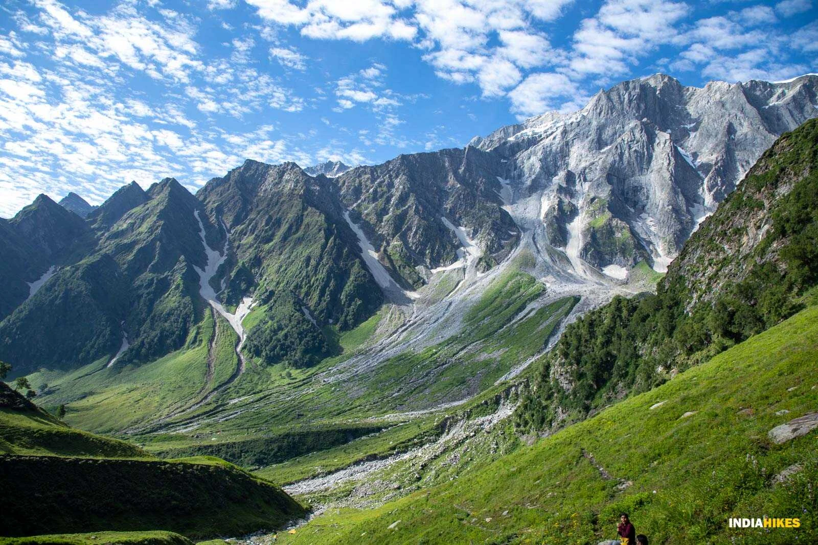
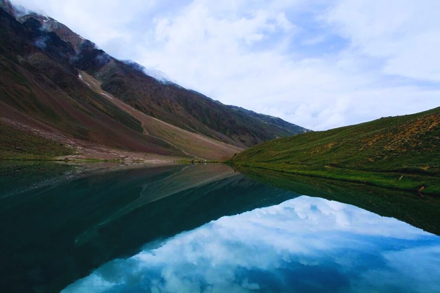
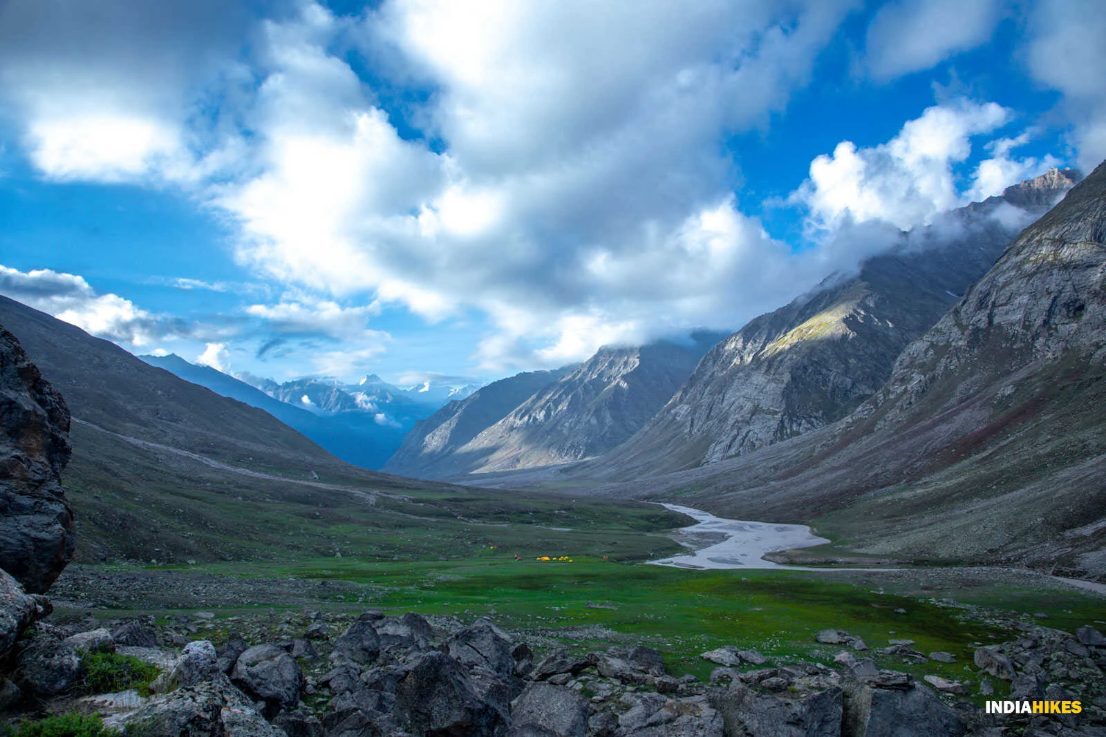
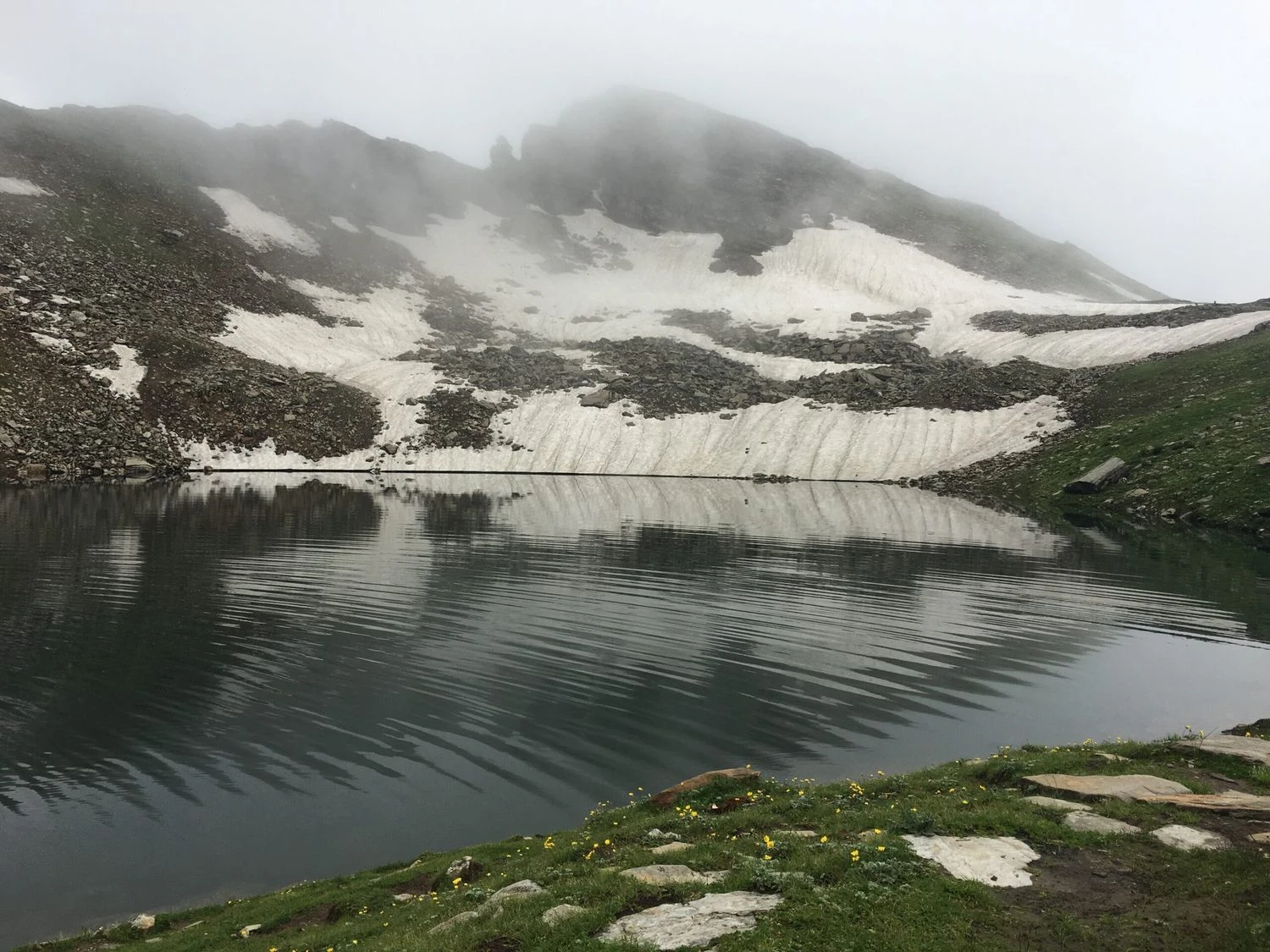
Laka Glacier, Lahesh Cave, and High Mountain Terrain
Beyond Triund, the route transitions into a rugged alpine environment. Trekkers pass through Laka Got, a seasonal grazing meadow located near remnants of snowfields and glacial terrain. The landscape becomes progressively rocky as vegetation gives way to boulder fields and steep mountain slopes. Lahesh Cave serves as a traditional shelter and campsite for trekkers preparing for the final ascent to the pass. Surrounded by massive granite formations and dramatic ridgelines, this section of the trek provides a true Himalayan wilderness experience. The challenging terrain demands steady effort but rewards trekkers with increasingly spectacular views.
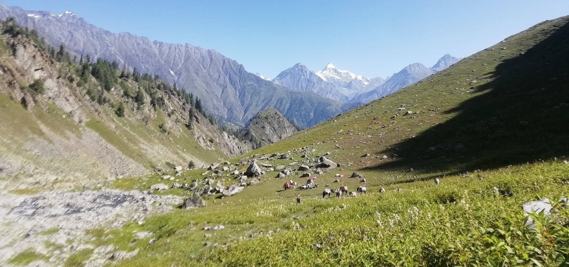
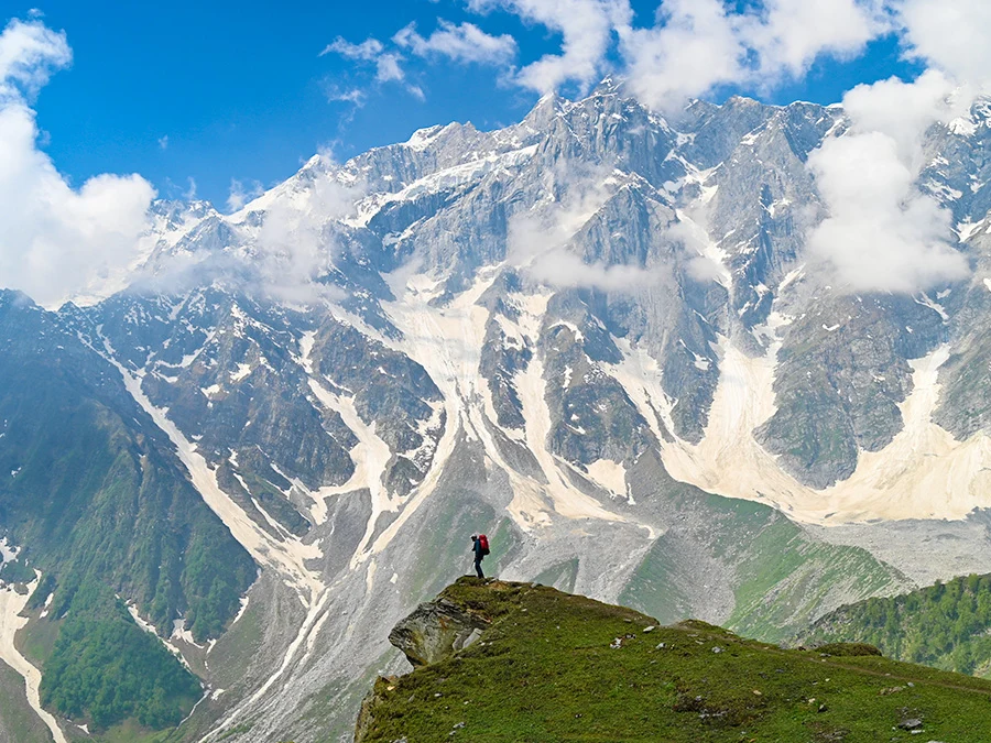
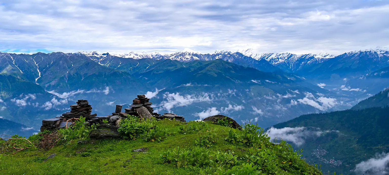
The Final Ascent to Indrahar Pass
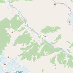
Summit day is the highlight of the expedition. The trail climbs steeply through rocky slopes and loose scree before reaching Indrahar Pass itself. Standing at the pass, trekkers witness one of the finest mountain panoramas in the Western Himalayas. To one side lies the lush Kangra Valley, while the remote landscapes of Chamba unfold on the other. The pass offers uninterrupted views of the Dhauladhar Range, Pir Panjal peaks, and numerous surrounding summits. During clear weather, the scale of the Himalayas becomes truly apparent, making the demanding climb immensely rewarding.
Best Time to Visit and Trek Preparation
The best time for the Indrahar Pass Trek is from May to June and September to October when weather conditions are generally stable and visibility is excellent. Monsoon months can bring slippery trails and reduced visibility, while winter snow often blocks access to the pass. The trek is classified as moderate to difficult because of its steep ascents, rocky terrain, and high altitude. Trekkers should possess good fitness levels and prepare adequately with endurance training before the expedition. Proper trekking shoes, layered clothing, rain protection, and sufficient hydration are essential. For those seeking a challenging Himalayan trek that combines forests, meadows, glaciers, mountain passes, and spectacular views within a compact itinerary, Indrahar Pass remains one of Himachal Pradesh's finest adventures.