


Kalavantin Durg Trek: Steep Rock Steps and Panoramic Sahyadri Views
The Kalavantin Durg Trek is one of the most thrilling and visually striking short treks in Maharashtra. Located near Panvel in the Sahyadri mountain range, the fort stands at an altitude of about 686 meters and is widely known for its steep rock-cut staircase leading to the summit. Often paired with the nearby Prabalgad Fort, Kalavantin Durg offers trekkers a dramatic ascent combined with expansive views of the surrounding hills and valleys. The trek has gained popularity due to its unique trail structure and the sense of adventure it provides despite its relatively short distance.
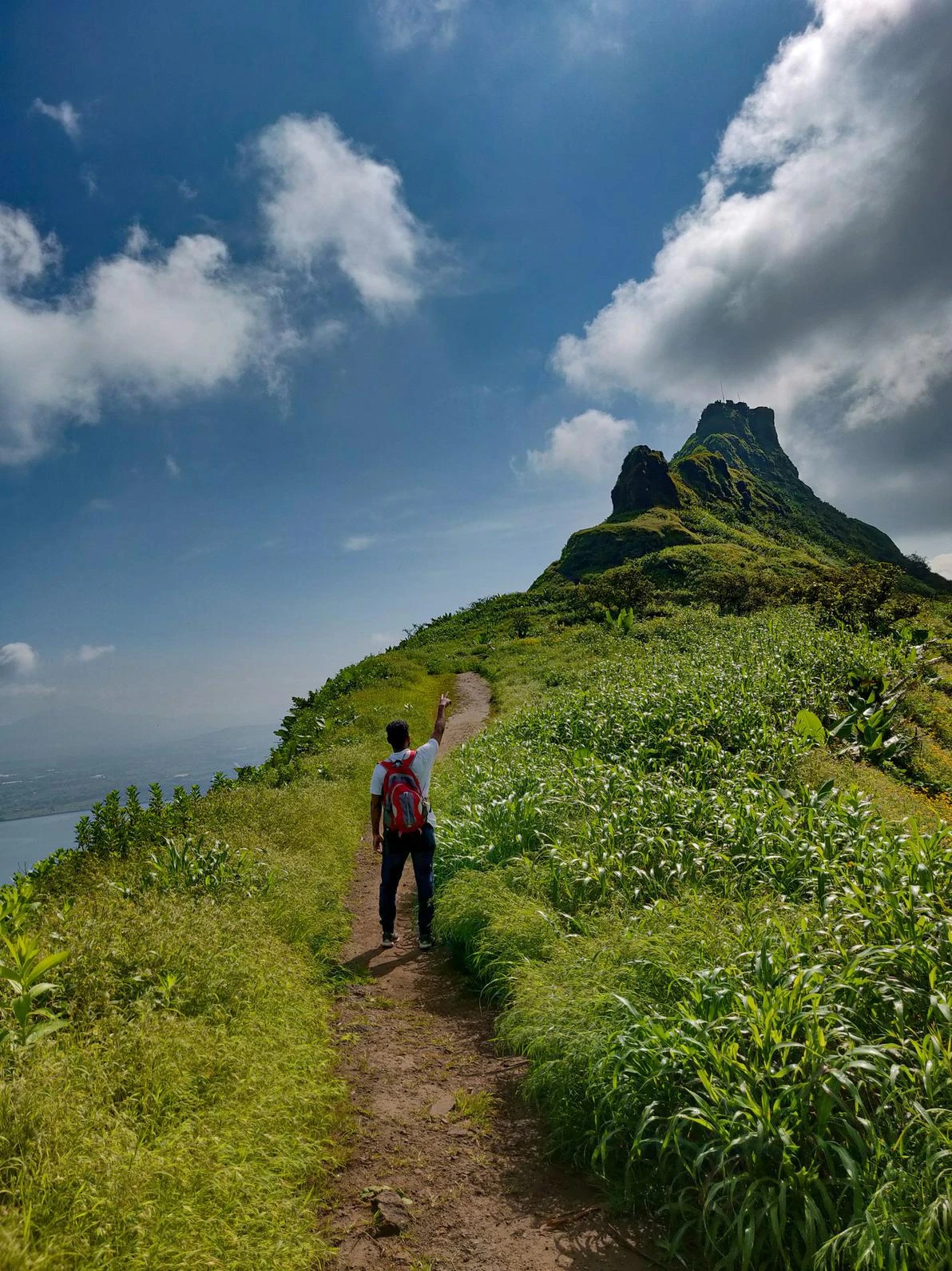
Trail Approach from Thakurwadi Village
The trek begins from Thakurwadi village, which serves as the primary base point for both Kalavantin Durg and Prabalgad treks. The initial section of the trail involves a gradual climb through open slopes and forest patches. The path is well defined and passes through local hamlets where trekkers may encounter traditional rural life. As the altitude increases, the trail becomes steeper and transitions into rocky terrain. This section requires careful footing, especially during monsoon months when the ground becomes slippery.
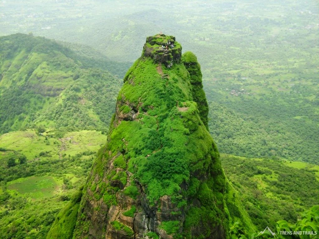
Iconic Rock-Cut Steps and Final Ascent
The most distinctive feature of the Kalavantin Durg Trek is the final ascent along a narrow ridge with exposed rock-cut steps. These steps, carved directly into the mountain, form a steep staircase that leads to the summit plateau. There are no railings or protective barriers in many sections, which adds to the sense of adventure and requires trekkers to remain cautious. The climb can be physically demanding due to the gradient, but the structured steps provide a steady route upward. Early morning or late afternoon ascents are preferred to avoid intense heat.
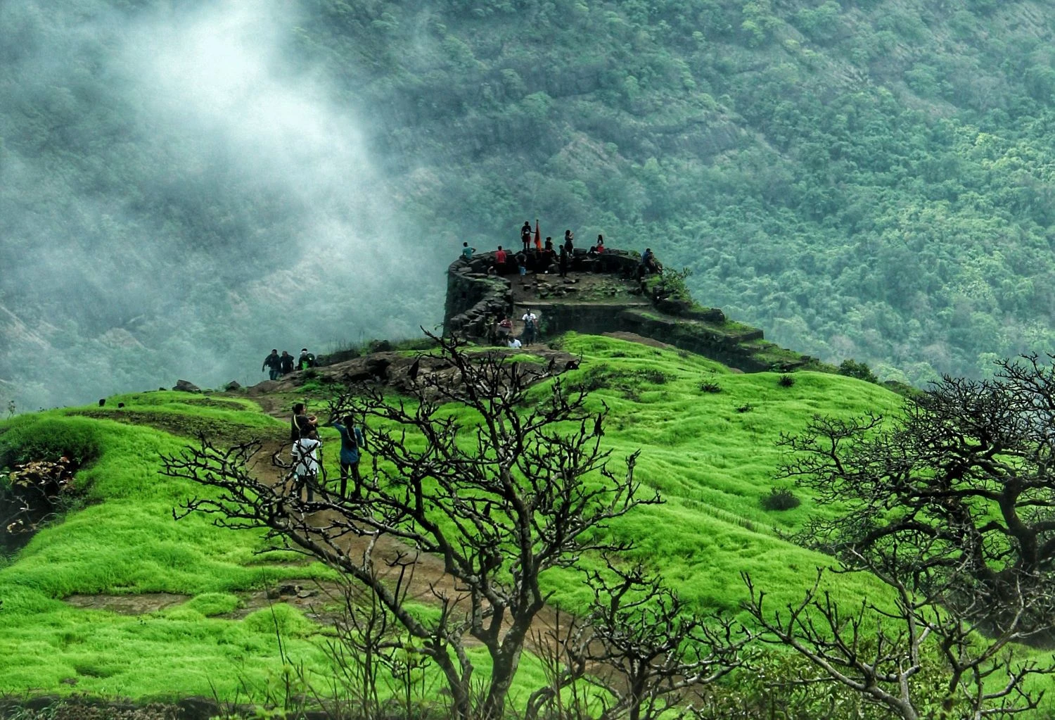
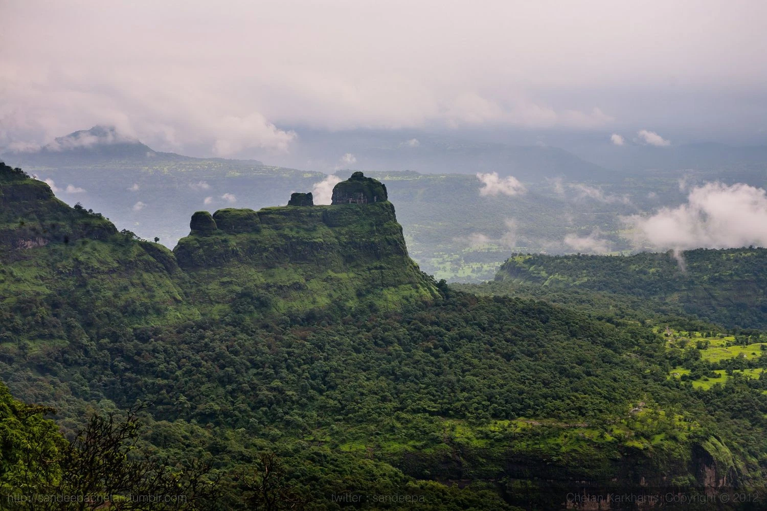
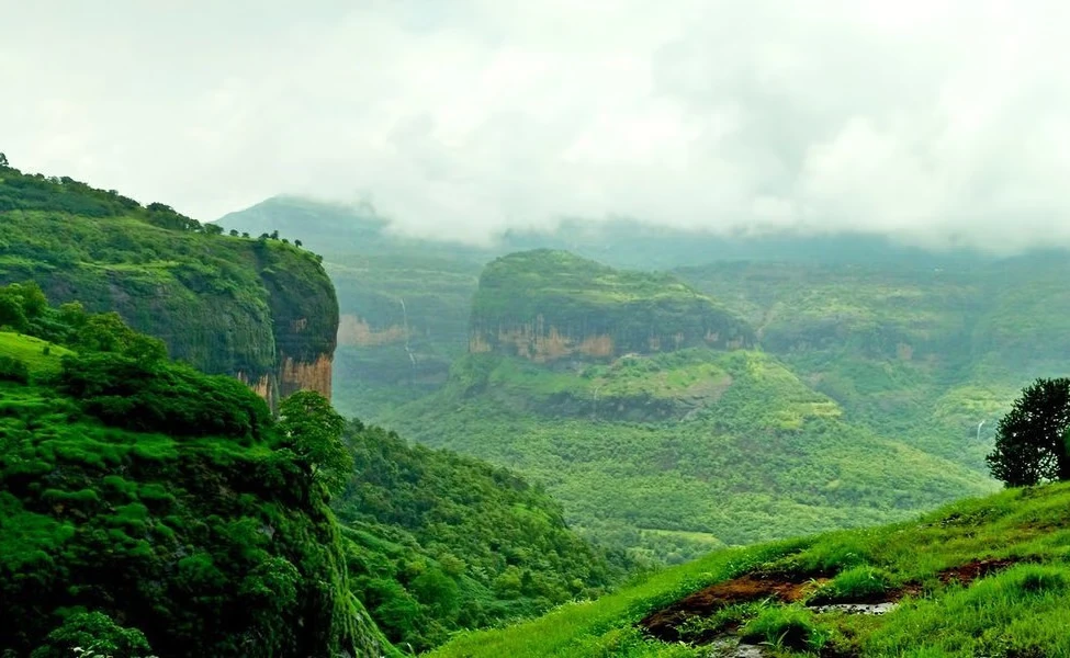
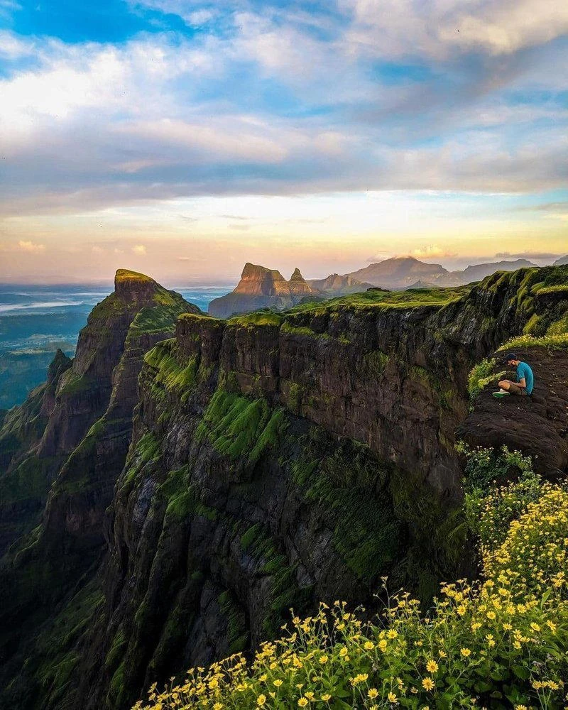
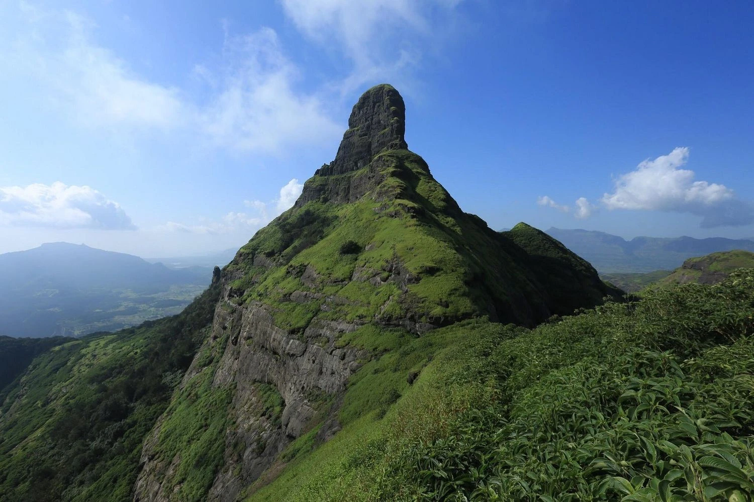
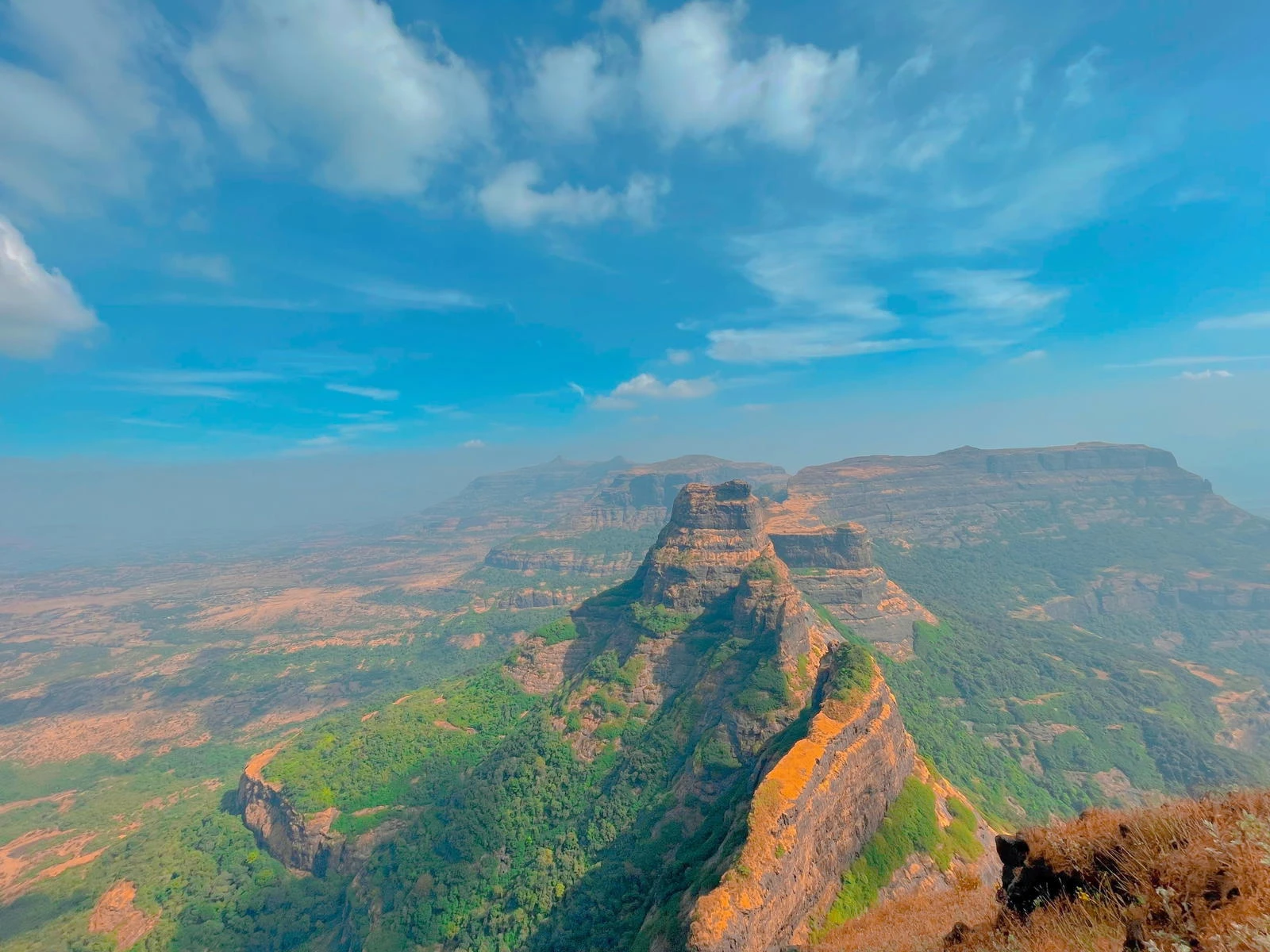
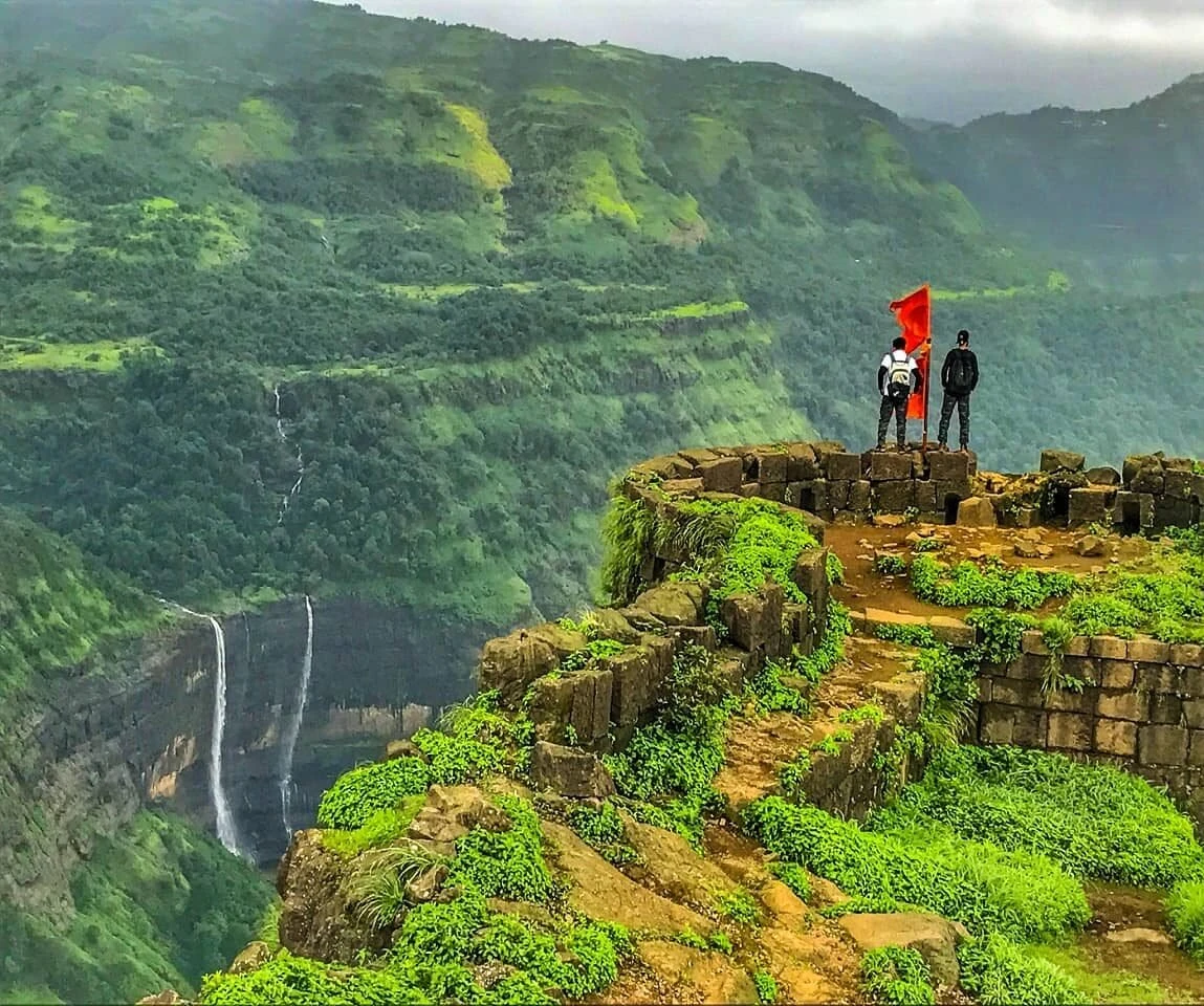
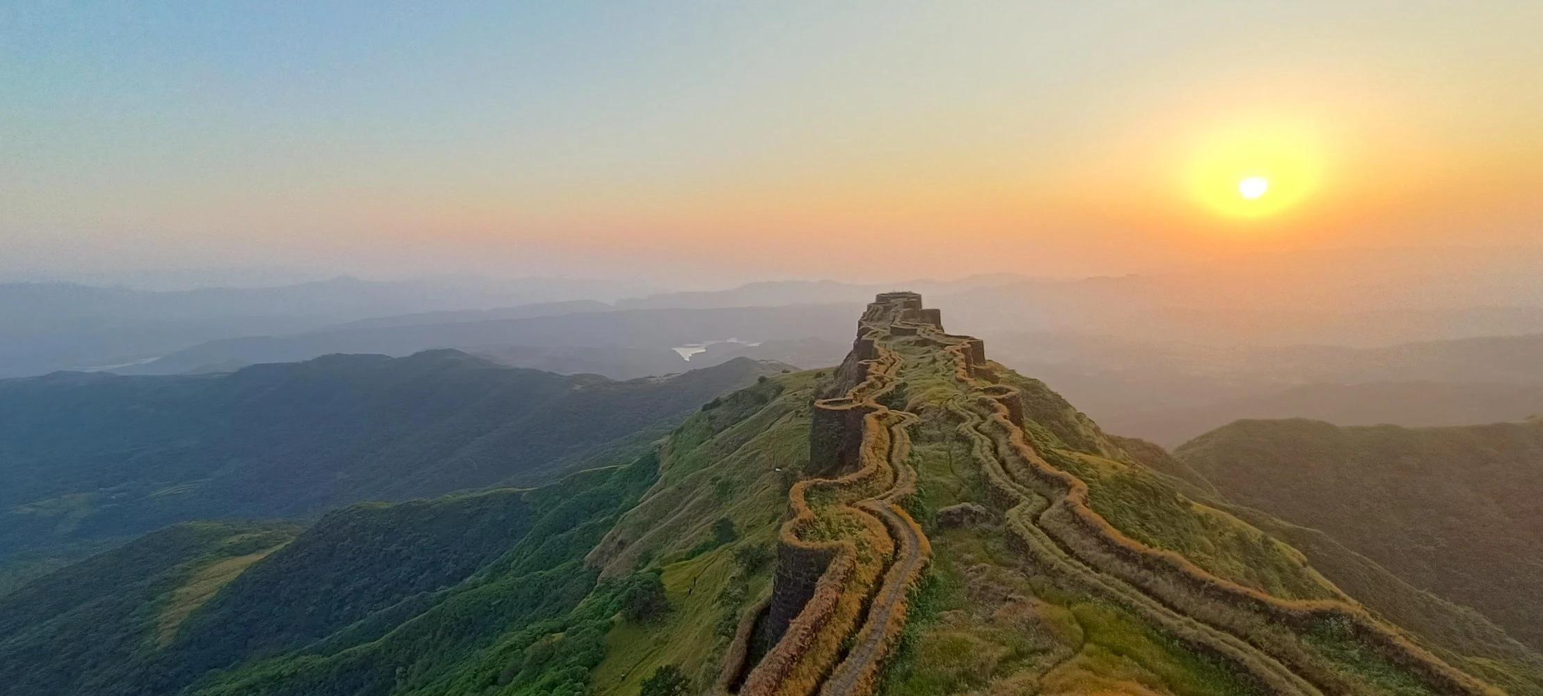
Summit Views and Sahyadri Landscape
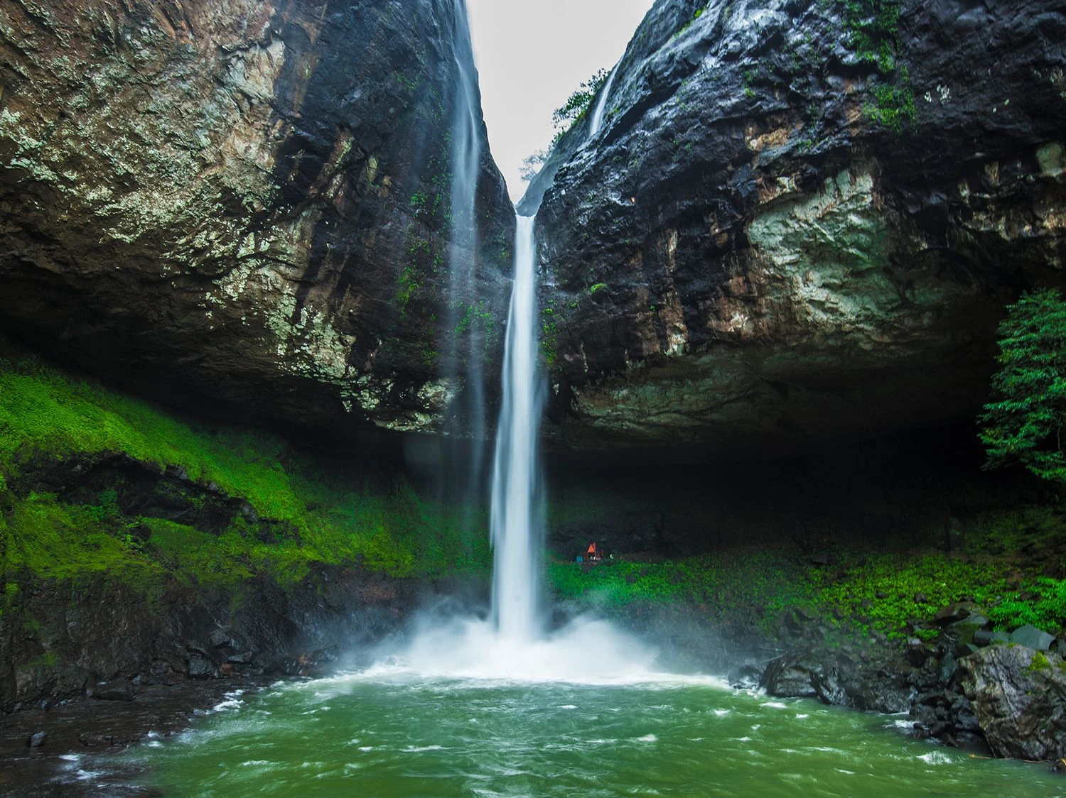
Upon reaching the top of Kalavantin Durg, trekkers are rewarded with panoramic views of the Sahyadri ranges. The nearby Prabalgad Fort dominates the skyline, while valleys and forested hills extend in all directions. The summit itself is relatively small, consisting of rocky surfaces and open viewpoints. During clear weather, the surrounding mountain ridges create dramatic visual contrasts. Monsoon months transform the landscape into lush green terrain with mist drifting across the peaks, enhancing the trekking experience.
Seasonal Conditions and Trek Difficulty
The best time to attempt the Kalavantin Durg Trek is between October and February when temperatures are moderate and visibility is high. Monsoon trekking is popular due to scenic greenery but requires extra caution because the steps can become slippery. Summer months may be uncomfortable due to exposed sections and heat. The trek is generally classified as moderate to challenging due to the steep final climb and exposed ridge sections. While beginners with good fitness can attempt it, proper preparation and awareness of trail conditions are important.
Overall Trekking Profile and Experience
The Kalavantin Durg Trek provides a compact yet adventurous trekking experience near major urban centers like Mumbai and Pune. Its combination of historical significance, dramatic ascent, and scenic viewpoints makes it one of the most photographed trekking destinations in Maharashtra. The trek is suitable for day hikers seeking a challenging climb without the need for multi-day camping. With careful planning and safe trekking practices, Kalavantin Durg offers a memorable journey into the rugged terrain of the Western Ghats.